The original article from which this post comes from was first published in June 2014 for The Celtic Guide, a free to download magazine.
Water – it is life giving and for some life changing. It shows us a reflection of ourselves and without it we and all around us would cease to exist. It is essential to our being. Many cultures, past and present, have recognised this simple fact. For the ancient Egyptians it was from water that all creation began, in ancient Mesopotamia water was regarded as a symbol of absolute wisdom. In many situations water is given anthropomorphic qualities which are almost always female. Interpretations of the meaning behind the names for the Rivers Dee and Don in Scotland range from ‘the goddess’ to ‘the mother’. Identification with the female is common thread across the world’s cultures.
Today the most sacred river to Hindus is the river Ganges; it is worshipped as the goddess Ganga who descended from heaven to earth. To bathe in the waters of the Ganges is to wash away your sins; her waters are seen as both pure and purifying. It is also believed the Ganges flows in heaven, earth and the netherworld and is regarded as a crossing point of all beings, the living and the dead. Thus it is very desirable to have the ashes of a loved one scattered on the Ganges. This belief in the sanctity of the river, and all rivers, began early in Indian culture and has continued uninterrupted for several thousand years.
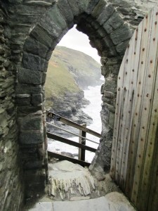
Heading far to the west and much closer to home, we arrive in Britain and ask ourselves was water important to our ancestors? The answer would be a definitive “Yes”. In fact, the importance of watery places in Britain’s past is a given for archaeologists and other like-minded individuals. There have over the years been numerous outstanding excavations and archaeological finds to back this up.
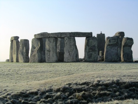
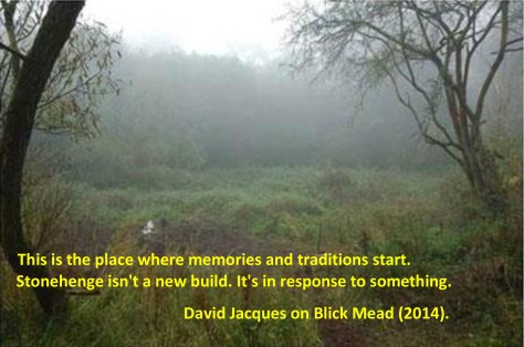
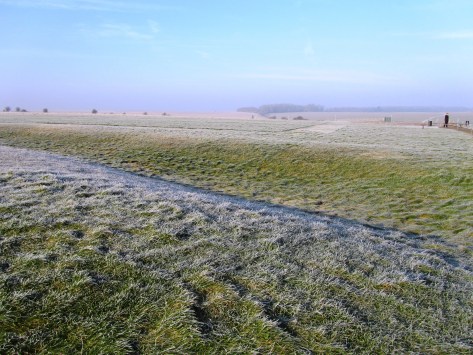
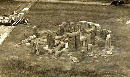
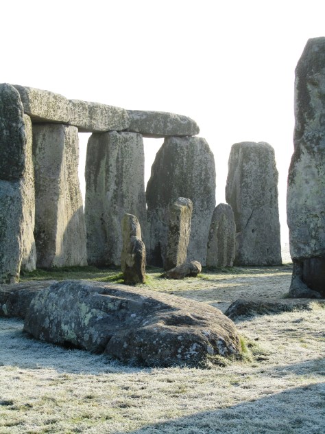
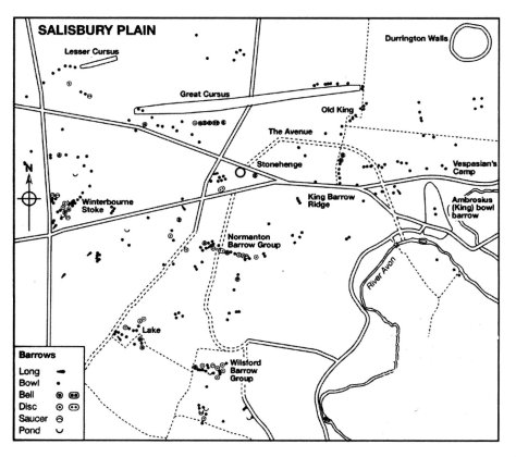
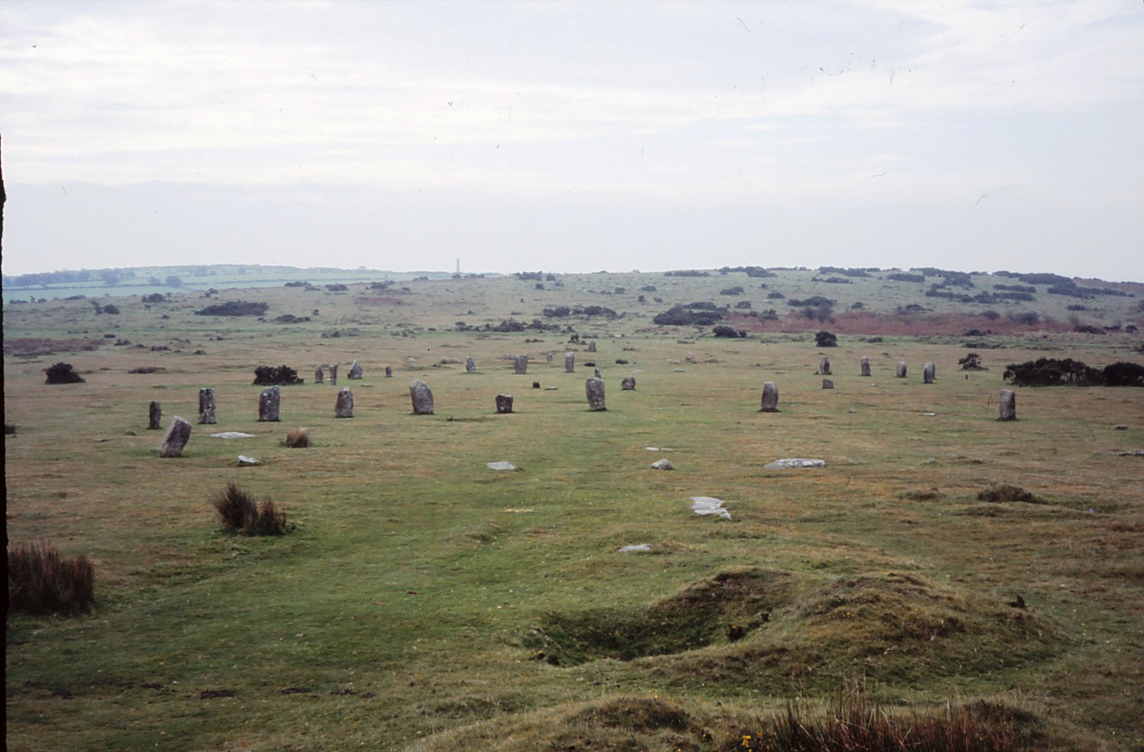
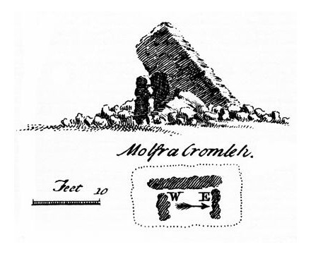
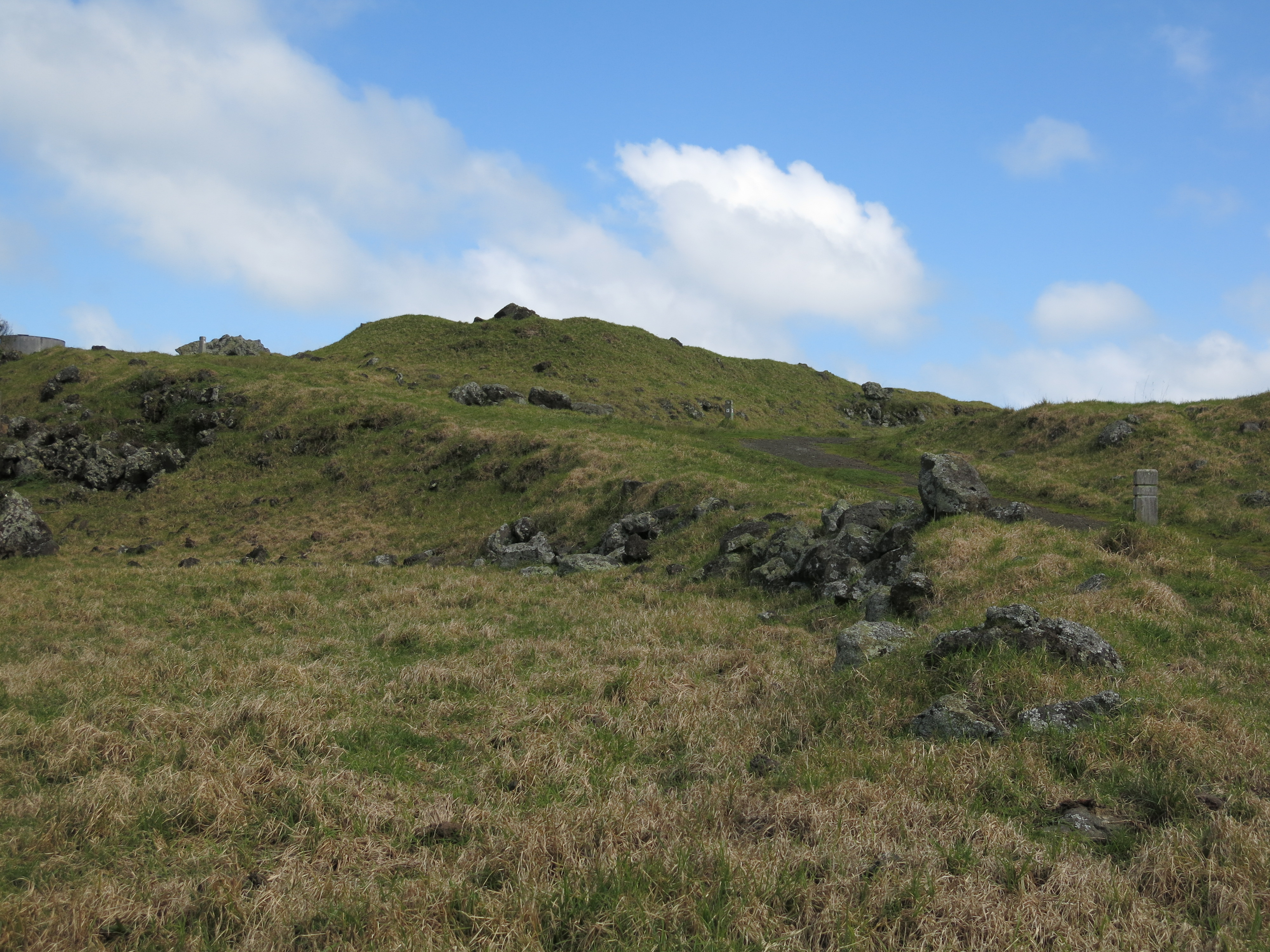
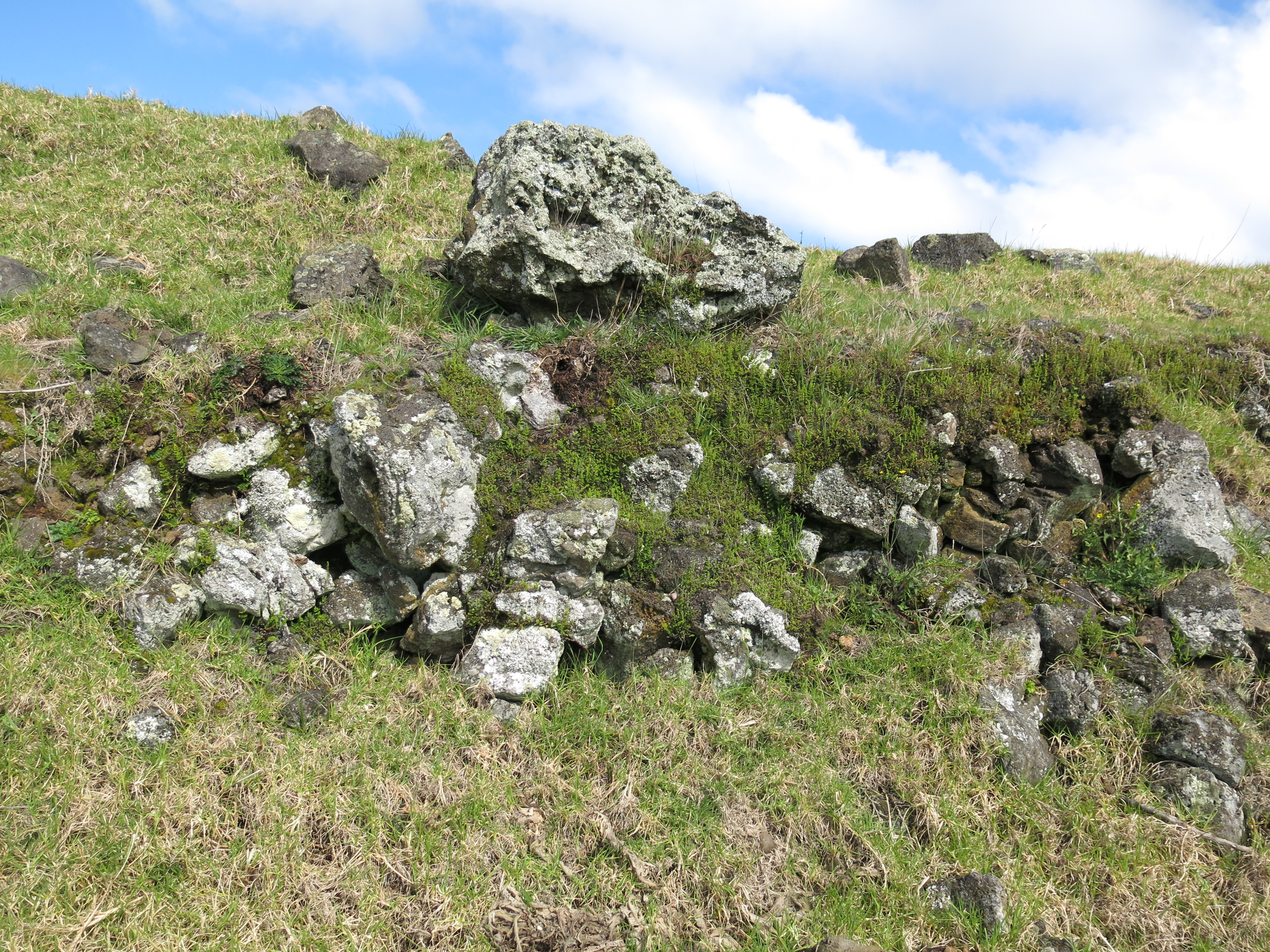
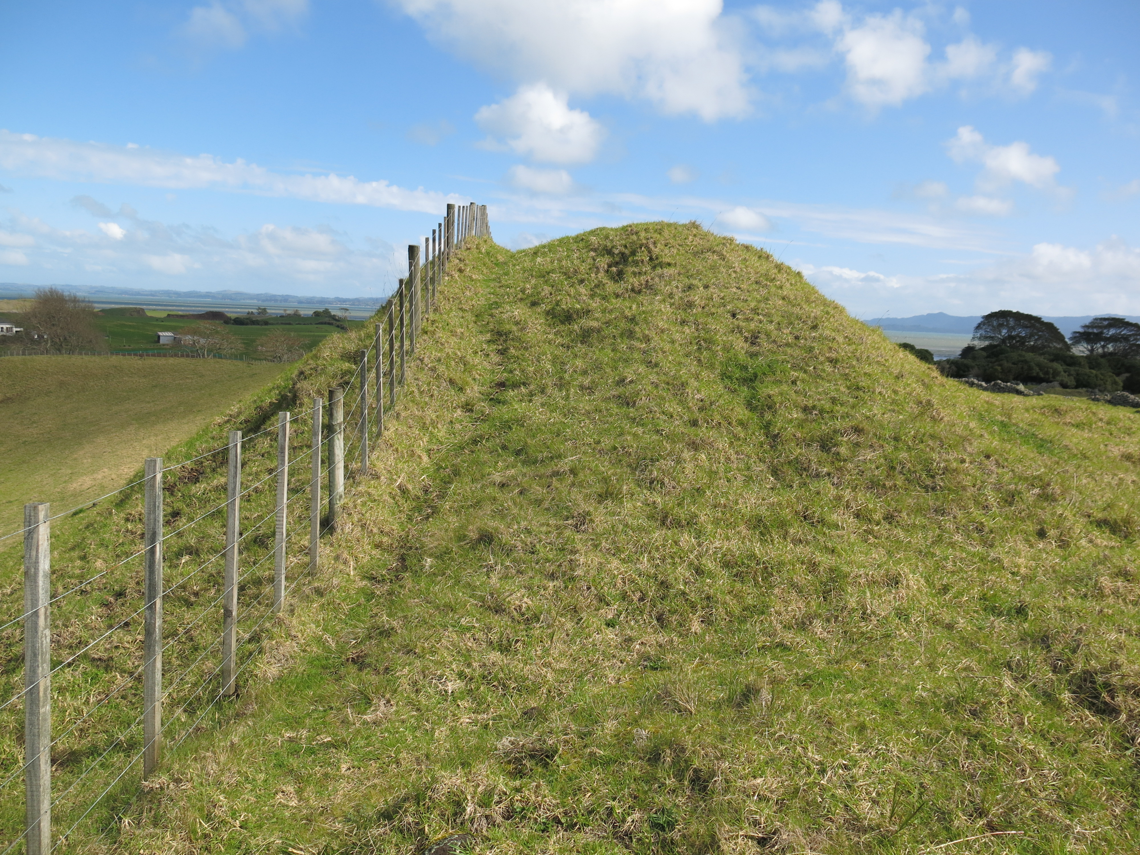
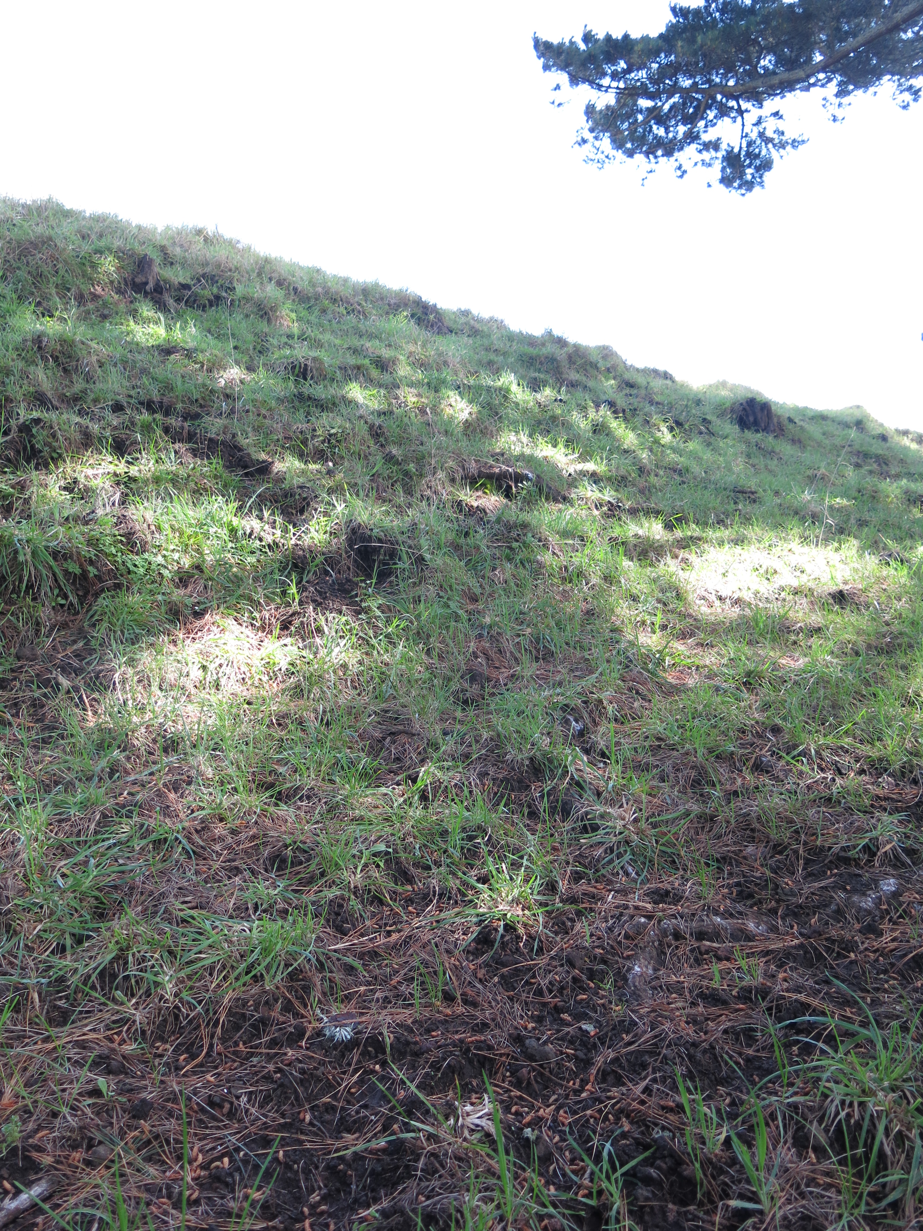
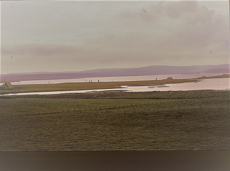
The relationship people had with water in both Britain and Irelands past can be seen as far back as the Neolithic. During this time people were beginning to make their mark on the landscape constructing sizable and (fairly) permanent monuments such as Stonehenge, Ness of Brodgar and New Grange. Such sites are usually part of a wider ‘sacred’ landscape, often surrounded by many other monuments of varying type and size but what is of interest to us here is their relationship to water. Thus the Stonehenge sacred landscape is bounded by the River Avon in the south and east, whilst New Grange and associated sites are nestled in what is known as the Bend in the Boyne (the river Boyne). The Ness of Brodgar, as well as a large number of other sites, in Orkney is situated on thin strip of land with the saltwater Loch of Stenness on one side and the freshwater Loch of Harry on the other. In this landscape there is very little to differentiate the water from the sky.
The reasons for the placement of such sites near rivers may never be fully understood but it is possible to say the symbolism is inherent but as Francis Pryor says in his book Britain BC (2003) “…it would be very easy to oversimplify our reading of that complex, layered symbolism that contained within it the shared histories of the people who created, nourished and guarded it. To say, for example, that water symbolised a soul’s journey to the next world is banal. It may have done – indeed it probably did – but it also marked boundaries in this world, and provided corridors along which people could move without crossing too many tribal frontiers.”
The Neolithic would have been a very alien world to our modern minds and trying to assess the symbolism of a natural phenomenon is fraught with numerous pitfalls. Regardless, it is important to take heed the role of waterways in Neolithic life. The lifestyle of the Neolithic would have been reasonably mobile, with people moving around the landscape following the seasons.
“Where people moved around the land, pathways between places would be emphasised, and monuments placed beside them. Given the scale of many Neolithic monuments, they may also have been placed at locales where groups were in closer proximity at certain times of the year.” (Barnatt J. ‘Monuments in the Landscape: Thoughts from the Peak’ Prehistoric Ritual and Religion. Eds. A Gibson and D. Simpson).
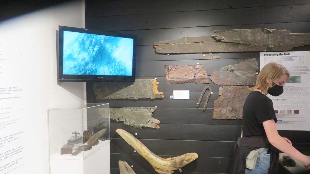
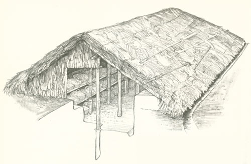
After the Neolithic we have the Bronze Age, a period heralded, as the name would suggest, by the appearance of metal objects (bronze, copper and gold) within the archaeological record. We also see an increasing (albeit gradual) degree of sedentary behaviour, with family type groups concentrating their activities at permanently laid out farms and fields. Many (but not all) of the monuments of the Bronze Age began to reflect this more localised behaviour with smaller monuments being built by these groups for their own use. The monuments are now found in all manner of landscapes and it would it appear that water is no longer of importance. However, excavations at sites such as Flag Fen, Lincolnshire and the finds from Duddington Loch, Edinburgh or the Rivers Thames, Trent or Witham to name a few all suggest that watery places were still of great ritual importance.
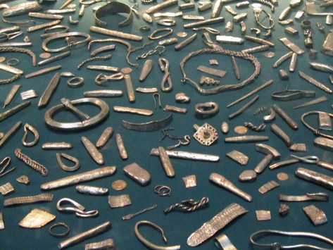
In the early days of discovery such finds were often attributed to accidental loss however the excavations at Flag Fen have seem to indicate the majority of the items deposited were done intentionally and with no desire to retrieve them. In 1984 Francis Pryor began excavating a post alignment at Flag Fen. It was 10m wide and consisted of five roughly parallel rows of posts. During the 1989 dig season the excavators began to find some unusual artefacts, some three hundred and twenty metal objects, mostly made of bronze and dating from the Bronze Age. Swords, daggers, jewellery, axe-heads, spearheads and pieces of a metal shield were amongst the artefacts uncovered. Interestingly every object had been deliberately damaged before being placed carefully into the water. The deliberate destruction of artefacts prior to deposition at Flag Fen is not an isolated example.
At Duddington Loch a number of bronze objects were found, mostly weapons, and once more all had been broken or burnt prior to deposition. Still in Scotland, Late Bronze Age swords were found in the River Tay and three Late Bronze Age shields were recovered from a bog in Yetholm, Roxburgshire. Another feature of Bronze Age deposition is its longevity, At Flag Fen and the bog sites of Ireland such as Dowris, Co. Offaly; Mooghaun, Co. Clare and the Bog of Cullen in Co. Tipperary deposition did not occur as a single event rather it was the result of many individual events over a number of years. In the case of the Irish bogs over two hundred bronze artefacts have been found, deposited over a number of years.

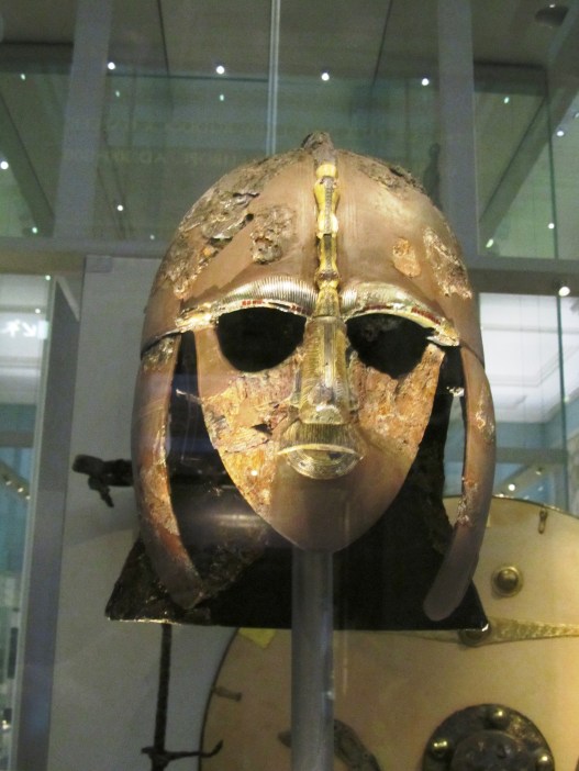
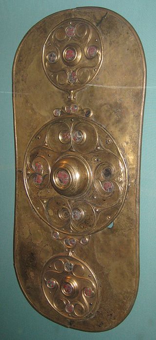
The tradition of deposition in watery places continues into the Iron Age. Still the weapons appear in rivers, for example, the Battersea Shield found in the River Thames, a horned helmet from under the Waterloo Bridge and the Witham Shield from the River Witham. An excavation at Fiskerton in Lincolnshire also discovered a causeway that led to Lindsey a significant patch of dry land which is essentially an island bounded by the rivers Humber and Trent to the north and east and the Witham and fens to the south. Here the archaeologists found swords, spearheads and other artefacts deposited into the wet ground. Interestingly it has been suggested that the deposits coincided with periods when the causeway was being rebuilt around the time of lunar eclipses.
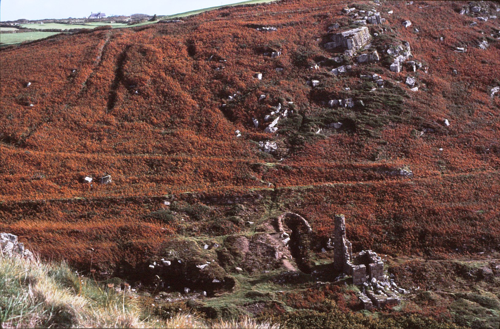
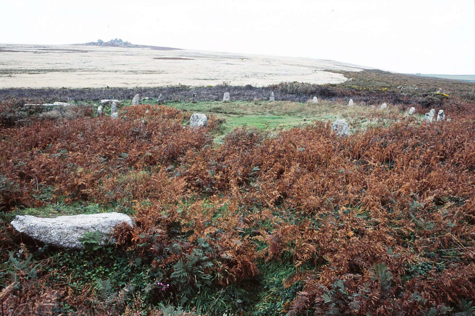
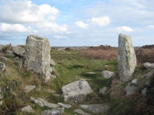
Similar to the Bronze Age, the bogs and lakes of the west seem to be the place of choice for ritual deposition. The most well known is Llyn Cerrig Bach (originally a lake) in Anglesey. From here some one hundred and fifty objects were recovered. The finds from Lylyn Cerrig Bach are regarded as the most important collection of La Tene style metalwork in Britain to be found. The artefacts found included two slave chains, swords, spearheads, a bronze trumpet, cauldrons, iron bars, blacksmith tools and animal bones. Once more all had been deliberately broken and deposited over a long period of time, approximately from 300BC to 100AD. In fact there may have been a double whammy of sacredness here, as it has been suggested that islands represented sacred spaces because they were bounded by water on all sides.
This connection between water and the deposition of weapons is embodied by the later legends of King Arthur. In Malory’s version King Arthur instructs Sir Bedivere “…take thou Excalibur, my good sword, and go with it to yonder waterside, and when thou comest there I charge thee throw my sword in that water”. For some this could be regarded as a cultural memory, a continuation of a ritual performed by our ancestors for many generations.

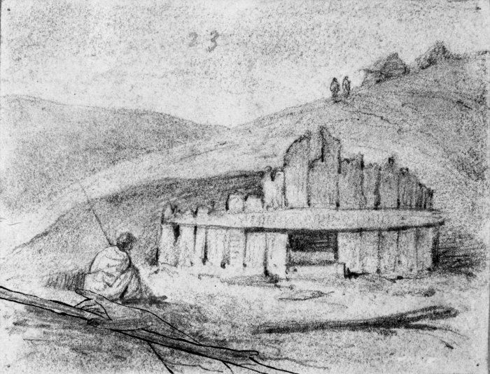
But it is not only lakes and rivers that were important there were also the peat bogs. Finds from peat bogs are of a relatively common occurrence given the use of peat for fuel. Of course the most famous of all bog deposits are the human bodies. Bog bodies are well known in several European contexts for example, Tollund Man found in a Danish bog. However, there are also examples from Germany, Holland, Norway and Sweden. The tradition goes right back to the Mesolithic and culminates in the Iron Age and early Roman period.
One of the most dramatic discoveries in Britain was that of ‘Lindow Man’ found in a peat bog at Lindow Moss in Cheshire. The remains were of a young male (mid 20s) who had been violently killed from a blow to his head, strangled and a cut to his throat. A detailed examination of the remains suggests he was of a high status. His teeth were healthy, his nails manicured and his beard and moustache neatly trimmed, in addition there were none of the usual signs on the bones that he had ever done any heavy manual labour. Radiocarbon dating has his death and deposition at somewhere in the mid first century AD.
Many reasons for such a grisly deposition have been put forth, from murder and violent robbery to human sacrifice. Sacrifice in the Iron Age was well known and took many forms either as the sacrifice of an object, an animal or a person.
“The Celts did not love their deities; they made contracts with them as they did in their own society. By making offerings into pits, wells, springs, peat bogs and all watery places, no doubt with the solemn attendant ritual, the druids were in fact ‘binding’ the gods into making reciprocal gifts to mankind…” (A Ross ‘Ritual and Druids’ in The Celtic World ed M Green).
It would seem that the greater the ‘ask’ the greater the sacrifice. The Lindow man was deposited at a time of turmoil in Britain, northern England was not properly subjugated by the Romans until well into the first century AD, perhaps he represents a last ditch attempt by the Druids asking for the Gods intervention? Perhaps his grisly death is a reflection of ‘destroying’ an object before it is deposited into its watery grave? Throughout Britan and Ireland there have been almost two hundred documented cases of bodies found in bogs. Not all are dated to the Iron Age and not all can be given a ritual explanation.
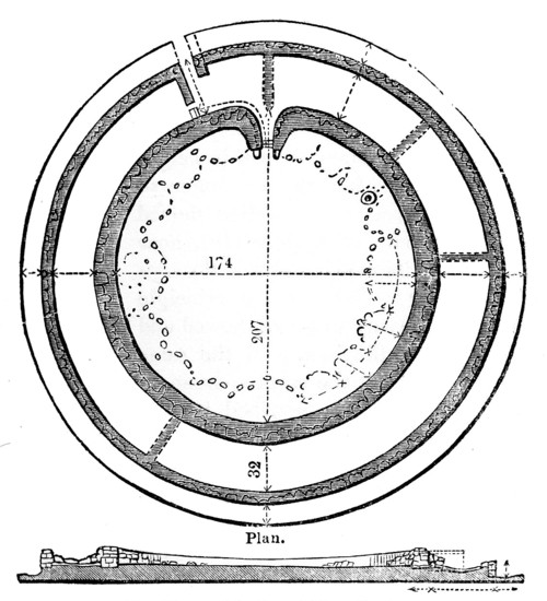
Any discussion on the sacredness of watery places needs to include springs and wells. Unfortunately, the majority of springs have been tampered with, cleared out and utilised to such a degree in our history the evidence is very sparse indeed. Some prehistoric sites are associated with springs through proximity such as Swallowhead springs which is near the Neolithic monuments of Silbury Hill and West Kennet long barrow. However, the best preserved piece of evidence comes from the town of Bath. Here we have the very famous Roman baths based around the springs dedicated to the goddess Sulis Minerva. The impressive complex of baths and temples built by the Romans began some fifteen years after the Boudiccan rebellion. It does seem this was an attempt to do honour to a local deity – Sulis – by aligning it with one of the more significant Roman deities – Minerva. It is well recorded by the Romans the importance of this site to the local people. Thousands of coins of both Roman and Celtic type have been found in or near the hot springs in addition to many curse tablets of a Roman date.
This tradition of offerings to a spring or well continues into the modern day. Throwing a coin into a well to make a wish is a common practice as is the tradition of well dressing. Every summer throughout the counties of Britain wells are cleaned up and made pretty. The longevity of this practice is well attested, in 960 a canon was issued that expressly forbade the ‘worship of fountains’ and yet it could not be suppressed, eventually the church turned these pagan sites into Christian holy wells. In some cases the well or spring has a special tree nearby, a Clootie tree. The clootie is a piece of cloth that has been dipped in the spring’s water and then tied to the tree, after which a supplication is given to the saint or deity of the spring. Many of these springs are associated with healing, in some cases the clootie represents the ailment and it is believed that once it has perished then so will the ailment.


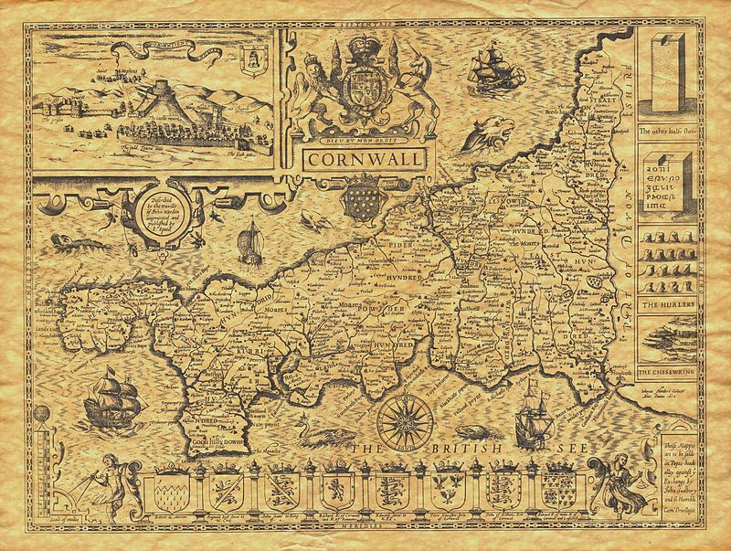
Furthermore it is not unusual for a church to be built near a sacred spring or well such as St Oswalds in Cumbria or at Golant in Cornwall. Some have even embraced the sacred well as is the case for St Winefride’s well in Holywell, Wales. In fact the overall sanctity continues well into the Christian era, monasteries can be found on islands (St Michael’s Mount or Lindisfarne) and many other Christian religious houses are situated close to rivers.

This article merely scratches the surface but from reading and research it soon becomes apparent that water in all its forms has played a major role in the history and prehistory of our world. It has defined where we live and it has defined how we live, indeed if we live at all. That our ancestors’ revered water should be of no surprise to us and yet often it is.
“Water is life’s mater and matrix, mother and medium. There is no life without water.” Albert Szent-Gyorgi
“Nothing is weaker than water, yet for overcoming what is hard and strong, nothing surpasses it.” Lao Tzu
A recent interesting blog from the British Museum which talks about the Thames – “Secrets of the Thames”.