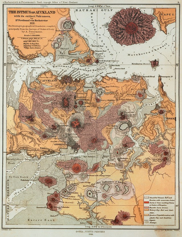
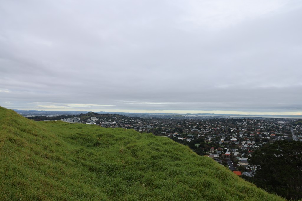
Perhaps one of the most dominant and much-loved landscape features of Tamaki Makaurau Auckland are the remains of long dead volcanoes. Fifty-three volcanoes have erupted in the Auckland area over many millennia (the most recent being Rangitoto), some exist in today’s landscape as basins or form lakes and many have been quarried away for stone used in the construction of roads and building, or to simply make room for the ever-developing city.
“For hundred of years, these volcanoes have played a key part in the lives of Māori and Pākehā – as sites for Māori pā and 20th century military fortifications, as kūmara gardens and parks, as sources of water and stone.” (B.Hayward ‘Volcanoes of Auckland’ 2019).
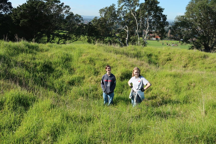
As an archaeologist my interest in the upstanding cones of Auckland’s past volcanoes relate to the features found on and near their slopes, to this extent with the company of the dog, the other half and one of the teens, it was decided to explore those we had seen from a distance as we zipped up and down the motorway.
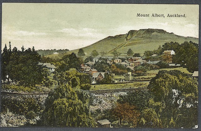
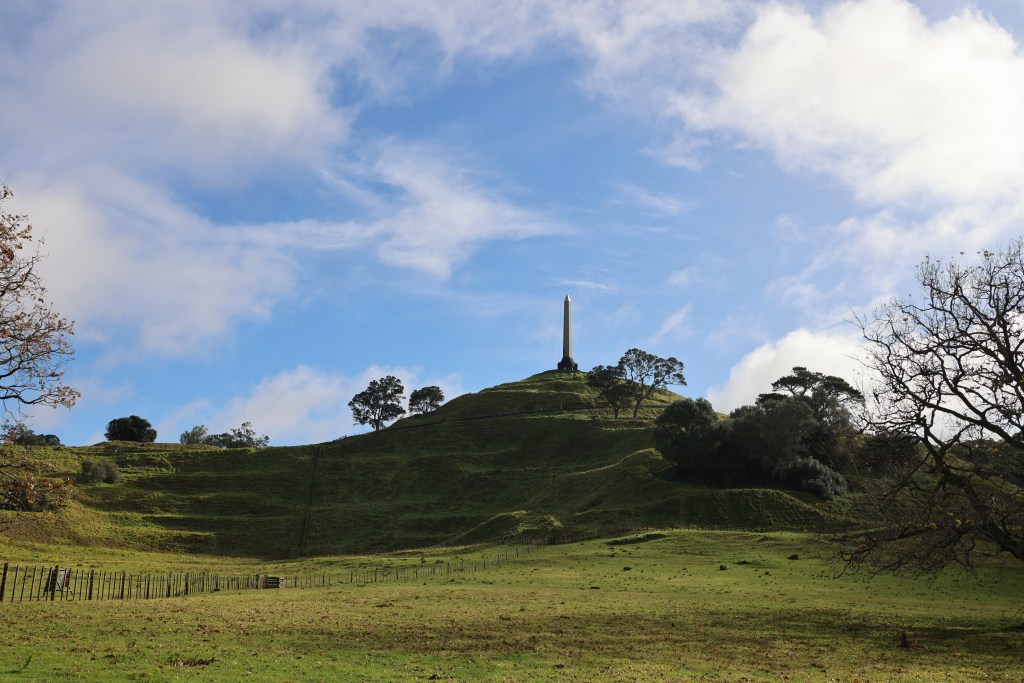
The four largest maunga (mountains/volcanic cones) in Auckland are Maungarei (Mt Wellington), Maungakiekie (One Tree Hill), Maungawhau (Mt Eden) and Mangere. Today’s visitor to these places may have a skewed view of the maunga, seeing them standing alone within a landscape of roads, housing developments and shopping centers. This was of course not always the case, using archaeology it is possible to strip back the layers of modern city life to see into the past. It is equally important to understand that the maunga were not static occupation sites. There were many changes over time, what we see today is simply the last phase of occupation. One of the most common assumption about all of Aucklands upstanding volcanic cones are that they were solely used for defence in times of upheaval. The common name for this type of site with its banks and ditches is pā – a Māori fortification which in turn has resulted in other misconceptions that will be touched upon below.
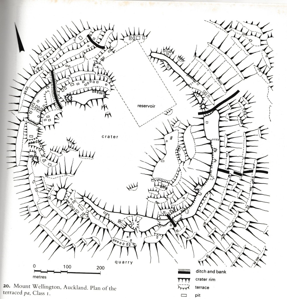
It is also important to know that remarkably little archaeological excavation work has been done on the maunga of Auckland. The most well known was the series of excavations done on Maungarei between 1960 and 1972 ahead of several developments (installation of water tank and road access).
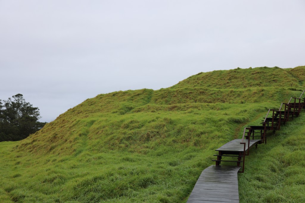
As mentioned above, a pā is seen as any type of settlement which has been fortified, their defining features are the banks and ditches surrounding an area of landscape. Situated mainly on hills, spurs and headlands (but not always, such as the ‘swamp pā’ found in the Waikato), there are some five thousand known pā in New Zealand, of which, the majority are found in areas good for horticulture. Other features can include, pits, terraces and house platforms.
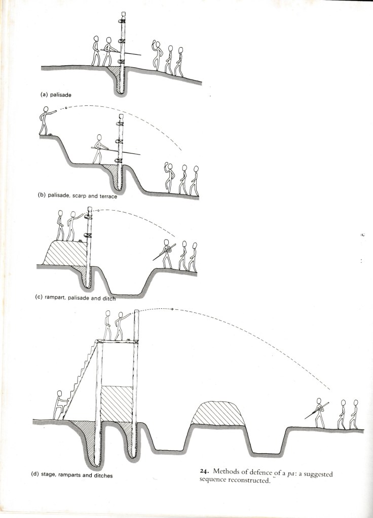
The above diagram is from A Fox (1976) ‘Prehistoric Maori Fortifications in the North Island of New Zealand’ depicting the variety of methods used in defence of a pā.
It is perhaps a mistake to assign a singular function to pā – they were used as places of refuge but they were also places were people lived (although not always and in some cases never), where they stored important food and water supplies; they could also be focal points for religious activity. The palisades and ditches were just as likely to be a symbolic boundary separating a sacred area from the everyday, then a fortification built during times of war.
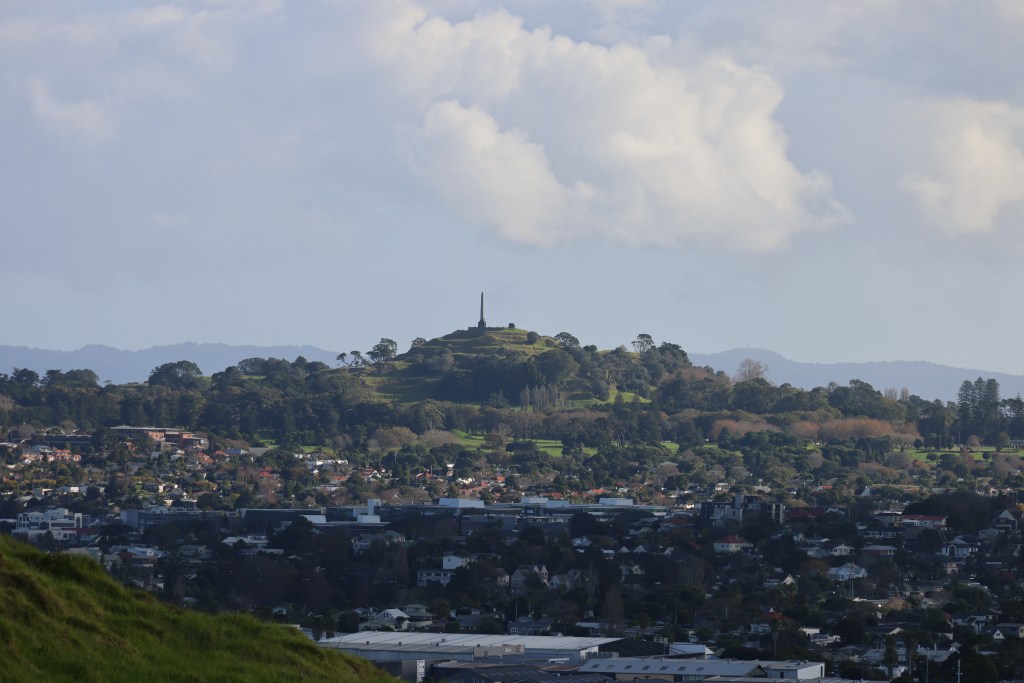
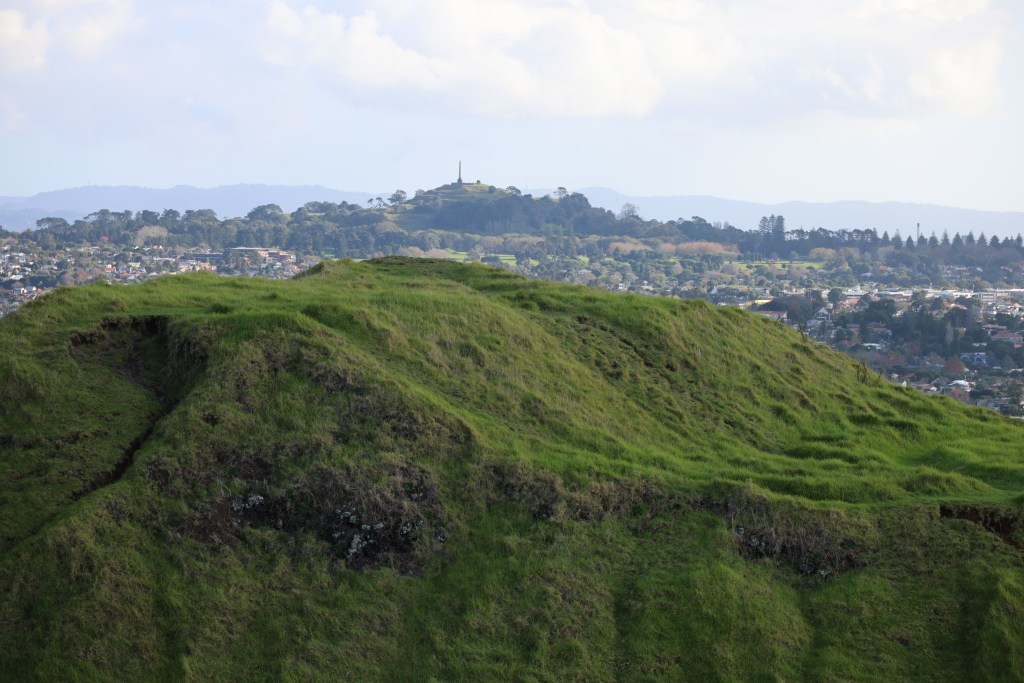
Maungakiekie (One Tree Hill) has four heavily defended summits but at its the very highest point there is an area which is regarded as important and sacred. Called Te Totara-i-ahua after the sacred lone tōtara that grew there in pre-European times (see earlier post) and it has the greatest amount of defenses surrounding it.
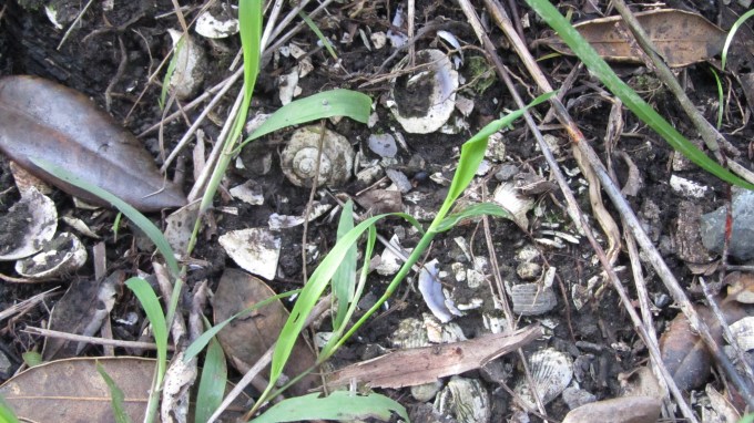
One of the most common features found at many pā including the maunga of Auckland are the storage pits. Unlike the ancestral tropical home of the Māori where important food staples could be grown all year round, Aotearoa’s more temperate climate required some lateral thinking by New Zealand’s first people.
Storage pits enable kumara tubers to be stored in conditions that protected them from extremes of temperature both for future planting and consumption. There are several types of storage pits – rua are small cave like structures that are dug into the ground and sealed with a wooden door. The type which is most obvious on Auckland’s maunga are the large rectangular storage pits dug into an area and topped with a pitched roof. Depending on the size the roof was supported by either a single line of central posts or a double line of posts. Other features within the storage pit itself include drainage channels that led to one corner of the structure and a sump – an important feature in Aotearoa’s rainy climate.
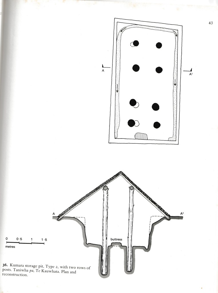
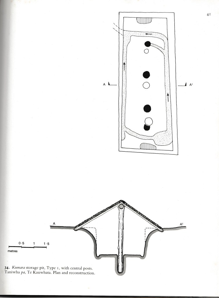
The above are from Fox A (1976) ‘Prehistoric Maori Fortifications in the North Island of New Zealand’ and show the two types of storage pits commonly seen on the maunga of Auckland.
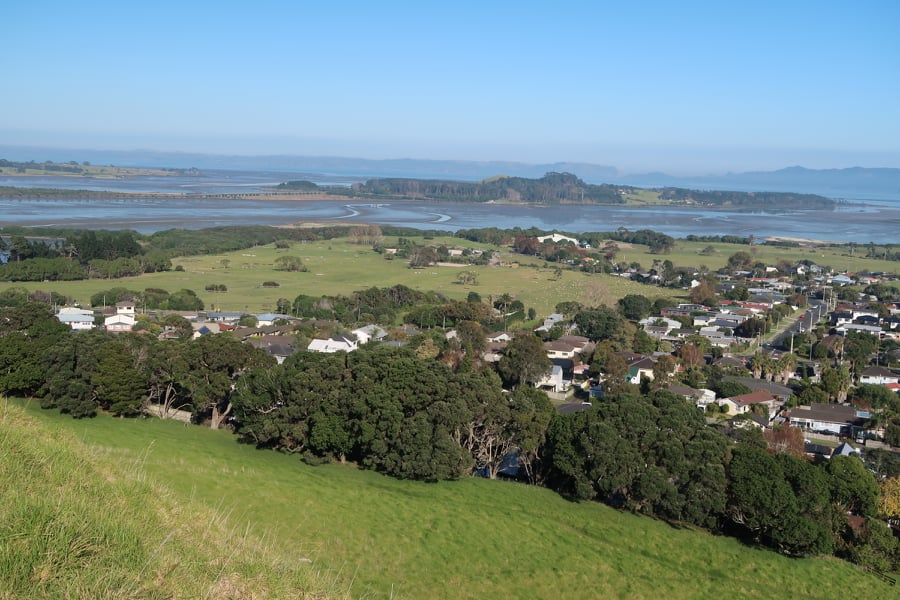
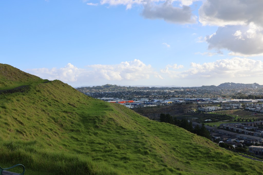
As mentioned before the maunga of Auckland existed within a landscape dotted with settlements and gardens. The fertile volcanic soils surrounding the maunga providing a perfect growing medium for kumara and later the potatoe. This combined with the easy access to other natural resources such as fish and shellfish from the nearby harbours east and west of the central maunga made the isthmus a desirable to place to live where resources were plentiful.
“The prospect from the summit is grand and nobly pleasing, I observed twenty villages in the valley below, and, with a single glance, beheld the largest portionn of cultivated land I had ever met in one place in New Zealand.” From Reverend John Butler – travelling with Samuel Marsden in 1820 as he climbed the summit of Maungarei.
The excavations of Maungarei produced radiocarbon dates for the earliest occupation on the lower slopes to the early 1500s. The period from the mid 1500s to the late 1600s was a time of intensive use. But after 1700 Maungarei does not feature in oral accounts of Māori history and was perhaps no longer an important place. The archaeology suggests that it was the two high points which were the most densely protected (tihi) by palisades and ditches. The lower terraces providing evidence of structures (postholes), hearths, fire scoops, midden deposits and storage pits.
“Maungarei was thus the location of repeated settlements, which were sometimes fortified, particularly late in the sequence, but often not.” From J Davidson (2011) ‘Archaeological investigations at Maungarei: A large Māori settlement on a volcanic cone in Auckland, New Zealand’ Tuhinga 22 Te Papa.
Increasingly, archaeological studies are showing that the pā as a site was a late feature of the landscape, dating from the 1500s onwards, not all were in use at the same time and not all functioned in the same way. This would appear to be the case for Tamaki Makaurau Auckland as well. For a long time it has been assumed that the widespread presence of pā in Auckland has meant that the area was in a constant state of flux.
“…Tamaki, in the years of Waiohua ascendency, was one of the most settled and extensively cultivated regions in Aotearoa…in spite of the received wisdom of historians to the contrary, was the the fact that tribes enjoyed long periods of relative peace.” From R C J Stone (2001) ‘From Tamaki-makau-rau to Auckland’ Auckland University Press.
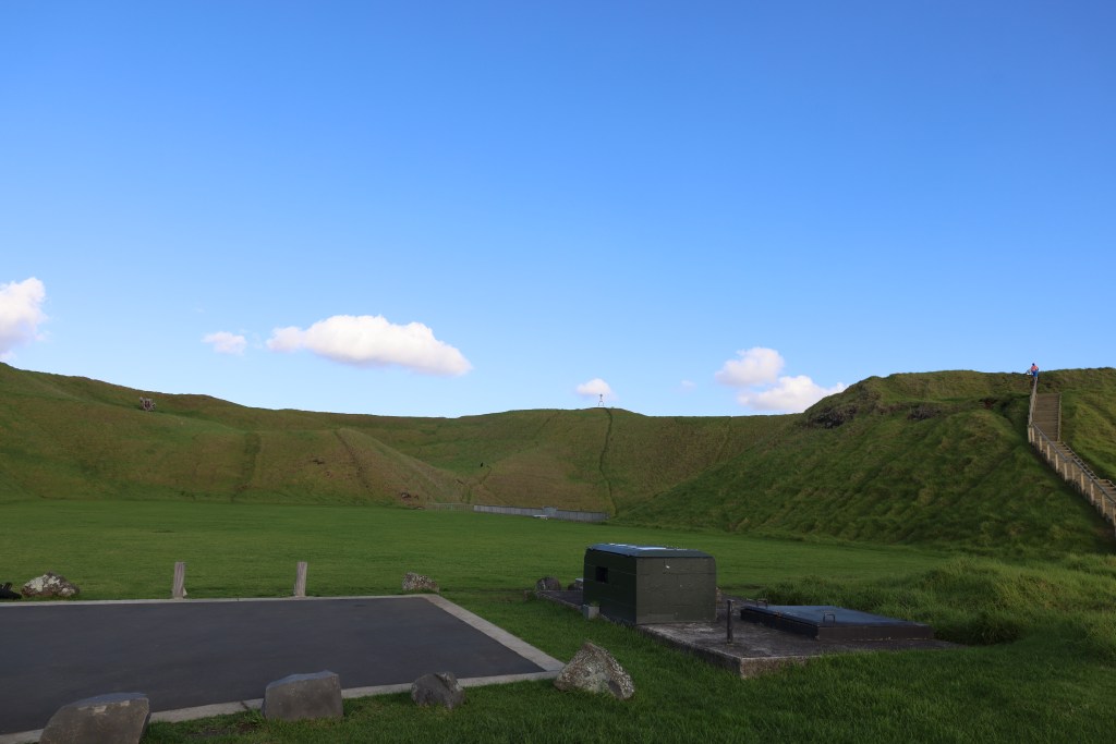
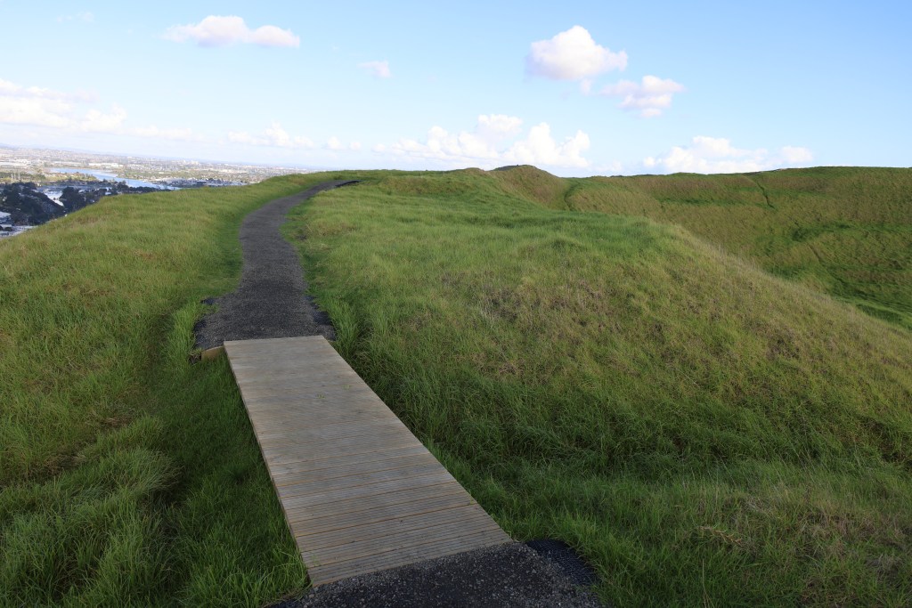
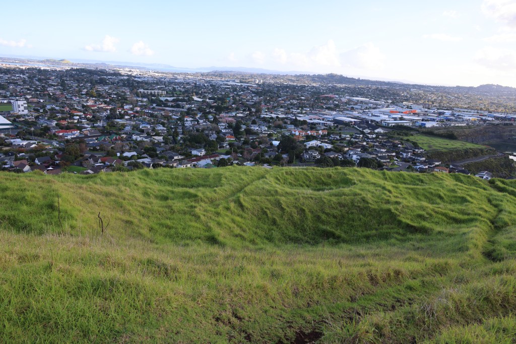
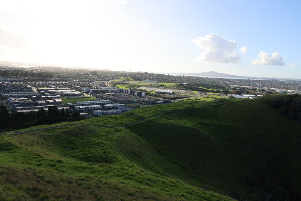
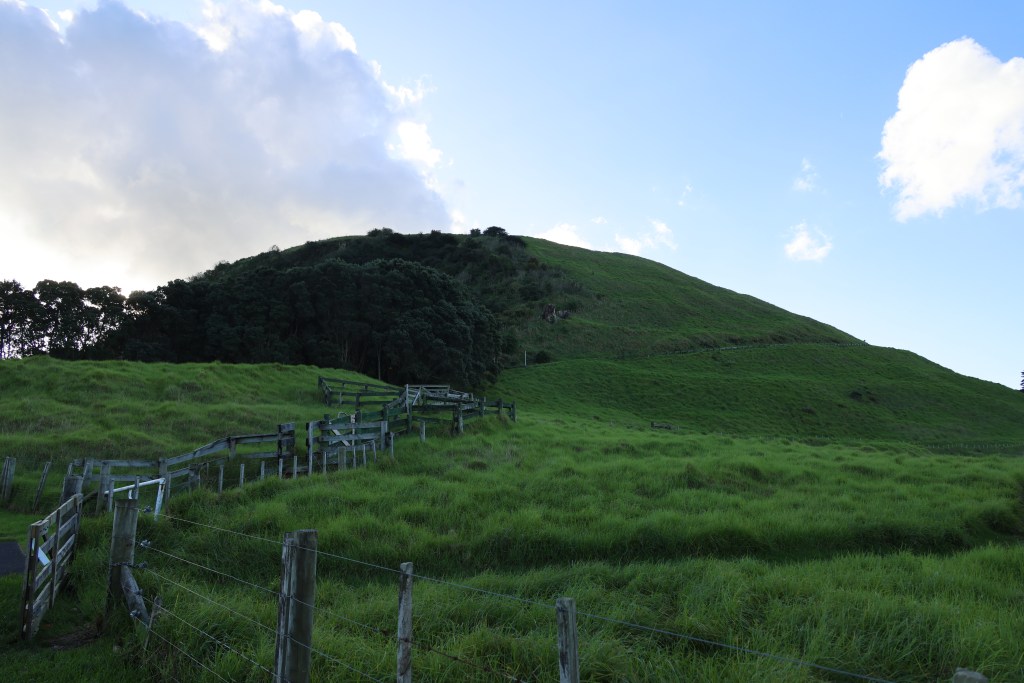
Another of the common features of the maunga are the areas of flat ground surrounding cones. These terraces were used as places for living (some have house platforms), as places for storage pits and as places for gardens.
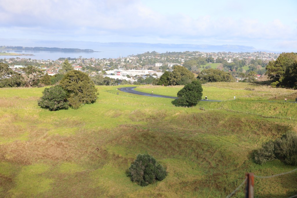
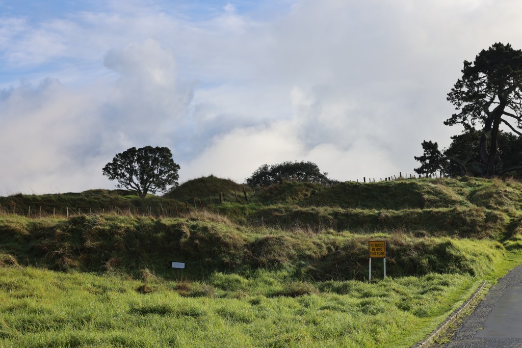
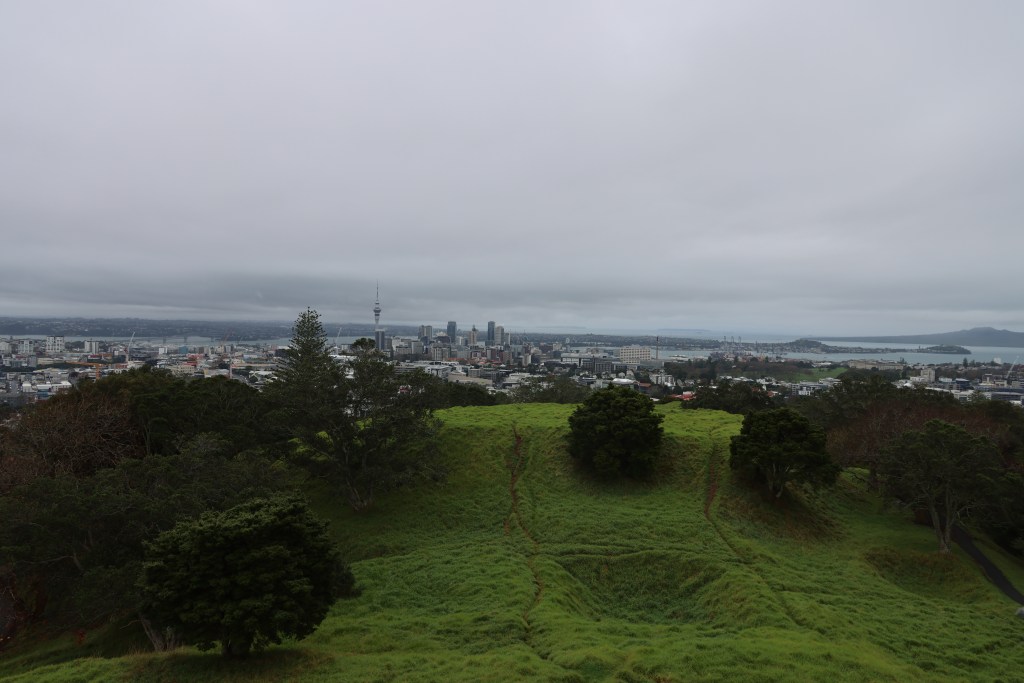
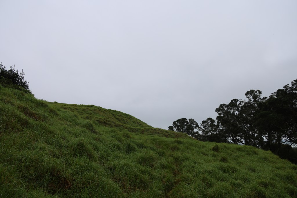
The above slideshow shows a fraction of the terraces that can be found on any given maunga in Auckland. These examples are from Maungakiekie, Mangere, Maungarei and Maungawhau.
But this is not to say that pā were never used for defence, the banks, ditches and palisades would suggest otherwise. Instead it is suggested that a more balanced view be taken when interpreting such places. Understanding that what we see in the landscape is but the final stage of a long and often complicated history – the evidence from the excavations at Maungarei are a good example of this.