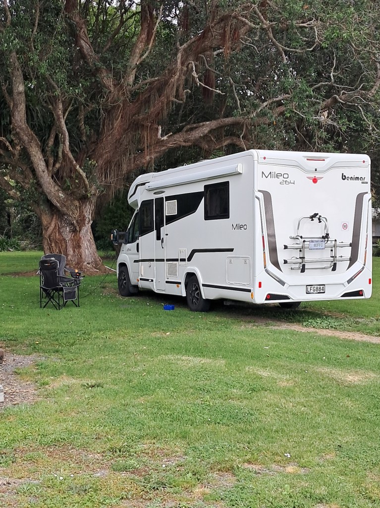
One of the great traditions in New Zealand is the ‘roadie’ – the road trip. As a country whose nearest neighbours are a minimum of a three-hour flight away it has always been considered a must do to explore our own backyard. Something we as a family have endeavored to do, even more so now we have ‘Miffo’ the motorhome. Recently we decided to take a week to explore the beautiful East Cape, an area we had yet to visit.
Our journey began as it always does with the husband being impatient and wanting to leave at the crack of dawn…the dog and I objected and we compromised – we left a short while after the crack of dawn. The drive from Auckland to Ohope Beach, our starting point, was predictable, much of the road was one we had travelled before. There was a brief stop in Katikati for a visit to the farmers market where we bought honey and we got slightly turned around when himself decided he did not want to pay the toll on the Tauranga East road. It was not a huge sum but sometimes it is very hard to get a Cornishman to part with his money. Apparently, it was the ‘principle’…eventually after a bit of swearing we found the free route.
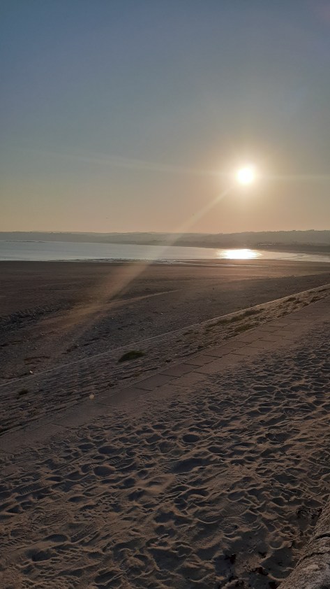
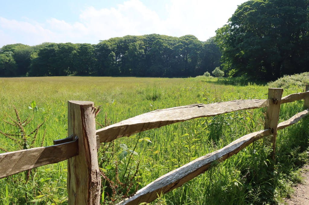
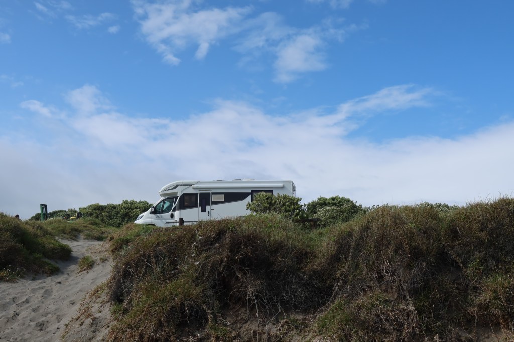
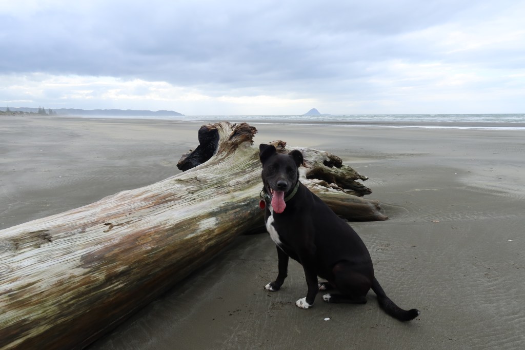
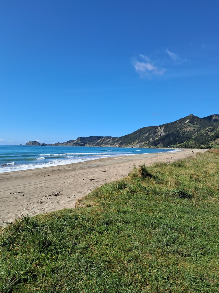
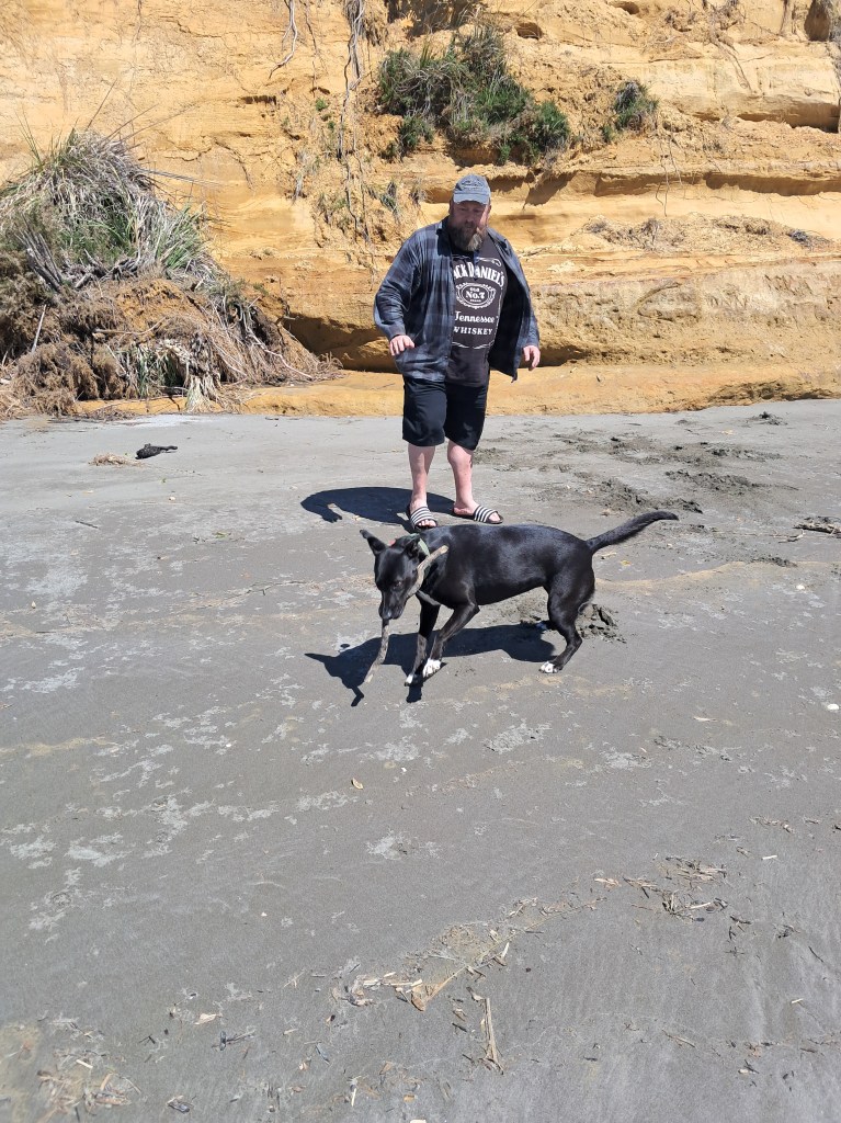
Our first night as mentioned was at Ohope Beach at the freedom camp at the far end of the harbour. Unsurprisingly, it was a popular spot being on the water and quiet. There was a typical husband moment where he lost his phone down one of the side panels in the sleeping area, it was eventually retrieved amidst much swearing and after borrowing a screwdriver (note to self – bring toolbox next time) from a neighbour so I could surgically retrieve said phone. After all that excitement we took a pre-dinner stroll across the dunes to the surf beach and for an Aucklander it was fabulous to have a beach as beautiful as this one to ourselves. The dog found what was to be the first of many sticks…
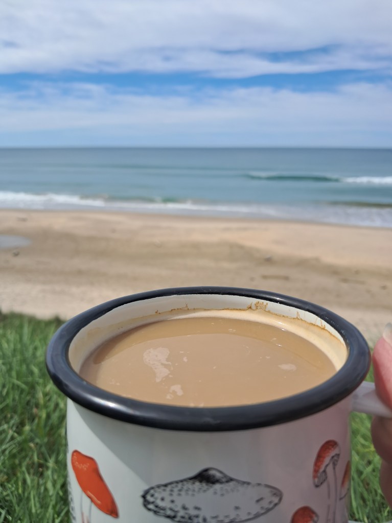
Day two started with the necessary walk and stick throwing for the dog, followed by a mercy mission into Whakatane. The husband had a footwear malfunction and required a new pair – hello Whakatane Warehouse! But it did enable me to purchase the necessary fridge magnets for our collection. After this short side quest we were on our way properly, our target for tonight’s camp was Te Kaha. Along the way, we had a few stops at some lovely beaches (the dog was happy, more sticks!). We arrived at Te Kaha at around lunch time and after some food and a cup of coffee and wee womble on the beach we decided to motor on to Waihau Bay. One of the joys of having a motorhome is the flexibility it offers, sometimes plans change and with our home on wheels we can go with the flow.
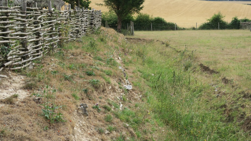
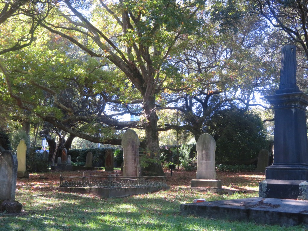
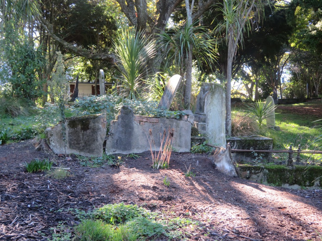
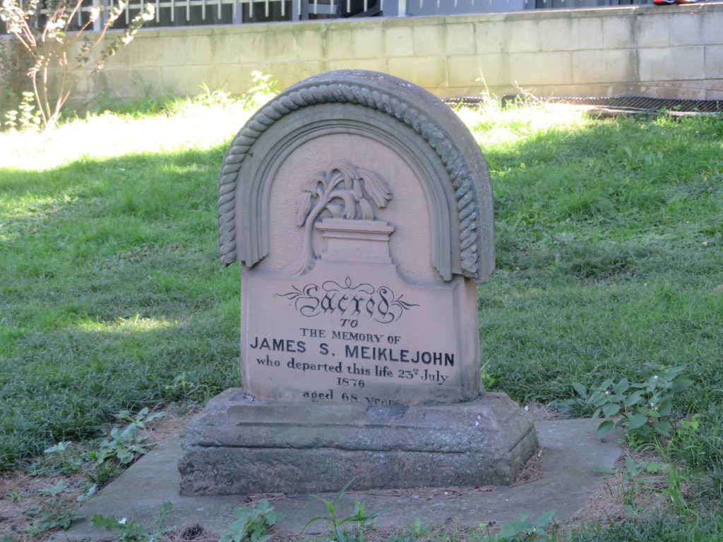
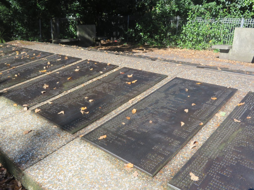
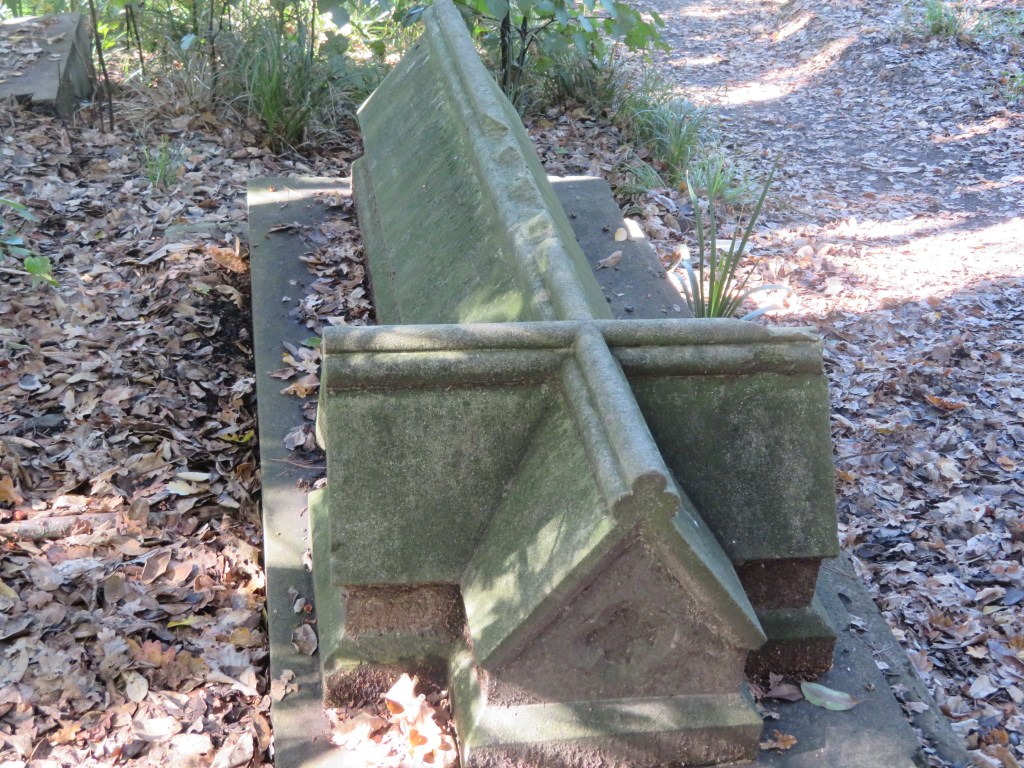
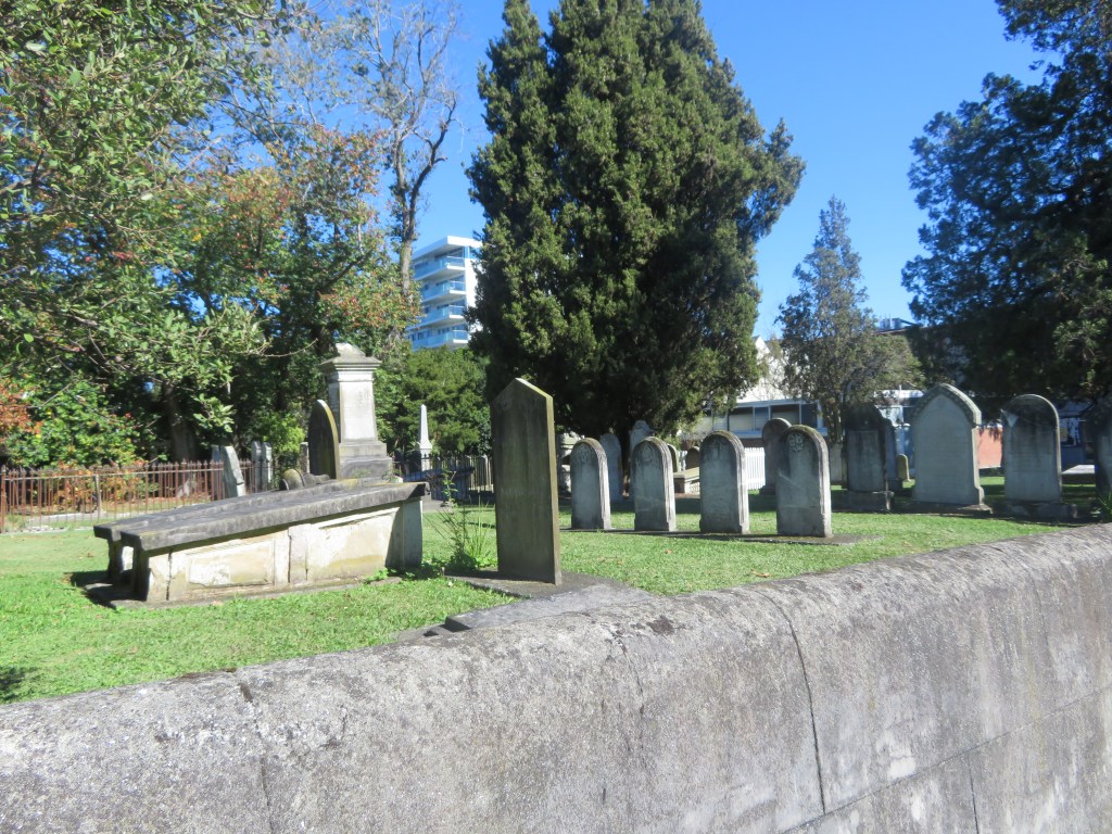
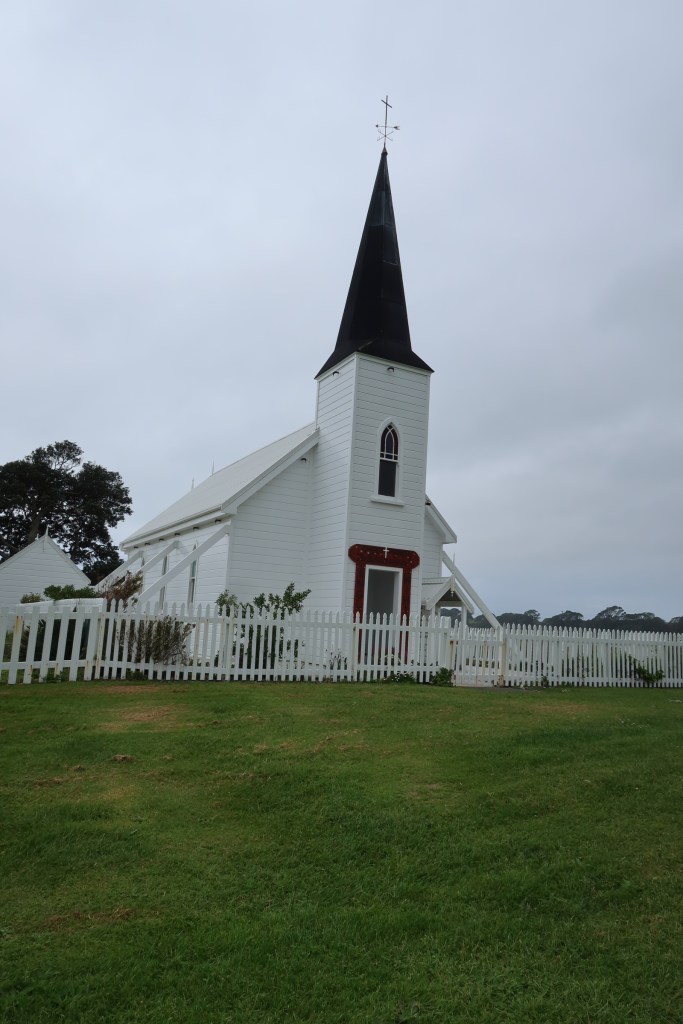
Before we reached Waihau Bay we stopped to admire the Kokorore Church. Perhaps one of the prettiest churches I have seen in New Zealand, perched on a small peninsula with its tall wooden spire, it is certainly eye catching. Visiting the small urupa (cemetary) at the rear of the church, it was clear that this was a family church with several names dominating the headstones. I was particularly touched to see the names of three young lads who I presumed to be brothers, who died in an accident in the late 80s. Such young lives to be cut so short, who might they have become, what might they have achieved. With a son the same age I could only imagine their family’s heartache.
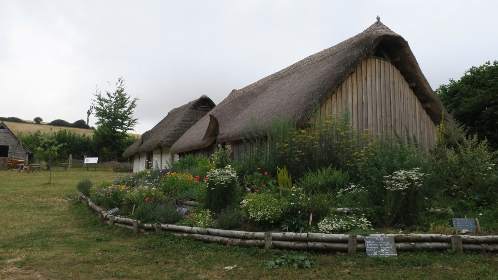
Arriving at the campsite in Waihau Bay we were greeted by the friendly hosts and showed to spot under an old puriri tree. The campsite itself was perhaps a little dated but for the money was perfectly acceptable. It was situated on the main road but to be honest that was not a problem, I think we had a ‘rush hour’ the next morning around 8am where about half a dozen cars and two school buses went past. On the other side of the road was the beach and yes you guessed it more sticks for the dog!

Day three – we woke up to rain and when I attempted to take the dog for a walk on the beach promptly discovered how well the dunes protected the campsite – it was far windier and rainier than anticipated and was a walk cut short – even the dog was happy to leave the beach. An hour up the road and we stopped at the general store in Hicks Bay, a coffee for myself and what was to be the first of many pies for the Cornishman. The pie is worth a mention here, as it was a Ruatoria pie (Ruatoria is an East Cape town and thus this was a locally produced pie). The husband is always on the lookout for locally produced foodstuffs. His verdict on the pie (steak and cheese) was excellent, apparently, they had used proper cheese (not the fake stuff many pie producers use). I am an awful kiwi, not being a fan of ‘the pie’, so it is good that the husband makes up for my shortcomings.
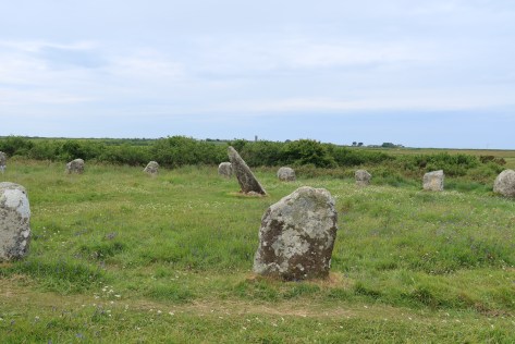
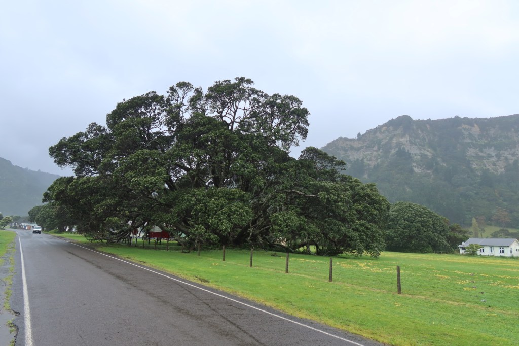
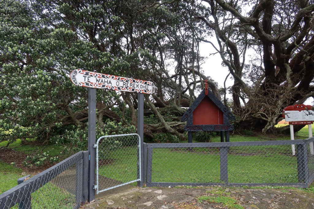
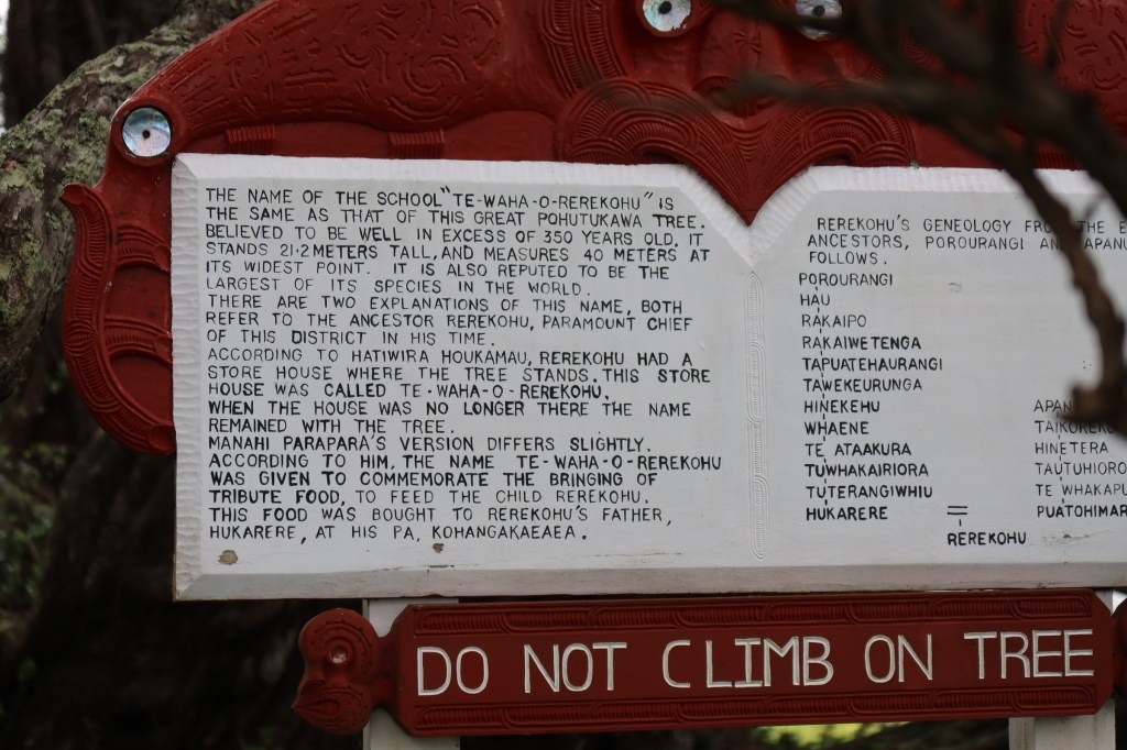
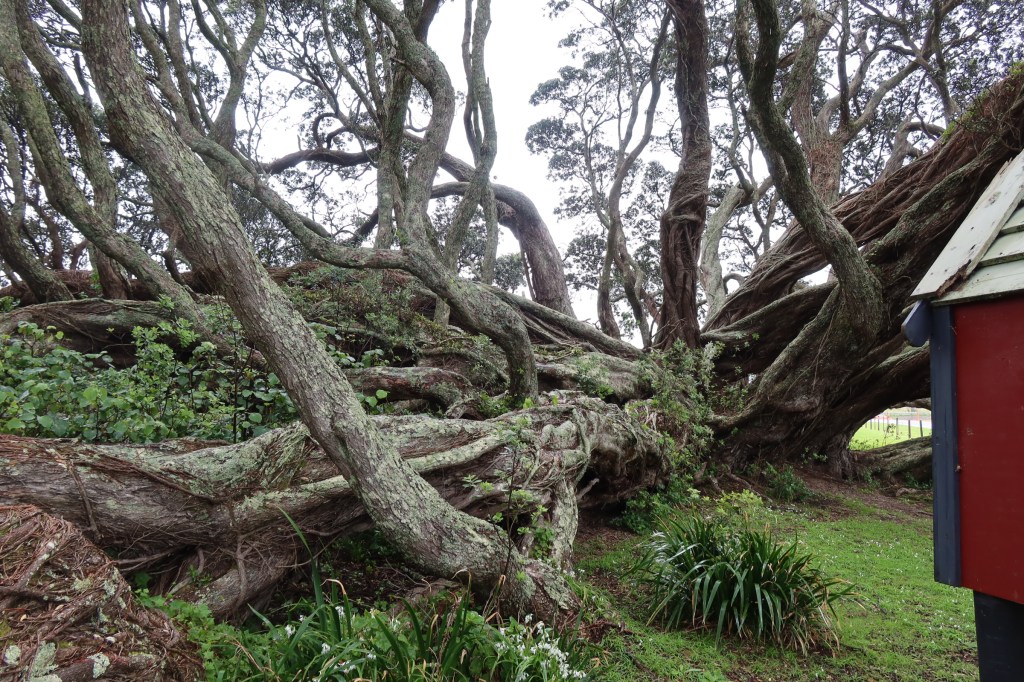
Not long after this we arrived in Te Araroa where we paid our respects to the country’s largest and reputedly oldest pohutakawa. Spent a short time communing with this ancient tree (350yrs approx.), even the husband was in awe and gave it a wee hug. I’ll make him a tree hugger yet…As I stared up and around at its twisted branches, I could only wonder what events that tree had witnessed. It was probably a only a sapling when Cook sailed past. It would be fabulous to do this trip in the summer when all the pohutakawa are in bloom – stunning!
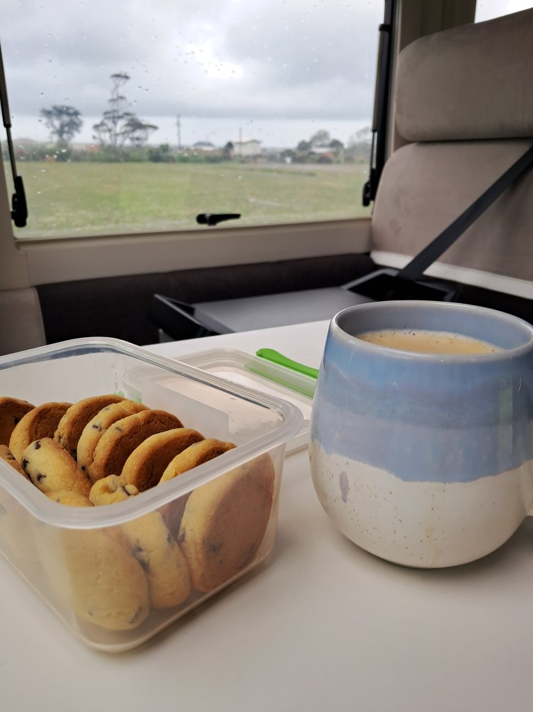
It had been our intention to spend the night at the East Cape Campground, but the rain and the wind hadn’t eased and was predicted to continue for the rest of the day. After a bit of discussion, we decided it was safer and ultimately more pleasant to wait out the rain in Te Araroa where there was an NZMCA park up area. The afternoon stretched out in front of us. Someone took a nap and so did the dog, I read, drank tea and ate biscuits.
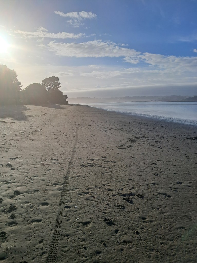
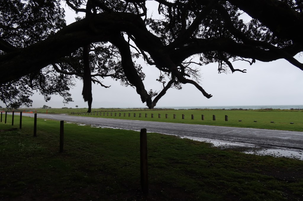
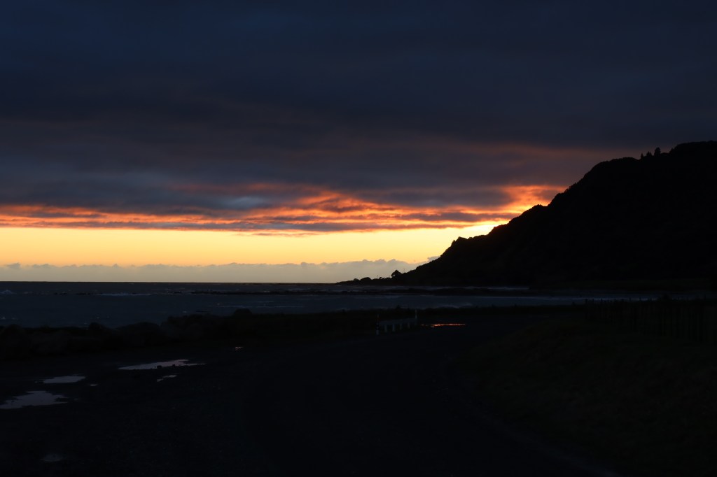
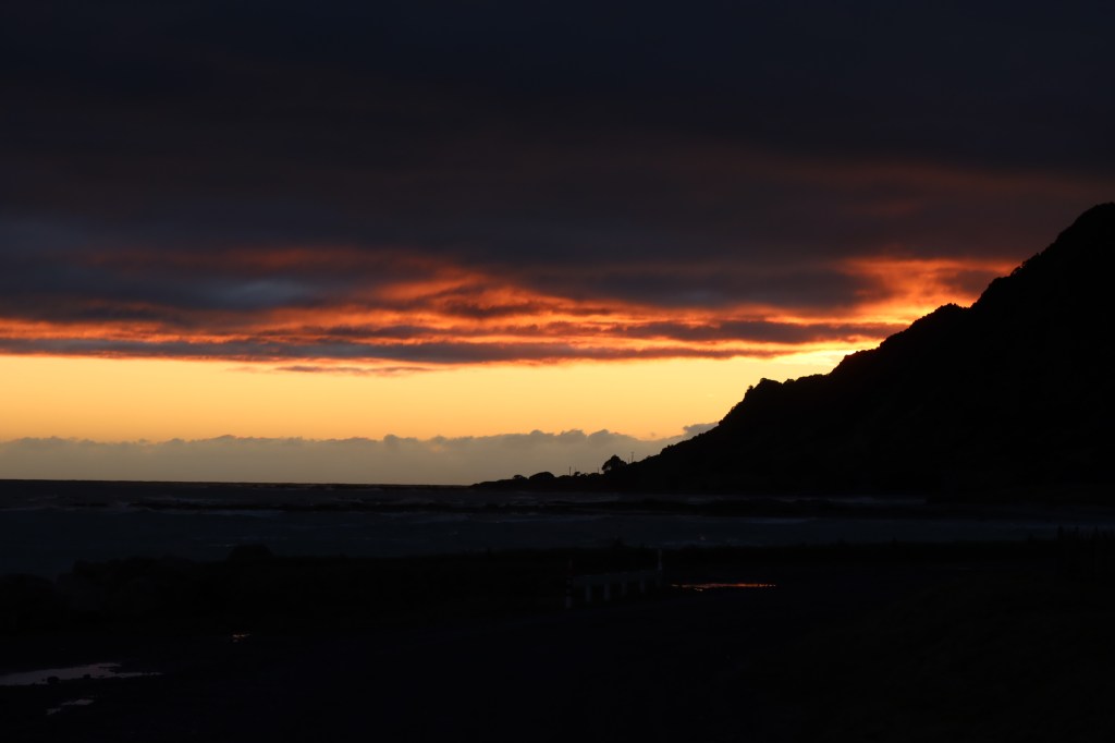
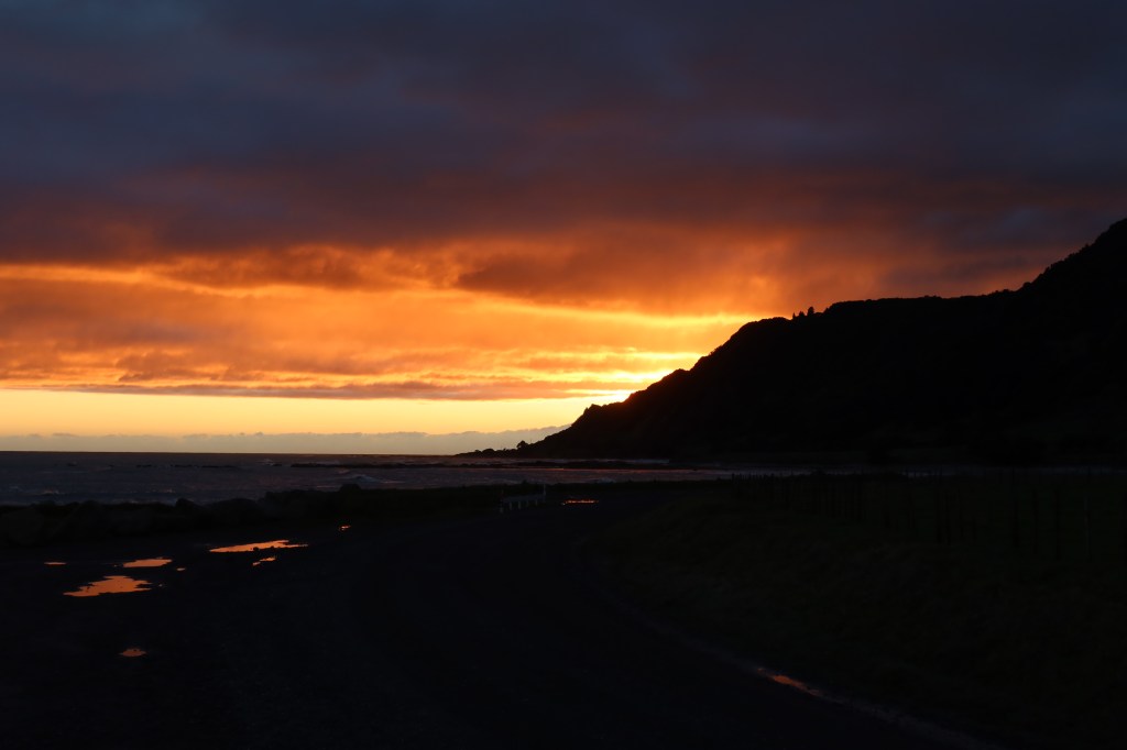
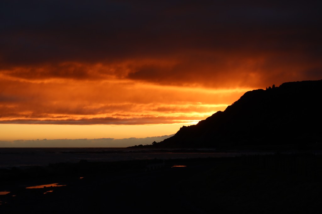
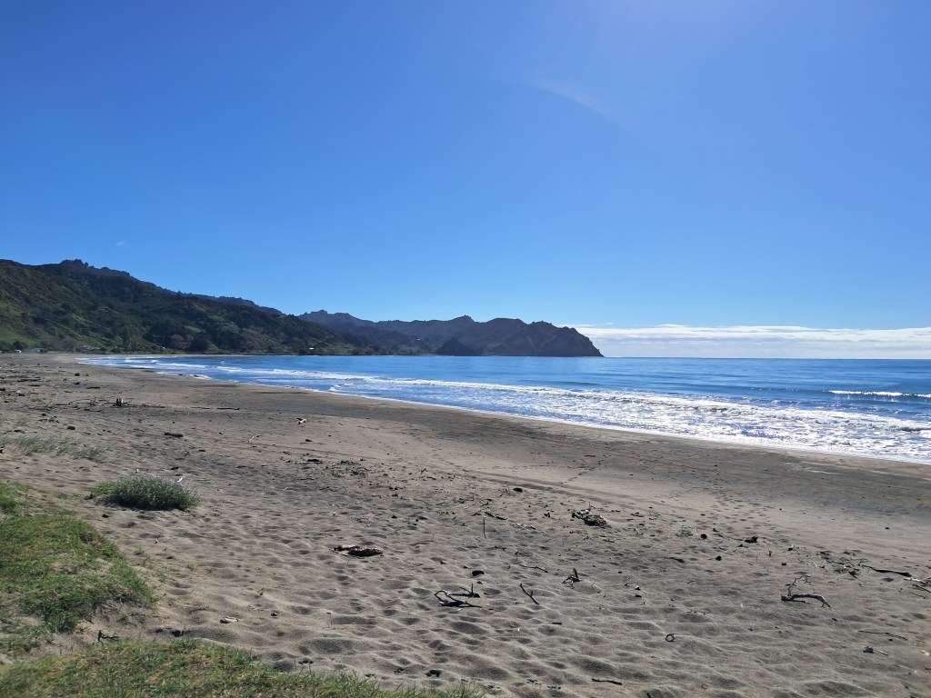
Day four – was awoken rudely by the husband who felt we should make an effort to see the sunrise. After a short drive along the dirt road that leads to the most easterly point (with me still in my pjs) we found a spot to park up. Turns out it was one of his better ideas…the East Cape is the first place in Aotearoa New Zealand to see the sunrise. It was stunning after all the rain the day before and we ate breakfast watching the morning begin in all its glorious colour. Once dressed and ready to face the rest of the day we then headed off, our final destination for the day would be Tatapouri.
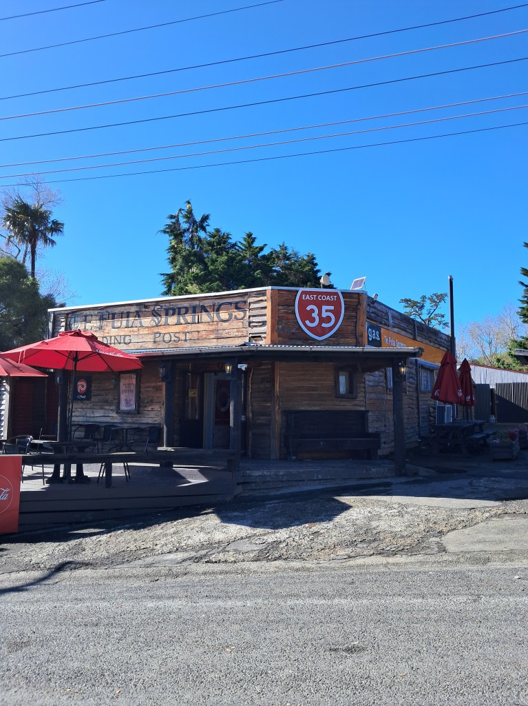
Along the way we stopped briefly at Te Puia Springs general store, the husband bought a pie. This time it was pork belly, he initially did not hold out much hope for the pie. He literally at his words, it was excellent!
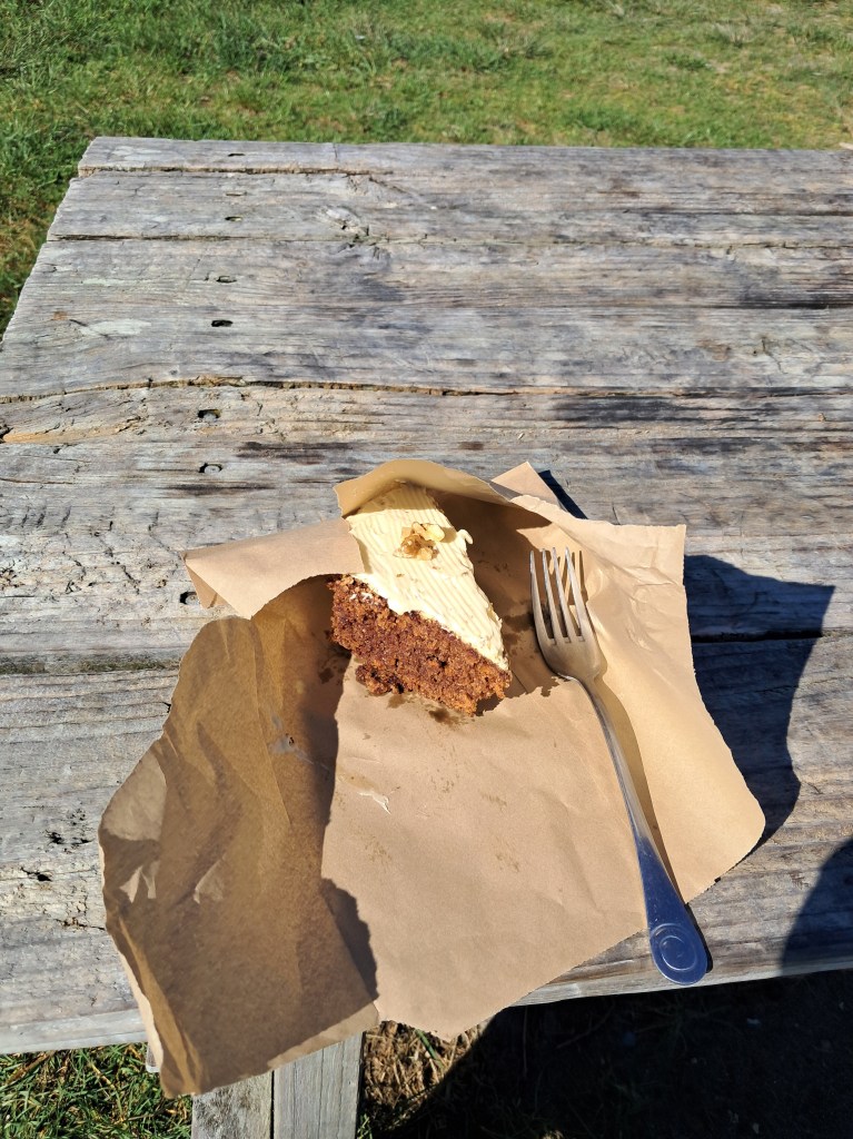
Our next stop was Tokomaru Bay where we stopped at Cafe 35 for you guessed it, another pie (I had a slice of lovely carrot cake). This time the pie was their world famous paua pie and it was apparently so good he had to go back and get another one for the freezer (as well as a pork belly pie for the freezer). The owners of the Cafe 35 make all their own pies and feature in book on Aotearoa New Zealand’s best pies – yes, we own a copy.
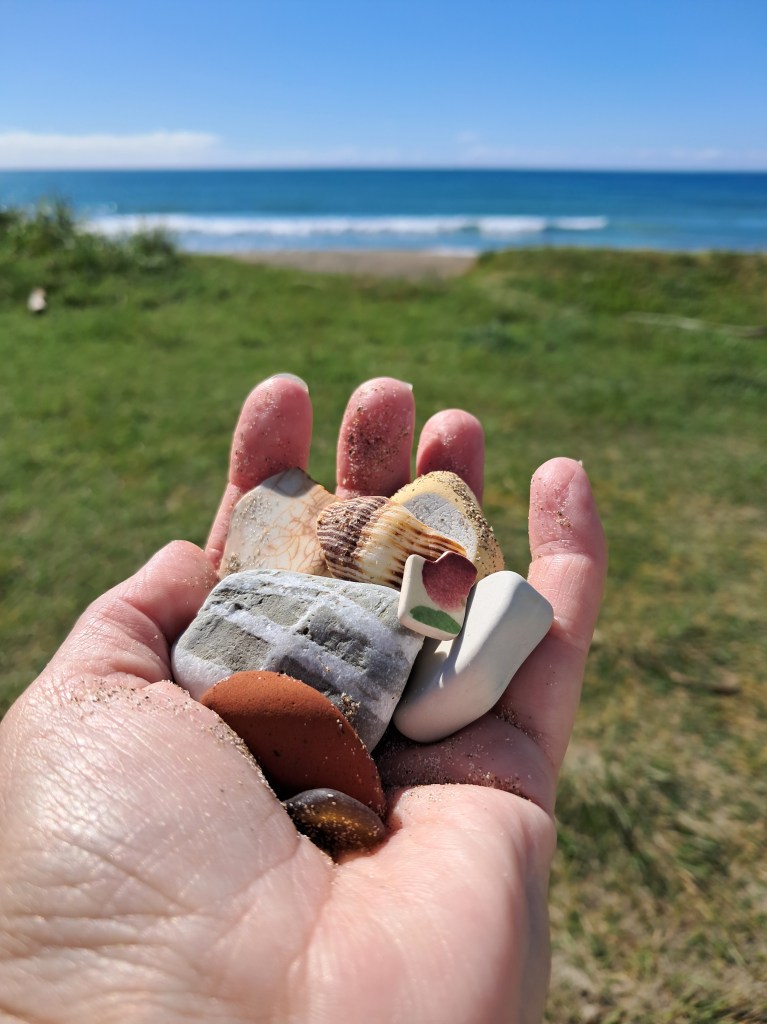
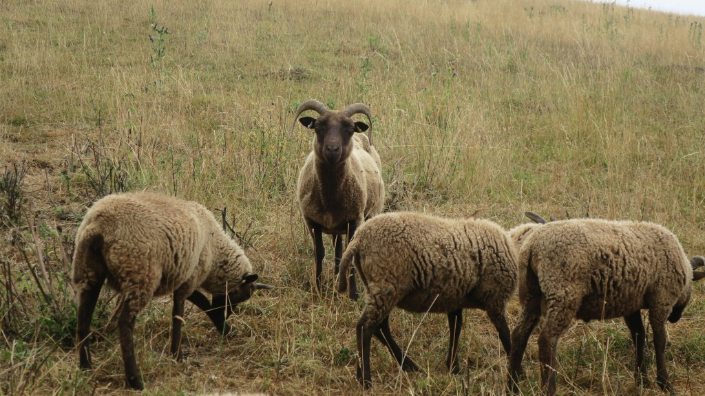
After a bit of walk along the beach finding a few treasures and throwing a stick or two for the dog we carried along state highway 35 (also known as Pie Way 35 for what should now be obvious reasons). This stretch of the highway was a challenging drive, with a great deal of ongoing remedial road works, lots of twists, turns, uneven surfaces and the odd wandering livestock. We came across four very confused calves who had made a break for freedom and then appeared to not know what to do with it once they had it.
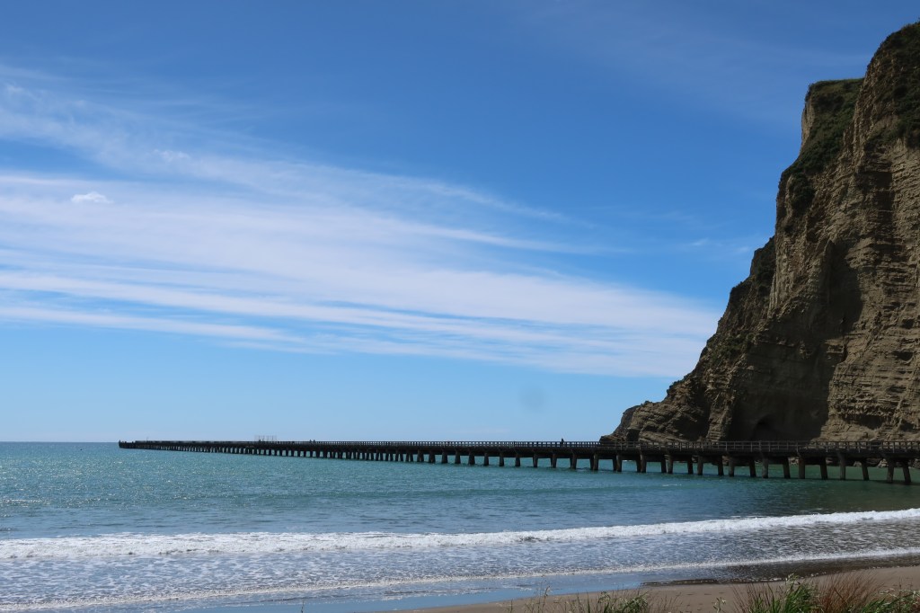
The next stop for the day was Tolaga Bay, where, yes, that’s right he bought another pie…but I think he was all pie’d out by this stage as the comments were less enthusiastic then earlier in the day. Did the obligatory stroll down Tolaga Bay wharf, I had a bit of lunch and a coffee and then we were off again, bumping along the highway to Tatapouri Bay Oceanside Campsite.
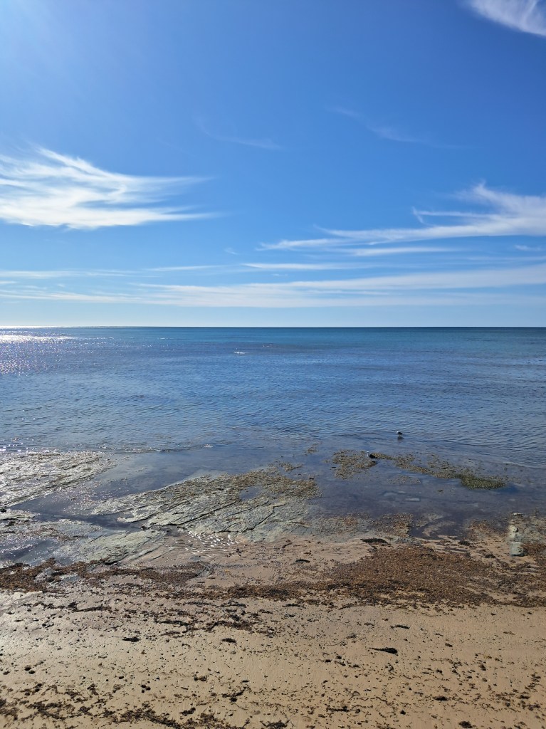
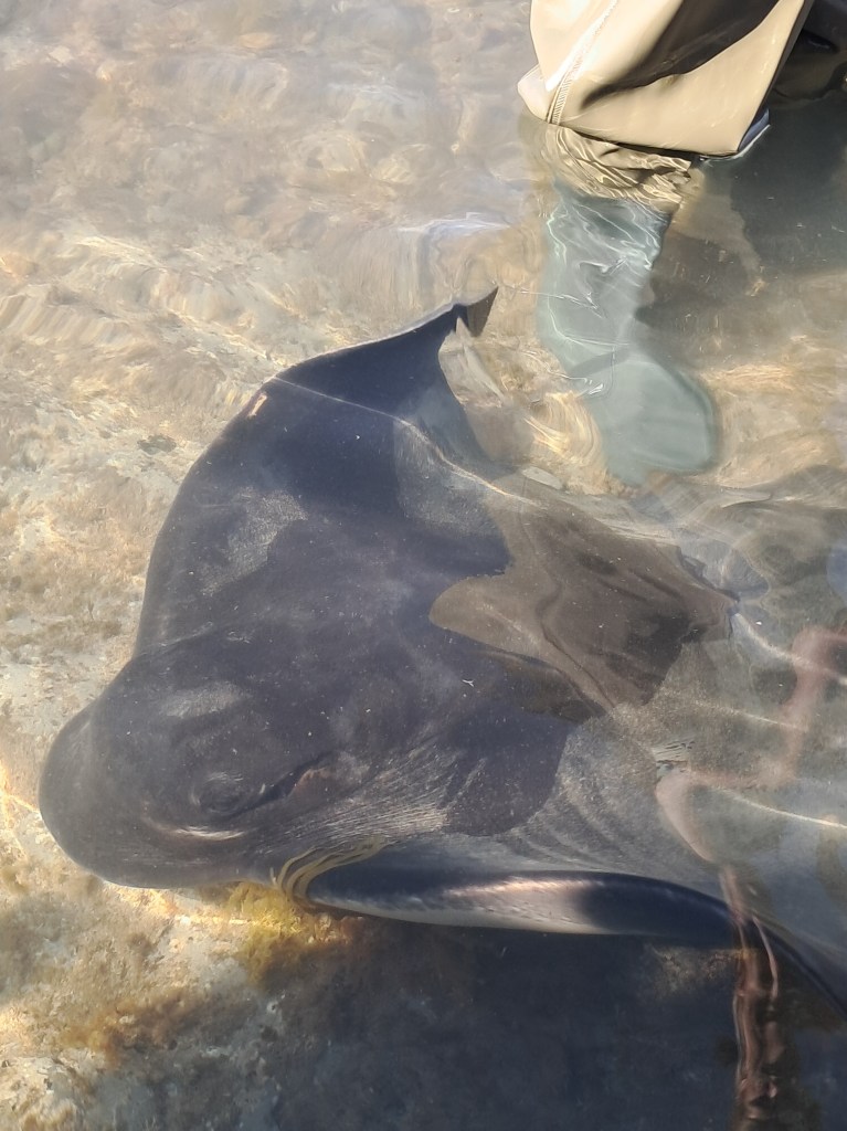
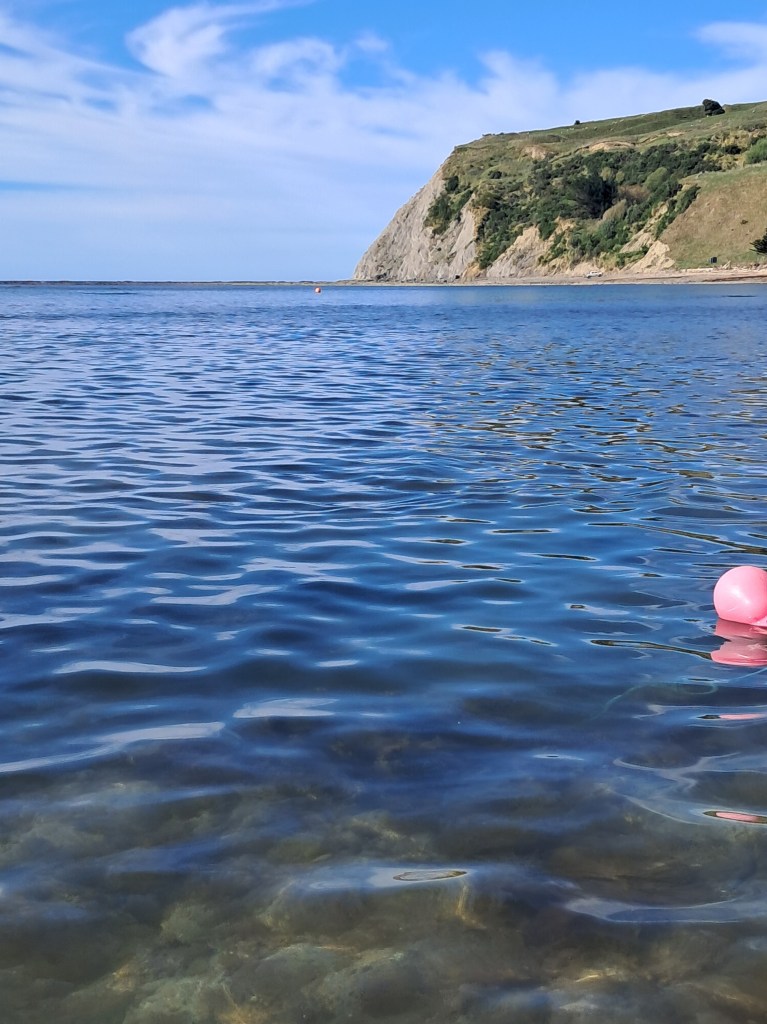
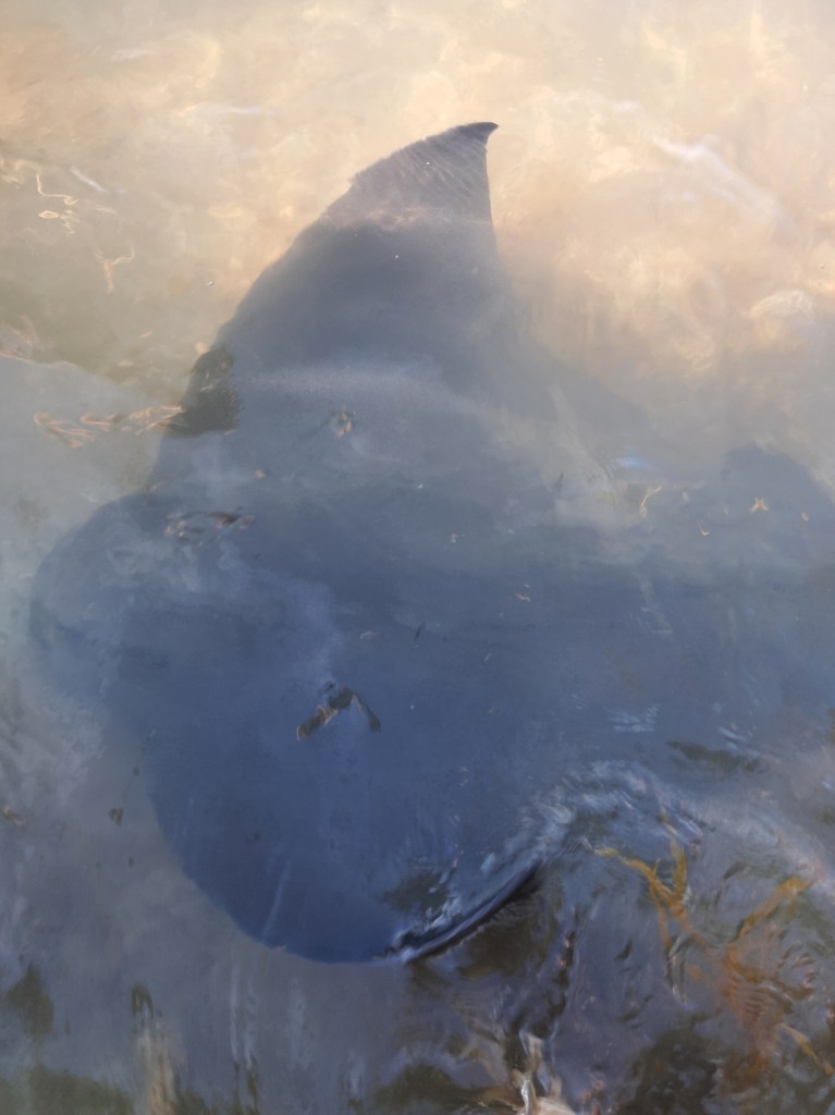
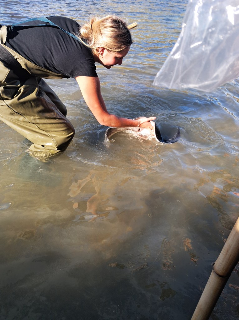
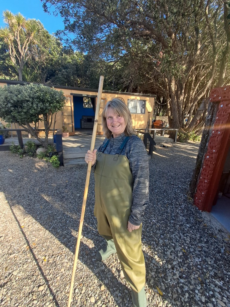
Day five – it was not a great night’s sleep, being beside the highway and so close to Gisborne the number of logging trucks that thundered past the campsite at all hours of the night was a problem, especially as they changed gear going up the hill. Having said that this is lovely campsite but perhaps next time I’d pick a spot further away from the road. But my morning was to greatly improve. Our purpose for stopping here was to join Dive Tatapouri on one of their Reef Tours where you get to do a meet and greet with the local stingray population. We were up early as we needed a low tide; the dog was feed and walked then given her lick mat to keep her occupied whilst we were busy.
The tour begins with donning some very attractive waders, you’re given a stick to help you walk out over the reef and of course a safety briefing. We are then led across the rocks out to a depth that was about knee high and before you know it there were eagle rays and short tail (named Moana) ray coming over to say hi. They are extremely friendly and reminded me of mischievous puppies, we were allowed to stroke them and give them a wee fishy treat. It was surprising how soft their skin is. The guides were very knowledgeable, explaining how all the rays in the bay were females – the males lived further out to sea with their own territories. I learnt that rays respond to heartbeats and that if you are swimming in the sea, it is more than likely that a ray (especially the eagle rays) will be near by checking you out. Overall, it was fantastic experience and one I would highly recommend.

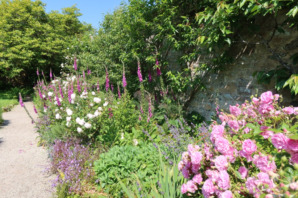
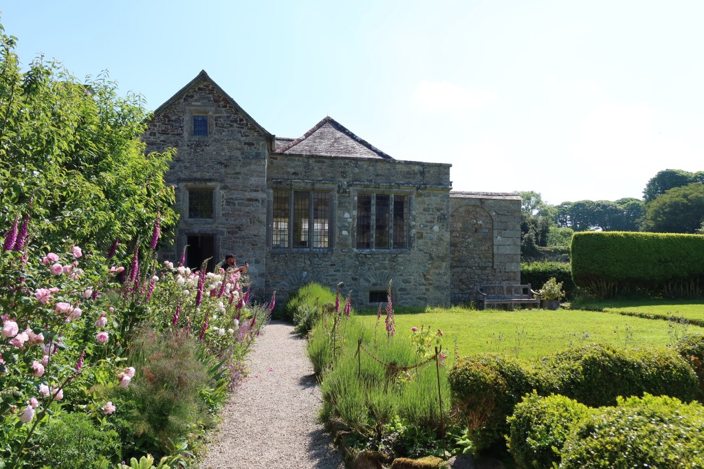
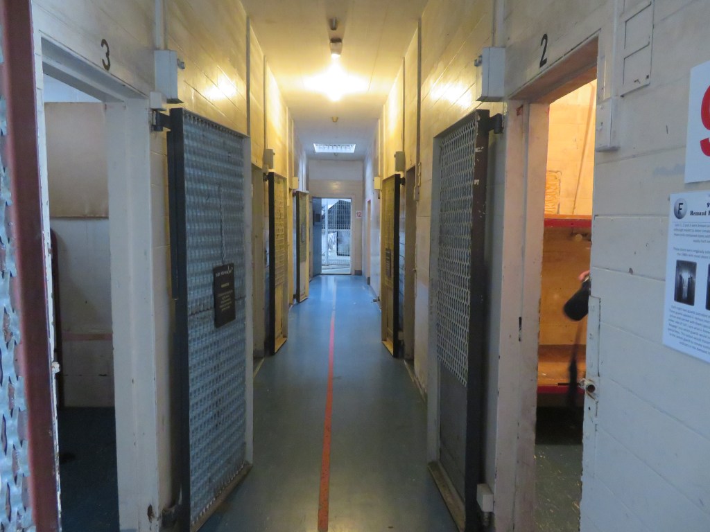
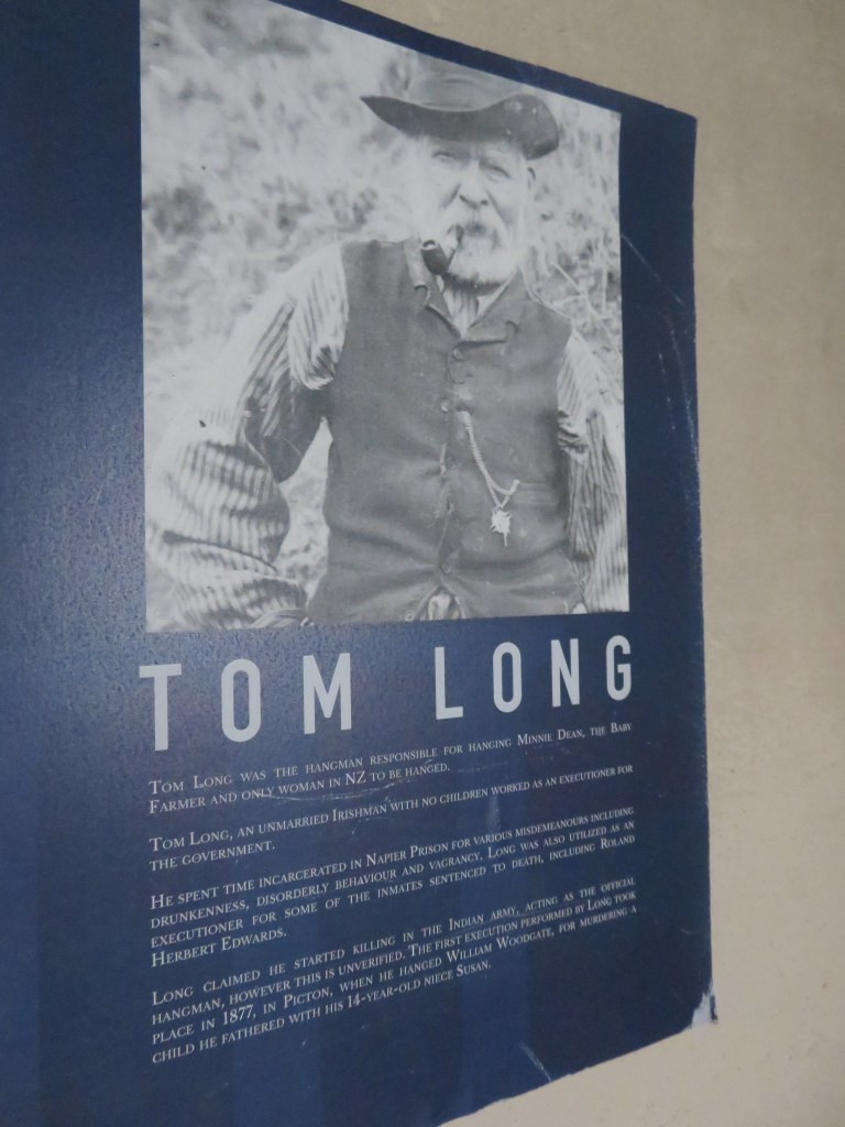
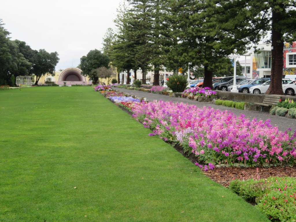
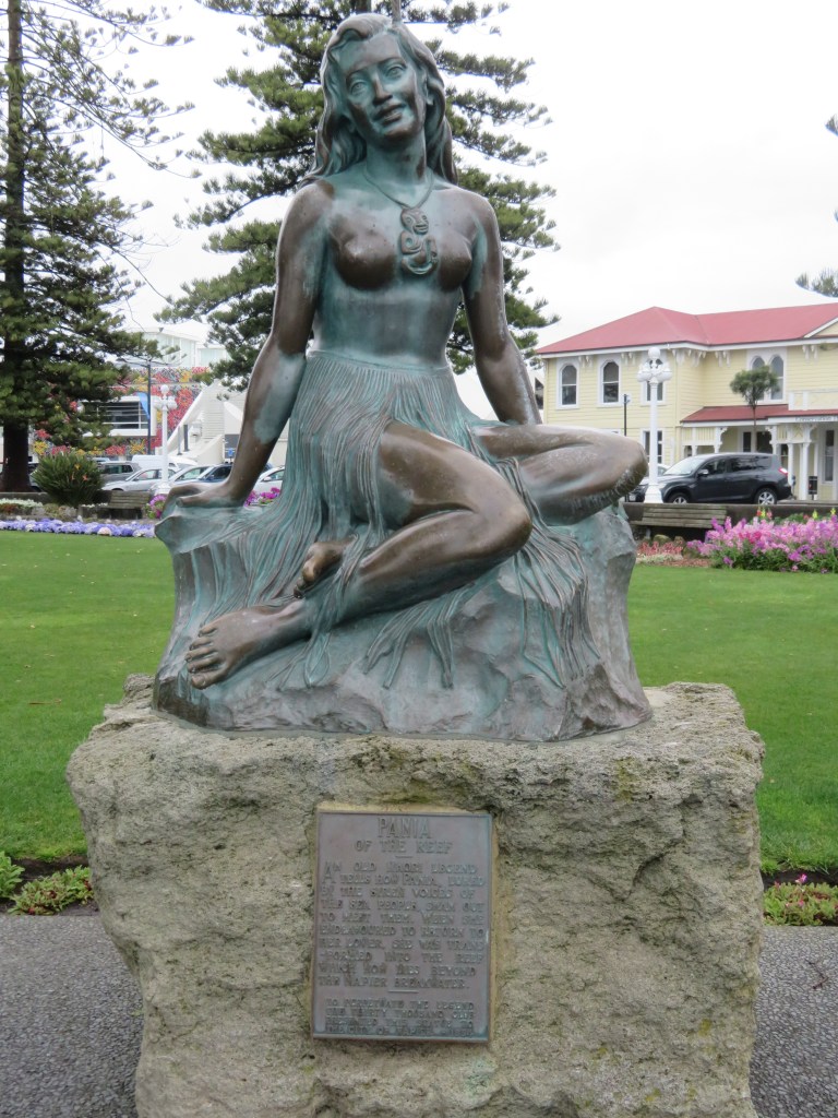
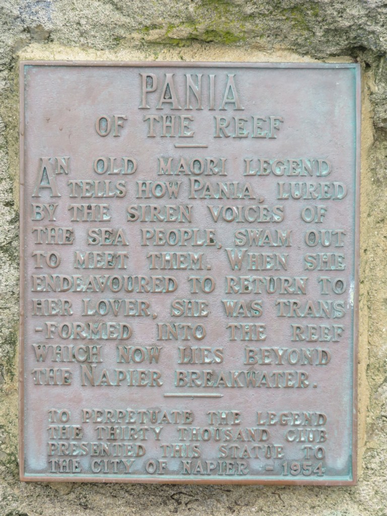
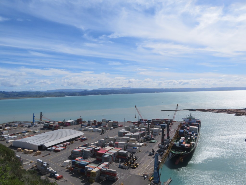
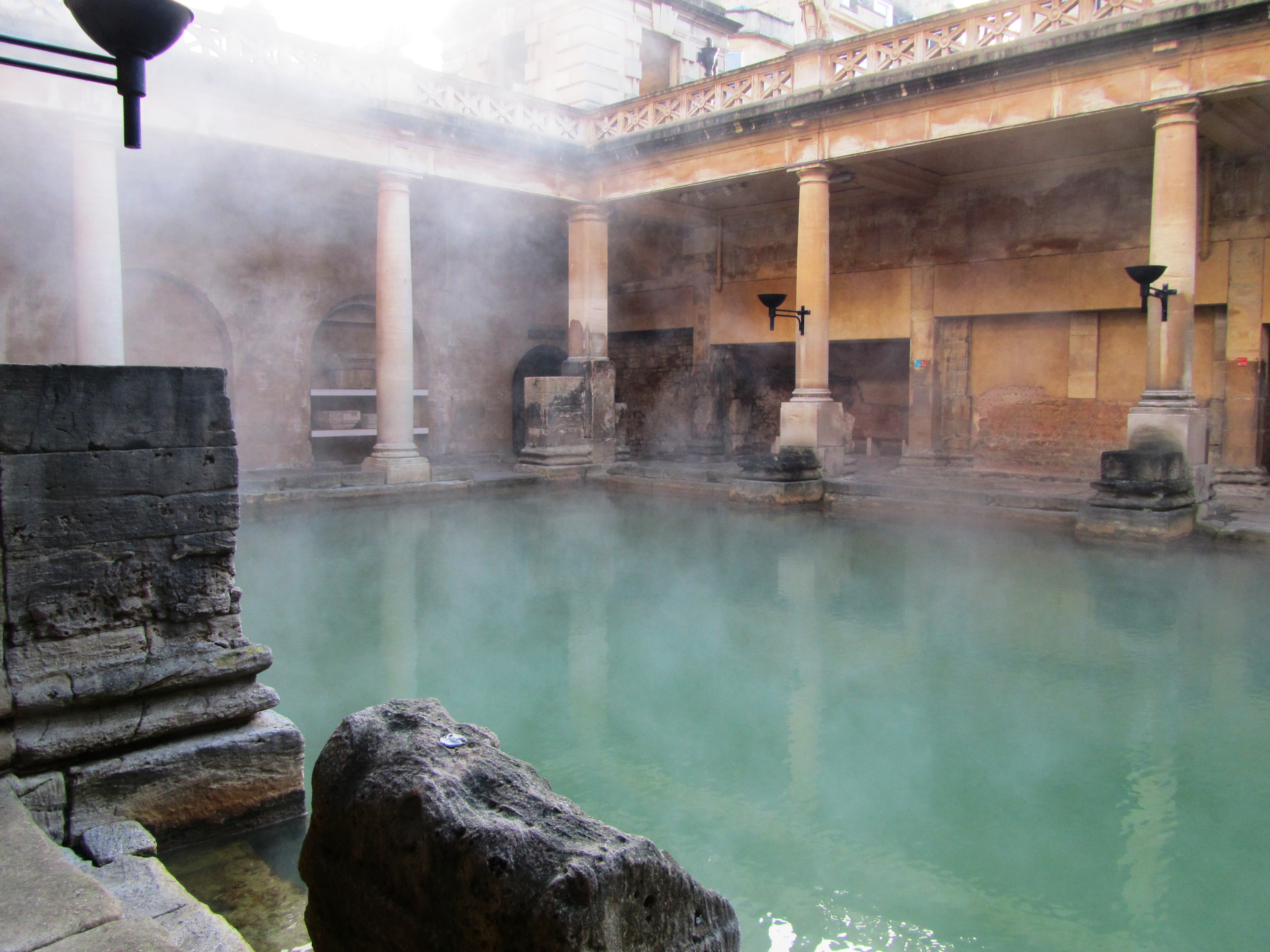
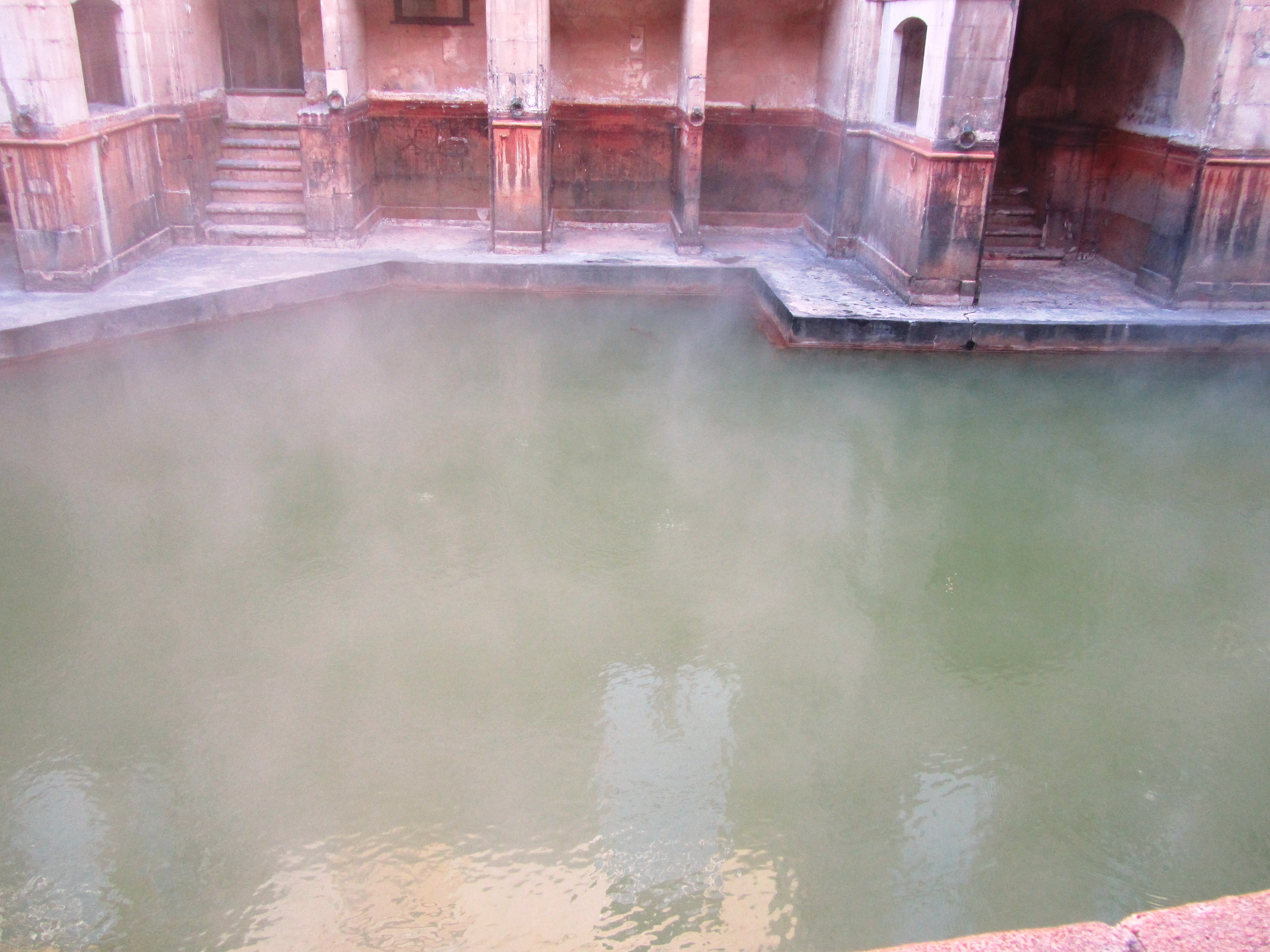
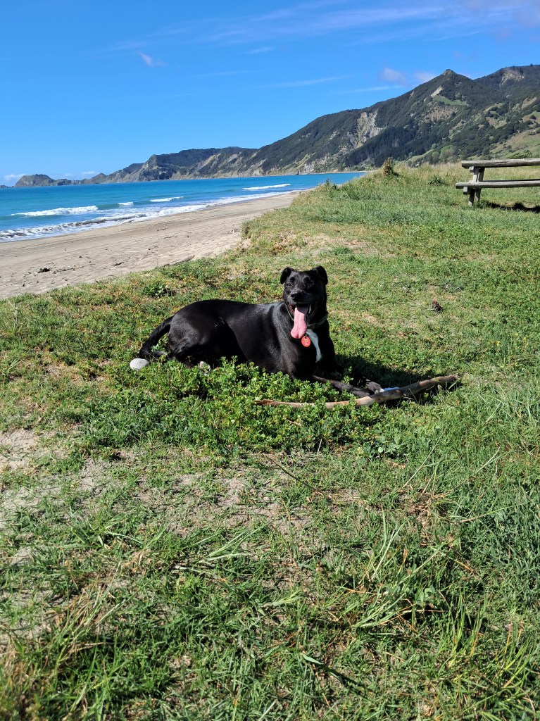
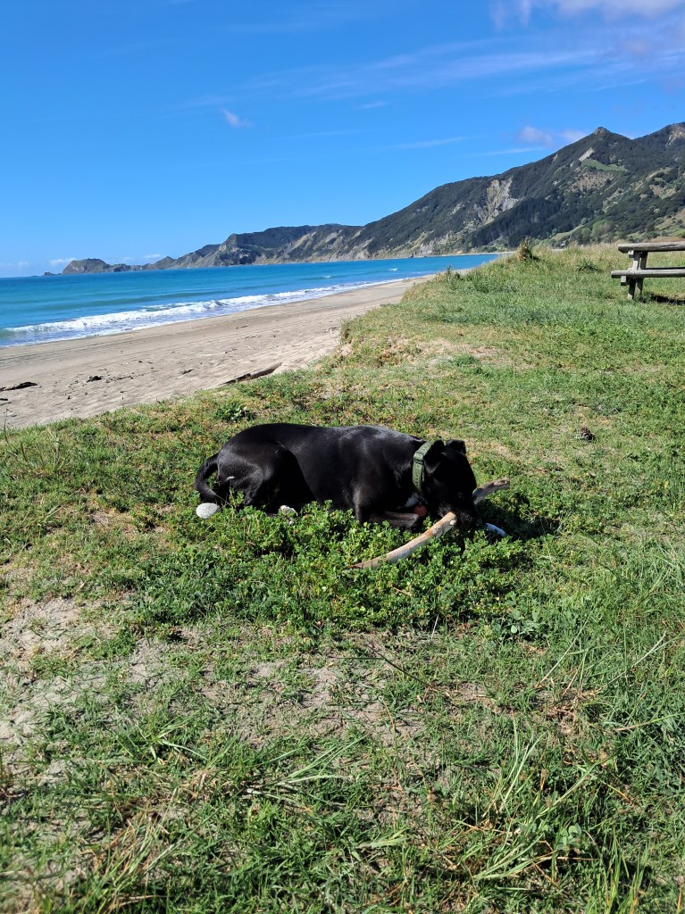
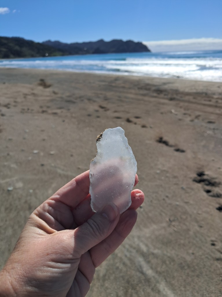
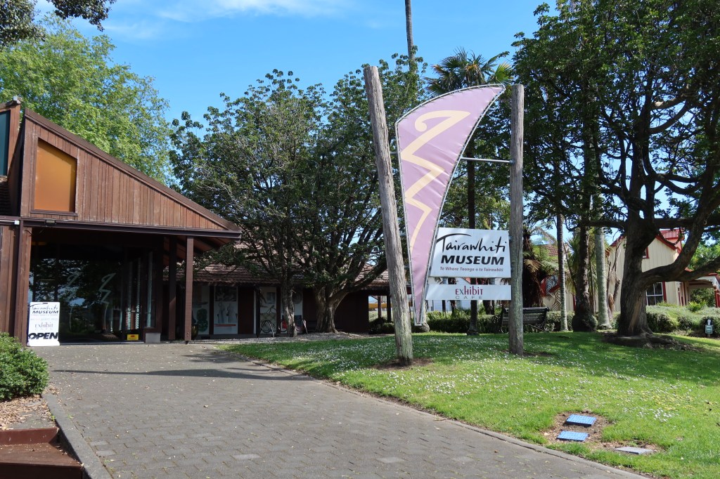
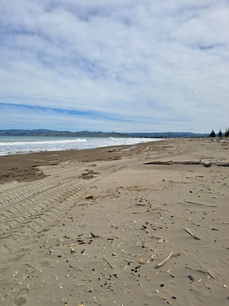
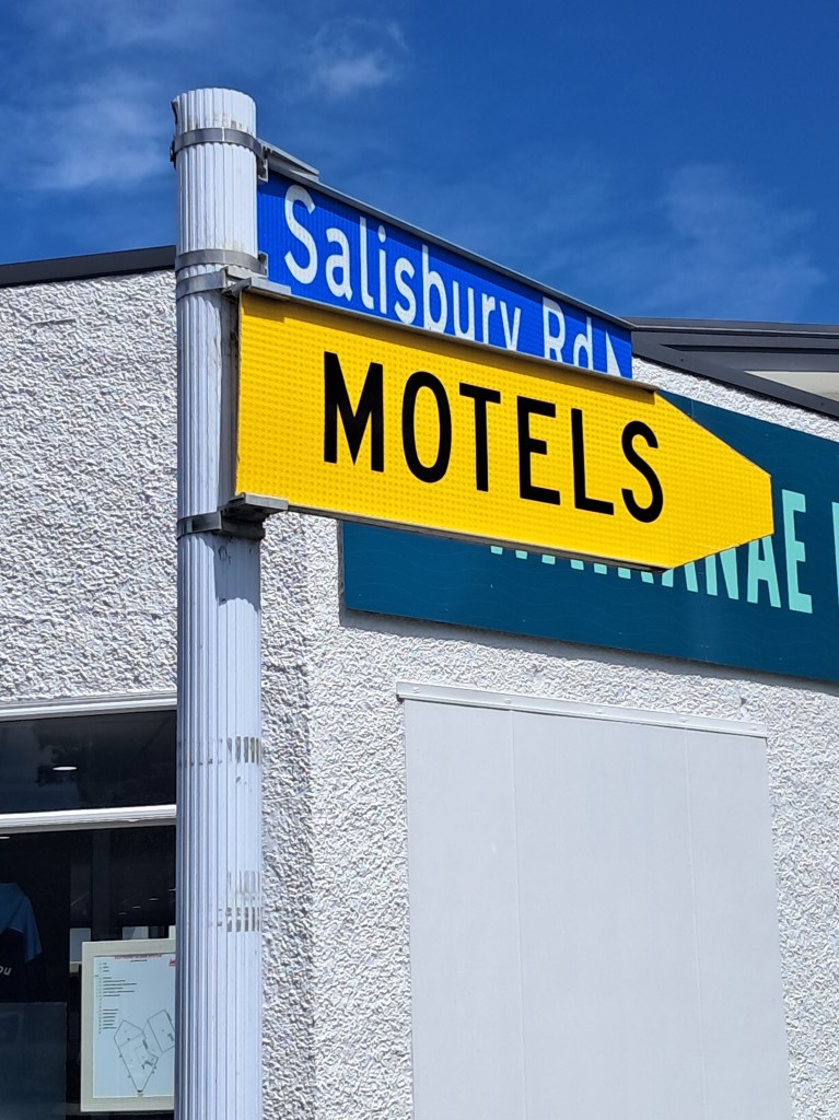
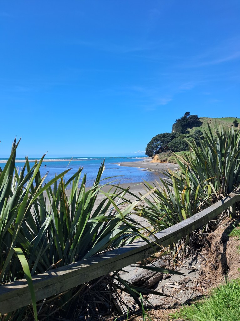
After our exciting morning we drove the short distance to Gisborne, where I paid a quick visit to the Tairawhiti Museum (Tairawhiti is the Māori name for the Gisborne area) and the husband got told off for walking the dog in a no dog park – oops! We then went in search of the ‘i’ site so I could buy some fridge magnets for the collection. Along the way we found another Salisbury road (our road in Auckland) and discovered our number was park – it’s the little things that keep life interesting…That night we parked up in the NZMCA park which was a very well looked after park in a great position across the road from the beach. Yes, there were walks and stick throwing for the dog. I also rescued a bag of small pieces of driftwood. Unfortunately, they were doing a major clean-up of the beach with trucks and diggers removing much of the larger pieces of timber that had washed up on the beach. One of the major issues in the area is when there is flooding etc much of the waste material from the forestry plantations washes down the rivers, onto beaches and out to sea.
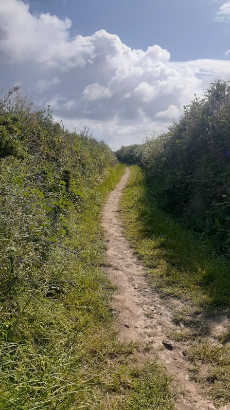
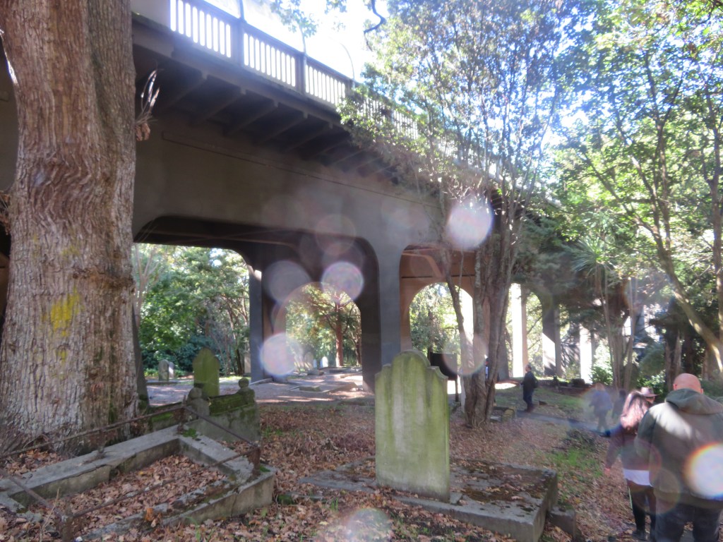
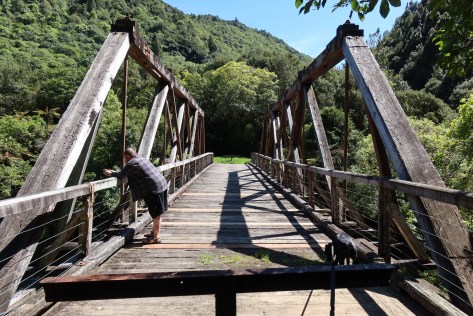
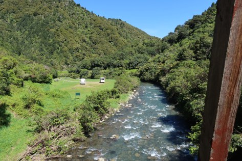
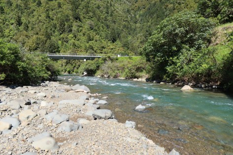
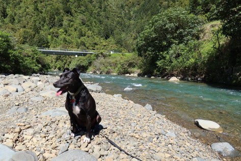
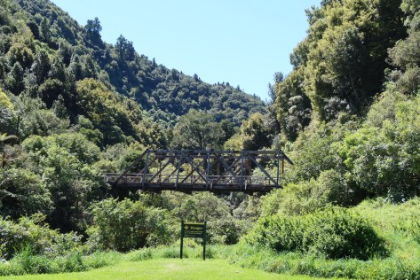
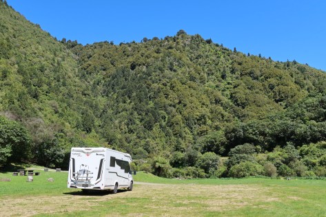
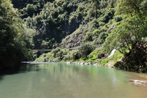
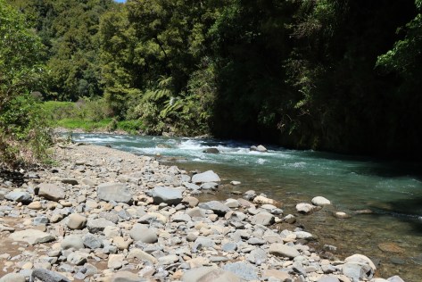
Day six started with the usual walk on the beach and stick throwing for the dog, dodging trucks and a digger going at speed! Our destination today was to be Opotiki via the beautiful (and long and twisty) Waioeka Gorge. Approximately halfway through the gorge is lovely wee campsite with fire pits, beside the river. We stopped here for some lunch and to stretch our legs, talking a loop walk across an old wooden bridge (the Manganuku Bridge) and along the river. The dog was grateful for the sniff stop.
The husband as per usual got to chatting to another motorhomer who had also stopped for break, and they recommended a freedom camp on the other side of Opotiki for our nights stop. It was an excellent recommendation. The freedom camp was at the Te Ahiaua Reserve at the northern end of Waiotahi Beach and even though it was on the main road between Whakatane and Opotiki it was peaceful night’s sleep.
The next day we meandered our way to Rotorua where we did the usual and went for a walk in the redwoods, the dog met some well-mannered pooches, sniffed out a tree with a possum in it and generally had a ball. We had intended to stay the night at the Lakeview Golf Course, but a lack of room had us moving on and we found ourselves at the Horahora Domain on Lake Karapiro – a freedom camp we have stayed at before. It was busy but once the jet skiers had gone home for the day all was quiet.
Day seven saw us head for home feeling grateful that we could have this time to explore a small part of our country.