Tag Archives: Maori

Here be dragons

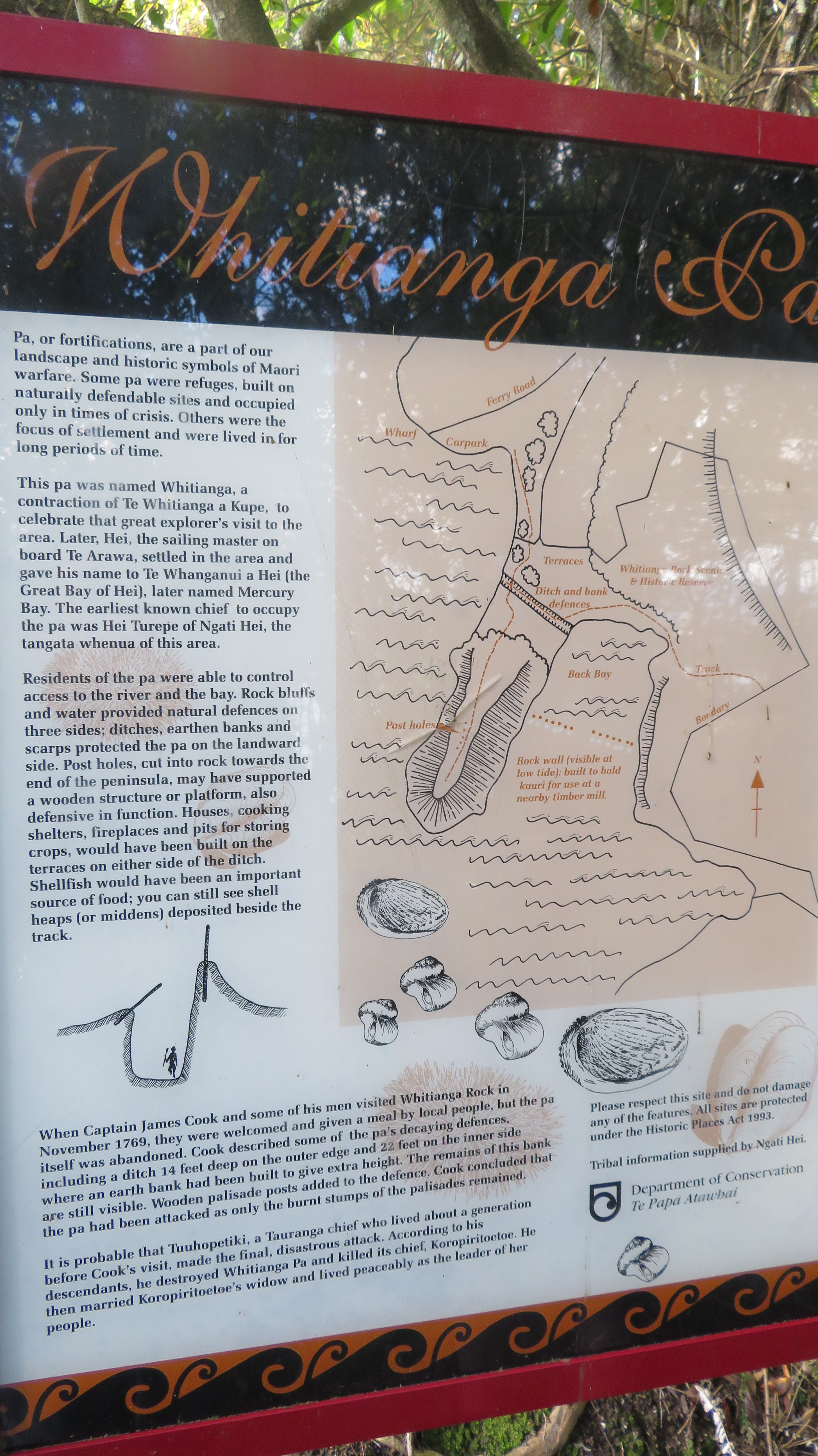
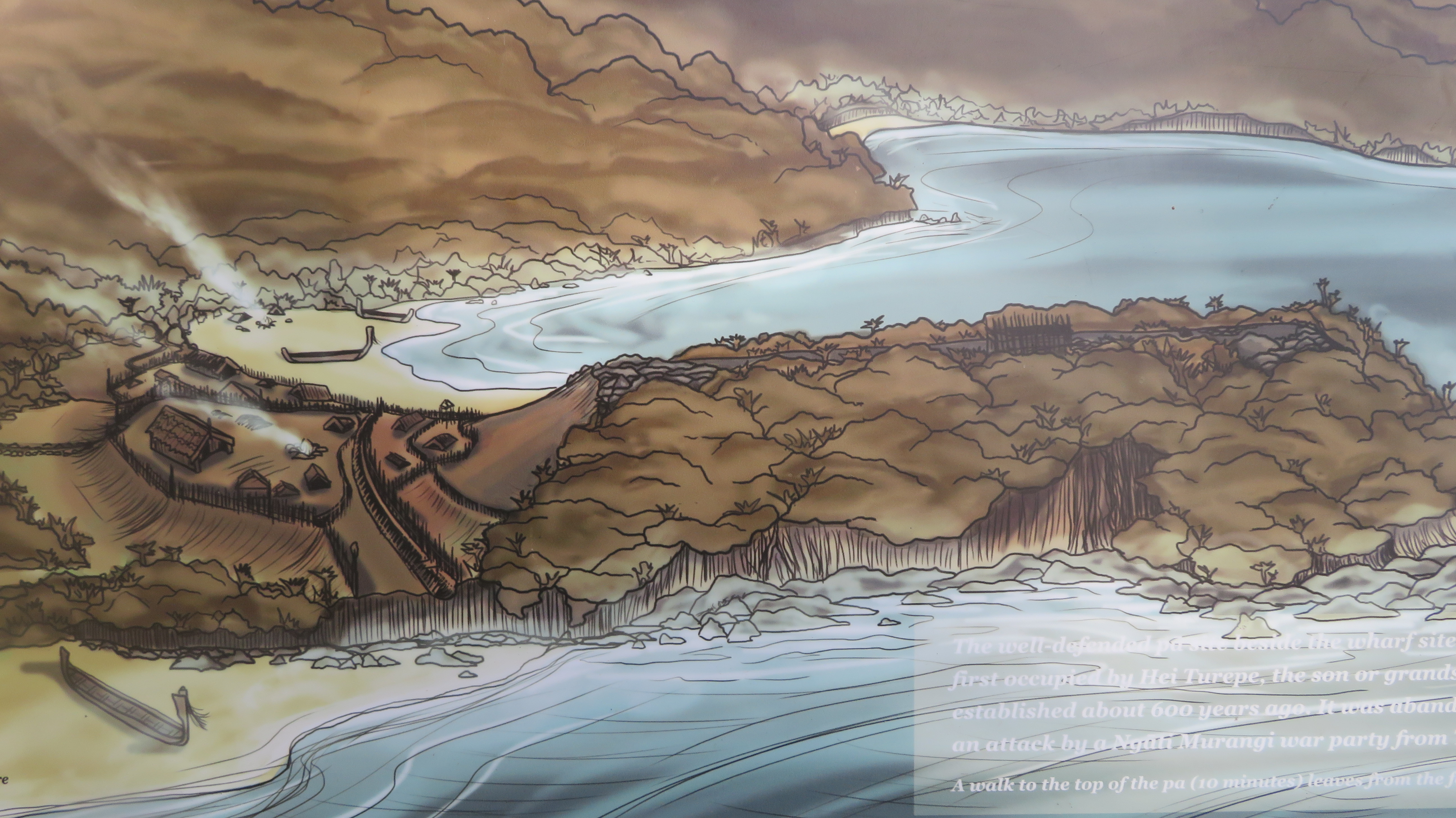
Taniwha in Maori Myth

Regardless of where you go in the world and what culture you study, stories of dragons are a recurring theme within the stories of any given people. Dragons abound everywhere and every time, even in our modern and increasingly sceptical world the desire to believe is still strong.  Take the stories of the Loch Ness monster or the giant serpents of the Hudson River and other similar creatures that periodically pop up all over the world. The Maori are no different, they too have their myths and traditions involving dragons, of a sort, called taniwha, who are intimately connected with the natural world.

Early drawing of waka – the double hulled waka were most likely to have been used for long sea journeys. (From Rotorua Museum, Wikicommons)

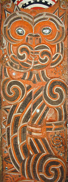
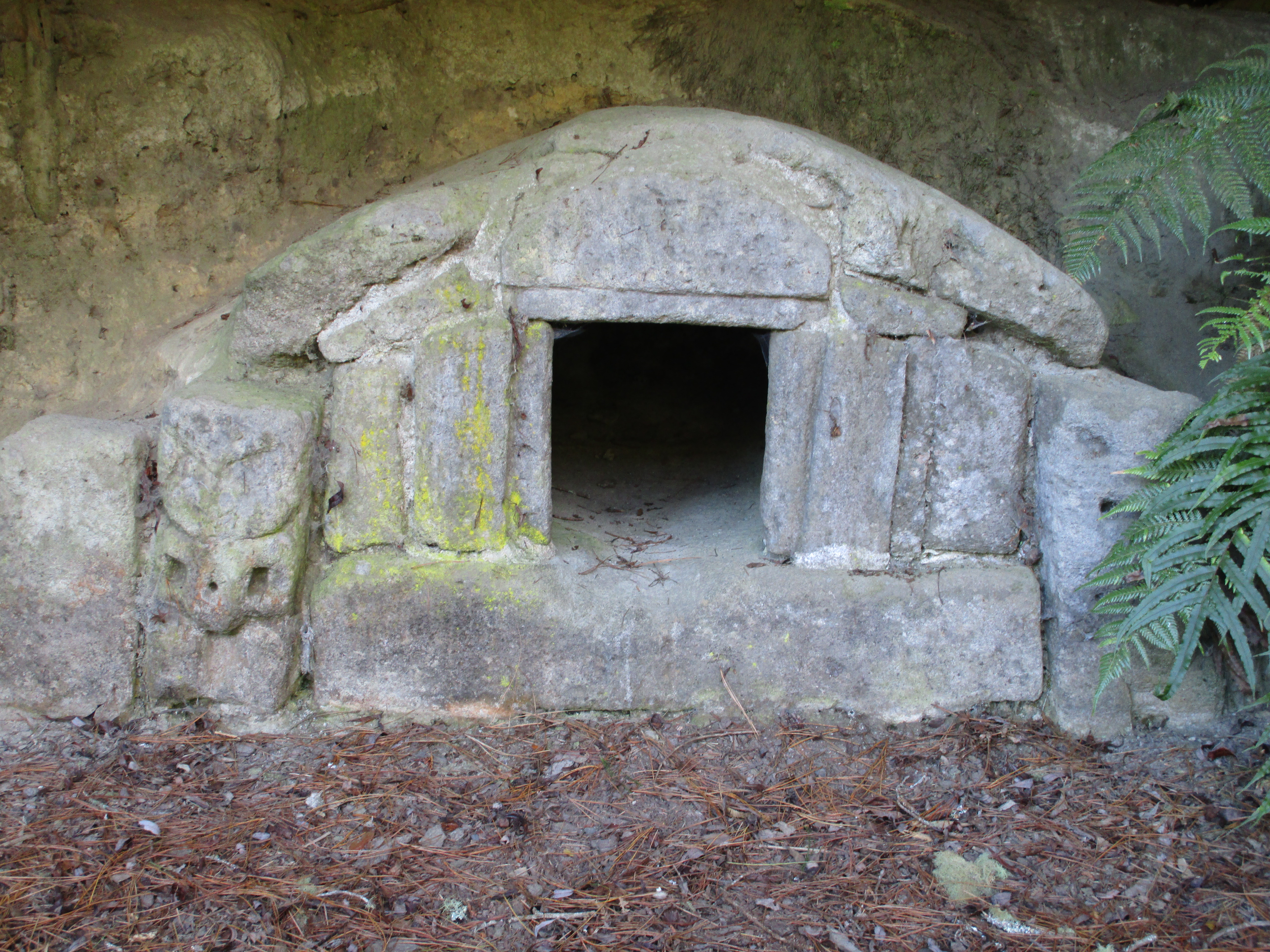
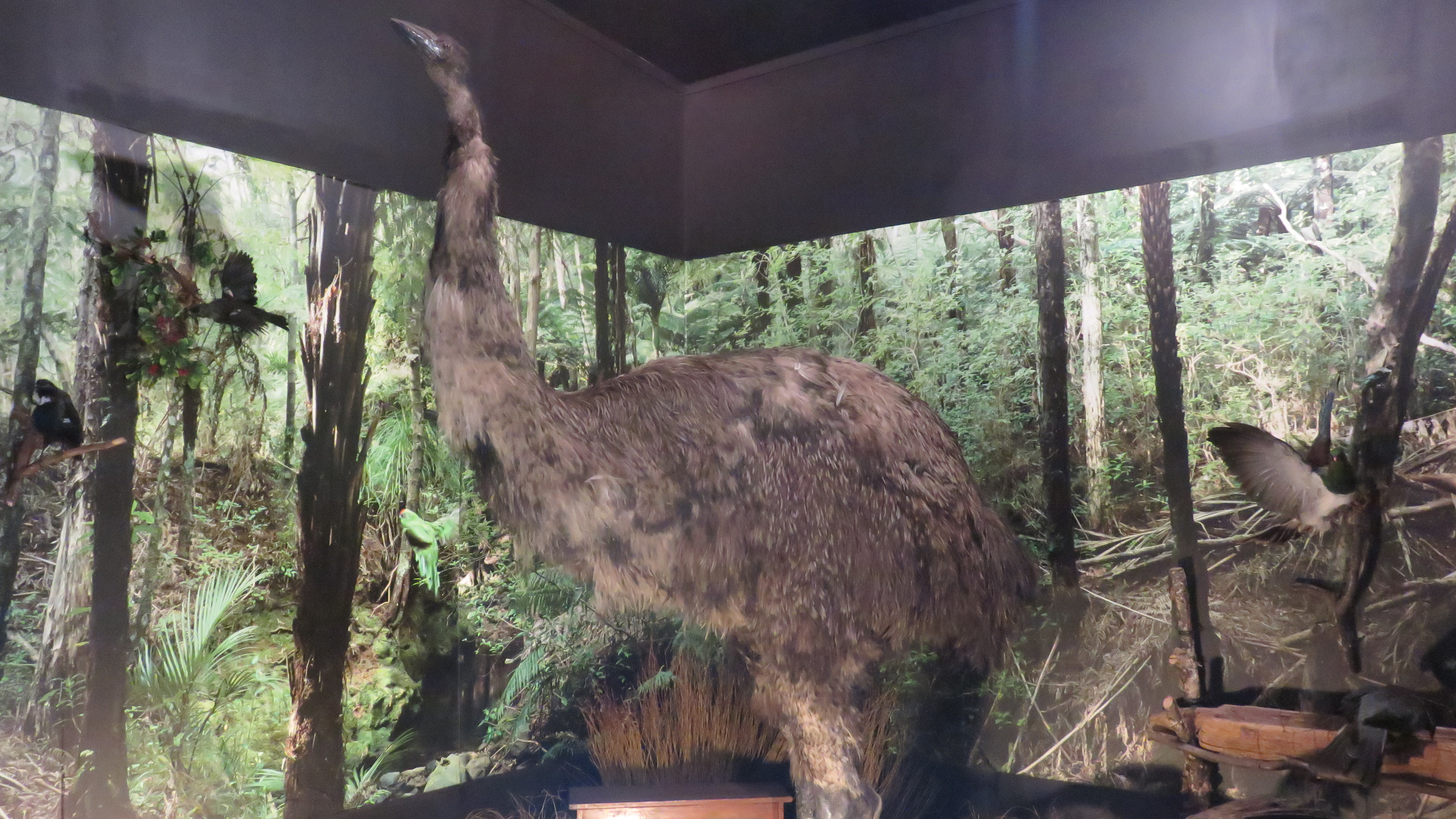
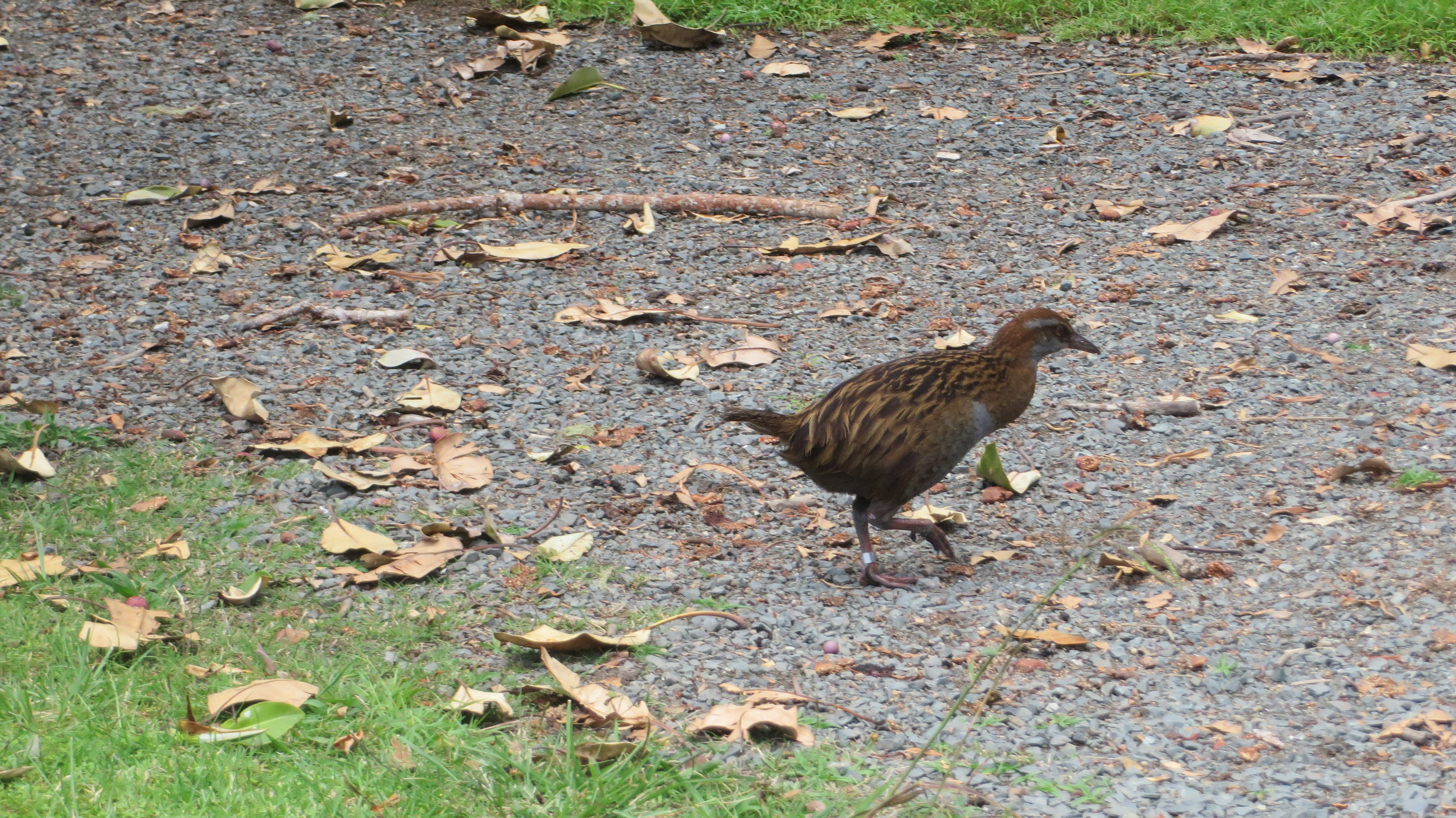
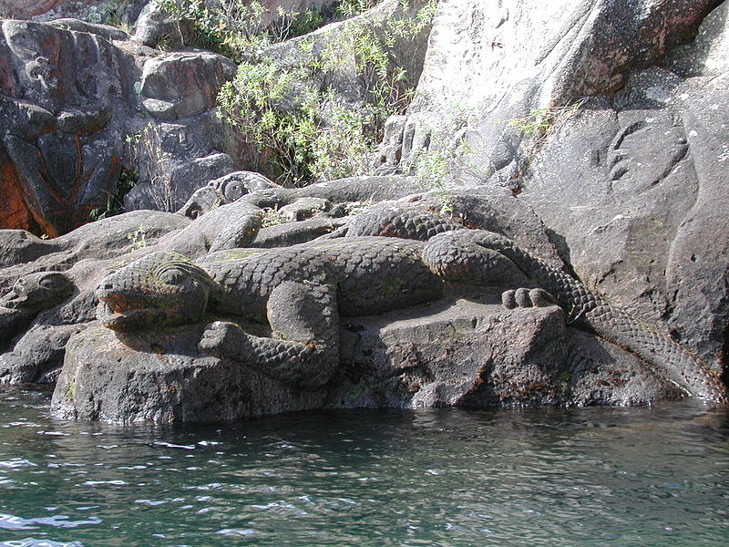
Taniwha are in essence supernatural creatures which can appear in different forms, one of which is dragon-like giant lizard, but they can also resemble sharks, dolphins, whales or even in some instances enchanted logs.  They can be the agents of good or evil and sometimes neither.  Every region of New Zealand has a host of stories about their local taniwha, many of whom came with the first explorers acting as guardians and protectors.  Some are special people who have been turned into taniwha upon their death and others are of unknown origin.

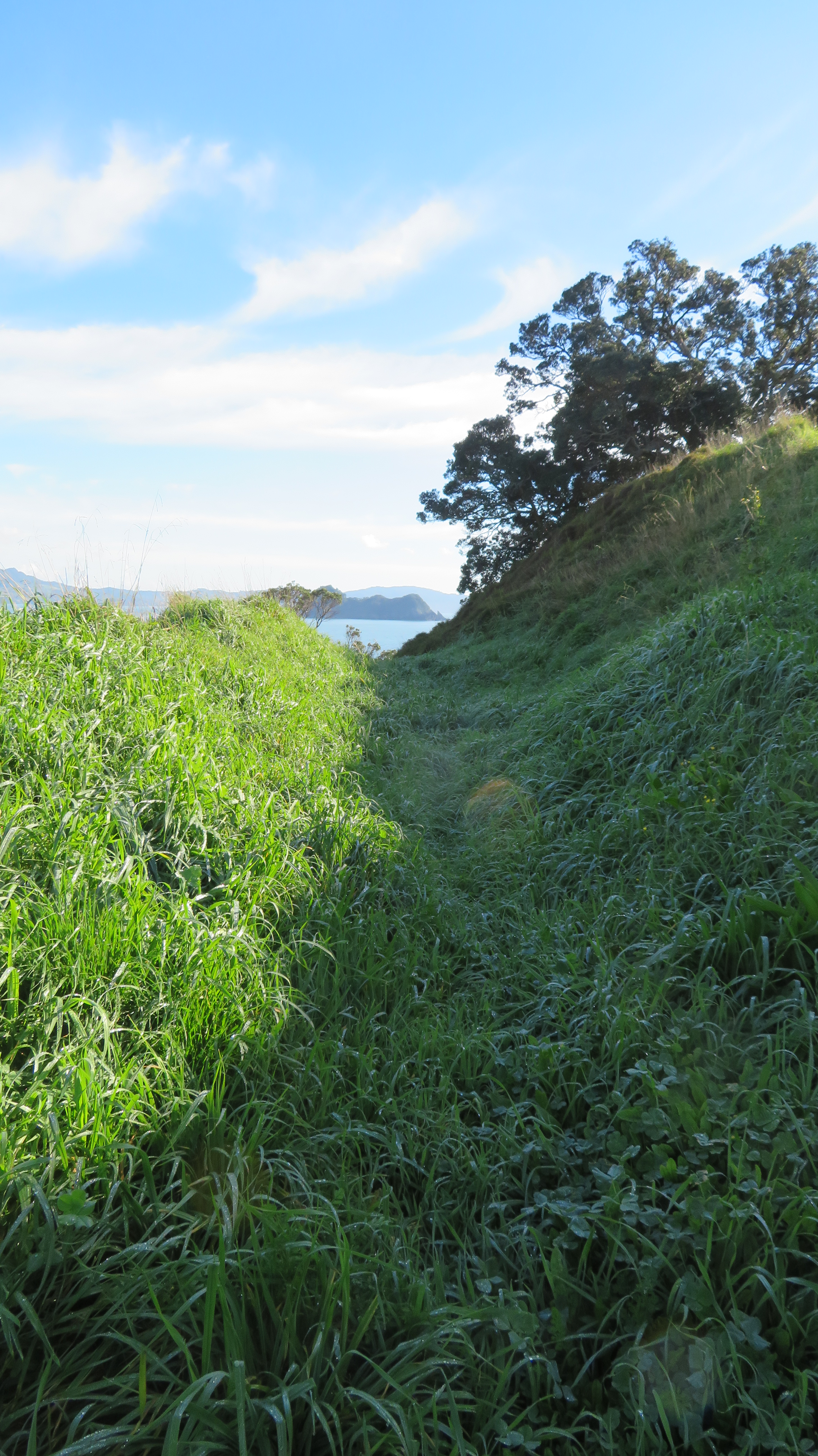
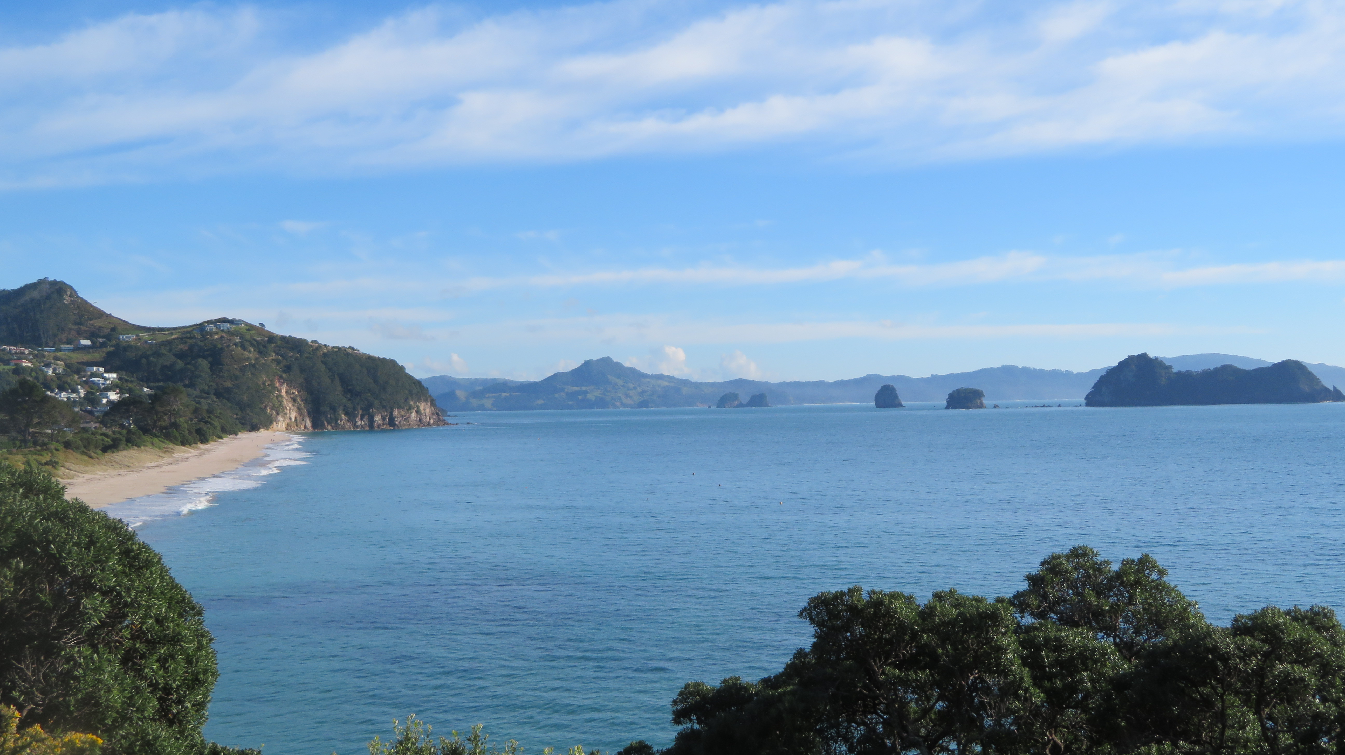
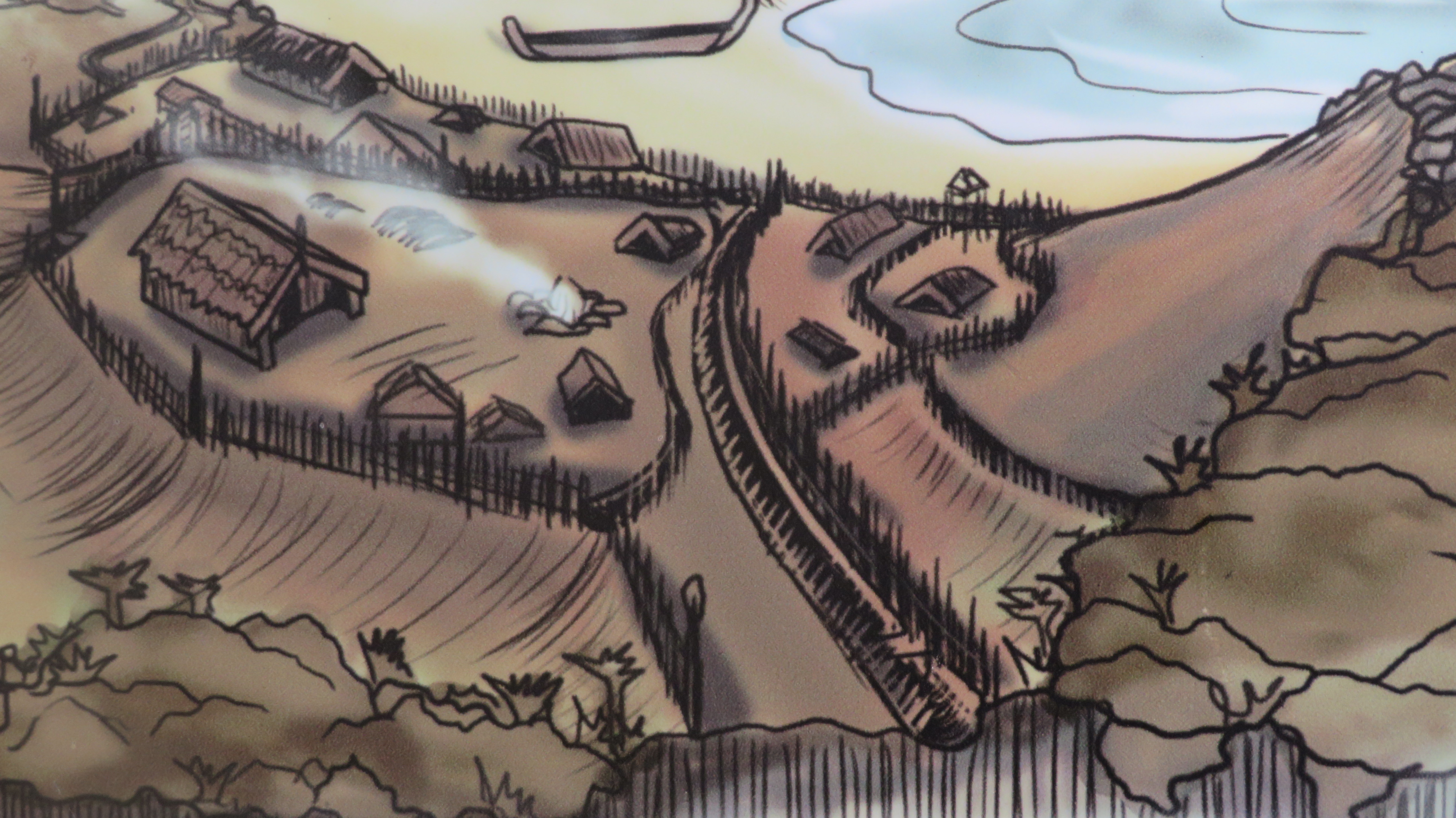
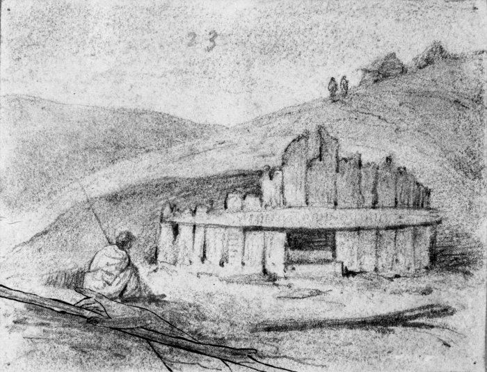
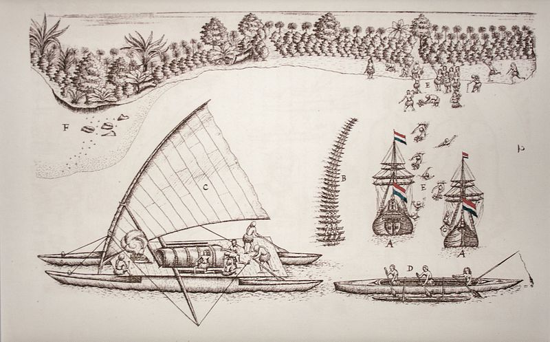
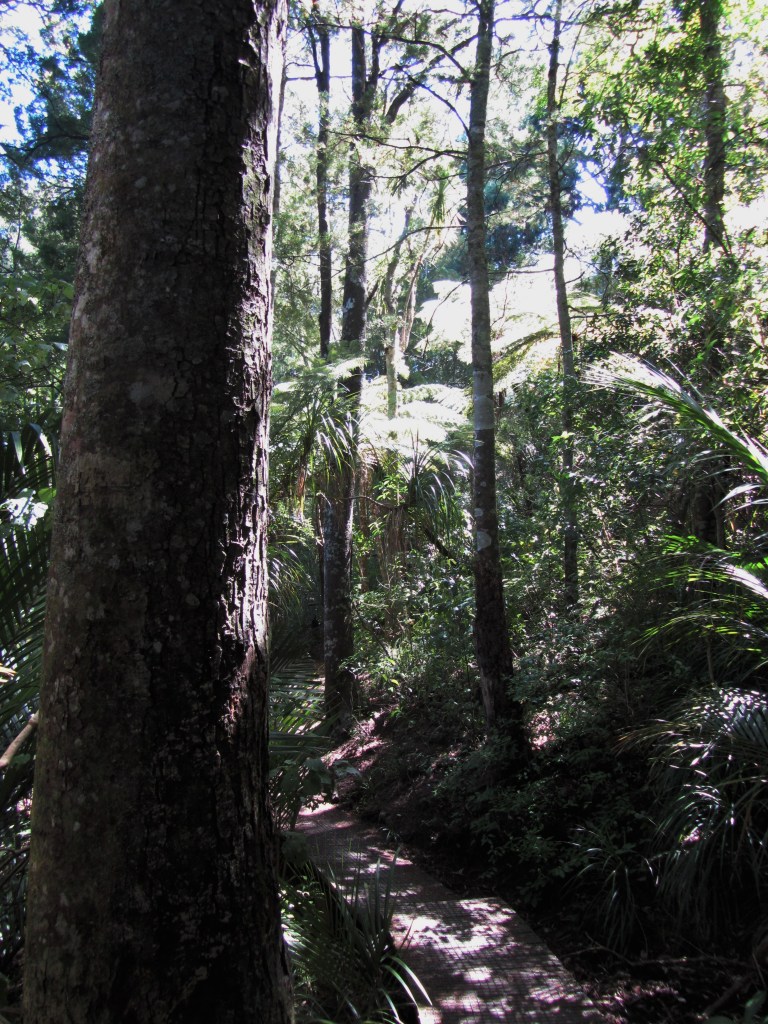
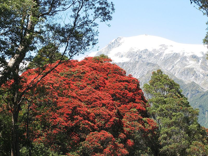
The Maori are descended from the first Polynesian explorers who arrived in the land we now know of as New Zealand approximately eight hundred years ago (give or take a few hundred years…) and there are often similarities in the myths from certain parts of the Pacific, such as the Cook Islands and Society Islands. However, the taniwha of Maori tradition have evolved as a result of the unique environment these early explorers found themselves in. New Zealand’s environment is very different from the island worlds they would have come from. It is after all a much larger world of mountains, deep forests with giant trees, fast flowing rivers and wild coasts.  Even today a person walking in the bush can come across areas, secret places where you feel it would not pay to tarry.

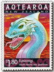
In Maori tradition the first people to arrive came on large seagoing waka and many of the early stories relate to these ancestors and how they adjusted to their new land. In the traditions the waka would be accompanied by a taniwha who would be its protector, such as, Kupe’s taniwha, Tuhirangi or the female taniwha Araiteuru who came with the waka Mamari.  Though there are some traditions which say she travelled with the waka Takitimu and another taniwha called Ruamono.

In the year 2000 New Zealand Post put out a series of stamps to celebrate the year of the Dragon; Araiteuru and Tuhirangi were part of this.

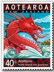
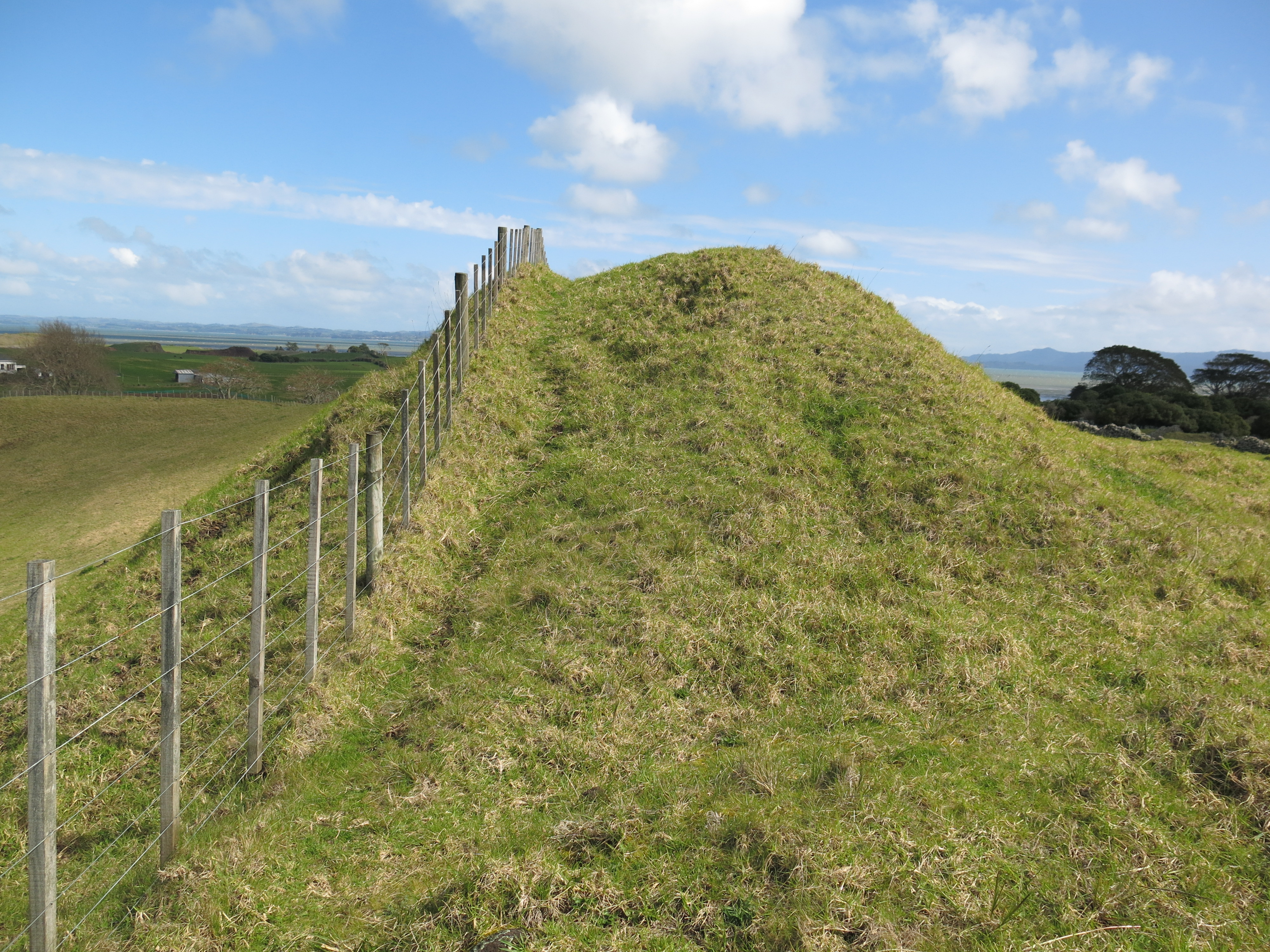
Araiteuru gave birth to eleven sons on arrival in New Zealand, who all went digging trenches along the way, thus creating the numerous branches of the Hokianga Harbour.  It is said that Lake Omapere was created when one of her sons burrowed inland and thrashed his tail around.  As guardian of the Hokianga Harbour Araiteuru dwells in a cave at the south head of the harbour, whilst her companion, Niua, lives in the north head of the harbour.

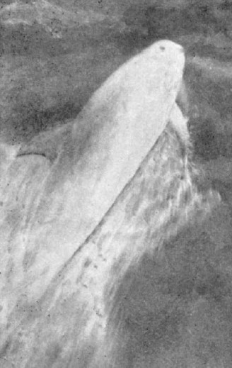
The taniwha Tuhirangi is said to dwell in the Cook Strait where Kupe left him to guide and protect waka as they crossed between the two islands.  Between 1888 and 1912 a Rissos dolphin named Pelorus Jack accompanied ships travelling between the North and South Islands.  At the time, local Maori believed this was the taniwha Tuhirangi in the form of a dolphin, guiding and protecting ships in this dangerous stretch of water.  A number of years later in the summer of 1955/56 another friendly dolphin appeared, but this time at Opononi in the far north of the North Island.  Nicknamed Opo, the dolphin would play and interact with visitors and many Maori believed Opo to be a guardian taniwha.

A grainy photo taken in 1911 of Pelorus Jack/Tuhirangi.

Tuhirangi and Araiteuru were part of a trio of important taniwha, the third member of this group was a female called Huriawa.  Her home is Te Waikoropupr Springs, Golden Bay. She is regarded as brave and wise, travelling through the earth to clear blocked waterways.  The springs which are her home are regarded as the purest form of water which both the spiritual and physical source of life.  The water is often used for healing and in blessing ceremonies.

Another taniwha which accompanied the ancestral waka of the Tainui from Hawaikii was the whale Paneiraira.  His name means ‘spotted head’ referring to his appearance.  He was last seen in 1863 just before the war broke out between the Maori and the newly arrived Europeans.  It is said he came to warn his people of impending disaster. 

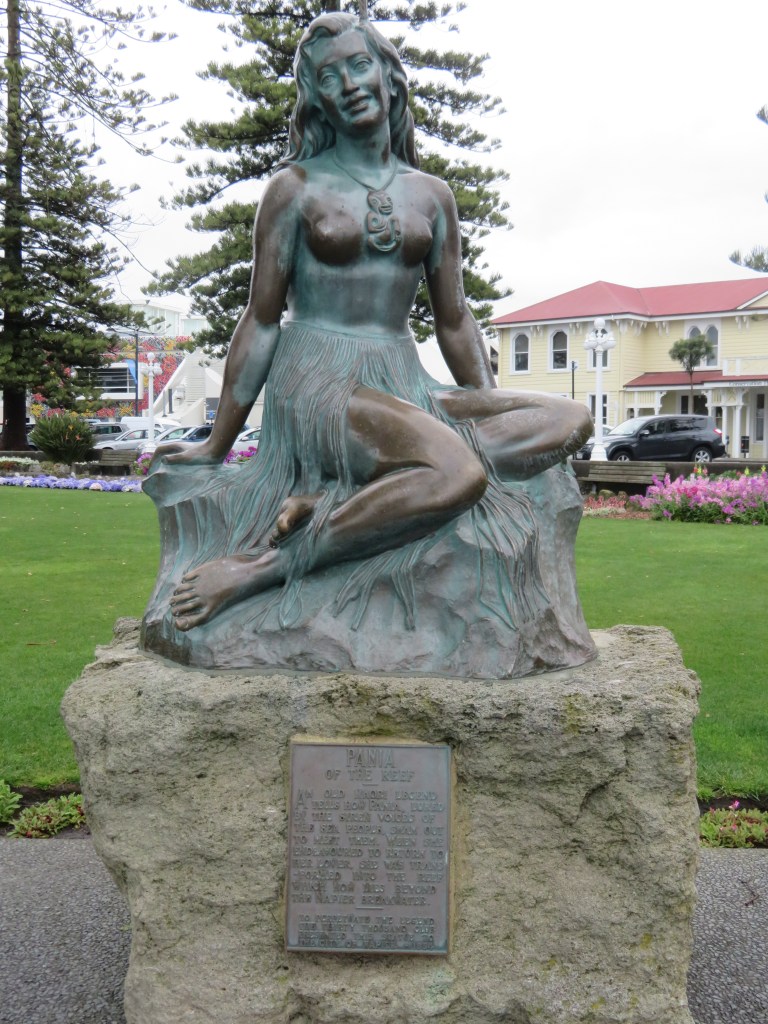
In the story of Pania and Karitoki, their son (Moremore) became a taniwha when his father attempted a ritual to keep his mother form returning to the sea people and failed.  Moremore is a guardian, or Kaitiaki, of the harbour at Te Whanga-nui-a-Orutu.  He appears in different forms, as a shark, an octopus and sometimes a log.  Patrolling the harbour, he would protect the people from danger while they gathered seafood and fished.

A statue of Pania on the Napier seafront.

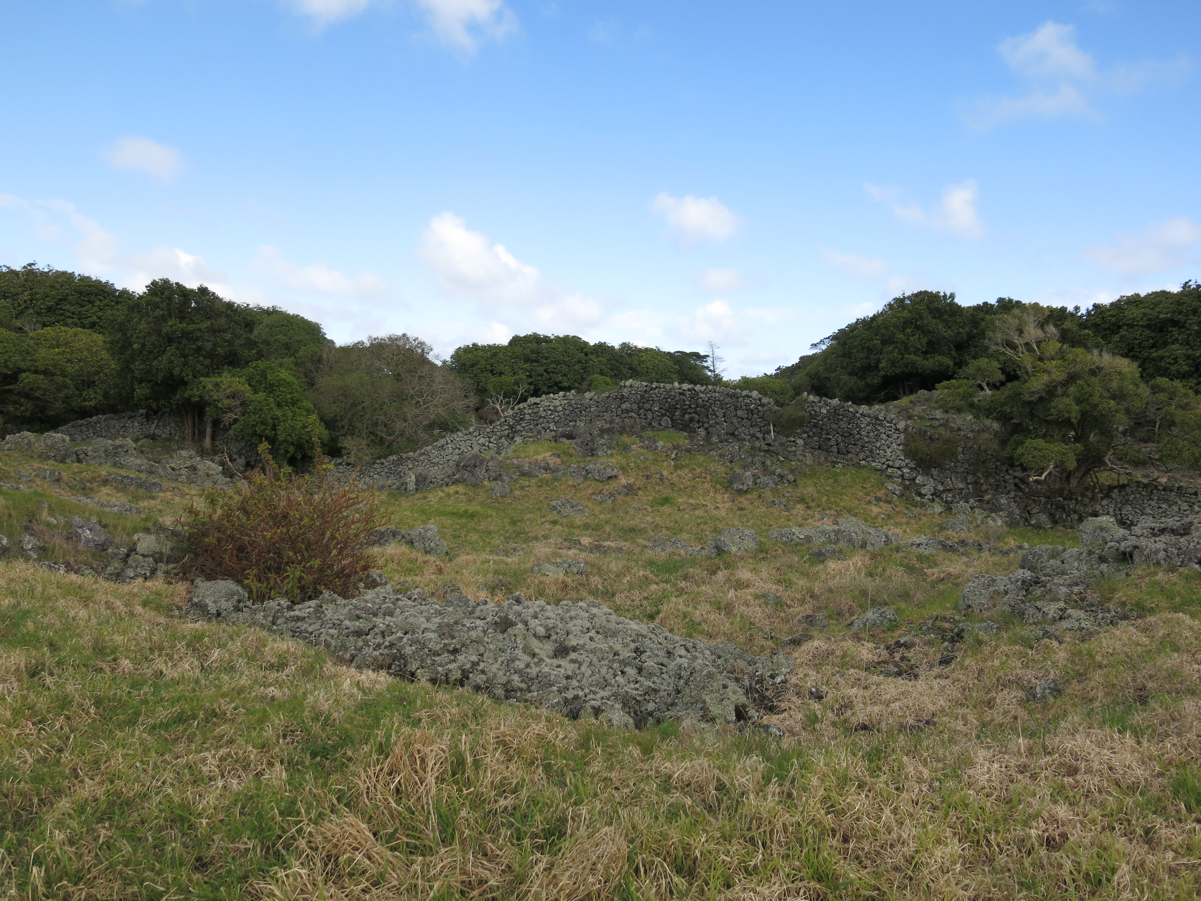
An important aspect of the people’s relationship with taniwha was acknowledgement by making the necessary offerings or appropriate chants.  The local tohunga might off the first kumara to be harvested or the first birds to be caught in the season.  Travellers when passing by a known lair might make an offering of a green twig whilst reciting a chant.  In 2002, the Ngati Nohu (a hapu of the Waikato area) objected to the construction of part of a highway on the basis it would destroy the lair of their taniwha, Karutahi.  After much discussion and to the satisfaction of the elders, the transport agency agreed to reroute the highway to avoid the lair. 

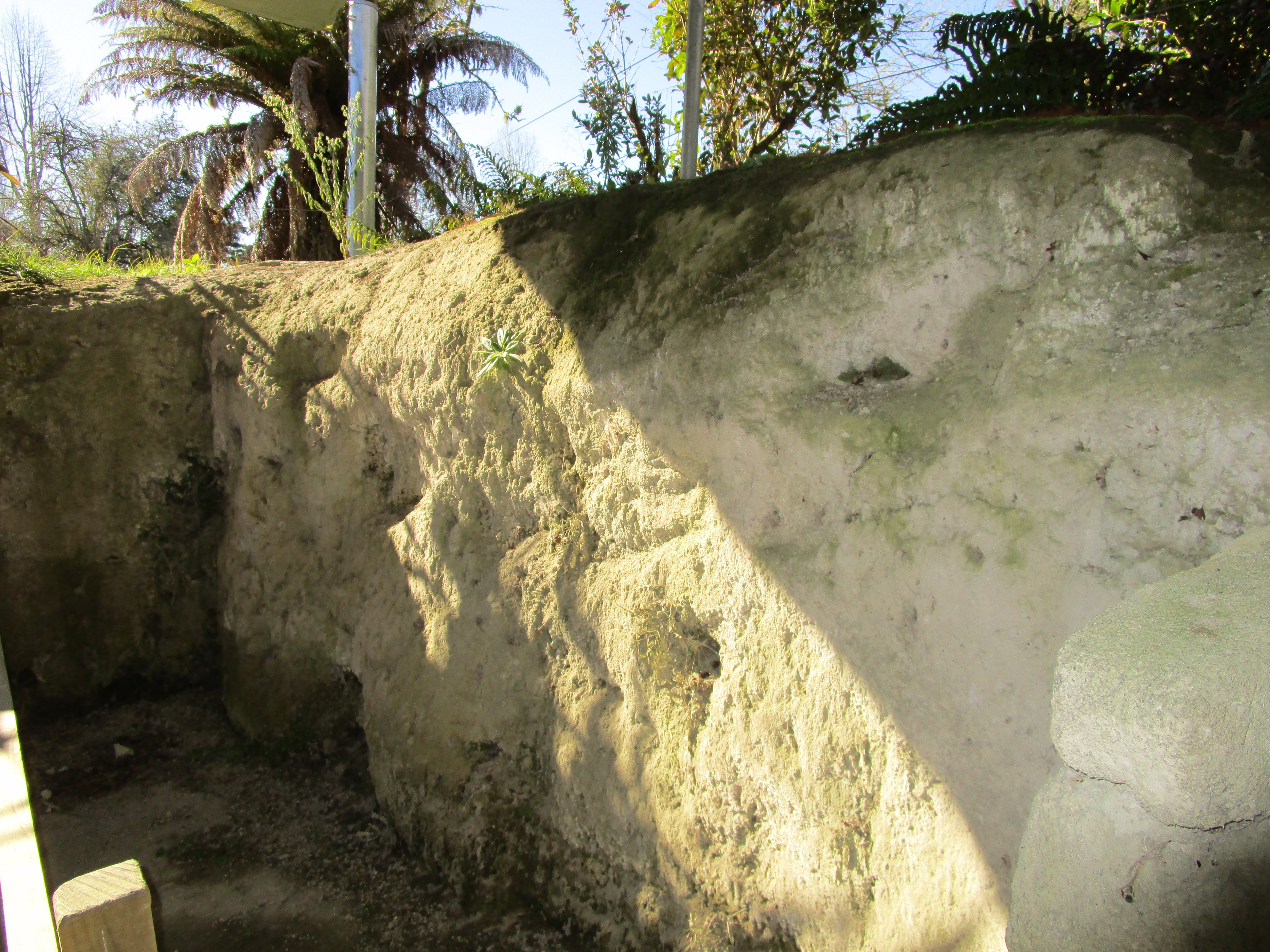
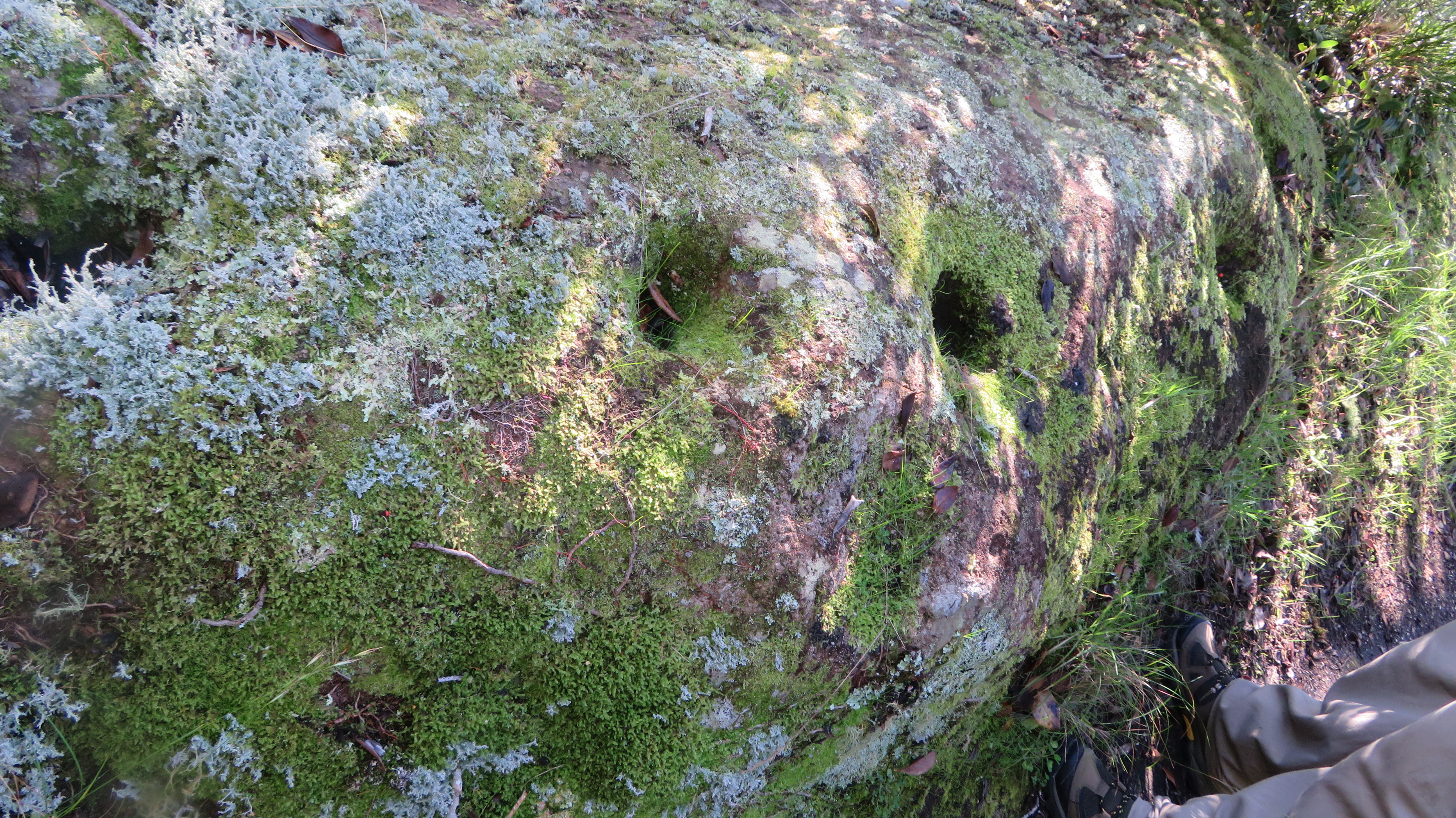
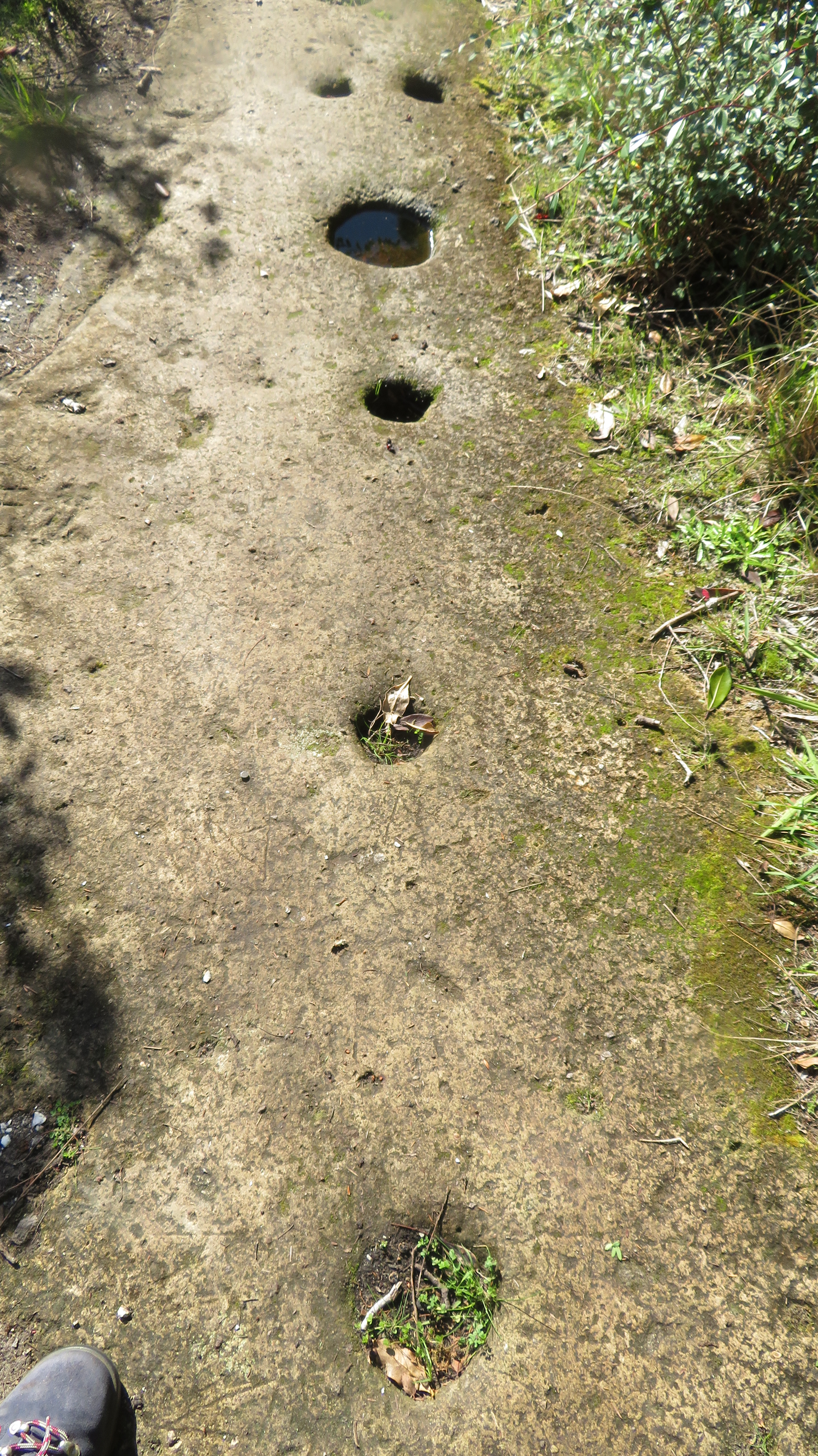
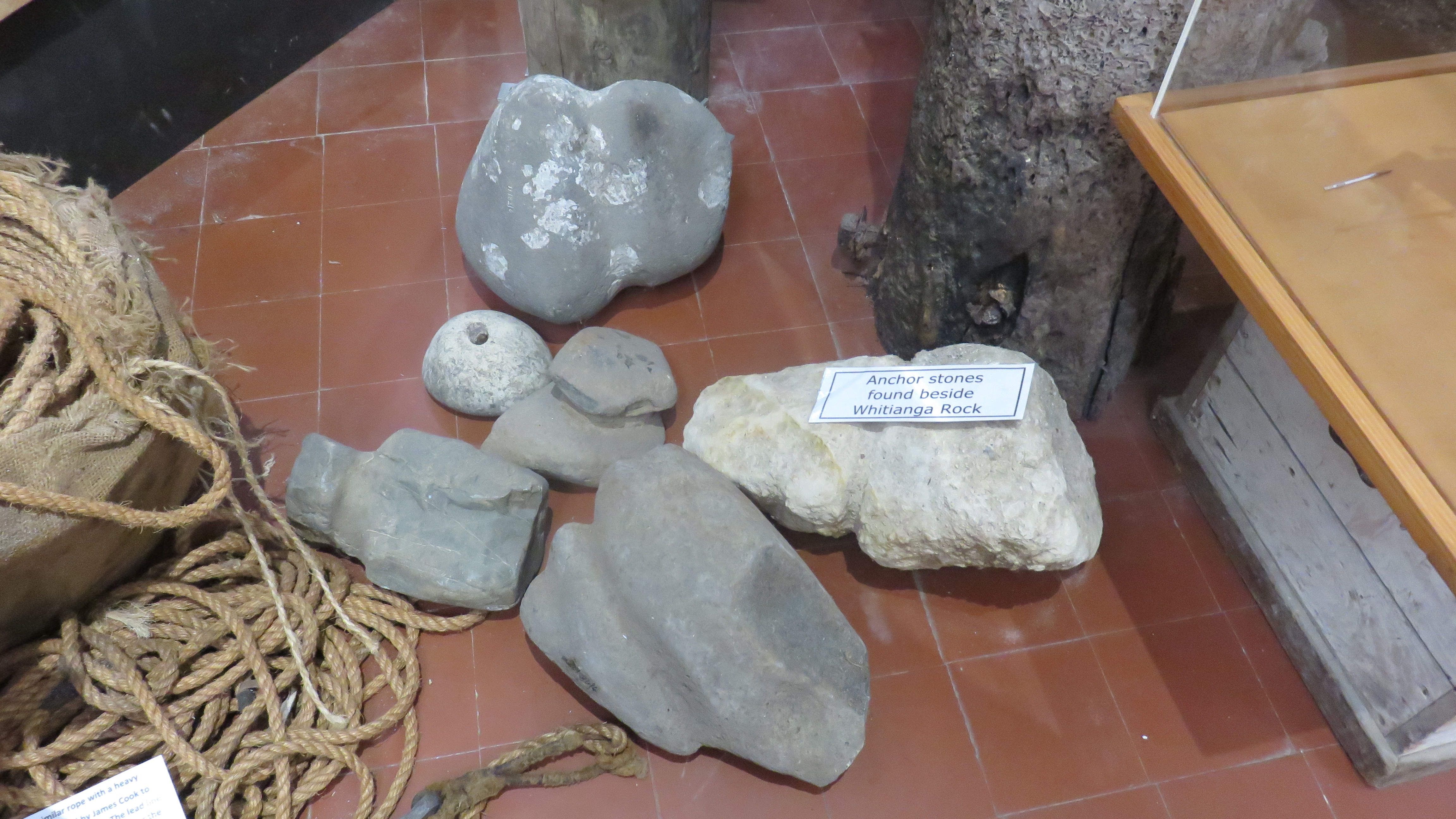
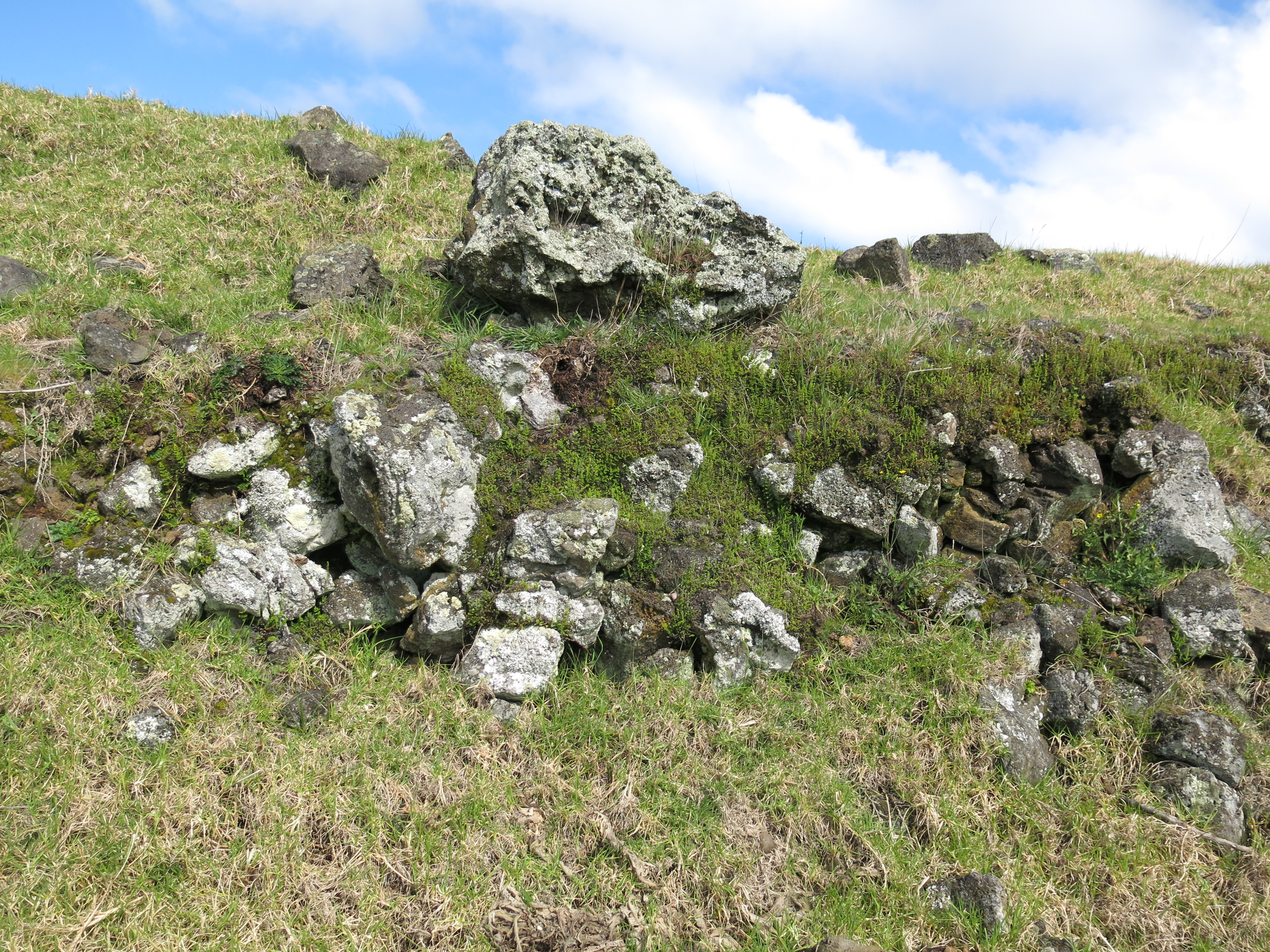
One of the more unusual forms a taniwha can take it that of a log.  In order to identify the taniwha you would be looking for a log that did behave in the manner of regular log, known as Rakau tipua.  On Lake Rotoiti the taniwha Mataura would appear on the water as a huge tree trunk with numerous branches and covered in water weed, particularly on the death of a high-ranking person. When visiting the Kaipara Harbour watch out for a log moving against the current.  It is believed to be the taniwha Humuhumu, the guardian of the Ngati Whatua. 

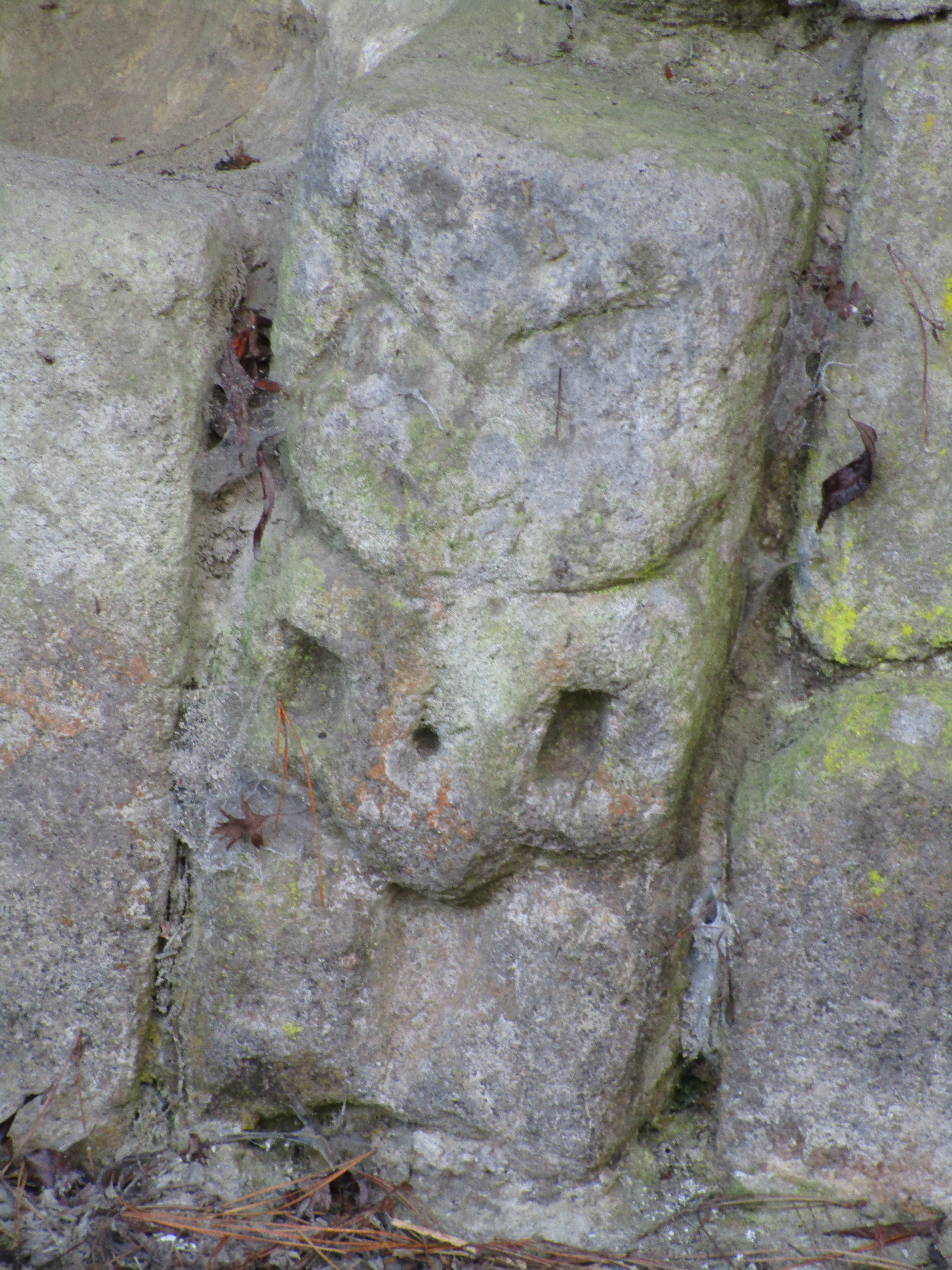
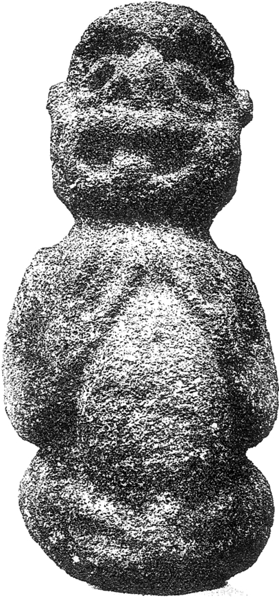
Other taniwha can take a myriad of forms, some can be a strange conglomeration of creatures – native lizards such as the gecko or tuatara feature strongly as do bat wings, shark teeth and octopus tentacles.

A modern rock carving of a taniwha on the shore of Lake Taupo – here their lizard like appearance is emphasised.

So far, we have only looked at those taniwha who are kaitiaki, but not all have good intentions.  Some may have begun this way, as guardians of the people, but it only takes one mistake and the taniwha can turn on the people.

“Because of their role as guardians they watched vigilantly to ensure that the people respected the tapu restrictions imposed upon them, and any violation of tapu was sure to be punished. They were usually held responsible for deaths by drowning; the person must have insulted the taniwha by breaking tapu in some way” (Orbell M. 1995)

 In December 1876, a news article in a Maori language paper told of four young girls who went swimming in a waterhole at Waipapa.  Local tradition knew this place to be the lair of the taniwha Taminamina.  One of the girls swam to the far side of the waterhole where she climbed up onto a rock and started to drink the nectar of the red flowers of the sacred Rata tree. Without warning, the girl slipped into the water, one of the other girls tried to save her but failed.  The water began to froth and swirl and the girls believed it was the taniwha.  The elders were of the firm belief that the girl was punished for breaking tapu and drinking the nectar of the sacred Rata.

Southern Rata near Franz Joseph Glacier (Photo by Graham Rabbitts wikicommons)

In 1955, a photograph was taken on the Whanganui River.  It depicts a swirling mass in the middle of the river and the inscription on the back of the photo reads:

“On many occasions a large flow of water gushes up from the head of the Wanganui river below the bluff of Buckthaughts Redoubt, just past the village of Upokongaro. This phenomenon is accompanied by a loud bubbling noise and small pieces of waterlogged wood and debris are brought to the surface. Few people have ever seen this occurrence and this photograph was taken in 1955 by one of a party of Wellington visitors camping at Mosquito point.”

In another story the guardian (Takere-piripiri) of Otautahonga Pa, a hillfort of the Ngati Raukawa would have offerings of food left below his cave.  One day a gift of eels was mostly eaten by the people who had brought it.  This angered the taniwha and he ate the people instead, unfortunately this gave him a taste for human flesh and he left the pa and went to the mountains where he would prey upon travellers. 

There were though taniwha who were just plain nasty, such as Ngarara Huarau from the Hawkes Bay who just liked to eat people and then there were the taniwha who liked to kidnap beautiful young women to keep as wives.

However, not all is lost because where there is a threat to the people there will always be heroes.  In this case warriors who used their strength and cunning to defeat the taniwha and protect the people. Pitaka, Tamure, Potoru and Ao-Kehu were all famous warriors known for their prowess in defeating taniwha. Tamure had a special mere (greenstone club) which had the power to defeat taniwha.  He is well known for defeating the taniwha at Piha who had a taste for people.  Interestingly, he did not kill this taniwha but wounded it enough that it could not eat people.  The warrior Ao-Kehu hid himself in a hollow log with a shark tooth club and when the taniwha smelt him he swallowed the log whole. Ao-Kehu then hacked his way out of the log and out of the taniwha killing it in the process.

Photo of a drawing of an unknown Maori warrior by Sydney Parkinson (photo by Szilas at the Canterbury Museum Christchurch)

The earliest stories are those connected with the arrival of the first waka.  These stories or traditions are in the style of creation myths adapted to the local landscape.  Hence, many taniwha are responsible for the sinuous rivers, the many inlets in a harbour or in the case of the Porirua taniwha, Awaru, the flat appearance of Mana Island which she crashed into as she was learning to fly. 

Others are stories which serve to identify valuable resources and offer a means of protection of those resources.  Then there are those which all societies have; sagas that glorify desirable human qualities.  For the Maori, the great warriors used both their minds and their strength to defeat the undesirable taniwha. 

The traditions of taniwha are often complex narratives which serve to enforce what was considered acceptable behaviour within an iwi/hapu (tribe/subtribe), whilst at the same time providing reassurance to the people – reasons for why certain events happened.  If a group of travellers went missing in the mountains, the most likely reason was that they did not make the right offerings and were eaten by the taniwha.  Even today the New Zealand bush is not a place for an inexperienced hiker, accidents can and do happen.  Rivers and lakes are deep and full of hazards, drownings are a far too common event, landslides and earthquakes are a regular occurrence.  We are all familiar with the sense of helplessness, the feelings of not being in control.  Attributing such events to the taniwha, a creature you can placate with offerings, or in some cases can hunt and kill, helps to explain such events and at the same time offers a way to take control once more of their world.

Ureia, a kaitiaki taniwha – carved on a poupou (house post) inside Hotuni, a carved meeting house of the Ngati Maru. The building can now be found inside the Auckland War Memorial Museum.

The Buried Village of Te Wairoa – some photos.

On June 10th 1886 Mt Tarawera erupted along a line of craters that extended sixteen kilometres and the space of a few hours the nearby village of Te Wairoa and the world famous Pink and White Terraces were covered in over a metre of volcanic mud and ash.

The death toll for the area was believed to have been as high as 153 – Te Wairoa at the time was a bustling village with two tourist hotels serving visitors to the Pink and White Terraces, two stores, a school, a blacksmith and a bakery.   By the end of the day not a single village house was left standing.

Today the site of Te Wairoa consists of several hectares of fields within which the visitor can walk amongst the excavated remains on the village.  There is also a lovely river walk and a musuem dedicated to the Maori and Victorian artefacts recovered from the site.  The following are a few of the photos which I  took during a visit in 2015.

Some of the displays from the museum

IMG_7867
The remains of the Rotomahana Hotel.

IMG_7868
and the bakers oven…

The unexcavated remains of two of the many houses in the area.


IMG_7857
A reconstruction of a simple Maori house – all of these were destroyed by the mud and ash.  Today their remains are marked by wooden frames and the stones of fireplaces. 


IMG_7861
The hearth inside the above reconstructed house.


IMG_7870
A Maori storehouse found under the ash layer beside the stream.  It is a rare example of the use of stone in building practices.


IMG_7871
A close up of the carving to the side of the storehouse.

IMG_7855

The above is the house of Tuhoto, a 100yr old tohunga (tribal priest) who bore the brunt of the blame for the disaster.  He had openly condemned the people for their decadent lifestyle and had predicted that disaster would fall on the community.  When the mountain exploded, he like so many was buried in his hut and local Maori were so angry they refused to dig him out.  He was eventually rescued by the Europeans (four days later) but died not long after in a sanitorium.


IMG_7864
Inside an excavated house – showing the depth of the mud and ash that fell on Te Wairoa.

For more information on visiting The Buried Village of Te Wairoa go to http://www.buriedvillage.co.nz/

Another article from NZ Geographic on the Tarawera eruption can be found here

The cover photo is of Lake Tarawera with the mountain in the background.


A Tale of Two Pa

The Coromandel is a place rich in Maori history, the most obvious archaeological site are the many pa found on the coastal headlands.  The following are a few photos taken during a weekend in the coastal township of Whitianga.

Before we get to the photos, it is probably necessary for me to give you a brief explanation on what a Pa is, particularly  for those of you who are not familiar with the term.  The word ‘pa’ can refer to any Maori settlement, defended or otherwise, but most commonly it is used to refer to a type of site known as a hillfort – fortified settlements with palisades and defensive terraces.  The majority of pa sites are found in the North Island from Lake Taupo northwards – over 5000 have been recorded to date.  You can read more about Pa here.

The two Pa mentioned in the title of this blog are the Hereheretaura Pa and Whitianga Rock – both were Ngati Hei strongholds, although the latter suffered during a raid by a war party of Ngai te Rangi.  The reserve where Hereheretaura Pa can be found is at the southern end of Hahei Beach is one of two pa in the reserve.  The other – Hahei Pa –  is on the ridge above the track (seen below) but with minimal defensive earthworks unlike Hereheretaura Pa.

IMG_9058
Walking in the Te Pare Reserve – Hereheretaura Pa in the distance.

IMG_9061
Hereheretaura Pa – the lines of banks and ditches can be seen in the early morning light.

IMG_9063
One of several bank and ditch earthworks clearly visible at Hereheretaura Pa.

IMG_9059
The view from Hereheretaura Pa looking northwards.

Whitianga Rock is on the opposite side of the estuary from Whitianga, a short ferry ride across from town takes you to the start point for a walk around the site.  The site is positioned on a thin finger of land jutting into the estuary harbour with steep cliffs on three sides.  By the time Captain James Cook arrived in 1769 the site had already been abandoned, even so it impressed Cook enough for him to state;

“A little with[in] the entrance of the river on the East side is a high point or peninsula jutting out into the River on which are the remains of one of their Fortified towns,  the Situation is such that the best Engineer in Europe could not have choose’d a better for a small number of men to defend themselves against a greater, it is strong by nature and made more so by Art”.

IMG_9069
Information board at the start of the walk.

IMG_9077
House terraces on the landward side.

IMG_9072
The first bank and ditch earthworks and now a path down to Brick Bay.

IMG_9074
Post holes for palisades ground into rock.

IMG_9076
More palisade postholes…

IMG_9083
An artists recreation of the palisade as evidenced by the postholes in the previous picture.

IMG_9084
An artist reconstruction of how the site looked prior to the devastating raid. The line across the middle is the earthwork mentioned above which is now a lane leading to Brick Bay on the southern side.

IMG_9082
Artist reconstruction

IMG_9081
All across the site are numerous shellfish middens – not surprising given the sites position.

IMG_9080
Another midden…

IMG_9078
And another midden…

IMG_9075
The view from the top over to Whitianga township.

Ahuahu – Archaeology on Great Mercury Island.

Yesterday was the first day of New Zealand Archaeology Week, it is the first time in New Zealand that archaeology has been celebrated with its own ‘week’.  As part of this celebration of the past I attended a lecture at the Auckland Museum about the long term archaeological project being undertaken on Great Mercury Island entitled The Changing Face of Archaeology – The application of technology to the Ahuahu Great Mercury Island Archaeological Project.  The lecture was delivered by Louise Furey, Rebecca Phillipps and Joshua Emmitt.

Great Mercury Island is situated off the east coast of the Coromandel Penninsula and as the name would suggest is the largest island in the Mercury Group.  The purpose of the project is to examine the history of the Maori occupation on the island.  As an island it provides the ideal opportunity to study a landscape as a whole and how people utilised and interacted with that landscape over time.  This post is not a comprehensive study of the archaeology of the island, it is only a brief foray into what is a complex landscape.  I have included links for those who wish to read more about the work that is being carried out by the archaeologists.

Mercury Island Chart Picture

There is certainly plenty of archaeology on the island to keep the archaeologists busy for quite some time.  Of that which is visible above ground there are twenty-three Pa (defended sites with ditches and banks), large areas of gardens (recognisable by the lines of cleared stones), kumara storage pits, stone working sites and shell middens.  As recent excavations have indicated there is even more evidence lying beneath the surface.

Prior to the current project the island was subject to two other single event excavations.  The first being undertaken in 1954 in the early days of New Zealand Archaeology by then then newly appointed lecturer in archaeology at the University of Auckland Jack Golson.  With a party of archaeology students he excavated a terrace on the Stingray Point Pa (Matakawau) identifying two kumara pits, each pit had more than 80 post holes suggesting a long period of rebuilding/maintenance of the roof structures.  Golson’s work was never published although this is soon to be rectified.

a17369enz
A reconstruction drawing of how such storage structures may have looked like.

In 1984 Professor Geoffrey Irwin of the University of Auckland excavated a Pa in Huruhi Harbour and in 2009 a sever storm eroded about ten metres of sand from White’s Beach to reveal a shell midden with a rich charcoal layer.  Bones from dogs and fish were found within the midden which was dated by radiocarbon to c.1400AD.

In 2012 the University of Auckland and the Auckland Museum began working in conjunction with Ngati Hei on the previously mentioned long term project.  The island is visited on regular basis with the main excavation season being held in Febuary, which is also a training dig for archaeology students from the university.  The lecture held yesterday focused on some of the finds from the excavations such as the large quantities of obsidian flakes, some of which come from as far afield as Taupo, Mayor Island and closer to home on the Coromandel Peninsula.  Although the work/research is still ongoing it is becoming clearer how important Ahuahu is in our understanding of the early prehistory of New Zealand.

IMG_12931

Field School Dig Diaries

Because ultimately excavation is destruction it has long been universally acknowledged how important it is to record as much detail as possible.  In the past this was often a labour intensive activity, if done at all.  Today’s archaeologists now have a raft of technological tools at there disposal and at Great Mercury they are taking full advantage of what is available.  The technology being used on site to record every find, feature and layer includes total stations, laser scanners and drones are in everyday tools for these excavations.

One area that was investigated was a blackened sand layer about 20cm deep (part of a sand dune) which had been exposed by erosion in Coralie Bay. A 5mx5m square was excavated, with all finds being collected and their position recorded. An interesting feature was a series of stones seemingly sitting on the surface, once excavated it revealed itself to be a windbreak protecting a cooking area. On its eastern side a several circular, shallow fire scoops were found, along with postholes for shelters and a number of obsidian flakes.

Further excavation revealed a new layer of information some 30cm below – here the bones of seal, white pointer shark teeth and lots of obsidian flakes were found. This part of the site was interpreted as a butchery area.

This is only a brief rundown of some of the work being done on Ahuahu and for more information please follow some of the links below. You Tube has several video’s of work being done on the island – the following are links to a couple to get you started if you are interested.

Daily video diary

Archaeology is Amazing

On the Auckland Museum website there is also information on the project  – Great Mercury Island Expedition.

The Making of Maori Society

Variable horticulture within a small garden on Ahuahu

The Mercury Bay Museum

Whenever I go somewhere new my first stop (after a leg stretch and a coffee) is usually to the local museum.  I have a deep fondness for museums and the people who put their heart and soul into their creation and upkeep.  The Mercury Bay Museum was one of those musuems where the peoples love of their town and surroundings was evident.

Our first visit to Whitianga on the Coromandel Peninsula was in the winter and unfortunately the musuem was closed however we had much better luck on our second visit.  Situated on The Esplanade just opposite the wharf, this small but well thought out musuem tells the history of the area beginning with Kupe who gave the local area the name Te Whitianga nui a Kupe or The Big Crossing Place of Kupe.

Originally the site of the museum was an urupa or cemetary for  the local Maori iwi called Ngati Hei up until the 1870s.  But when European curio hunters violated the tapu of the site members of the Ngati Hei removed the remains of their people and reinterred them safely elsewhere.  The Maori history of the area represents only a small part of the musuem and was my one criticism of this otherwise outstanding museum.  The displays of Maori artefacts were not clearly labelled and the display was largely restricted to the walls of the walkway as you entered and could be easily overlooked – personally I think the museum designers may have missed a beat in down playing the 800 years or so of Maori history.

IMG_1657
Examples of Tahanga basalt stone tools (and other random stone tools) – this material was traded far and wide – the lack of information on this dispay was disappointing, only personal knowledge helped be identify what the objects were.
IMG_1658
Poster on the wall about the Tahanga basalt quarry at Opito
IMG_1659
A display of Maori digging sticks.

The Museum is very child friendly – my daughter in particular enjoyed dressing up as Captain Cook who visited the area in 1769 on the HMS Endeavour.  It was he who gave the area its European name of Mercury Bay after taking his longitude and latitude from the viewing of the transit of the sun across the planet Mercury.

IMG_1663
Time to dress up…

As you head further into the museum there is a significant display on the wreck of The Buffalo which gave the local beach its name (Buffalo Beach), the Kauri room and shanty shack – Kauri were an important part of the economy in the 1800s, either as logs or from the fossilied resin/gum – a 1950s school room, a 1960s bach, a smithy, two rooms displaying birds of the area and displays regarding the importance of the fishing industry (commercially and recreationally) and agriculture to the area.  A butter churn display harks back to the days when the museum was once a dairy factory producing butter from cream from all over the Mercury Bay area.  The musuem also holds an extensive collection of photos covering the life and times of Mercury Bay and its residents.

A Second Visit to the Mercury Bay Museum – February 2022

It had been a while since we had visited the Coromandel and even longer since we had been to Whitianga, so after many months of not venturing far from home we decided to have a short weekend break away.

I had heard that the Museum was in the throes of upgrading and improving many of its exhibits. A visit was needed to see for myself the work that was being done. Although the main bones of the museum are still intact and there is still work to be done, it was obvious the direction the museum was taking. Early Maori and their subsequent interaction with James Cook and his crew when he arrived in the bay was the focus for the front section of the museum.

The rest of the museum was divided into distinct sections, the story of the Buffalo now had it’s own dedicated space, along with the story of the Kauri forests and the wildlife (past and present) of the area. Farming and fishing – the two main industries of the Coromandel – also had obvious and dedicated areas. Within each space there were opportunities for visitors to engage with the exhibits such as the ‘excavation’ of remains from the Buffalo or the watching the process of a milking pump.

All in all it was another enjoyable visit to the Mercury Bay Museum – I look forward to visiting again when all the work has been completed. The following are a few photos of this most recent visit.

A good use of space under the ramp leading down into the museum connecting the panels on early Maori to the time of Cook’s visit to the bay.
An audio visual presentation of Captain Cooks visit to the area alongside sections of his journals.
The brand new section on the past milling/logging and long term protection of the kauri forest.
An information board on the different types of fishing methods – good to see that traditional methods have been integrated as part of the story.
Everyone’s favourite – the moa…
There is a tendency for museums to over stuff the displays when it comes to rural life in the past – it is often hard to absorb information when there is so much clamoring for your attention. The above display was easily digestible with just the right amount of information to hold a visitors attention.
A small but perfect display on the Women’s Institute.
www.mercurybaymuseum.co.nz

Early Archaeology in Auckland – Ōtuataua Stonefields.

There are not many places within the city of Auckland where a person is able to get up close and personal with the early archaeology of the region, but the Ōtuataua Stonefields is one such place.  Although this small pocket is classed as a protected site, it is part of a much wider area called Ihuamāto which sadly is under threat by developers.  The stonefields did not exist in isolation and whilst the archaeology is not obvious  to the untrained eye, it is undoubtedly there.  It would be shameful if the council allowed work to proceed with out a full archaeological investigation.  In general attitudes in New Zealand towards archaeology is a case of “there’s not a lot of archaeology here” with the implication because we do not have the lengthy timeframes as elsewhere in the world it is not as important.  But this is erroneous and a result of a lack of knowledge –  there are over 70,000 archaeological sites listed in New Zealand…The stonefields and Ihuamāto are an important part of New Zealand’s very early history and to say otherwise would deny a people their past and demonstrate a dismal lack of understanding.

otuataua
Aerial view of the stonefields – the pale lines are stones piled along the natural ridges.

The story of this landscape begins much further back in time with three significant eruptions and subsequent lava flows that began some ninety thousand years ago and ended around fifteen thousand years ago. As with much of the isthmus of Tamaki Makaurau Auckland the volcanic activity served to create rich, well drained soils ideal for gardening.

Two hundred years ago there were some 8000 hectares of volcanic stonefields in the Auckland area, today the 100 hectare reserve of Ōtuataua is all which remains.  Dated to around 1300AD and situated near the international airport the reserve was established in 2001 to protect this important part of the archaeological record and is one of the last places where we can see large scale remains of how people once lived and worked in the volcanic areas of Auckland.

When the first Polynesians arrived in Aotearoa they bought with them the full range of tropical plants however the shorter growing season and colder temperatures meant that many of these tropical plants could not be grown.  Only plants such as the kumara (sweet potato), taro, yams and gourds had any success, particularly in the volcanic stonefields of Auckland.

There are two opposing theories as to how the settlement and gardens evolved at Ōtuataua –

  1. The initial focus was around the freshwater springs at the edge of the lava fields which then expanded to the volcanic cones later in the mid fourteenth to fifteenth centuries.
  2. Horticulture began on the volcanic cones and expanded outwards onto the lava fields; with the fortification of the cones occurring at a later date.

At Ōtuataua it is possible to see low mounds of the volcanic scoria stone scattered throughout an area referred to as the mound garden used mainly to grow kumara they extended the growing season by about a month.

“The mounds were built as special garden plots, which used the stone’s heat absorbing properties to help warm the earth and retain moisture.  Archaeologists have found that these types of mounds often contain specially modified soil, with added organic matter and ground shell.”

(from ‘The Ōtuataua Stonefields – Official Opening Commemorative Brochure’ Manukau City Council)

img_0060
The mound garden looking towards the later European dry stone wall.

It is safe to say that there is probably not a single stone which has not been moved by human hands. Walking towards the sea, you come across an area of low hills and gullies. The gully floors seem unnaturally free of stone, here the stone has been stacked on top of the hillocks to leave the gully floors free for cultivation.

On nearby Puketūtū Island, similar gardens were once present (very little if nothing remains of them today). In 1938 G. Fairfield recorded being told by a kaumātua from Māngere that “…each cultivation and sheltering wall was named after a particular ancestor or historical event…giving family groups their rights to occupy certain parts of the garden. In the corners of each of these walls there were upright stones that were never moved and considered tapu as they marked the limits of each family unit.” (from Shfiting Grounds: Deep Histories of Tamaki Makaurau Auckland L. Mackintosh pp29)

It would be fair to say that the same was occurring at Ōtuataua and beyond, thus creating a landscape that was deeply intertwined with the identity of those who lived and worked upon it.

img_0061
The cleared gullies of the gardens as seen from the pā – the Manakau harbour in the background.
img_0058

Other interesting archaeological features at Ōtuataua include the pā (hillfort or defended settlement) which utilised the volcanic cone.  Auckland has many volcanic cones, all of which were used and settled by the Māori throughout history.  Here at Ōtuataua it is no different. Unfortunately this particular cone has been extensively quarried for scoria before the site became a reserve resulting in the loss of a large part of the pā. However, it is still possible to make out the terraces on the southern side – these are the level areas cut into the lower slopes and were where Māori lived.


Although the presence of a defensive structure such as the pā would suggest a time of unrest much of the Ōtuataua area consists of undefended settlements and gardens which tells a different story. One which is often left out of the histories. Past interpretations of pā have seen them as solely defensive structures used during periods of warfare and whilst this may be true on one level, it is likely that similar to the gardens, they represent more than the utilitarian. It has been recently suggested that pā could also have been part of the identity of the wider group/iwi, having a great deal to do with display and status (see another article on Kauri Point). When seen as a complete landscape the story of Ōtuataua becomes more than just gardens, houses and pā.

A second interesting feature is the site referred to as ‘The Big House’.  On an outcrop about half way between the mound garden and the gullies is a rectangular outline of stone.  This is believed to be the foundation of what was once a large house or structure, nearby are several shell middens.  Having never been excavated it is difficult to say what this structure was used for but the presence of the shell middens on the slopes below would indicate meals were eaten here.  Perhaps it was a communal place to share food whilst working in the gardens?

All over Ōtuataua shell middens can be found, not surprising given the proximity to the coast.  Fishing, shell fish gathering and horticulture were the mainstays of the local economy.

img_0063
A shell midden – the small white flecks are pieces of shell, note the deep rich colour of the soil, perfect for growing crops.
img_0066
This large mound on the edge of the pā is a very substantial midden…

In Polynesia crops such as kumara are left in the ground until they are needed however here in New Zealand with its cooler climate the early settlers found they could not do this as the kumara will rot. Instead it became necessary to harvest the kumara and store it. At Ōtuataua the visitor will occasionally come across a shallow depression in the ground, roughly rectangular in shape and usually found on slopes or ridges (for good drainage).  These are all that remains of the storage pits for kumara.  Originally these pits would have had timber walls and thatched roofs.  It is interesting to note that the storage pits here at Ōtuataua are outside of the defended pā, further evidence that the people felt secure and safe here on the edge of the Manukau Harbour – war was not as endemic to Tamaki Makaura as previously thought.

a17369enz
A reconstruction drawing of how a kumara storage structure may have looked.


Above right is a depiction of a kumara storage pit with its timber frontage. On the left is a Rongo stone – these are representations of the god of agriculture and peace. They were considered tapu and left in the fields to encourage fertility of the land.

NB – During my visit to the stonefields, trying not to lose both the kids and the dog I was walking along the edge of a eroded shell midden when my eye was caught by an unusual stone.  Unusual because it was not scoria and was very smooth on one side.  The flip side was shaped to fit into the palm of your hand and although I am not much of an expert I am reasonably certain this was a rubbing stone for turning root vegetables such as taro or fern roots into pulp.  A necessary procedure if you wanted to eventually eat it.


See the following article for more information on Otuataua  – Photo-essay: Ihumatao and the Otautaua Historic Reserve

Reading – L. MacIntosh Shifting Grounds: Deep Histories of Tamaki Makaurau Auckland Bridget Williams Books 2021.

img_0059


A Day Trip to Kawau Island

Blue sea, blue sky, warm sunshine and a gentle breeze.  It was a perfect day for a trip to the beautiful island of Kawau in the Hauraki Gulf .

Kawau Island is roughly 8 kilometers long and 5 kilometers wide, its highest point is Mt Grey at 182metres above sea level.  Kawau is the Maori word for cormorant and although these birds may appear plentiful today it is undoubted that in times past they would have been far greater in number.  For those wishing to experience island life access is by the service known as the Mail Run. The ferry to the island leaves from the seaside hamlet of Sandspit, just north of Warkworth and about an hour from Auckland. Full of day trippers slathered in sunscreen it visits the various wharves dotted along the sheltered side of the island delivering the mail, groceries and other goods.  For the visitor it is a good introduction to an island which has only two short private roads and where the majority of properties rely on access to the sea.  Neighbours visit neighbour either on foot or by boat and kayak.

img_4739

School House Bay – there is no longer a school on the island. The few school age children go to school on the mainland.

Island History

Prior to the Europeans Kawau was often fought over by local Maori.  During the 18th century a ‘pirate’ like group of Maori lived on the island – there are at least three known pa sites (two on Bon Accord Harbour and one in the north of the island).  According to tradition the Kawau Maori would attack other Maori travelling around the island, something which was not tolerated for long.  Eventually, other local iwi (tribes) from the mainland banded together and attacked the Maori of Kawau.  Those on the island were completely massacred and tradition says a large feast ensued at Bostaquet Bay.  A tapu was placed on Kawau making it no-go area for Maori – the tapu is still in place.

The next important phase of the history of the island began in 1842 with the discovery of copper and manganese.  Miners were brought in from Wales and Cornwall to work the mines and smelting works.  The population of the island at this time was approximately 300.

The remains of the smelting works can be seen in Bon Accord Harbour just along from the present day yacht club.  On a small point between Dispute Cove and South Cove there is also the ruins of pumphouse constructed to alleviate flooding issues.  The pumphouse would not look out of place in Cornwall.  In 1844/45 the mine produced some 7000 pounds of Copper which represented a third of Auckland’s exports for that year.  Unfortunately issues with flooding, shipping and infighting resulted in the mines being closed down in 1855.

received_512183903808061received_2165629283613444

In 1862 Sir George Grey, then the Governor of New Zealand paid 3,700 pounds for Kawau Island and turned it into a private retreat.  He turned the former mine managers house into the imposing mansion you see today and imported many exotic plants and wildlife to the island.  In 1888 Sir Grey sold Kawau and Mansion house had several owners and in 1910 it became a guest house and a popular retreat for Aucklanders.  The last private owner sold the house in 1967 to the Government for inclusion in the Hauraki Gulf Maritime Park.

img_4750
Mansion House, Mansion House Bay – the ferry drops people off here to swim, picnic and walk island paths.

However it was not until the late 1970s was a plan put together to preserve the historical character of the island and thus the house.  Today 10% of the island is in public ownership as the Kawau Island Historic Reserve (and includes Mansion House and Bay) which is administered by the NZ Department of Conservation.   One of the many ongoing issues faced by the island is the damage done to the native flora and fauna by Sir Grey’s introduced species, namely the wallabies and possums.  Both animals have been responsible for the destruction of much of the native bush.  However, slowly but surely the tide is turning and now there are kiwi, bellbirds, tui, kereru and more returning to the island.  Kawau Island is in fact home to two thirds of the entire population of the North Island weka.

img_4753
One of the many weka who frequent the picnic benches…


Kawau Island 2022

It was another sunny day and the ferry ride out to Kawau was as always a lovely way to spend the day. Unlike the previous visit, several years earlier, Mansion House was open to visitors. An opportunity not to be missed. 

The following photos are of the interior of the house, in the main room there is a display of ethnographic and Maori items loaned to the Mansion House from the Auckland Museum. 


Life has been a little strange in the last two years but spending time on the sea and on Kawau was the much needed balm to soothe those frayed edges. Its peace and tranquility (even with peacocks) allowed the mind and soul to reset itself and I for one came home feeling refreshed and ready for whatever else might come my way.

It is a highly recommended day trip…