
There are not many places within the city of Auckland where a person is able to get up close and personal with the early archaeology of the region, but the Ōtuataua Stonefields is one such place. Although this small pocket is classed as a protected site, it is part of a much wider area called Ihuamāto which sadly is under threat by developers. The stonefields did not exist in isolation and whilst the archaeology is not obvious to the untrained eye, it is undoubtedly there. It would be shameful if the council allowed work to proceed with out a full archaeological investigation. In general attitudes in New Zealand towards archaeology is a case of “there’s not a lot of archaeology here” with the implication because we do not have the lengthy timeframes as elsewhere in the world it is not as important. But this is erroneous and a result of a lack of knowledge – there are over 70,000 archaeological sites listed in New Zealand…The stonefields and Ihuamāto are an important part of New Zealand’s very early history and to say otherwise would deny a people their past and demonstrate a dismal lack of understanding.
The story of this landscape begins much further back in time with three significant eruptions and subsequent lava flows that began some ninety thousand years ago and ended around fifteen thousand years ago. As with much of the isthmus of Tamaki Makaurau Auckland the volcanic activity served to create rich, well drained soils ideal for gardening.
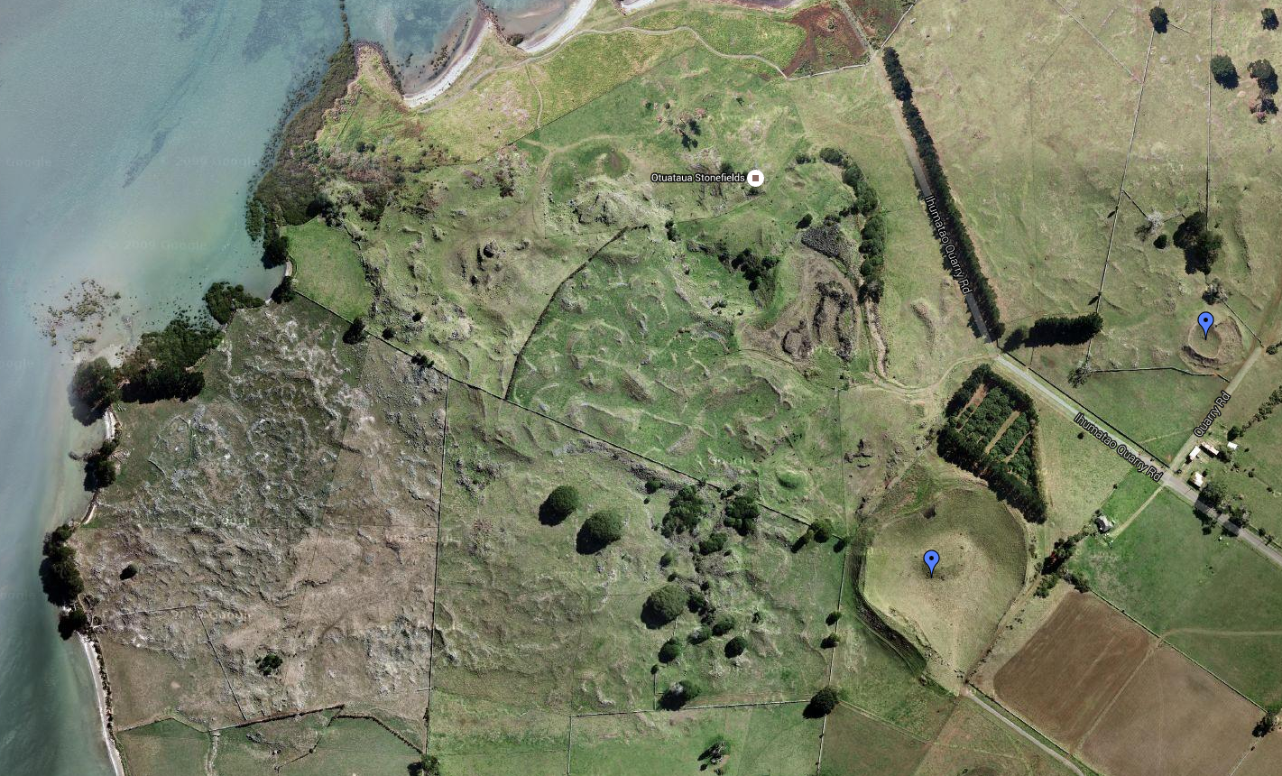
Two hundred years ago there were some 8000 hectares of volcanic stonefields in the Auckland area, today the 100 hectare reserve of Ōtuataua is all which remains. Dated to around 1300AD and situated near the international airport the reserve was established in 2001 to protect this important part of the archaeological record and is one of the last places where we can see large scale remains of how people once lived and worked in the volcanic areas of Auckland.
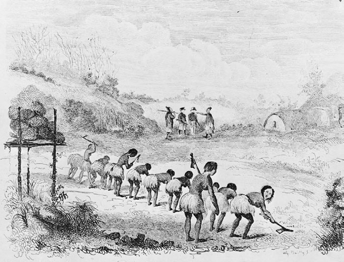
When the first Polynesians arrived in Aotearoa they bought with them the full range of tropical plants however the shorter growing season and colder temperatures meant that many of these tropical plants could not be grown. Only plants such as the kumara (sweet potato), taro, yams and gourds had any success, particularly in the volcanic stonefields of Auckland.

There are two opposing theories as to how the settlement and gardens evolved at Ōtuataua –
- The initial focus was around the freshwater springs at the edge of the lava fields which then expanded to the volcanic cones later in the mid fourteenth to fifteenth centuries.
- Horticulture began on the volcanic cones and expanded outwards onto the lava fields; with the fortification of the cones occurring at a later date.
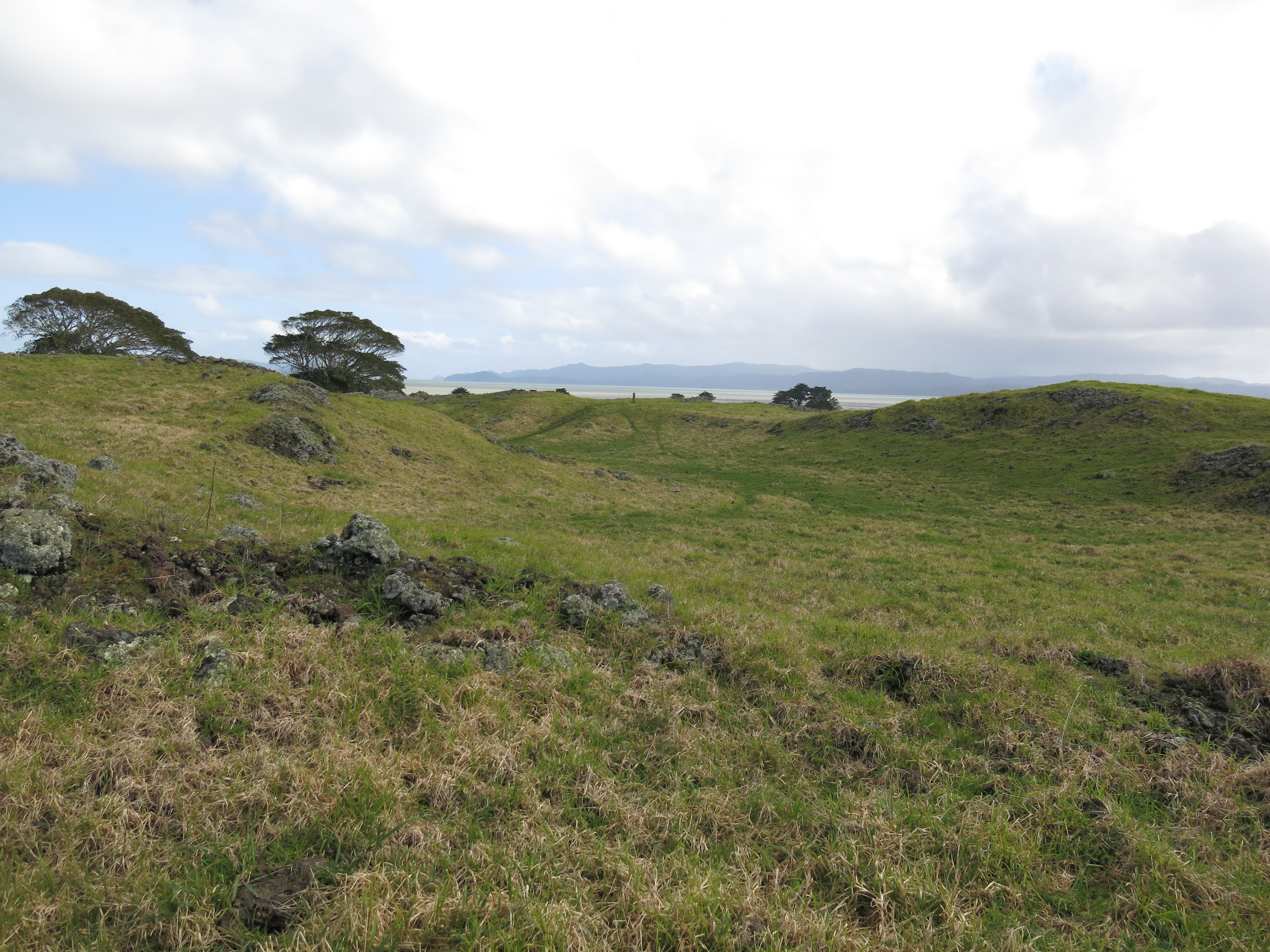
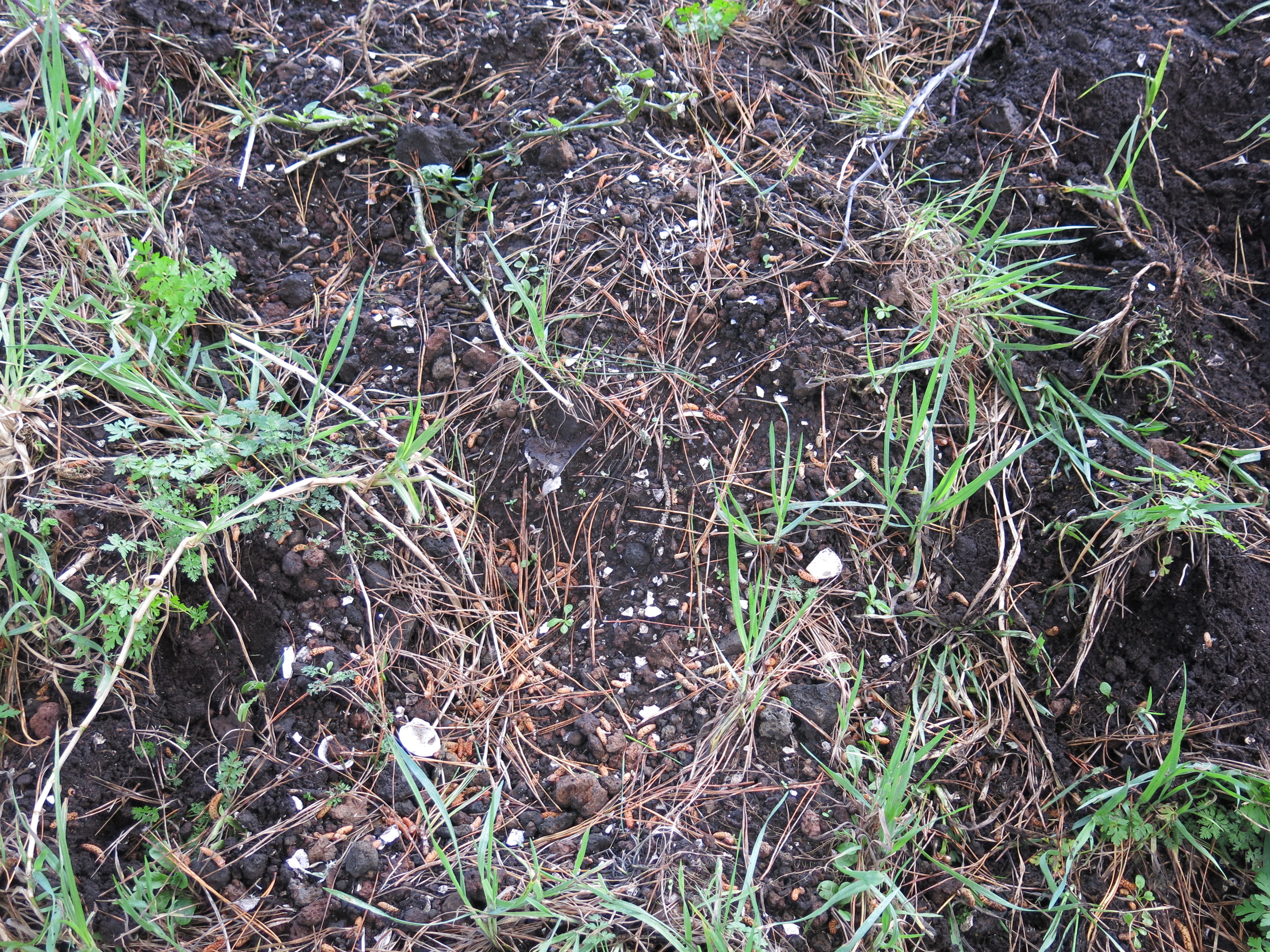
At Ōtuataua it is possible to see low mounds of the volcanic scoria stone scattered throughout an area referred to as the mound garden used mainly to grow kumara they extended the growing season by about a month.
“The mounds were built as special garden plots, which used the stone’s heat absorbing properties to help warm the earth and retain moisture. Archaeologists have found that these types of mounds often contain specially modified soil, with added organic matter and ground shell.”
(from ‘The Ōtuataua Stonefields – Official Opening Commemorative Brochure’ Manukau City Council)
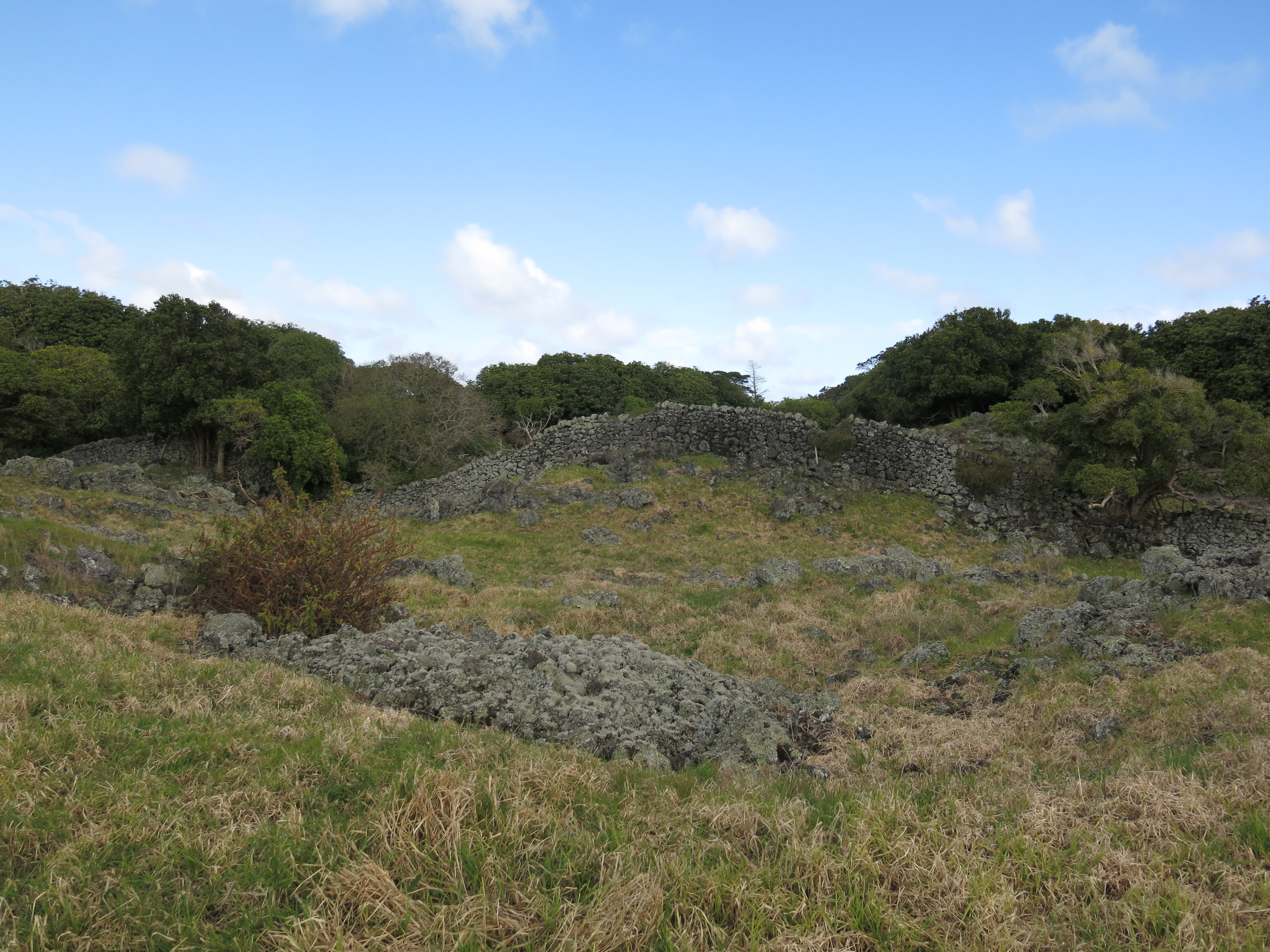
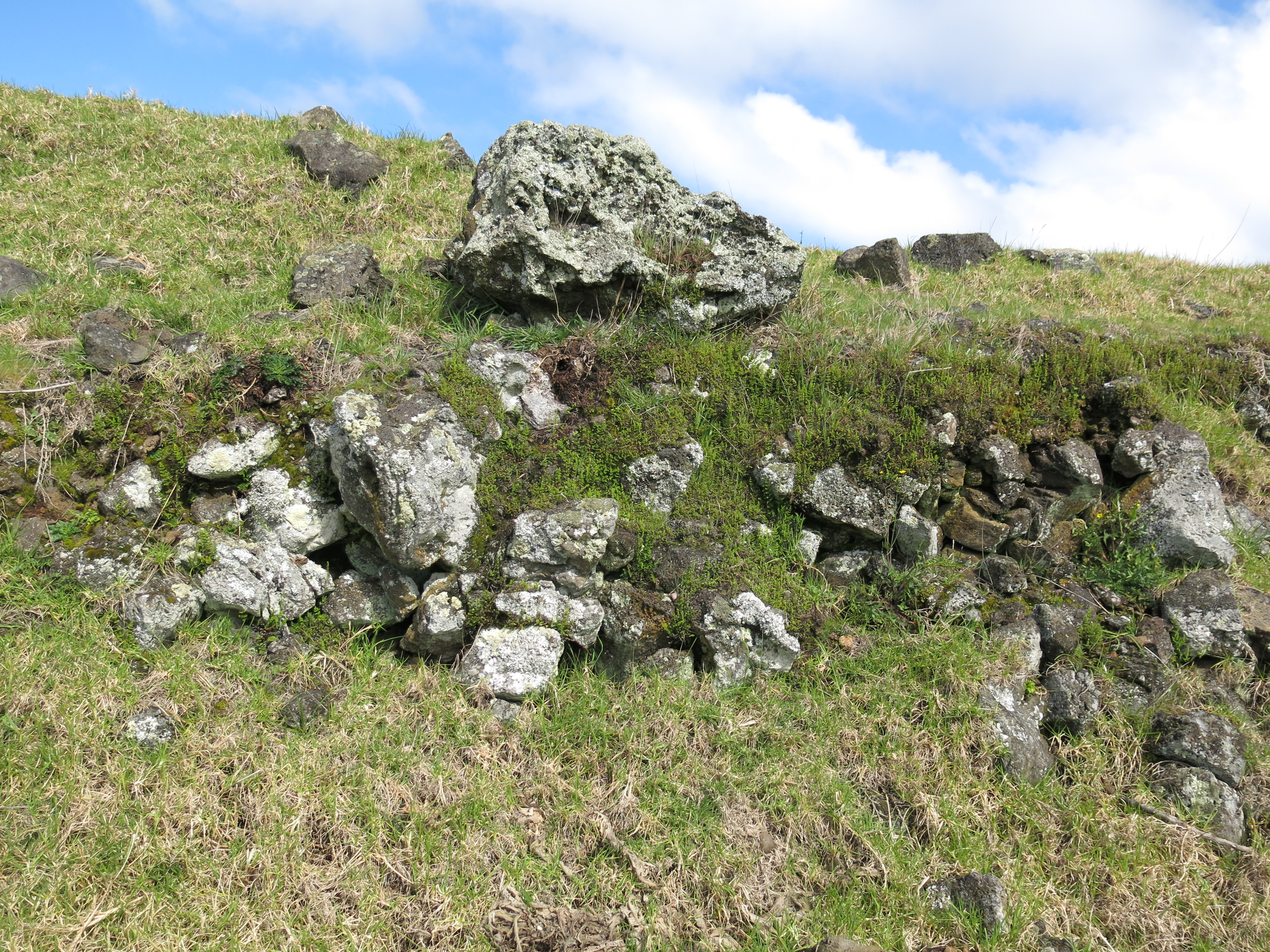
It is safe to say that there is probably not a single stone which has not been moved by human hands. Walking towards the sea, you come across an area of low hills and gullies. The gully floors seem unnaturally free of stone, here the stone has been stacked on top of the hillocks to leave the gully floors free for cultivation.
On nearby Puketūtū Island, similar gardens were once present (very little if nothing remains of them today). In 1938 G. Fairfield recorded being told by a kaumātua from Māngere that “…each cultivation and sheltering wall was named after a particular ancestor or historical event…giving family groups their rights to occupy certain parts of the garden. In the corners of each of these walls there were upright stones that were never moved and considered tapu as they marked the limits of each family unit.” (from Shfiting Grounds: Deep Histories of Tamaki Makaurau Auckland L. Mackintosh pp29)
It would be fair to say that the same was occurring at Ōtuataua and beyond, thus creating a landscape that was deeply intertwined with the identity of those who lived and worked upon it.
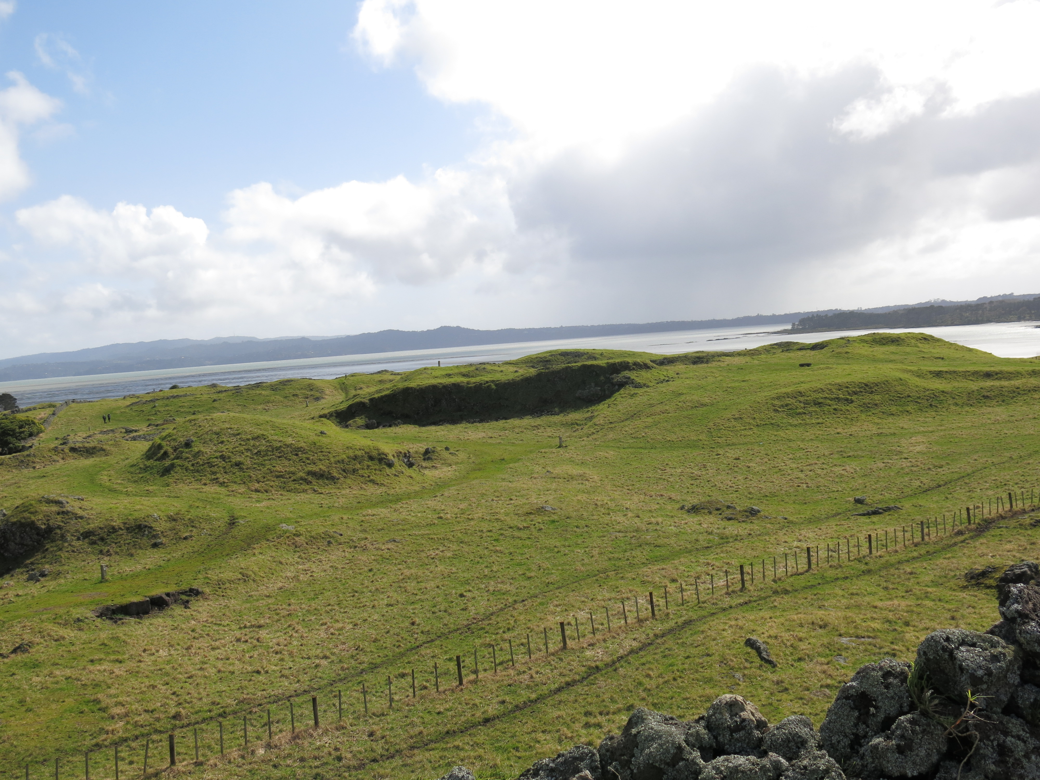
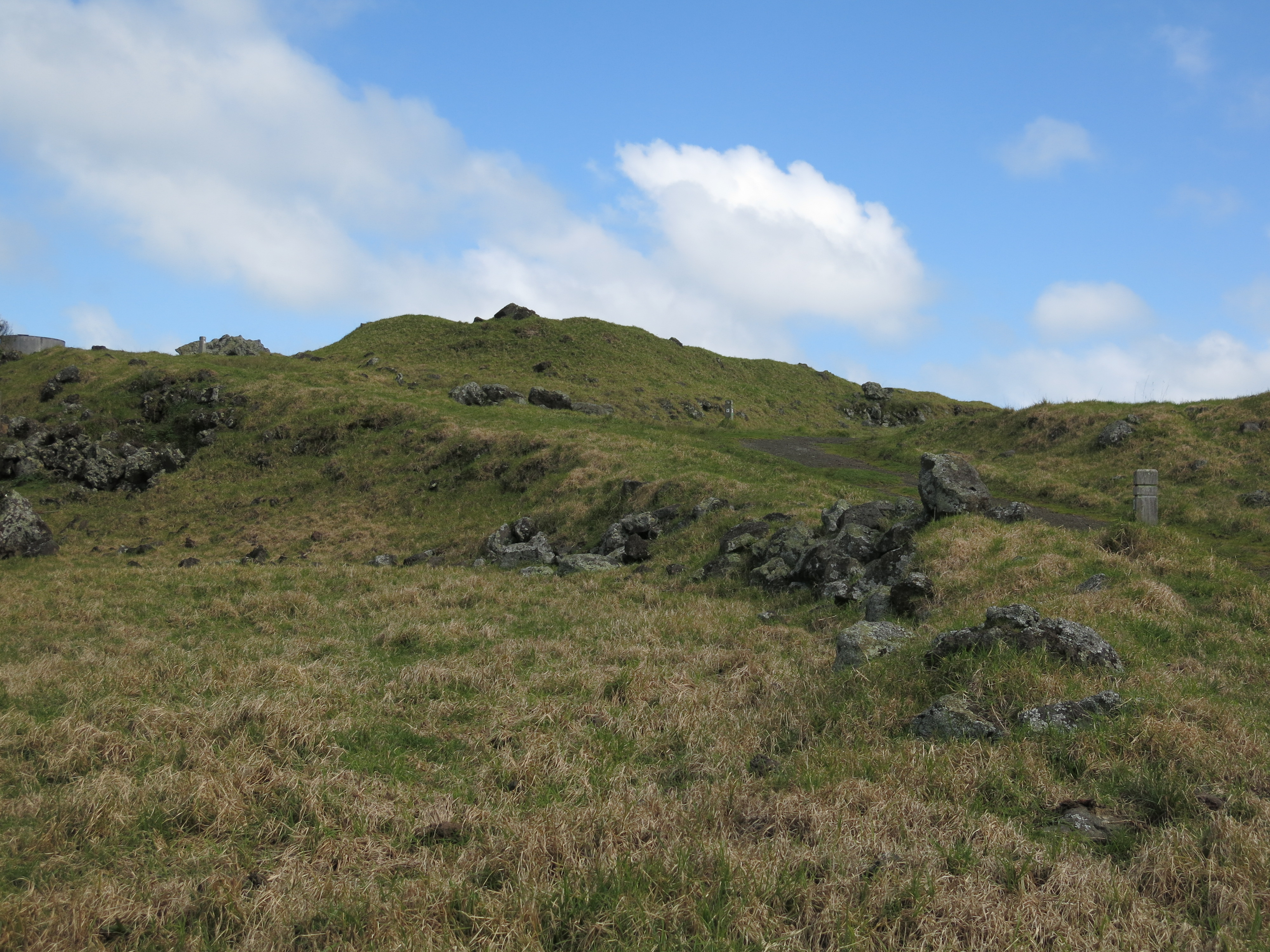
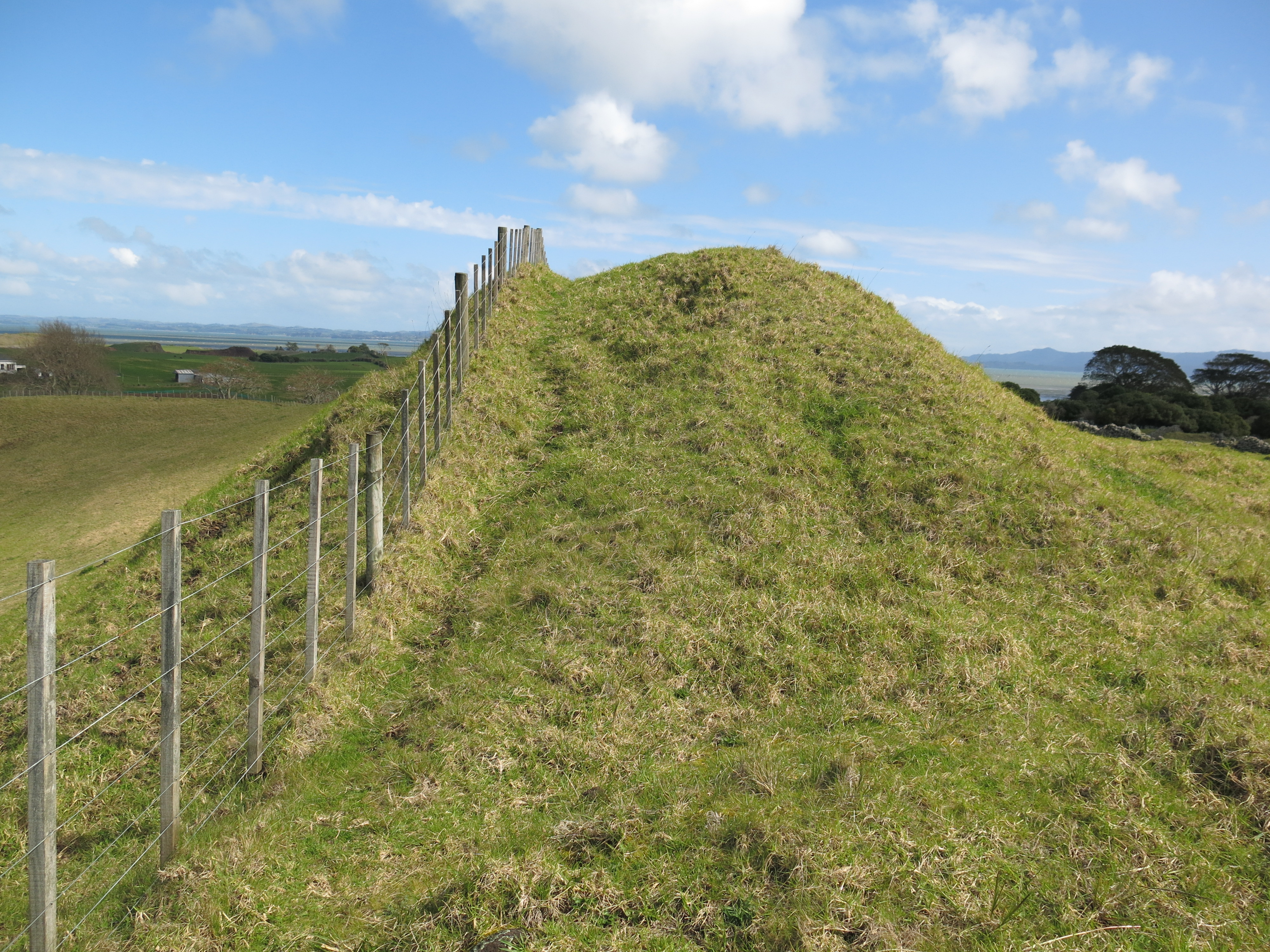
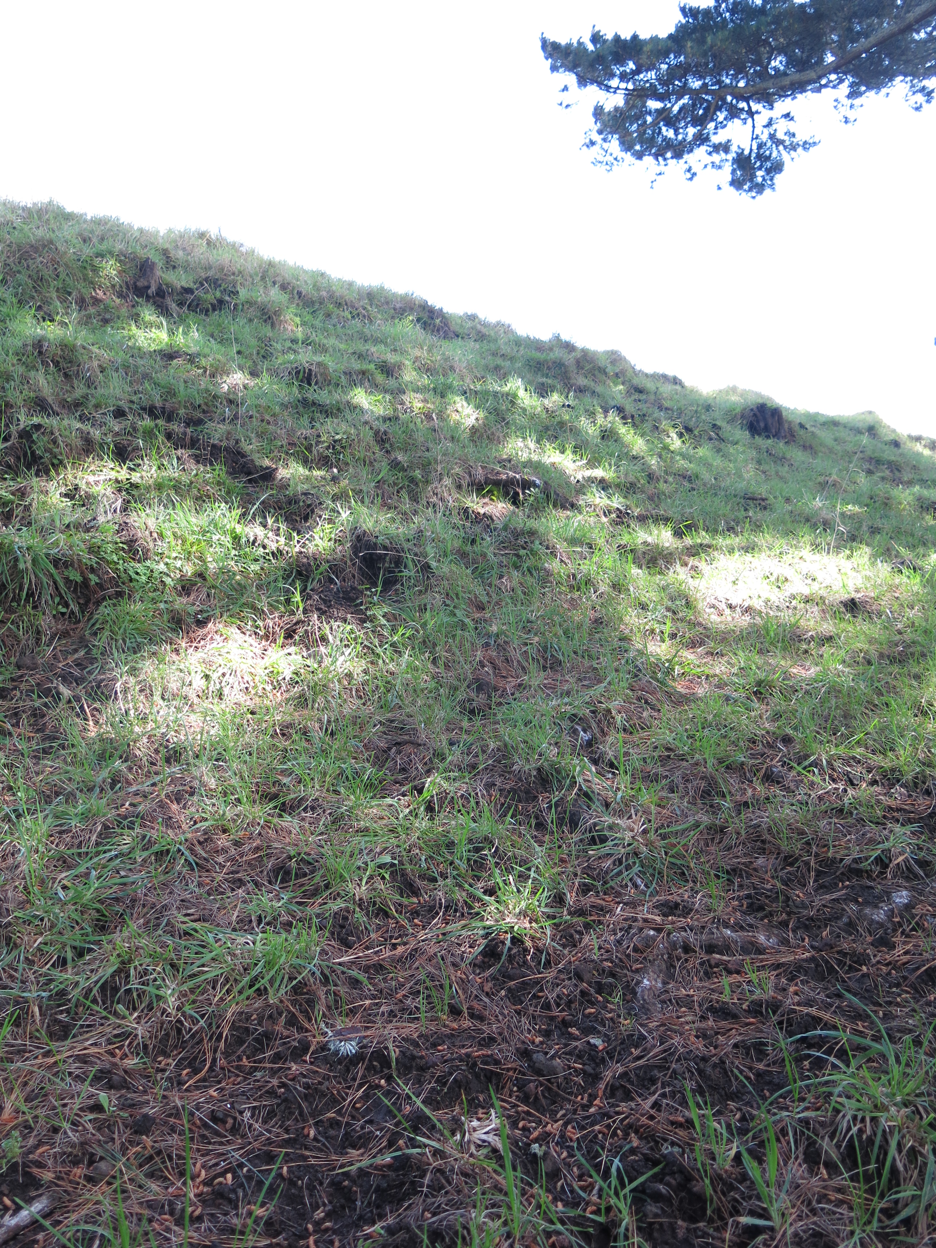
Other interesting archaeological features at Ōtuataua include the pā (hillfort or defended settlement) which utilised the volcanic cone. Auckland has many volcanic cones, all of which were used and settled by the Māori throughout history. Here at Ōtuataua it is no different. Unfortunately this particular cone has been extensively quarried for scoria before the site became a reserve resulting in the loss of a large part of the pā. However, it is still possible to make out the terraces on the southern side – these are the level areas cut into the lower slopes and were where Māori lived.
Although the presence of a defensive structure such as the pā would suggest a time of unrest much of the Ōtuataua area consists of undefended settlements and gardens which tells a different story. One which is often left out of the histories. Past interpretations of pā have seen them as solely defensive structures used during periods of warfare and whilst this may be true on one level, it is likely that similar to the gardens, they represent more than the utilitarian. It has been recently suggested that pā could also have been part of the identity of the wider group/iwi, having a great deal to do with display and status (see another article on Kauri Point). When seen as a complete landscape the story of Ōtuataua becomes more than just gardens, houses and pā.
A second interesting feature is the site referred to as ‘The Big House’. On an outcrop about half way between the mound garden and the gullies is a rectangular outline of stone. This is believed to be the foundation of what was once a large house or structure, nearby are several shell middens. Having never been excavated it is difficult to say what this structure was used for but the presence of the shell middens on the slopes below would indicate meals were eaten here. Perhaps it was a communal place to share food whilst working in the gardens?
All over Ōtuataua shell middens can be found, not surprising given the proximity to the coast. Fishing, shell fish gathering and horticulture were the mainstays of the local economy.
In Polynesia crops such as kumara are left in the ground until they are needed however here in New Zealand with its cooler climate the early settlers found they could not do this as the kumara will rot. Instead it became necessary to harvest the kumara and store it. At Ōtuataua the visitor will occasionally come across a shallow depression in the ground, roughly rectangular in shape and usually found on slopes or ridges (for good drainage). These are all that remains of the storage pits for kumara. Originally these pits would have had timber walls and thatched roofs. It is interesting to note that the storage pits here at Ōtuataua are outside of the defended pā, further evidence that the people felt secure and safe here on the edge of the Manukau Harbour – war was not as endemic to Tamaki Makaura as previously thought.
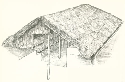
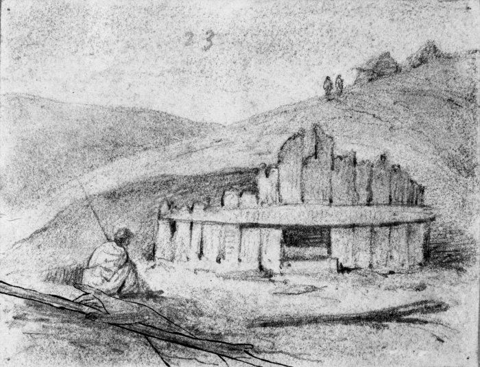
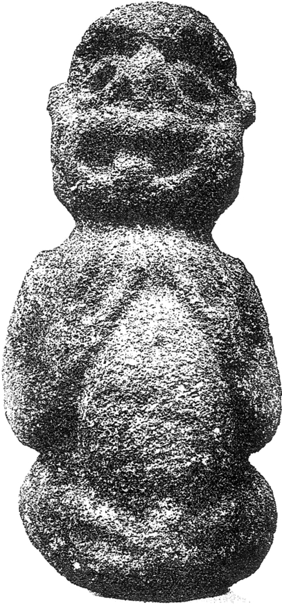
Above right is a depiction of a kumara storage pit with its timber frontage. On the left is a Rongo stone – these are representations of the god of agriculture and peace. They were considered tapu and left in the fields to encourage fertility of the land.
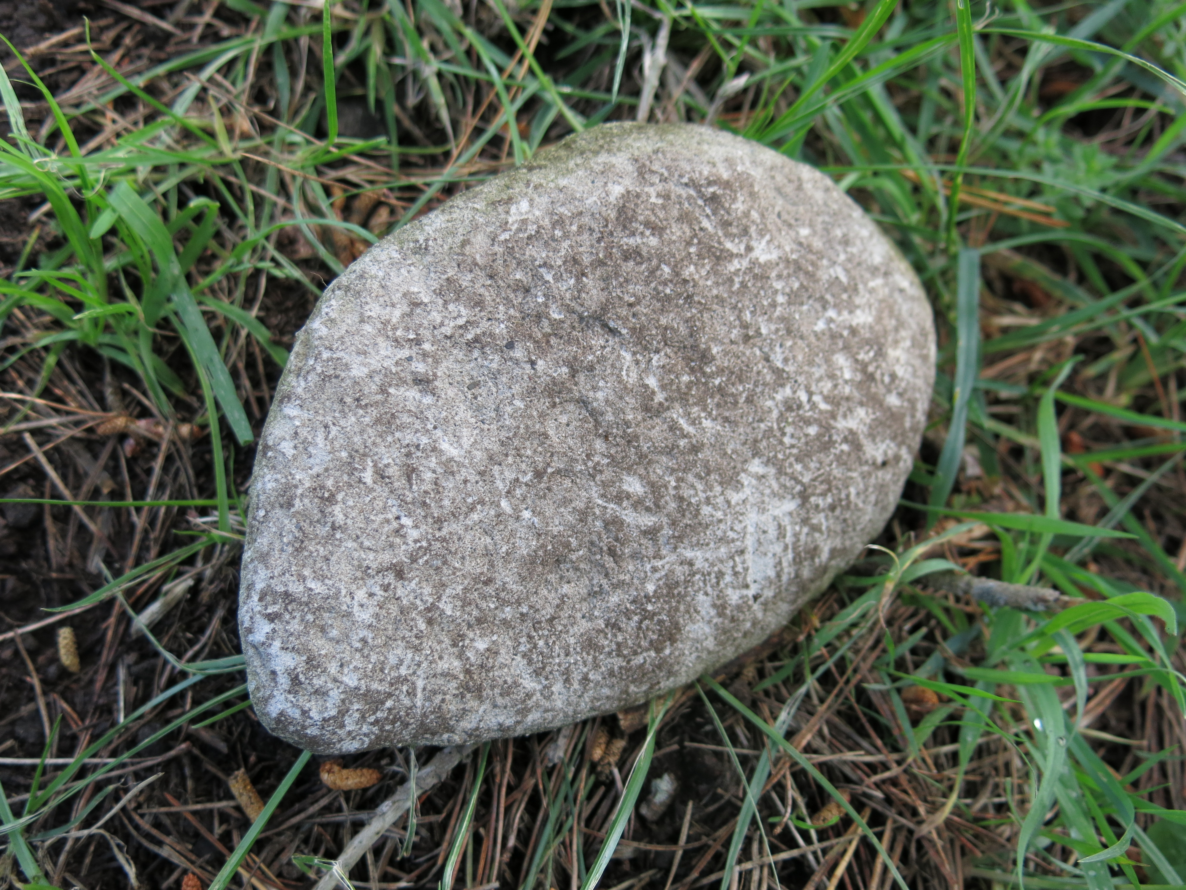
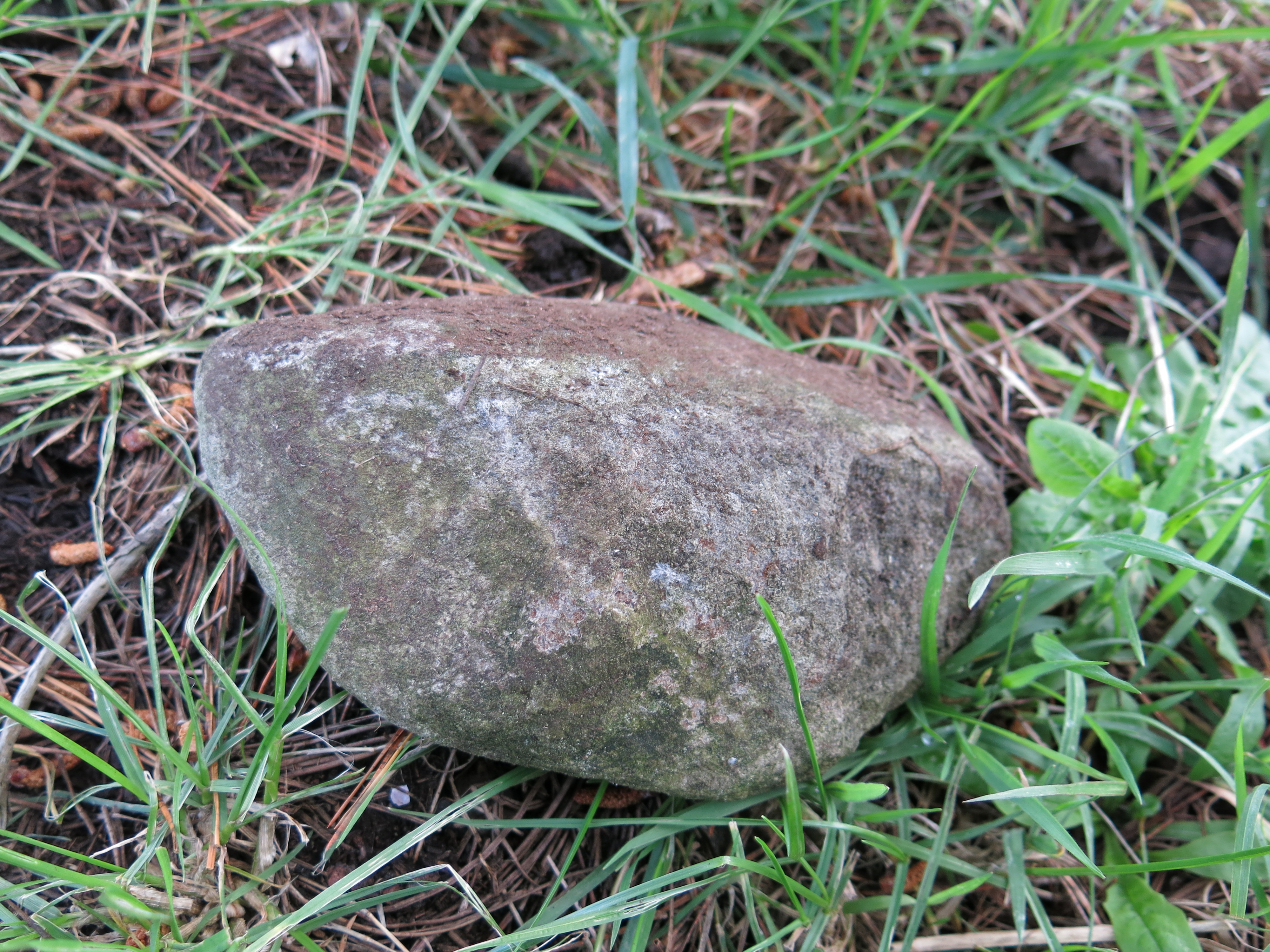
NB – During my visit to the stonefields, trying not to lose both the kids and the dog I was walking along the edge of a eroded shell midden when my eye was caught by an unusual stone. Unusual because it was not scoria and was very smooth on one side. The flip side was shaped to fit into the palm of your hand and although I am not much of an expert I am reasonably certain this was a rubbing stone for turning root vegetables such as taro or fern roots into pulp. A necessary procedure if you wanted to eventually eat it.
See the following article for more information on Otuataua – Photo-essay: Ihumatao and the Otautaua Historic Reserve
Reading – L. MacIntosh Shifting Grounds: Deep Histories of Tamaki Makaurau Auckland Bridget Williams Books 2021.


One thought on “Early Archaeology in Auckland – Ōtuataua Stonefields.”