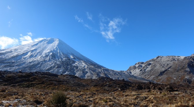
(Also known as Middle Earth)
I am still recovering…
On the 31st of October, myself, my son and his partner walked the twenty-kilometer trail known as the Tongariro Alpine Crossing. If I am honest, I would say that perhaps I should have done this twenty years ago. There were sections of the hike that were, for me, hard! However, I am so grateful that I got a chance to do it and would highly recommend anyone to give it a go if they are able.
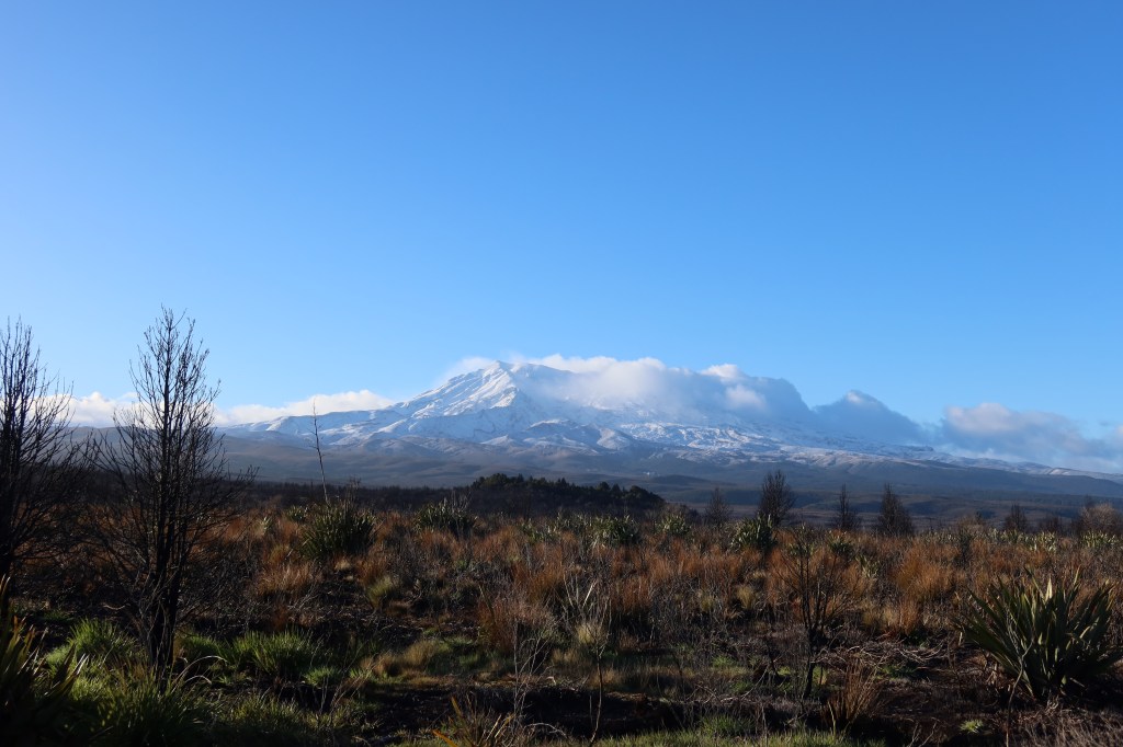
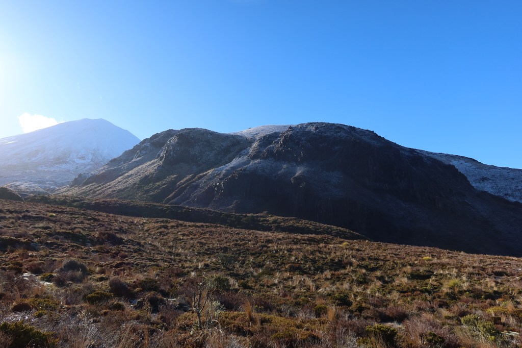
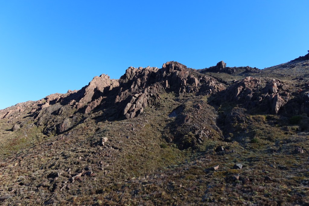
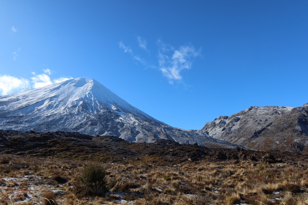
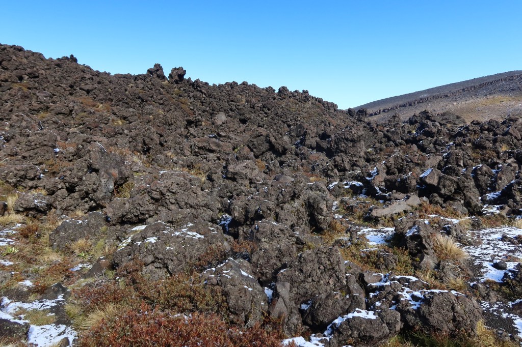
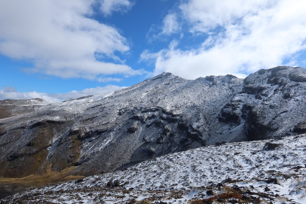
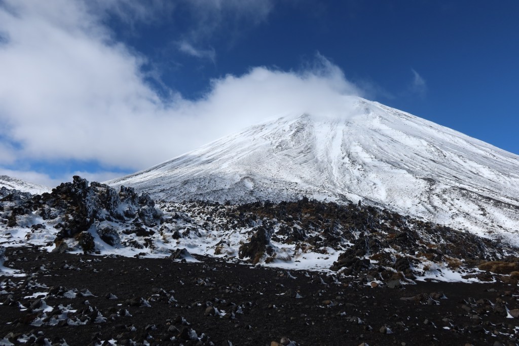
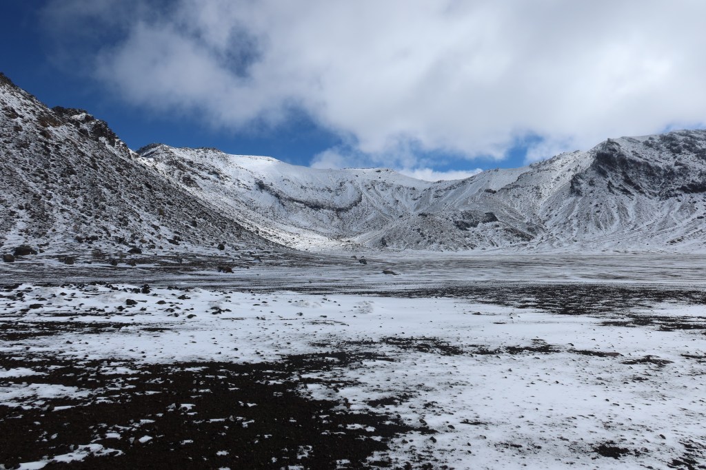
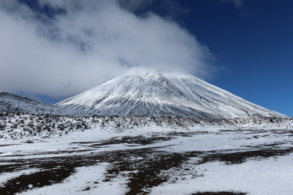
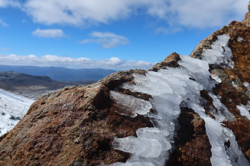
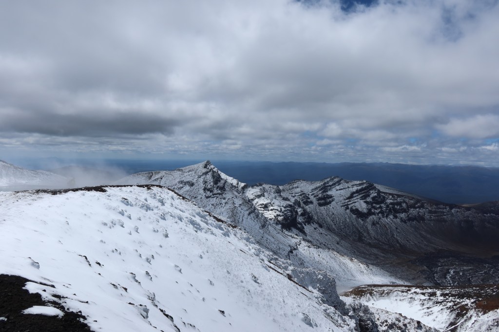
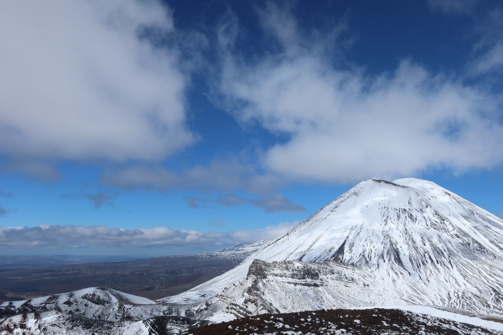
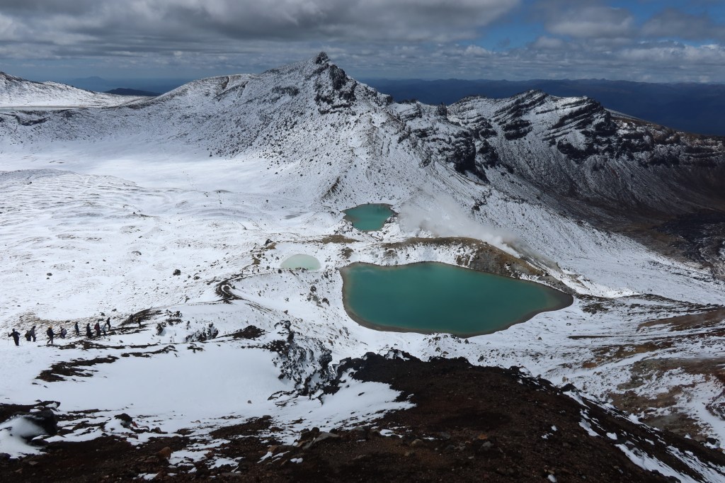
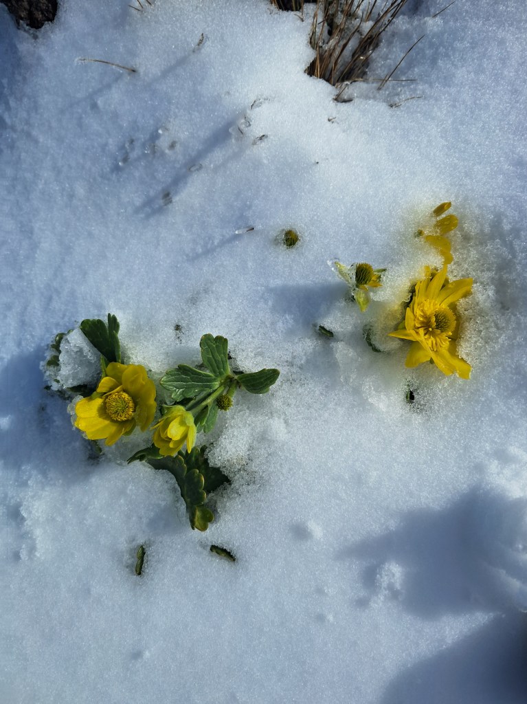
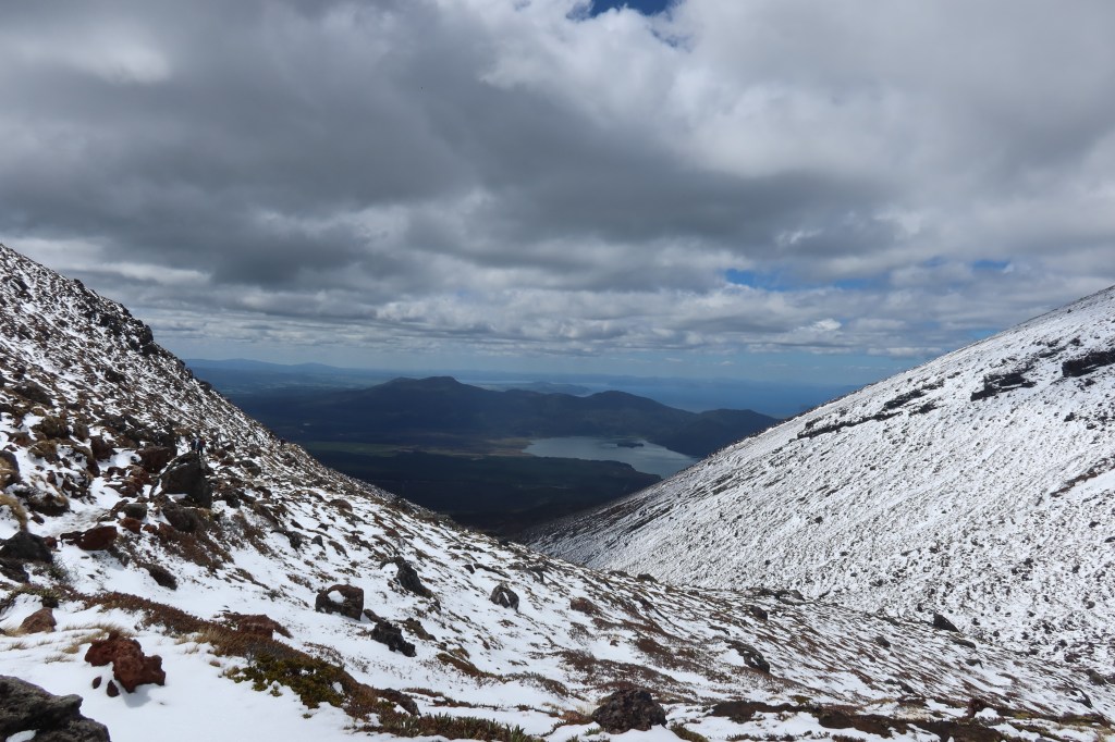
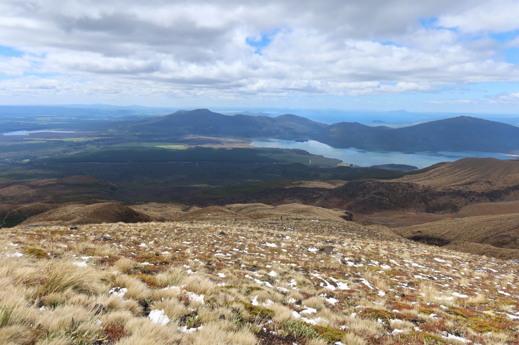
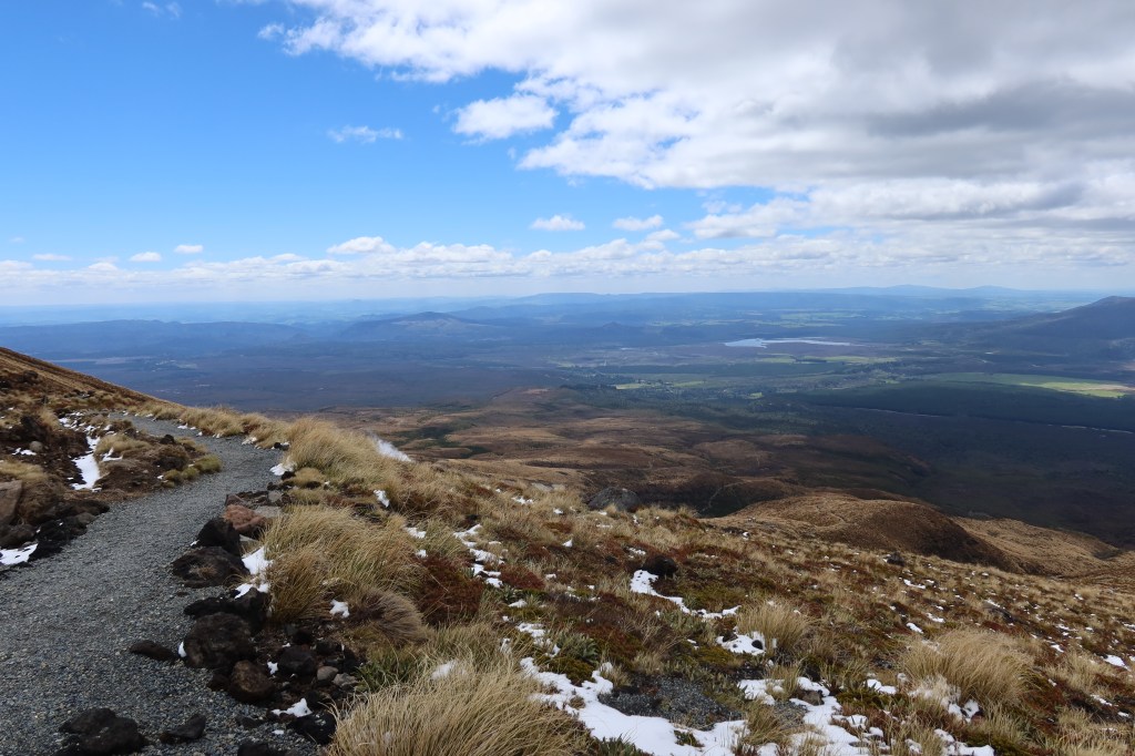
The following is a selection of photos from the hike. If you would like more information on the Crossing I would suggest going to the Department of Conservation page or The Tongariro Crossing website. I am not here to tell you the do’s and don’ts, I just want to show off my photos.
As recommended, we began our walk at the Mangatepopo carpark and ended at the Ketetahi carpark (the lovely hubby was on drop off and pick up duty). The day before the weather had been absolutely awful with gale winds and rain so we were very pleased to wake up to a clear sky on the morning of the walk. Keeping an eye on the weather report is important in this kind of environment. As it was the rain we had the day before had fallen as snow on the plateau down to 800m. Preparing for all four seasons was a good plan in this case, even if I did forget the sun screen…
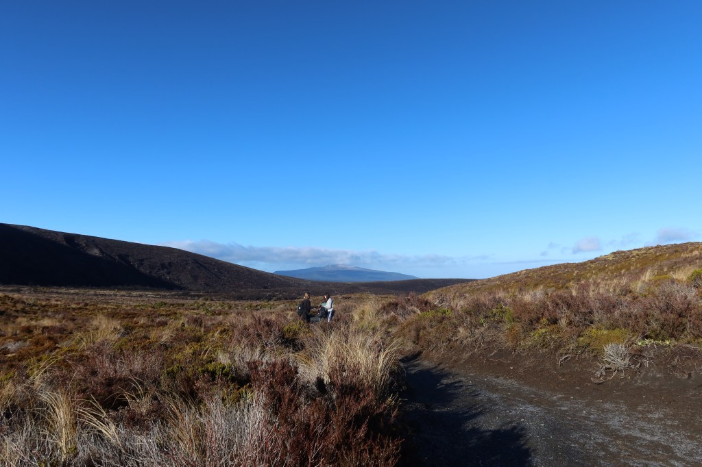
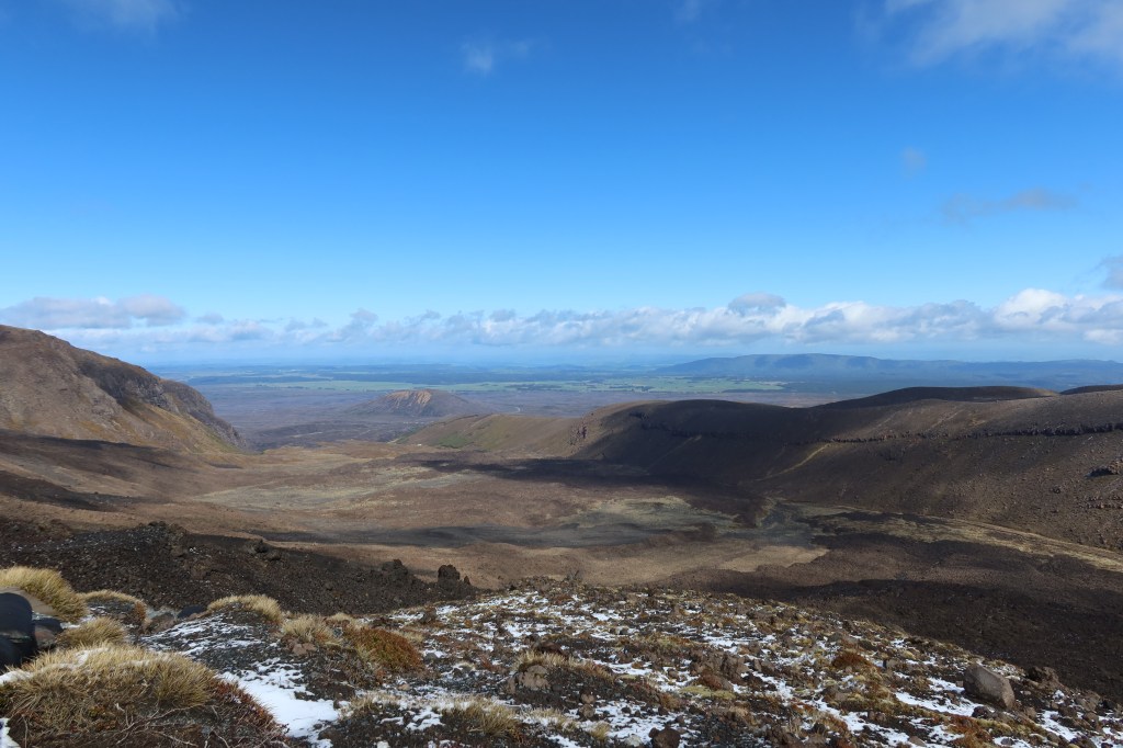
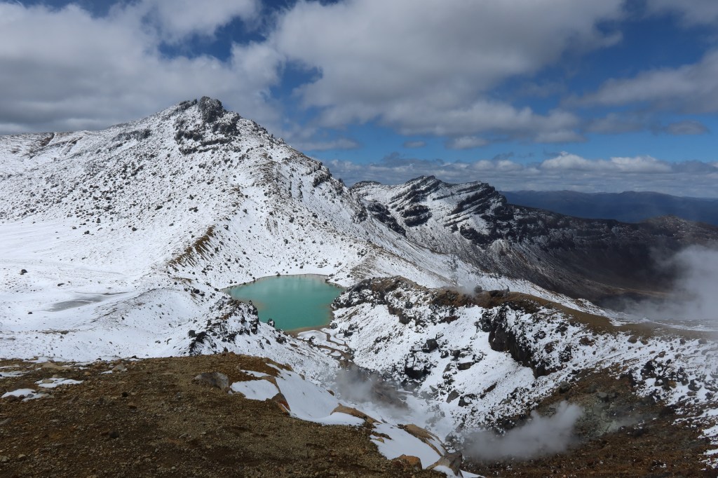
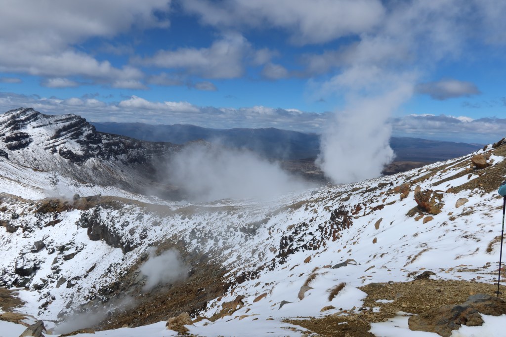
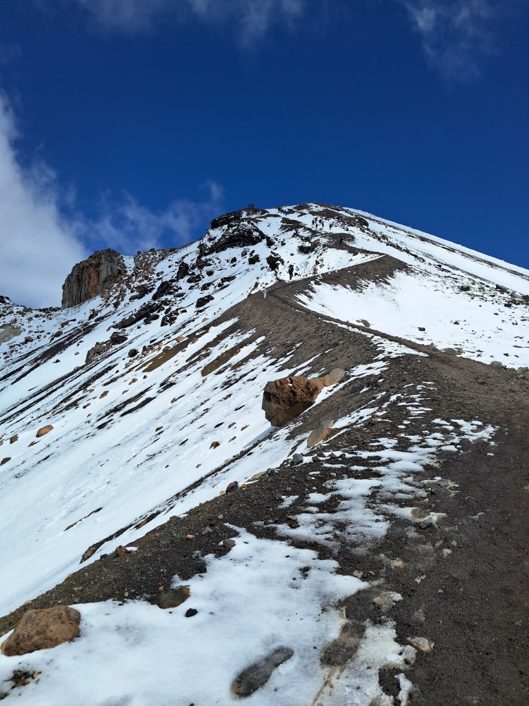
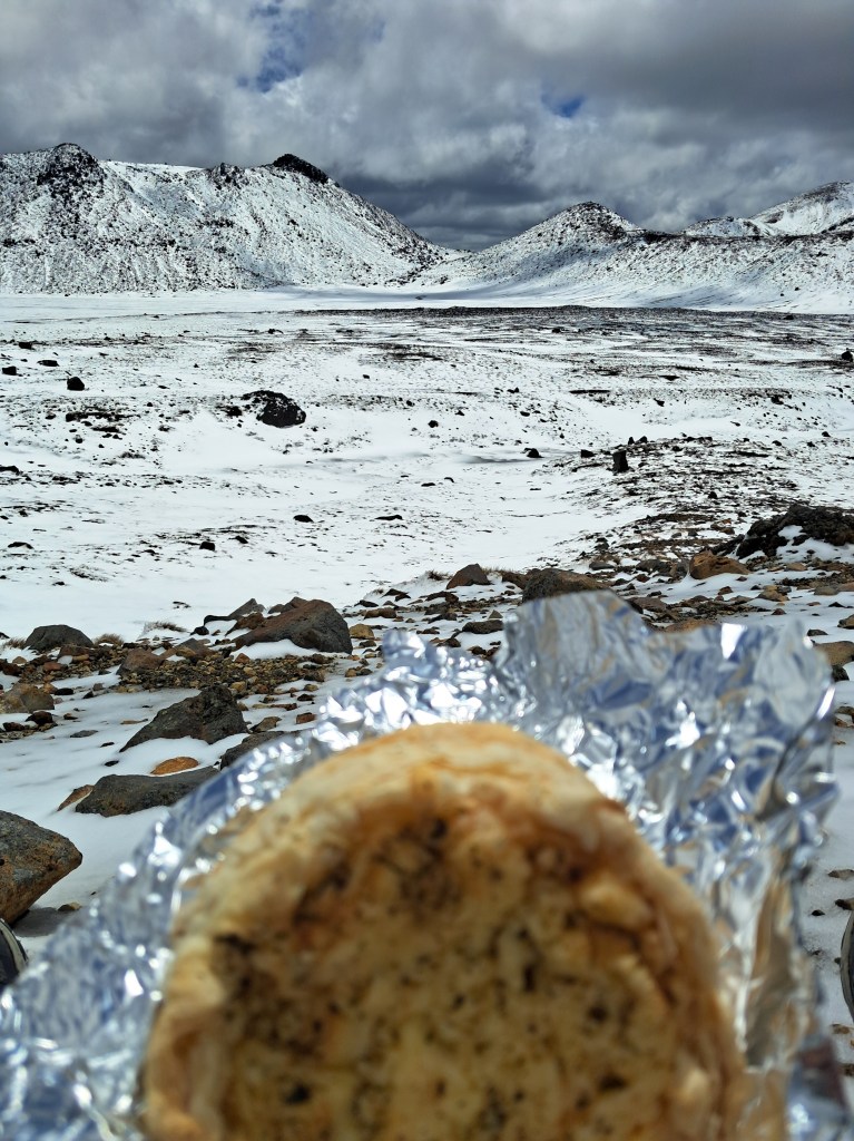
I failed to take any further photos of the journey downhill, the path became less slippery, less snow but it was long and zig zagged. I was simply focused on getting to the end. It was at this point I was certain someone at the Department of Conservation was having a laugh. Every time I was sure we were coming to the end there was more path to go. Officially, the distance is 20.2km, but I am not so sure…


