
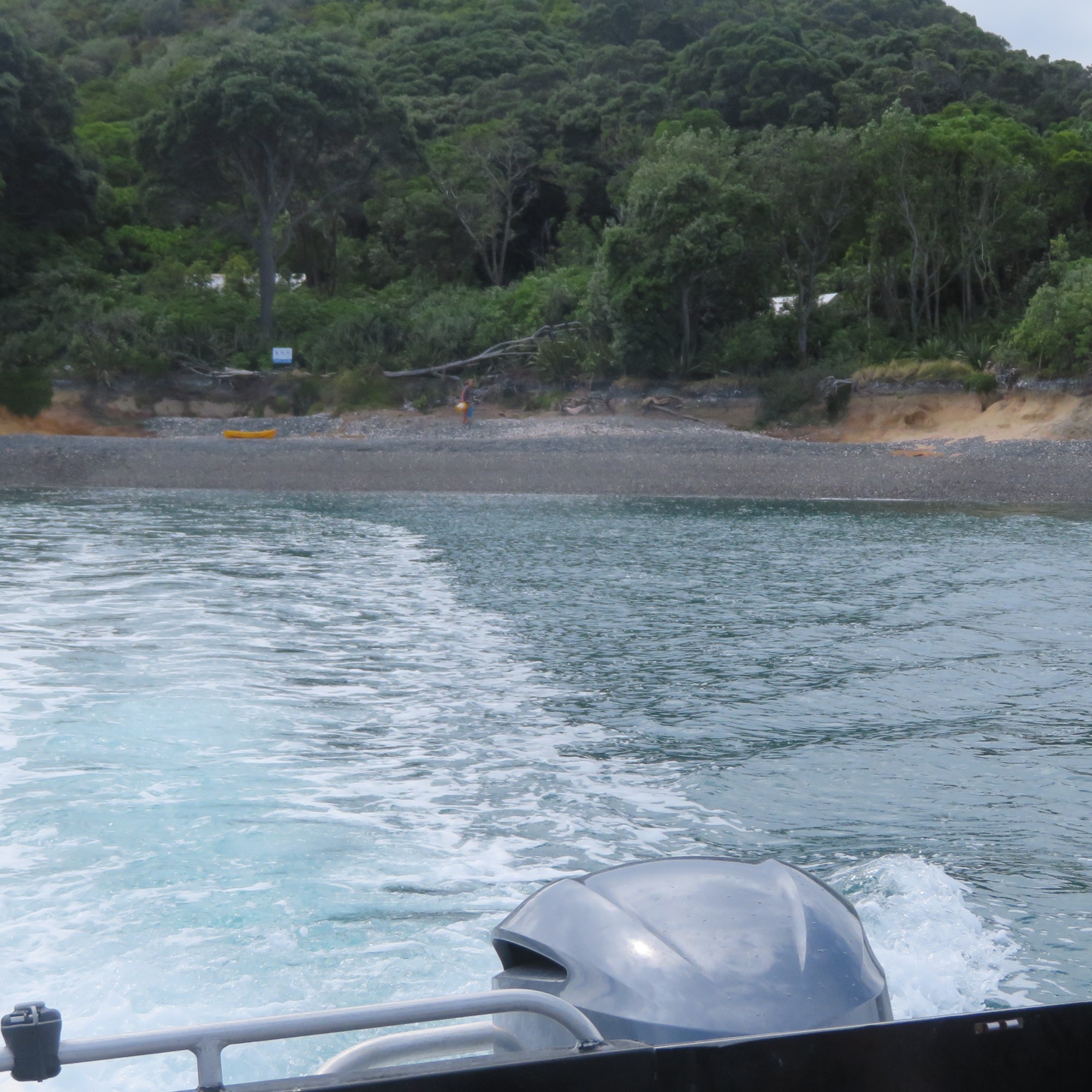
Otata Island is the largest of several island that make up the Noises island group. Situated on the edge of the Hauraki Gulf, its nearest neighbour is the island of Rakino.

In 2018 a storm swept away some five meters of the shoreline and in doing so exposed a large midden, approximately 50m in length. Concerned that even more of the shoreline and thus the midden could be lost during subsequent storms the landowners (the Neureuter Family) contacted the Auckland Museum for assistance.

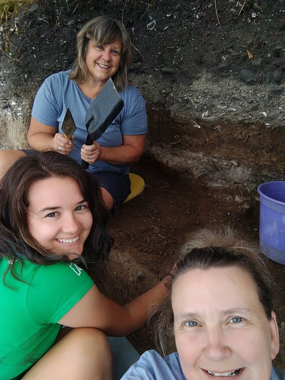
In March 2020 (just prior to New Zealand’s month long lockdown) archaeologists from the Auckland Museum, led by curator Louise Furey, along with representatives from Ngai Tai ki Tamaki and the family began a week long excavation. The following year they were back again for another week of digging (- it was at this time I was given the opportunity to participate).
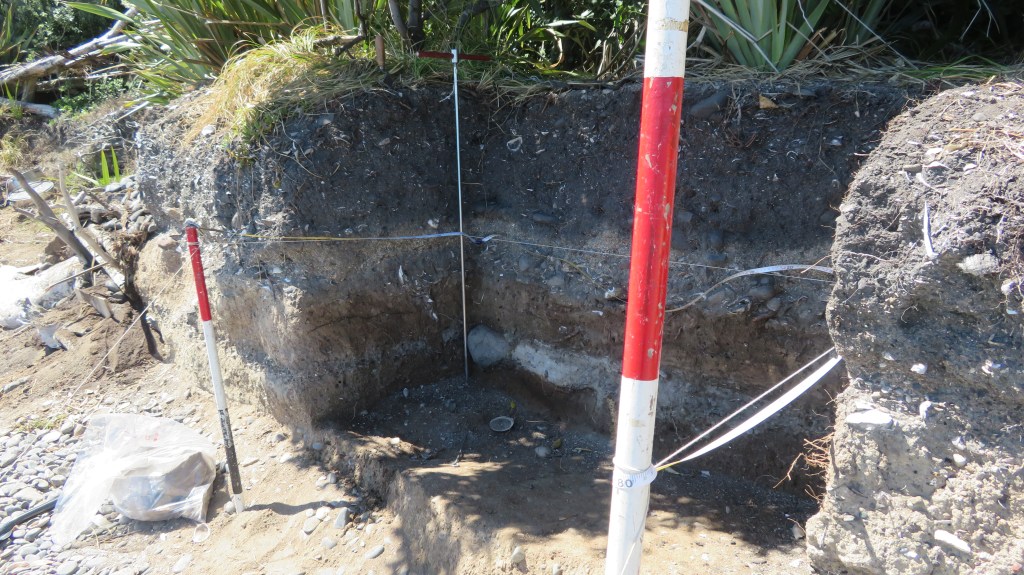
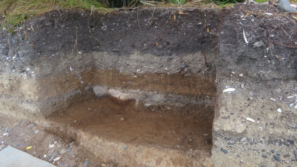
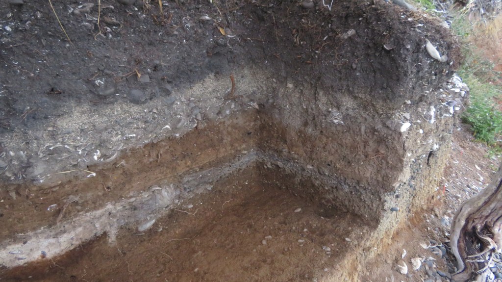
One of the aims on both occasions was to record vital information before the midden was lost to erosion – a common issue for archeology in New Zealand where so many sites are situated in coastal areas and are vulnerable to climatic conditions. The fragility of the shoreline was evident during the 2021 excavation, when large chunks of the edge would crumble away with the slightest touch – the square I was excavating was reduced by a third by the end of the dig. It is not hard to imagine what a storm surge could do.
Of equal importance is another of the aims of the project was provide an environmental baseline for the understanding the marine environment around Otata and how it has changed over time.
“For archaeologists the most exciting feature of the Otata midden is the rich diversity of species contained within it. Middens with an abundant range of species are rare in the Hauraki Gulf and only a few have undergone full analysis”
E. Ash ‘Excavating Otata Island: A Midden Revealed’ Auckland Museum Blog.
The partnership with the Ngai Tai ki Tamaki provided another dimension to understanding the archaeology. Mataurangi Maori – the knowledge and oral histories of local iwi – can serve as a valuable aid for the understanding of archaeological sites. In the case of Otata, the archaeology appears to support the ancestral stories, aiding our understanding of how early Maori used the Hauraki Gulf.
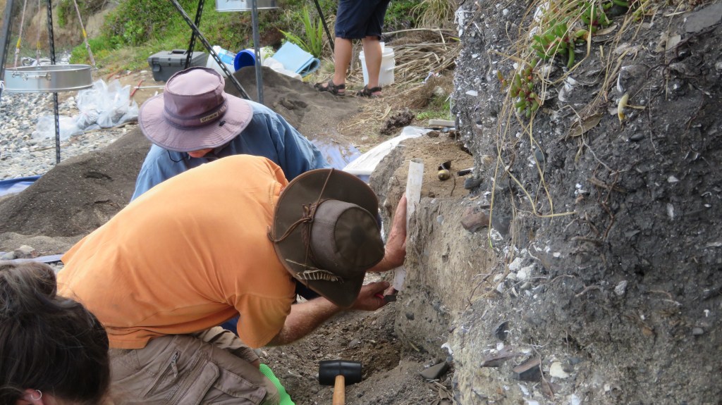
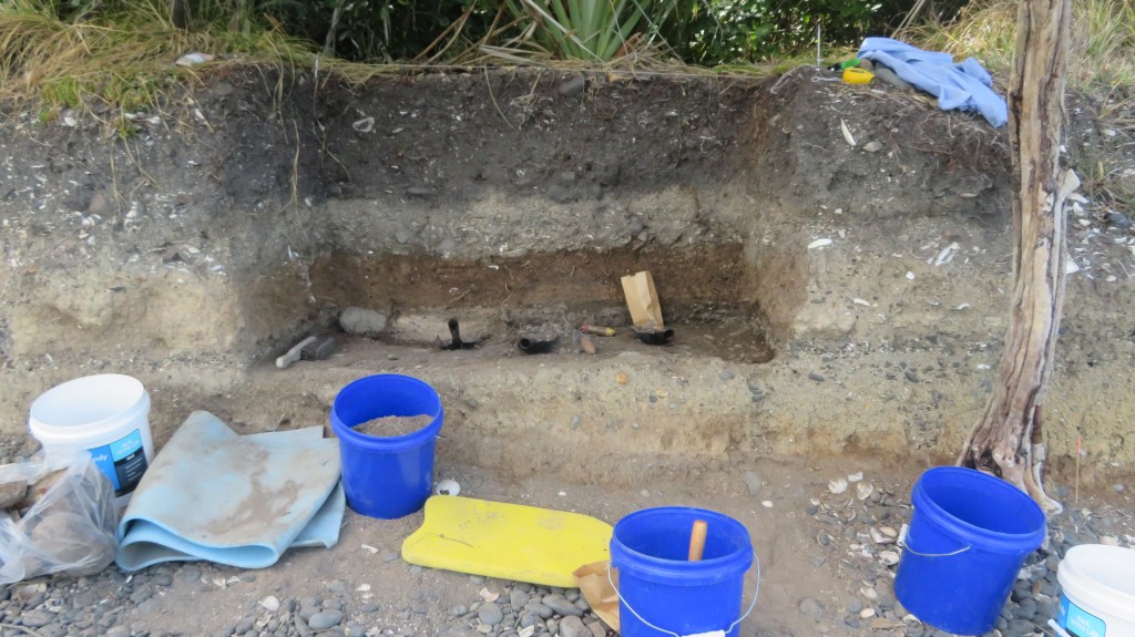
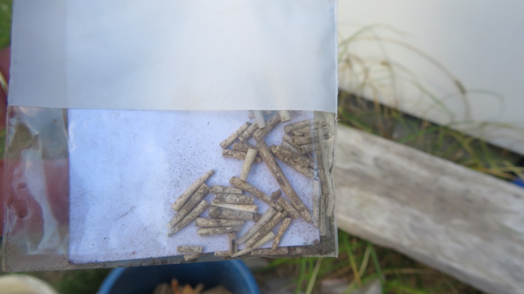
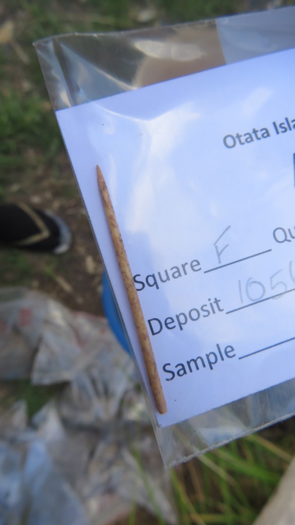
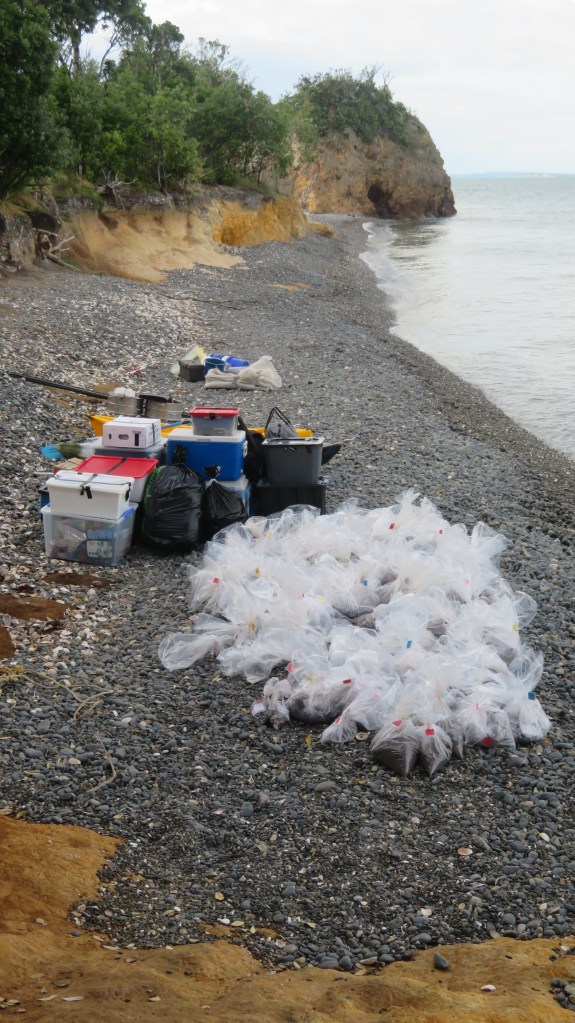
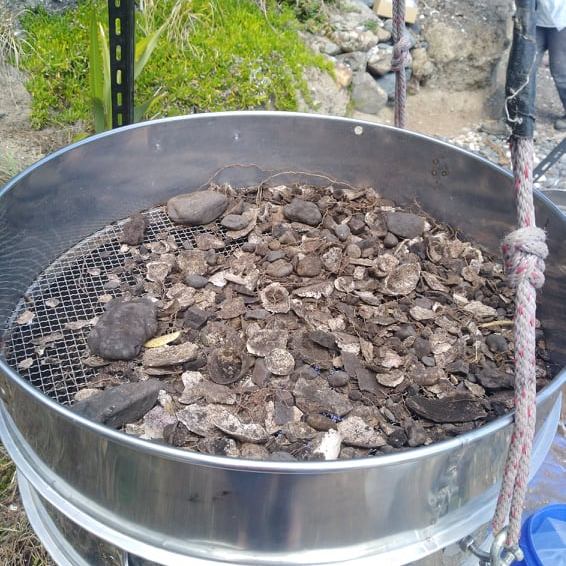
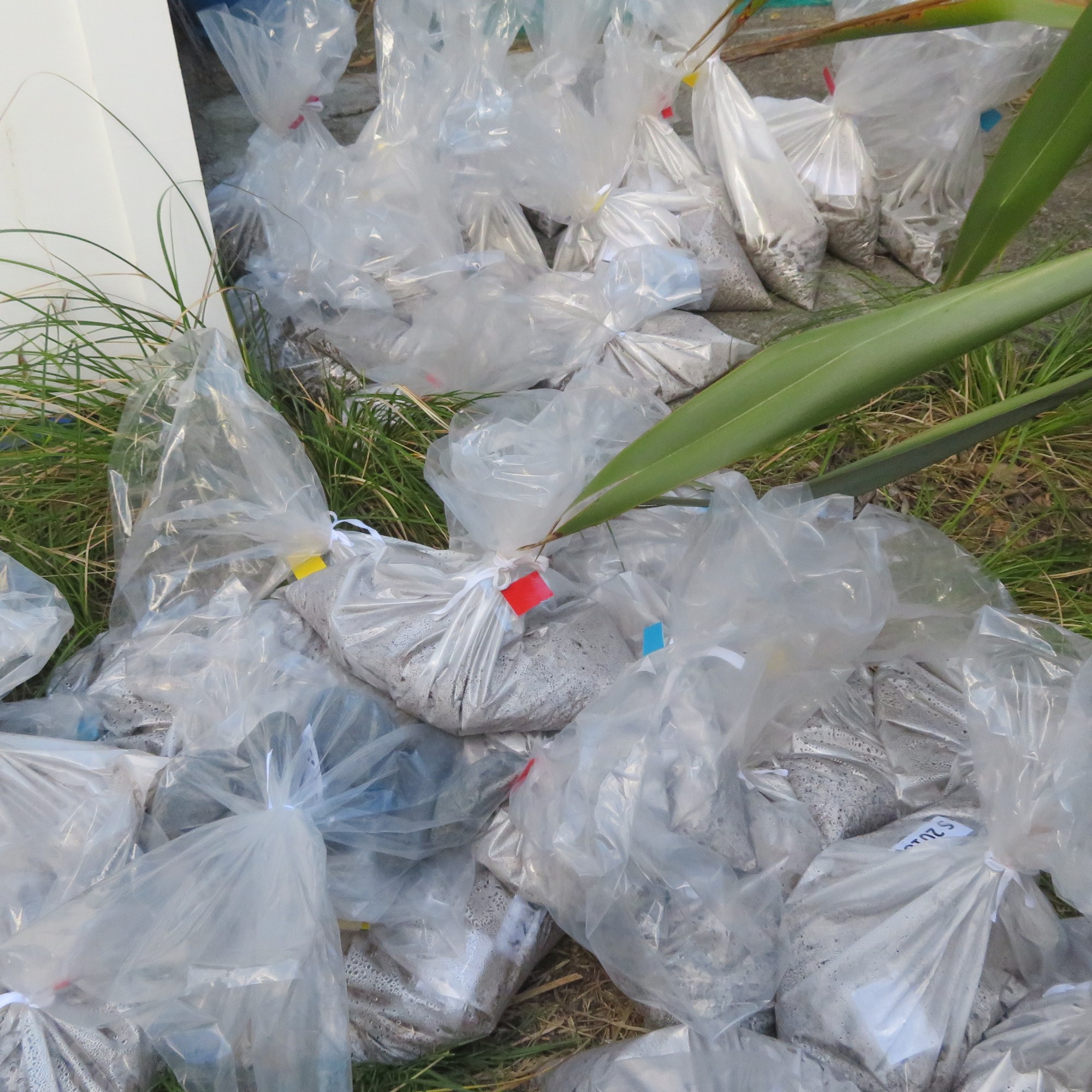
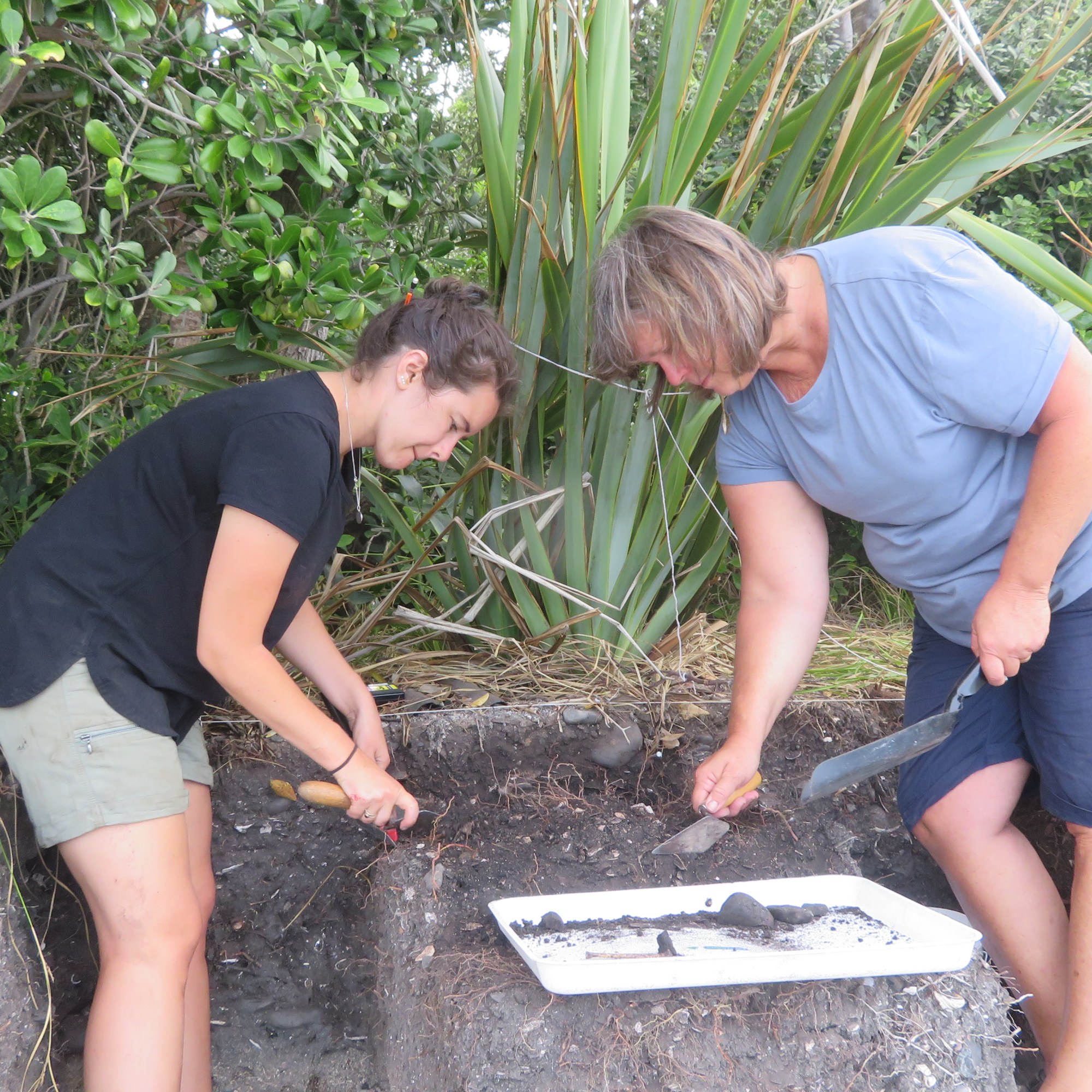
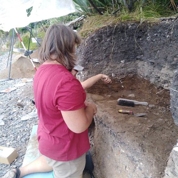
Because of the size of the midden, it would have been impractical to excavate large areas, instead a sampling strategy was employed. In total over the two weeks, seven one meter squares were hand trowelled, using a system of 5cm spits (unless features were identified) with the material from each spit being sieved (6mm and 3mm). The sieved material was then bagged up to be taken back to the museum for further analysis. In both years the samples taken from the island weighed in at approximately 500kgs.

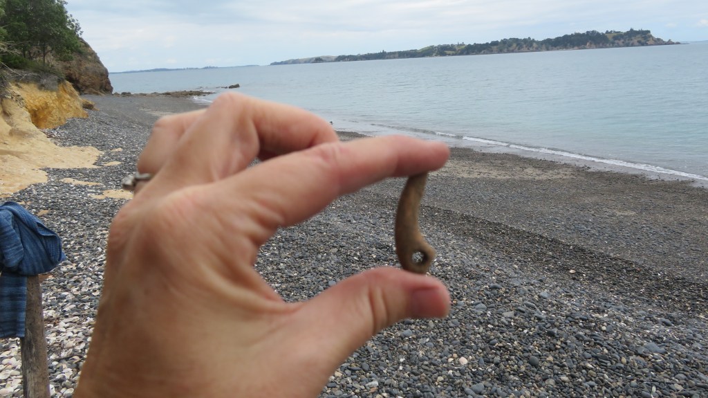
From these samples it is the intention to identify and quantify the types of shellfish, fish and birds that were found on and around the island. This gives us an idea of foraging behaviour, food preferences and seasonality.
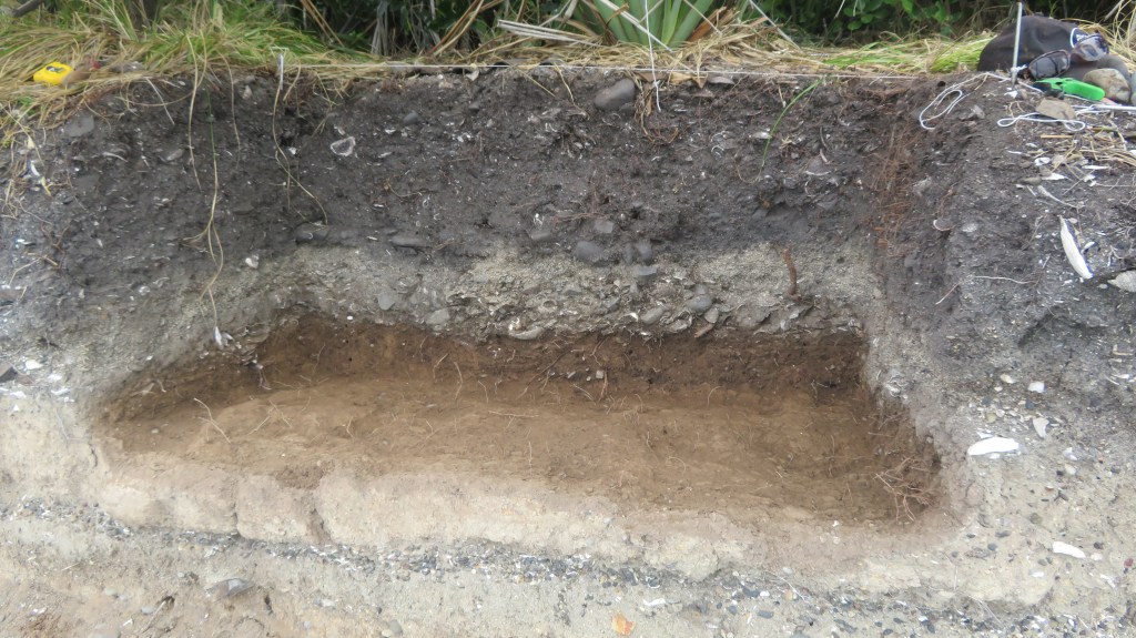
During the 2020 dig one of the squares dug down into a large hangi which consisted of quantities of burnt shell, a dense charcoal layer and large stones (see Emma Ash’s blog below for more details). Also discovered during that week was a cultural layer sealed below a layer of volcanic ash (tephra) from the eruption of Rangitoto. Only one other site in the Gulf has a similar stratigraphy – the Sunde site on Motatapu Island. It was this lower layer which was the focus of attention during the 2021 dig.
The plan for the 2021 dig was to excavate four one meter squares, each of which was further divided into four quadrants and all but two of the quadrants were excavated.
On a personal level this was fascinating week, not only did I have the opportunity to be digging what, I am sure, will turn out to be a very important site but I was in the enviable position of camping on beautiful island in the Hauraki Gulf. It had been some years since I had last been on a dig so I was a tad nervous about stuffing up…anyway lets just say it was a bit like riding a bike, once learnt never forgotten – at least that’s what they say, I haven’t ridden a bike since I was a child so goodness knows how that would go.
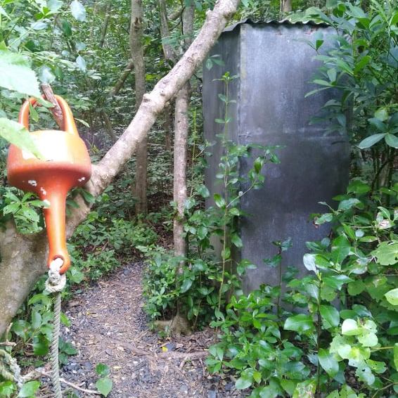
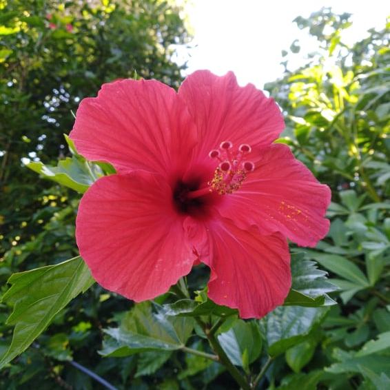
The following are a few photos from the 2021 excavation and my experience (please note these are my own photos).


As a final note I would like to thank Louise Furey (and company – you know who you are) from the the Auckland Museum for inviting me along on the dig this year. I came home tired, smelly, covered in mozzie bites and just a little crispy but even so it was a thoroughly enjoyable experience and one I shall not forget in a hurry…much like riding a bike…
More Information
‘Excavating Otata Island: A Midden Revealed’ by Emma Ash, Auckland Museum Blog. A post on the 2019 excavation.
‘A Second Look Into the Past’ By Emma Ash, Auckland Museum. A blog post on the website below that covers the 2020 excavation.
The Noises (website about the island group in general, including many of the scientific projects being undertaken.)


One thought on “Excavating on otata Island”