
On a cold and damp day in January the family and I decided to visit the famous site of Tintagel Castle in North Cornwall.

For hundreds of years the site of Tintagel Castle has fascinated visitors and locals alike. Even without knowing any of its past the place oozes with untold stories and imaginations can run riot (which they have).
The Fiction

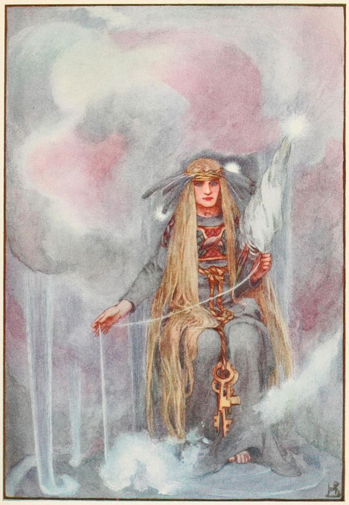
Ask almost anyone about Tintagel Castle and immediately King Arthur and Merlin will come to the fore. It was Geoffrey of Monmouth who wrote the History of the Kings of Britain sometime between the 1135 and 1138 who associated Tintagel with King Arthur as the place where Arthur’s father Uther Pendragon seduced/tricked Igerna into bedding him (Merlin and magic appear to be involved…) and so Tintagel became known as the place where King Arthur was conceived. It should be noted that at no time did Geoffrey of Monmouth ever suggest that Tintagel was Arthur’s home or that the castle belonged to him. The only connection was and is the story of his conception.
“The History nowhere claims that Arthur was born at Tintagel, or that he ever visited the place later in life, or that in any sense the stronghold became his property when he was King…On so slight a foundation, almost every subsequent writer was able to expand the conception of Arthur at Tintagel to his birth there and, by implication, ownership and even residency.” (Thomas C. 1993)
Whilst it is understandable, after all this part of Cornwall with its dramatic coastline rather lends itself to stories of magic, romance, skulduggery and drama. It seems a shame that the Arthur connections – real or imaginary – detract from the true story of the headland and its castle.
The Facts
The remains the visitor sees today can be divided roughly into two phases of occupation, post-Roman (5th- 7th centures AD) and after 1100AD.
The occupation of the headland in the post-Roman era was originally believed to have represented the remains of early Celtic monastery. This theory has now been rejected and instead it is believed that the site is that of a “…high status secular settlement probably used by the Kings of Dumnonia between the Roman withdrawal in 410AD until the end of the seventh century AD, and it has now been identified as the Durocornouis (fortress of the Cornish)…” (Weatherhill C. 2009).
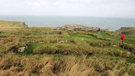
The buildings which are associated with this phase can be found clustered around the later medieval chapel, below on the cliff edge (just above the iron gate) and further along the headland. Many of the buildings were revealed after a scrub fire on the headland. Excavations have produced vast quantities of Mediterranean pottery such as amphorae dating to the fifth and sixth centuries. The amount of imported pottery exceeds the amounts found on all other known post-Roman sites in Britain.
An often overlooked feature of the headland is the indentation known as Arthur’s footprint. It is an eroded hollow in the rock on the highest point of the headland and shaped roughly like a footprint. Its association with Arthur is irrelevant as it is more likely an indication of ceremonies enacted here during the post-Roman period if not earlier.
In parts of Ireland and Scotland there are places which also have footprint type impression in rock and are associated with inauguration ceremonies of important people well into medieval times. Symbolically, placing a foot in a specific place is representative of a persons right to rule over the surrounding territory. Is it not possible that this example here at Tintagel was something similar and equally ancient.
“It can be wondered. therefore, if the occasions when the Dumnonian ruler and his court – or any other major chieftain in the post-roman south-west – came to Tintagel included public recognition of a king as replacing his dead predecessor, and whether this rock-marking figured in ceremonies.” (Thomas C 1993).
Perhaps the importance of Tintagel during this period cannot be over emphasised enough. In 2016 three weeks of excavations were carried out by the Cornwall Archaeological Unit as part of a long term research project undertaken by English Heritage. During this time the team dug opened trenches in two different parts of the island opening a small but fascinating window into Tintgels past. Over 200 sherds of imported Mediterranean pottery were found alongside some fragments of high quality glass vessels. All pointing to Tintagel being a place of great importance – unfortunately the dubious connection with King Arthur reared its head in the newspapers with headlines such as ‘Kings Arthurs Palace Found’ for which there is no evidence at all…For more well informed facts regarding last summers excavation follow this link to the EH blog – English Heritage Blog – Tintagel Castle Dig.
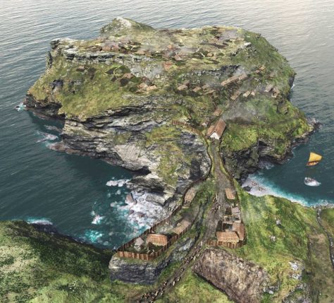
The second phase of settlement belongs in the twelfth century and is the result of building works done under the auspices of Richard the Earl of Cornwall. Richard was made Earl of Cornwall in 1227 and in 1233 bought Bossiney and Tintagel from Gervase de Hornicote although it does seem that building works had already begun by this time.
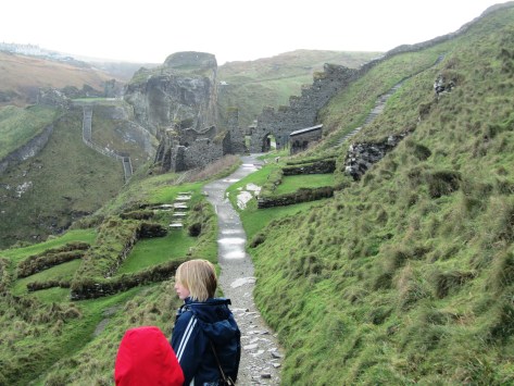
Much of the impressive remains the visitor sees today are the ruins of Richards castle. The inner ward is on the island and the outer ward is on the mainland side. Originally there appears to have been a bridge between the two as by this time the land bridge had all but eroded away.
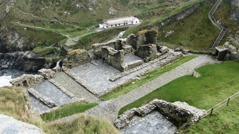

One question does need to be asked at this point – why did the Earl of Cornwall build a substantial castle here in Tintagel? It is far from the centers of Cornish commerce and it is no where near the main routes into and out of Cornwall. It defends nothing but open water. In short it has no military value or function and is that not what castles are for? So then, why Tintagel?
Richard was the second son of King John and by all accounts was an ambitious and educated man who had decided to make a statement. He would have read Geoffry of Monmouth’s History and would have been told about Tintagel being the ancient seat of the rulers of Dumnonia. His decision to build a flashy castle here was his way of saying to the Cornish people and others – “Here I am, your Earl – from this ancient seat of power I will rule”.


Final Facts
· The headland has two freshwater wells.
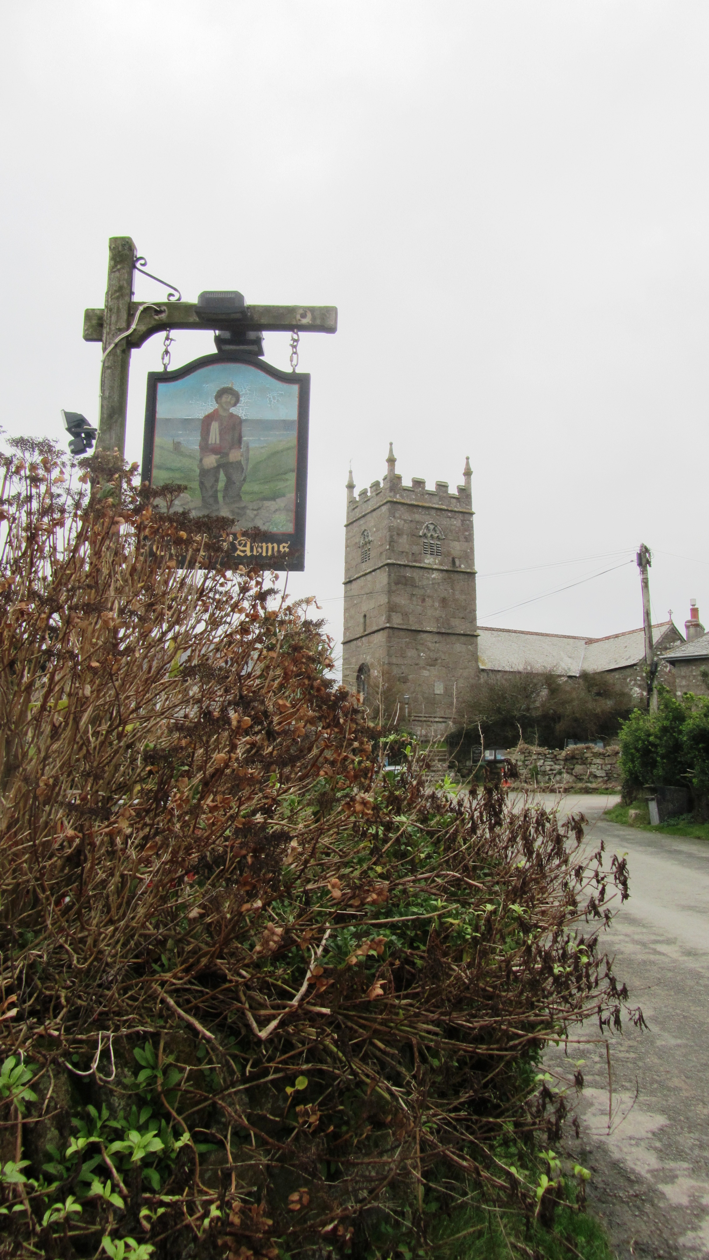
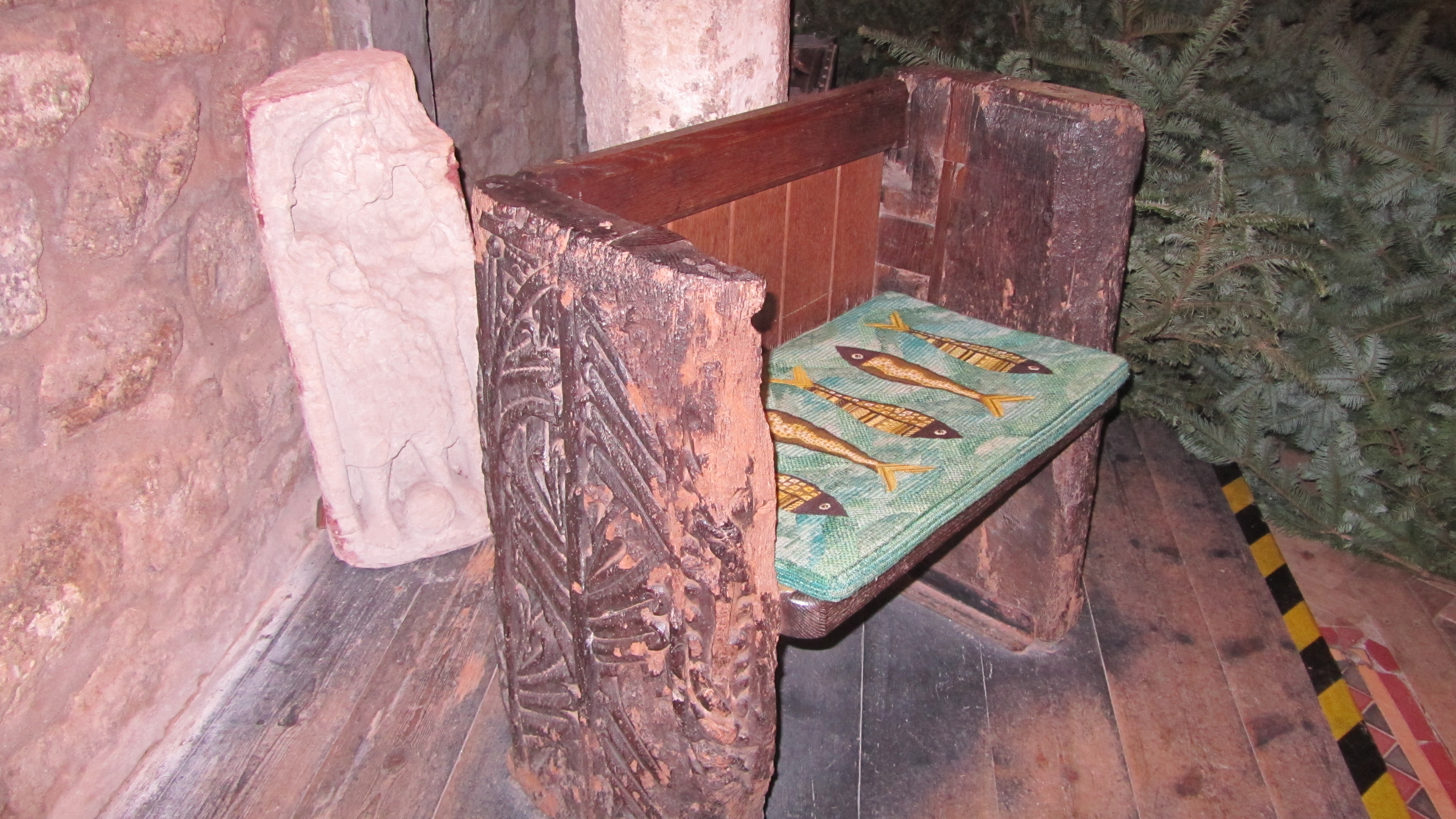
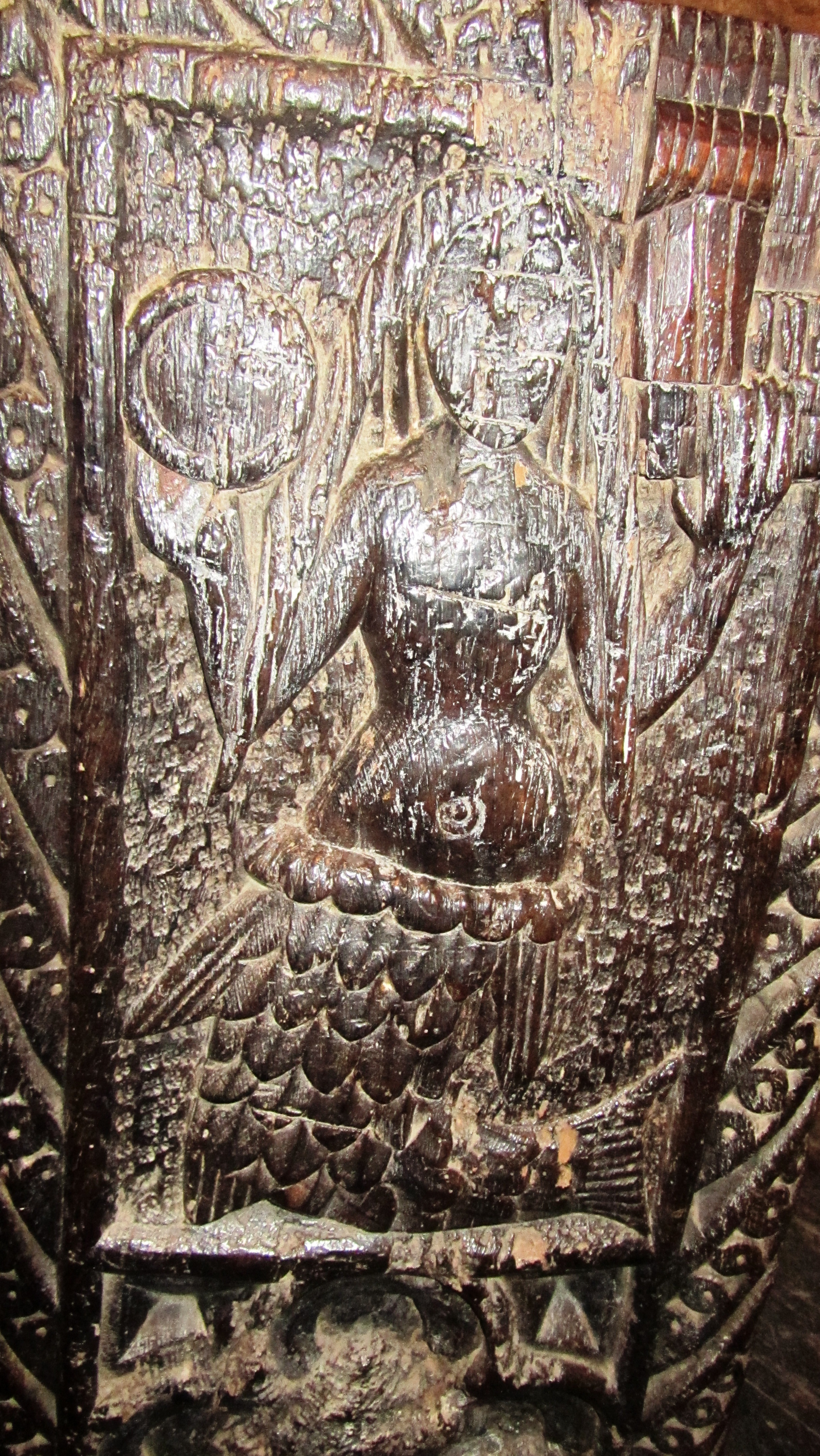
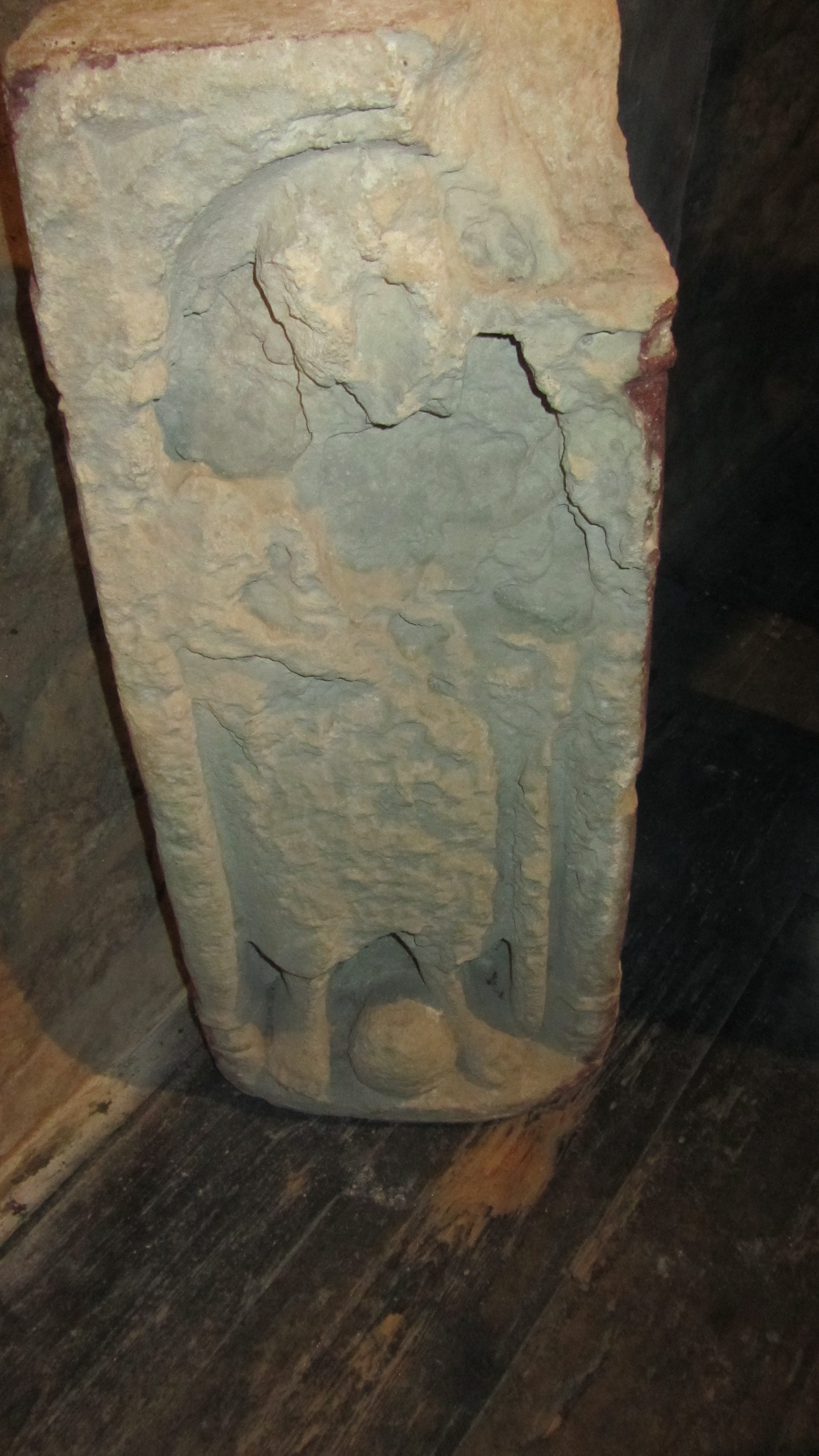
· The Chapel is dedicated to St Juliot and is 12th century in date but seems to have earlier origins (see photo below).
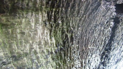
· The tunnel is an enigma, dug into the stone bedrock of the island with small iron tools, it is most likely medieval in date and it has been suggested it was a cool store for foodstuffs such as meat (see photos below).
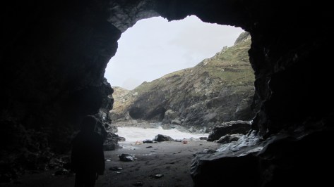
· Merlin’s Cave is a great place to explore at low tide but is unlikely to have anything to do with the Merlin of Arthurian myth.
· The beach below the headland is known as the Haven.
In the end, it is fair to say the story of Tintagel Castle is not complete. I, as much as the next person have a great affection of the Arthurian stories and if such stories provide impetus for the average person to visit Tintagel then all the better. But personally the facts are the clincher – it is they which make the better story.
Sources
Thomas C. 1993 Tintagel – Arthur and Archaeology English Heritage/Batsford.
Weatherhill C. 2009 Cornovia Ancient sites of Cornwall and Scilly 4000BC – 1000AD. Halsgrove.


Share this:


