Summertime in New Zealand means roadtrips and exploring all that our lovely country has to offer. Me and mine decided to spend some time in the goldmining town of Waihi and of course as always this meant a lesson in history, in particular the area around the Karangahake Gorge.
The Karangahake Gorge is situated between the Coromandel and Kaimai ranges and was formed by the flow of the Ohinemuri River. It’s steep sides are covered in native bush, a haven for those wanting to experience the great outdoors. There are plenty of walks and cycle trails to enjoy or you can simply sit by the river and enjoy a picnic. However not so long ago the visitor would have been greeted by an entirely different scene.
On this visit we did the Windows Walk which takes you past and through several of the stamping batterys and the many associated building ruins then into the old tramway tunnels along the Waitawheta Gorge (an offshoot of the Karangahake Gorge). Unlike other goldmining areas, alluvial gold is rare in the gorge and almost all of the gold and silver recovered from here was done by deep quartz mining. This meant only the large well funded companies could afford to operate in the gorge. The three main players were the Talisman Mining Company, The Woodstock Mining Company and the Crown Mining Company. (The latter will ring some bells with those of you interested in Cornish mining history as they were a major player in the mining industry of Cornwall. In fact many of the miners came from Cornwall which was at the time undergoing a decline in mining. Their skills in hard rock mining was in great demand in colonial lands). Today so much of the ruins are covered in dense bush, their edges softened by vegetation and with the sound of either the Ohinemuri or Waitawheta rivers filling your ears it is hard to imagine this as a place of heavy industry.
“A continous rythmic thumping once filled the air here, as stamper batteries (gold recovery plants) of the Talisman, Woodstock and Crown Mining Companies pulverised quartz rock to free the gold within.” (taken from an information board at the beginning of the walk)
Much of the ore came from the steep sided Waitwheta Gorge and was then transported via aerial tramway across the gorge to the tramway and delivered to the stamping battery where it would undergo a series of crushings to extract the gold and silver which was then smelted into bullion bars. The Talisman and Crown Mines were two of the largest of their type in New Zealand and together produced in the region of four million ounces of gold bullion.
The following are some of the photographs taken during our time exploring the industrial archaeology of the Karangahake Gorge.
All that remains of the Talisman powerhouse on the banks of the Ohinemuri River.Several phases of building are present at the Talisman powerhouse – here you would have found the boilers and air compressors that powered the machinery for the battery and mines.
Remains of the Woodstock Battery, note the water wheel for powering the stamping machine.Woodstock battery.These can be found lying all along the route, heavy cast iron crushers for pulverising the quartz.Woodstock battery.To increase yields potassium cyanide was used to remove even the smallest particles of gold and silver from the ore.
“Once the ore had been crushed in the upper levels of the battery the fine powder that resulted was subjected to the cyanide process. This involved mixing potassium cyanide with the finely crushed ore in tanks for several days then drawing off the solution and passing it through wooden boxes where the dissolved gold and silver precipitated as a black sludge on zinc shavings. The sludge was then treated with sulphuric acid to remove the zinc. The residue was then smelted into bullion bars (of gold and silver)” – From the above information board.
Remains of the tanks where the powdered ore would be treated with cyanide.
One of the main features of the Windows Walk is the tramway, part of which goes through the side of the gorge (a torch is a must if you do this walk). In its heyday, the ore was transported via tram but because of the steep sides of the gorge a trail had to be cut out of and through the rockface.
The Crown tramway…then…
and now…
A bit further on from the modern suspension bridge is the remains of the Crown Mine.
The entrance to the Crown MineDrawing showing the extent of the Crown Mine in the Waitawheta Gorge.Side view of the mine workings through the gorge.The now peaceful view which was once dominated by the Crown Mine operations.
Today goldmining in the area is representated by the large open cast mine in nearby Waihi with the now defunct Cornish Pumphouse from the earlier 19th Century Martha Mine standing ever watchful over.
There are not many places within the city of Auckland where a person is able to get up close and personal with the early archaeology of the region, but the Εtuataua Stonefields is one such place.Β Although this small pocket is classed as a protected site, it is part of a much wider area called IhuamΔto which sadly is under threat by developers.Β The stonefields did not exist in isolation and whilst the archaeology is not obviousΒ to the untrained eye, it is undoubtedly there.Β Β It would be shameful if the council allowed work to proceed with out a full archaeological investigation.Β In general attitudes in New Zealand towards archaeology is a case of “there’s not a lot of archaeology here” with the implication because we do not have the lengthy timeframes as elsewhere in the world it is not as important.Β But this is erroneous and a result of a lack of knowledge – Β there are over 70,000 archaeological sites listed in New Zealand…The stonefields and IhuamΔto are an important part of New Zealand’s very early history and to say otherwise would deny a people their past and demonstrate a dismal lack of understanding.
Aerial view of the stonefields – the pale lines are stones piled along the natural ridges.
The story of this landscape begins much further back in time with three significant eruptions and subsequent lava flows that began some ninety thousand years ago and ended around fifteen thousand years ago. As with much of the isthmus of Tamaki Makaurau Auckland the volcanic activity served to create rich, well drained soils ideal for gardening.
Two hundred years ago there were some 8000 hectares of volcanic stonefields in the Auckland area, today the 100 hectare reserve of Εtuataua is all which remains.Β Dated to around 1300AD and situated near the international airportΒ the reserve was established in 2001 to protect this important part of the archaeological record and is one of the last places where we can see large scale remains of how people once lived and worked in the volcanic areas of Auckland.
When the first Polynesians arrived in Aotearoa they bought with them the full range of tropical plants however the shorter growing season and colder temperatures meant that many of these tropical plants could not be grown.Β Only plants such as the kumara (sweet potato), taro, yams and gourds had any success, particularly in the volcanic stonefields of Auckland.
Depiction of MΔori digging in their gardens.Kumara in a kete.
There are two opposing theories as to how the settlement and gardens evolved at Εtuataua –
The initial focus was around the freshwater springs at the edge of the lava fields which then expanded to the volcanic cones later in the mid fourteenth to fifteenth centuries.
Horticulture began on the volcanic cones and expanded outwards onto the lava fields; with the fortification of the cones occurring at a later date.
AtΒ Εtuataua it is possible to see low mounds of the volcanicΒ scoria stone scattered throughoutΒ an area referred to as the mound garden used mainly to grow kumara they extended the growing season by about a month.
βThe mounds were built as special garden plots, which used the stoneβs heat absorbing properties to help warm the earth and retain moisture. Archaeologists have found that these types of mounds often contain specially modified soil, with added organic matter and ground shell.β
(from βThe Εtuataua Stonefields β Official Opening Commemorative Brochureβ Manukau City Council)
The mound garden looking towards the later European dry stone wall.
It is safe to say that there is probably not a single stone which has not been moved by human hands. Walking towards the sea, you come across an area of low hills and gullies.Β The gully floors seem unnaturally free of stone, here the stone has been stacked on top of the hillocks to leave the gully floors free for cultivation.
On nearby PuketΕ«tΕ« Island, similar gardens were once present (very little if nothing remains of them today). In 1938 G. Fairfield recorded being told by a kaumΔtua from MΔngere that “…each cultivation and sheltering wall was named after a particular ancestor or historical event…giving family groups their rights to occupy certain parts of the garden. In the corners of each of these walls there were upright stones that were never moved and considered tapu as they marked the limits of each family unit.” (from Shfiting Grounds: Deep Histories of Tamaki Makaurau Auckland L. Mackintosh pp29)
It would be fair to say that the same was occurring at Εtuataua and beyond, thus creating a landscape that was deeply intertwined with the identity of those who lived and worked upon it.
The cleared gullies of the gardens as seen from the pΔ – the Manakau harbour in the background.
Other interesting archaeological features at Εtuataua include the pΔ (hillfort or defended settlement) which utilised the volcanic cone.Β Auckland has many volcanic cones, all of which were used and settledΒ by the MΔori throughout history.Β Here at Εtuataua it is no different.Β Unfortunately this particular cone has been extensively quarried for scoria before the site became a reserve resulting in the loss of a large part of the pΔ.Β However, it is still possible to make out the terraces on the southern side β these are the level areas cut into the lower slopes and were where MΔori lived.
The pΔ looking southwest.A stone revetment below a terrace on the south side of the pΔ.A defensive bank of the pΔ – looking towards the west and the mouth of the harbour.
Although the presence of a defensive structure such as the pΔ would suggest a time of unrest much of the Εtuataua area consists of undefended settlements and gardens which tells a different story. One which is often left out of the histories. Past interpretations of pΔ have seen them as solely defensive structures used during periods of warfare and whilst this may be true on one level, it is likely that similar to the gardens, they represent more than the utilitarian. It has been recently suggested that pΔ could also have been part of the identity of the wider group/iwi, having a great deal to do with display and status (see another article on Kauri Point). When seen as a complete landscape the story of Εtuataua becomes more than just gardens, houses and pΔ.
A second interesting feature is the site referred to as βThe Big Houseβ. On an outcrop about half way between the mound garden and the gullies is a rectangular outline of stone. This is believed to be the foundation of what was once a large house or structure, nearby are several shell middens. Having never been excavated it is difficult to say what this structure was used for but the presence of the shell middens on the slopes below would indicate meals were eaten here. Perhaps it was a communal place to share food whilst working in the gardens?
All over Εtuataua shell middens can be found, not surprising given the proximity to the coast.Β Fishing, shell fish gathering and horticulture were the mainstays of the local economy.
A shell midden – the small white flecks are pieces of shell, note the deep rich colour of the soil, perfect for growing crops.This large mound on the edge of the pΔ is a very substantial midden…
In Polynesia crops such as kumara are left in the ground until they are needed however here in New Zealand with its cooler climate the early settlers found they could not do this as the kumara will rot. Instead it became necessary to harvest the kumara and store it.Β At Εtuataua the visitor will occasionally come across a shallowΒ depression in the ground, roughly rectangular in shape and usually found on slopes orΒ ridges (for good drainage).Β These are all that remains of the storage pits for kumara.Β Originally these pits would have had timber walls and thatched roofs.Β It is interesting to note that the storage pits here at Εtuataua are outside of the defended pΔ, further evidence that the people felt secure and safe here on the edge of the Manukau Harbour – war was not as endemic to Tamaki Makaura as previously thought.
A reconstruction drawing of how a kumara storage structure may have looked.
Above right is a depiction of a kumara storage pit with its timber frontage. On the left is a Rongo stone – these are representations of the god of agriculture and peace. They were considered tapu and left in the fields to encourage fertility of the land.
NB – During my visit to the stonefields, trying not to lose both the kids and the dog I was walking along the edge of a eroded shell midden when my eye was caught by an unusual stone.Β Unusual because it was not scoria and was very smooth on one side.Β The flip side was shaped to fit into the palm of your hand and although I am not much of an expert I am reasonably certain this was a rubbing stone for turning root vegetables such as taro or fern rootsΒ into pulp.Β A necessary procedure if you wanted to eventually eat it.
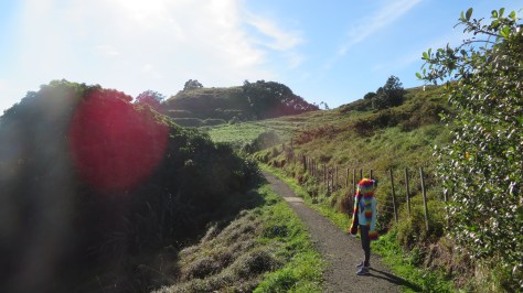
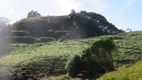
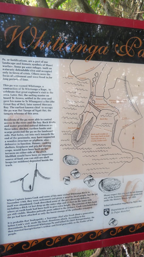
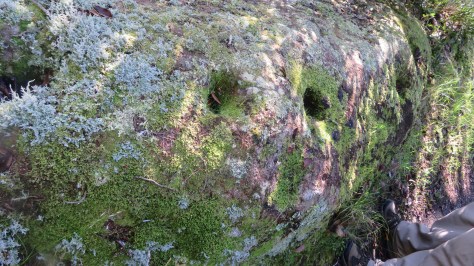
During the research for a post on Aucklandβs volcanoes I found an interesting Maori story about how the volcanoes came to be.Β The story referred to the Patupaiarehe but who or what were the Patupaiarehe?Β Obviously a bit of research was required…
Β 
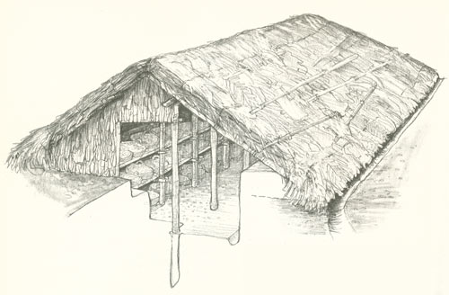
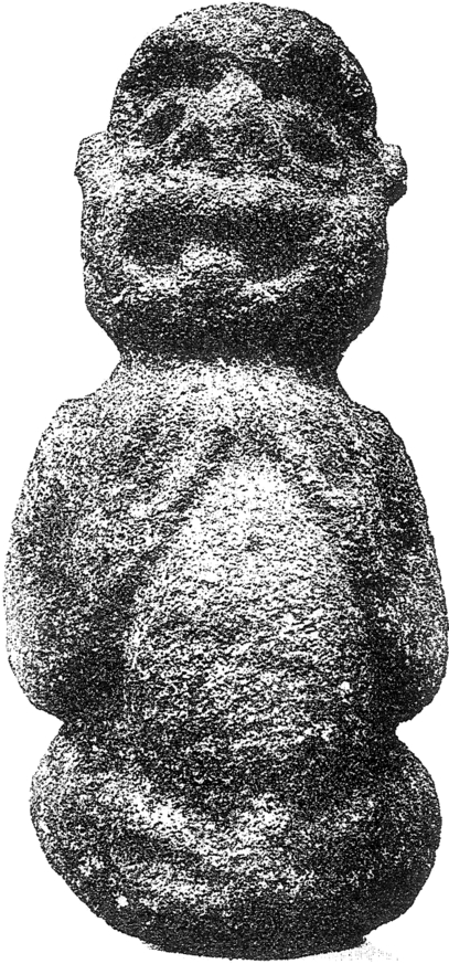
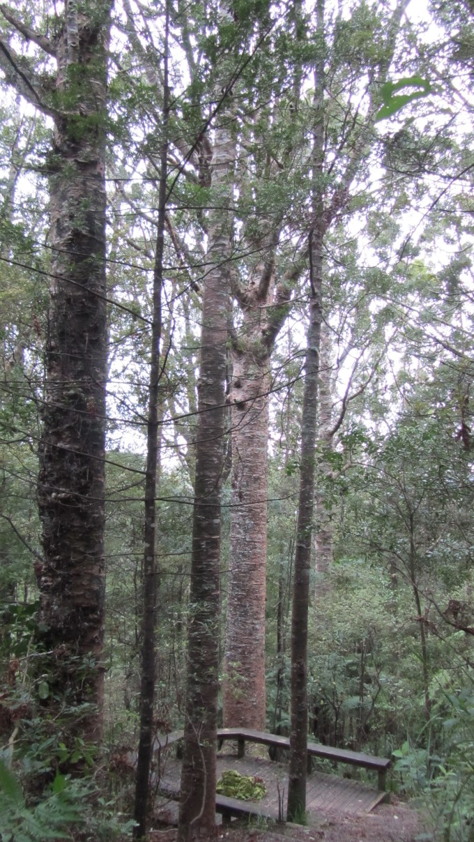
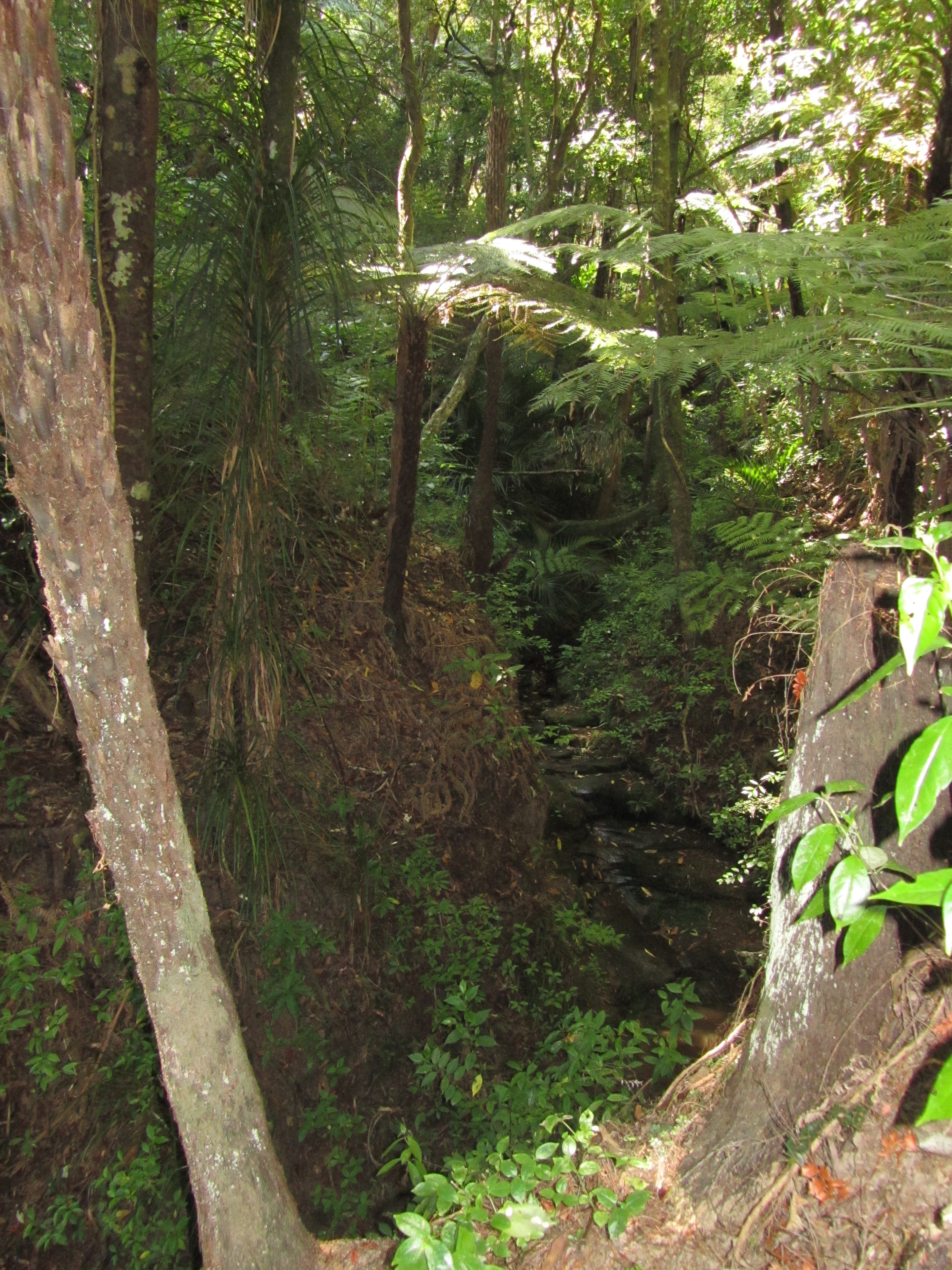
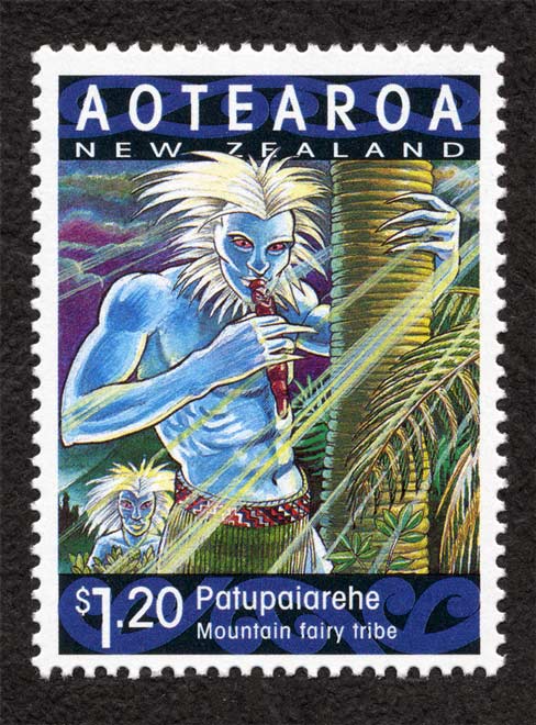
In Maori tradition the Patupaiarehe (also sometimes referred to as turehu or pakepakeha) were the first people of New Zealand β the first Tangata Whenua.Β They are supernatural beings who are rarely seen, fairy creatures of the deep forests and mountains, their houses builtΒ from theΒ swirling mists.
They have light skin, red or fair hair and unlike the Maori are never tattooed.Β There is some debate regarding their size, some say small, others say they are the same size as humans but then there are the traditions where they are giants.Β Sunlight was a curse to the Patupaiarehe, they only venture out in the night or when the mist was heavy enough to shield them from the sun.
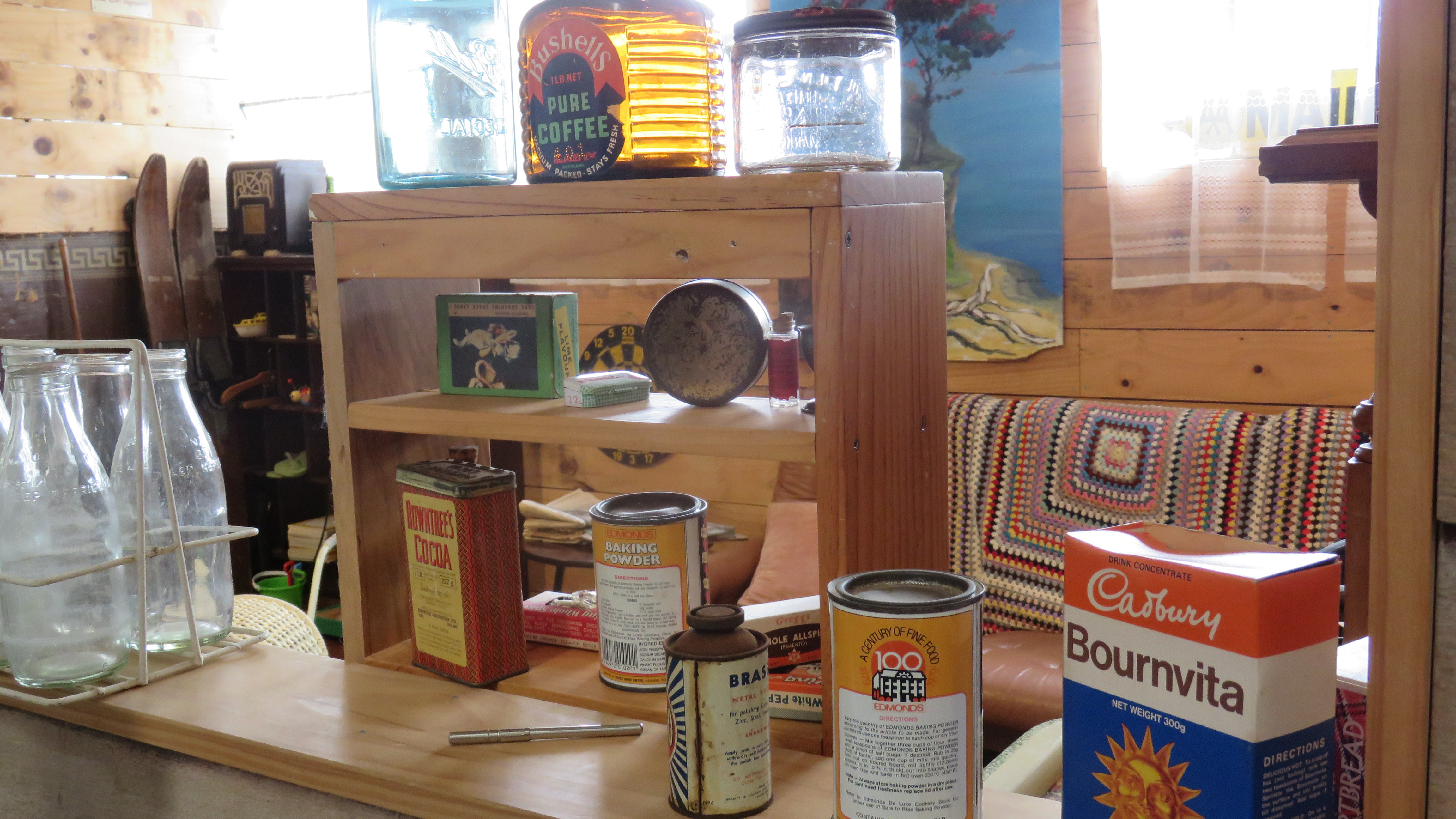
They were hunter/gatherers who ate only raw food β cooked food is an abomination to them.Β In some stories albino birds and eels, red flax and red eels were considered to be the sole property of the Patupaiarehe and woe betide any Maori caught taking these.
The Patupaiarehe men were known to lure people away from their homes, particularly attractive young women, they used the magical sounds of the koauau or putorino (types of flutes).Β No harm would befall the young women and they would eventually be returned home.Β It was believed the cases of red heads and albinos (the urukehu) among Maori were a result of the union between Patupaiarehe and Maori.Β Unfortunately, Maori men suffered much more, often being mistreated and in some cases killed.
Of course, if you did not want to be abducted by the Patupaiarehe there were several options available.Β Firstly, you could smear your house with kokowai, this was a mixture of iron oxide with shark oil β the smell was repugnant to them.Β Secondly, the uses of the cooking ovens or a fire as Patupaiarehe are very much afraid of fire and the smell of cooked food was enough to scare them away.
However, not all was bad between the Patupaiarehe and the Maori.Β Traditions tell how Maori gained knowledge of net making from the Patupaiarehe as well as makatu (magic arts) and atahu (love charms).Β String and stick games are also said to have come from these supernatural beings.
Β In 1894 an elder of the Ngati Maru, Hoani Nahe spoke of the Patupaiarehe and his words were recorded.
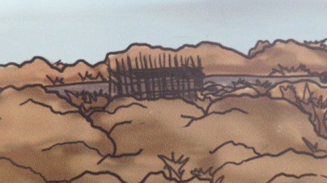
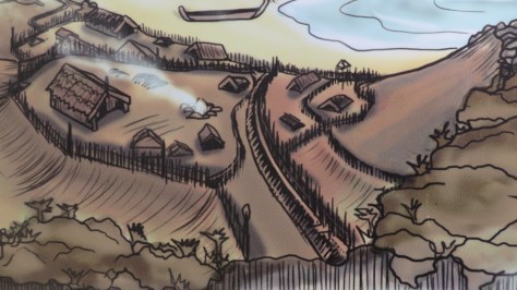
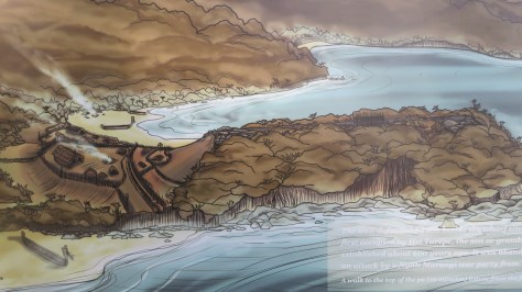
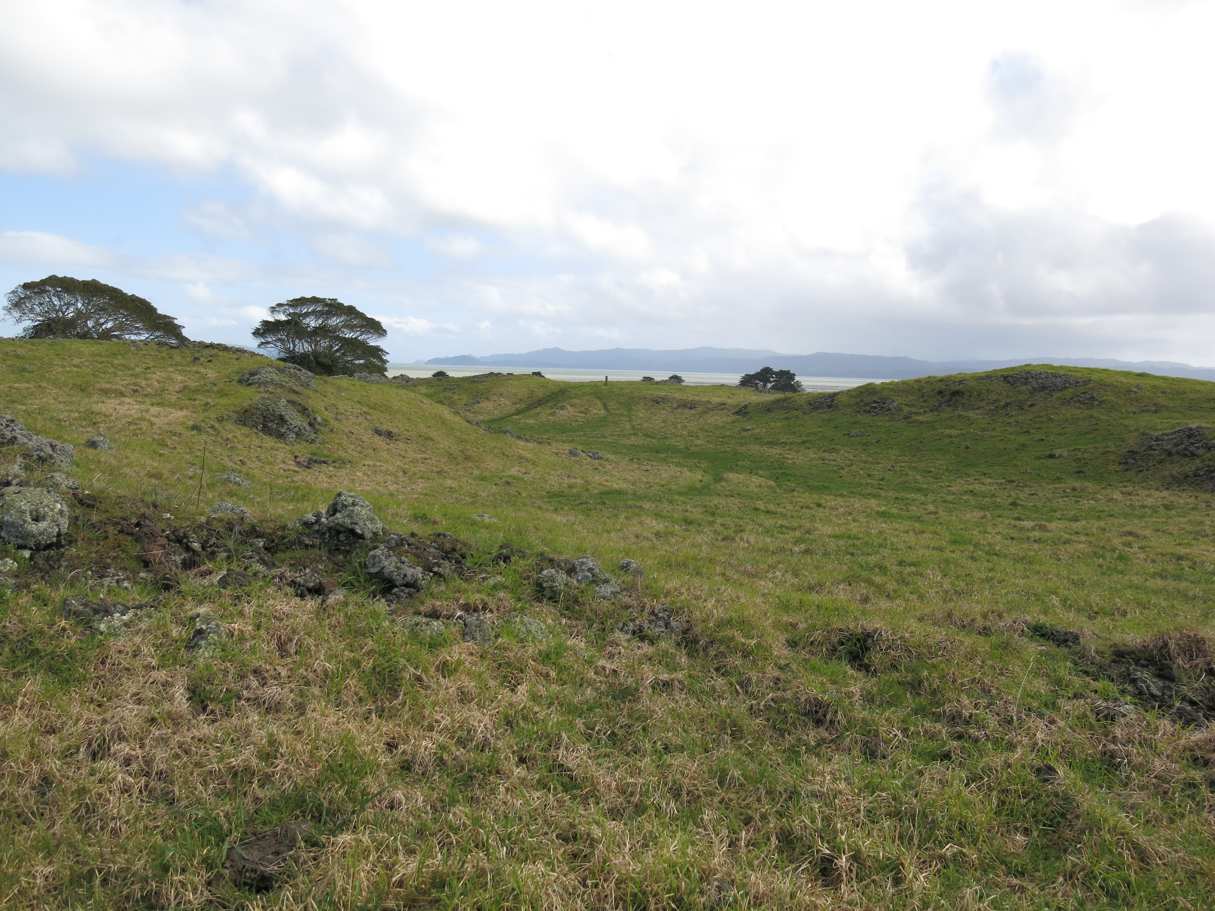
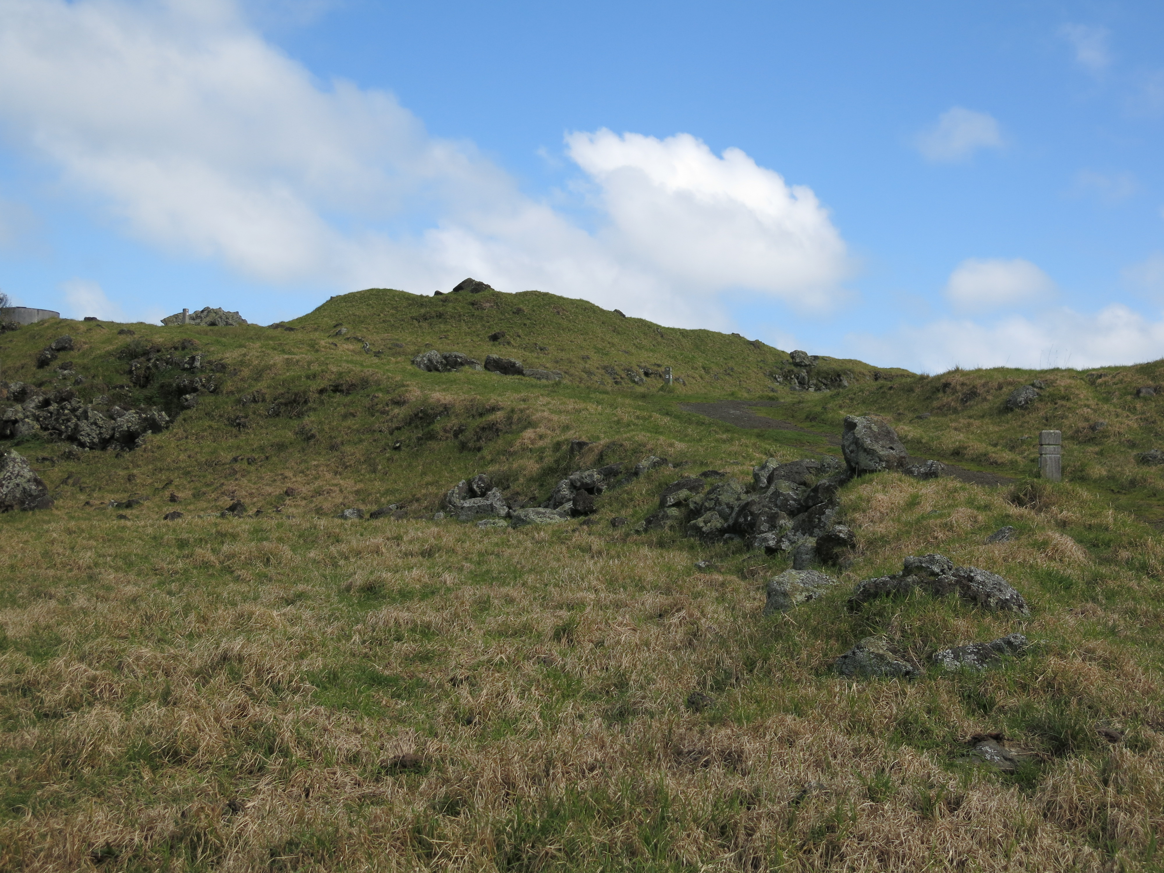
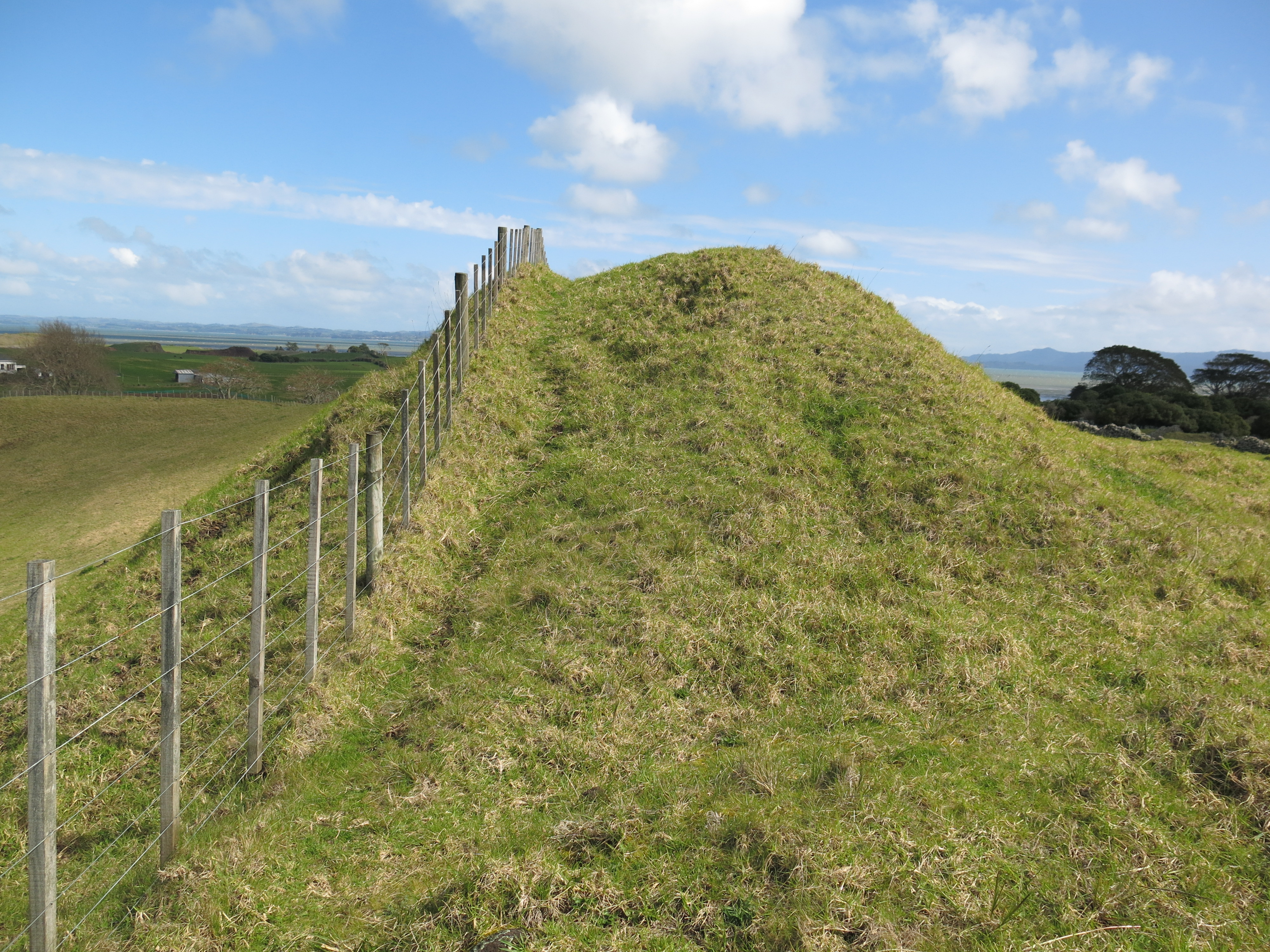
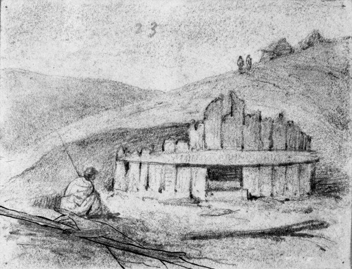
Β βNow listen. When the migration arrived here they found people living in the land β Ngati Kura, Ngati Korakorako and Ngati Turehu, all hapu or sub-tribes of the people called Patupaiarehe. The chiefs of this people were named Tahurangi, Whanawhana, Nukupori, Tuku, Ripiroaitu,Β Tapu-te-uru and Te Rangipouri. The dwelling places of these people were on the sharp peaks of the high mountains β those in the district of Hauraki (Thames) are Moehau mountain (Cape Colville), Motutere (Castle Hill, Coromandel), Maumaupaki, Whakairi, Kaitarakihi, Te Koronga, Horehore, Whakaperu, Te Aroha-a-uta, Te Aroha-a-tai, and lastly Pirongia, at Waikato. The pa, villages, and houses of this people are not visible, nor actually to be seen by mortal (TangataΒ Maori) eyes β that is, their actual forms. But sometimes some forms are seen, though not actually known to be these people β¦ Sometimes this people is met with by the Maori people in the forests, and they are heard conversing and calling out, as they pass along, but at the same time they never meet face to face, or so that they mutually see one another, but the voices are heard in conversation or shouting, but the people are never actually seen.
On some occasions also, during the night, they are heard paddling their canoes β¦ At such times are heard these questions: βWhat is it?β βWho are the people who were heard urging forward their canoes on the sea during the night?β or, βWho were heard conversing and shouting in the forest?β The answer would be as follows: βThey were not Tangata Maori, they wereΒ atua, Patupaiarehe, Turehu, or Korakorako.β
Like with so many stories there are those who believe the patupaiarehe are something more than just myth.Β There is a subculture within New Zealand who firmly believe that they were the descendents of Celtic tribes who discovered New Zealand some 3000 years before the first Polynesians, pointing at tribal groups such as the Ngati Hotu who historicallyΒ had instances of red hair and fair skin amongst their people when little or no intermarriages were known.Β This is a complicated issue and not one that can be dealt with lightly, whether true or not, the jury is still out on that one…
Celtic New ZealandΒ – Please note that whilst I do not necessarily agree with all that is written on this site I do believe we are all entitled to conduct research.
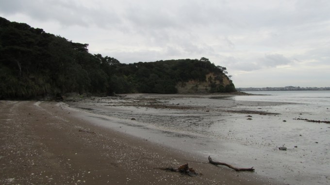
Stories and traditions are what make our cultures rich and the Maori have their fair share.Β Often such traditions are used to make sense of the world around us, I would dare anyone to venture deep into the New Zealand bush and not see the supernatural in its deepest darkest places.Β
Blue sea,Β blue sky, warm sunshine and a gentle breeze.Β Β It was a perfect dayΒ for a trip to the beautiful island of Kawau in the Hauraki Gulf .
Kawau Island is roughly 8 kilometers long and 5 kilometers wide, its highest point is Mt Grey at 182metres above sea level.Β Β Kawau is the Maori word for cormorant and although these birds may appear plentiful today it is undoubted that in times past they would have been far greater in number.Β For those wishing to experience island life access is by the service known as the Mail Run. The ferry to the island leaves from the seaside hamlet of Sandspit, just north of Warkworth and about an hour from Auckland. Full of day trippers slathered in sunscreen it visits the various wharves dotted along the sheltered side of the island delivering the mail, groceries and other goods.Β For the visitor it is a good introduction to an island which has only two short private roads and where the majority of properties rely on access to the sea.Β Neighbours visit neighbour either on foot or by boat and kayak.
School House Bay β there is no longer a school on the island. The few school age children go to school on the mainland.
Island History
Prior to the Europeans Kawau was often fought over by local Maori.Β During the 18th century a βpirateβ like group of Maori lived on the island β there are at least three known pa sites (two on Bon Accord Harbour and one in the north of the island).Β According to tradition the Kawau Maori would attack other Maori travelling around the island, something which was not tolerated for long.Β Eventually, other local iwi (tribes) from the mainland banded together and attacked the Maori of Kawau.Β Those on the island were completely massacred and tradition says a large feast ensued at Bostaquet Bay.Β A tapu was placed on Kawau making it no-go area for Maori β the tapu is still in place.
The next important phase of the history of the island began in 1842 with the discovery of copper and manganese.Β Miners were brought in from Wales and Cornwall to work the mines and smelting works.Β The population of the island at this time was approximately 300.
The remains of the smelting works can be seen in Bon Accord Harbour just along from the present day yacht club.Β On a small point between Dispute Cove and South Cove there is also the ruins of pumphouse constructed to alleviate flooding issues.Β The pumphouse would not look out of place in Cornwall.Β In 1844/45 the mine produced some 7000 pounds of Copper which represented a third of Aucklandβs exports for that year.Β Unfortunately issues with flooding, shipping and infighting resulted in the mines being closed down in 1855.
The remains of the smelting works at Bon Accord Harbour.
In 1862 Sir George Grey, then the Governor of New Zealand paid 3,700 pounds for Kawau Island and turned it into a private retreat.Β He turned the former mine managers house into the imposing mansion you see today and imported many exotic plants and wildlife to the island.Β In 1888 Sir Grey sold Kawau and Mansion house had several owners and in 1910 it became a guest house and a popular retreat for Aucklanders.Β The last private owner sold the house in 1967 to the Government for inclusion in the Hauraki Gulf Maritime Park.
Mansion House, Mansion House Bay – the ferry drops people off here to swim, picnic and walk island paths.
However it was not until the late 1970s was a plan put together to preserve the historical character of the island and thus the house.Β Today 10%Β of the island is in public ownership as the Kawau Island Historic Reserve (and includes Mansion House and Bay) which is administered by the NZ Department of Conservation.Β Β One of the many ongoing issues faced by the island is the damage done to the native flora and fauna by Sir Greyβs introduced species, namely the wallabies and possums.Β Both animals have been responsible for the destruction of much of the native bush.Β However, slowly but surely the tide is turning and now there are kiwi, bellbirds, tui, kereru and more returning to the island.Β Kawau Island is in fact home to two thirds of the entire population of the North Island weka.
One of the many weka who frequent the picnic benches…
Β
Kawau Island 2022
It was another sunny day and the ferry ride out to Kawau was as always a lovely way to spend the day. Unlike the previous visit, several years earlier, Mansion House was open to visitors. An opportunity not to be missed.Β
The following photos are of the interior of the house, in the main room there is a display of ethnographic and Maori items loaned to the Mansion House from the Auckland Museum.Β
The main room on the ground floor – meant for entertaining and impressing visitors.
Looking across the lawn to the sea.
The Dining room.
The Kitchen.
A view into the cellar.
The nursery.
The inner courtyard.
Some detail of the very elaborate bed of Governor Grey
And another fancy bed.
Mansion House.
Β
Life has been a little strange in the last two years but spending time on the sea and on Kawau was the much needed balm to soothe those frayed edges. Its peace and tranquility (even with peacocks) allowed the mind and soul to reset itself and I for one came home feeling refreshed and ready for whatever else might come my way.
For the majority of the time I will be blogging about either New Zealand or Cornwall and if you read the page which tells you about me, youβll know why.Β But as a first post I thought I would share a little of the early history ofΒ the place I call home.Β I live in a small suburb on Aucklandβs North Shore β Birkdale.Β Wedged between the greater suburbs of Birkenhead and Beachhaven it tends to be forgotten a little or included into the either of those other suburb and to be honest, the story of Birkdale is inextricably tied to the stories of both Beachhaven and Birkenhead.
Early History
The isthmus of Auckland (Tamaki Makau Rau) is thought to have been first settled around 1350.Β A combination of fertile soil for horticulture and two harbours with abundant resources resulted in a thriving population.Β On the volcanic peaks (Mt Eden, One Tree Hill etc) which dominate the Auckland skyline there is ample evidence of these early settlements.
The area of Birkenhead, Beach Haven and Birkdale was densely forested and as a result not as heavily populated but it was the sea which drew people to the area.Β The sea provided an abundance of resources for Maori from flounder in the Kaipataki Inlet, shellfish from Oruamo Creek and the shark fishing grounds just below Kauri Point.Β Evidence for this can be seen in the form of coastal shell middens found all around the coast.
Traces of a shell midden.
Occupation sites are difficult to pinpoint but there is some evidence from oral histories and archeologically of an important pa (hillfort) called Te Matarae a Mana in the area of Kauri Point/Quarrymanβs Bay during the 1700s.Β In addition it is believed there is at least two other headland pa in the area, although all trace of these no longer remain.
This headland seen from the beach at Kendalls Bay is thought to be the site of an important pa (defended settlement).
The musket wars of the 1800s decimated the local populations of Maori and by 1844 the area of Beach Haven was sold to the new settler government and became deserted.Β Eventually, European settlers began to arrive hoping to carve out a new life for themselves.Β One of the first families to arrive was the Gruts from the Jersey Islands in 1857.Β But life was much harder than many anticipated, the heavy clay soils and dense bush took its toll.
Although the city seems so very close to this part of the North Shore, back then before the harbour bridge the only way to market was by ferry/boat as the overland route was long and arduous.Β The first ferries ran from what is now downtown Auckland to Birkenhead in 1854 and remained a vital lifeline for people up until the Harbour Bridge was completed in April 1959.
The view to the city and harbour bridge from Birkenhead wharf.
Strawberries
In the 1870s several families had a breakthrough in the form of growing fruit trees, and by the 1880s some thirty orchards were recorded in the area around Zion Hill in Birkenhead (then known as Woodside) with more being established towards Beach Haven and the present day Birkdale.Β During the late 1800s it was discovered that strawberries grew particularly well in the area.Β Strawberries and fruit in general, quickly became a major part of the economy.
The whole community were involved in the strawberry picking β Birkdale Primary School was known to be lenient about homework during the picking season.Β The strawberry fields became so well known that people would ferry over from the city at the weekend for strawberry afternoon teas and in 1898 the Thompson family began making jam in Birkenhead which eventually became New Zealands largest jam company of Thompson and Hills.
A mural at Birkdale Primary School depicts the areas settler history.
Birkdale Primay is the oldest school on the North Shore.
This prosperity encouraged even more people to settle the area and in 1888 Birkenhead (which then still included Beach Haven and Birkdale) became a borough and its first mayor was elected β Charles Button.
Gumdiggers
One of the most impressive features of the North Shore bush is the magnificent Kauri (agathis australis) trees.Β Around the roots of these trees it is possible to find a resin called Kauri gum. This gum forms when the resin leaks out of the cracks in the bark, it hardens when exposed to air and lumps will fall from the tree eventually fossilising.Β In appearance it looks very similar to amber.
There are still some impressive groves of the mighty kauri standing in the area.
Maori had many uses for the gum, fresh it could be used like chewing gum (kapia) and as it is highly flammable it made a good firestarter.Β When it was burnt and mixed with animal fat it became the dark pigment in moko tattooing.
For the European colonists the export of Kauri gum was of major importance, for Auckland as a whole it was the main export for most of the second half of the 19th century.Β Between 1850 and 1950 some 450,000 tons were exported to England.Β Its principle use was as a varnish.Β Kauri gum when heated mixed easily with linseed oil and at lower temperatures and by the 1890s some 70% of all oil varnishes in England used Kauri gum.
The people who harvested the gum were often transient living in rough huts or tents, it was hard work and not very well paid.Β Even so, in the 1890s 20,000 people were recorded as being engaged in gumdigging throughout Auckland, Northland and the Coromandel.Β At one point digging for Kauri gum even became a weekend activity for the city side dwellers of Auckland with many catching the ferry to Birkenhead to dig for gum around the suburb.Β It became such a problem with roads being potholed and private farms dug into, that local authorities brought in special measures to control the matter.
As it was the quality of the gum in Birkenhead was not as high as elsewhere and eventually the gum ran out, the last permit was issued to a Mr Wheeler of Verranβs Corner in 1931.
From this point on the history of the area now becomes one of entreprenurial settlers, familiesΒ and a sugar factory.
Hinemoa St in Birkenhead – the original shopping precinct just up the road from the wharf.