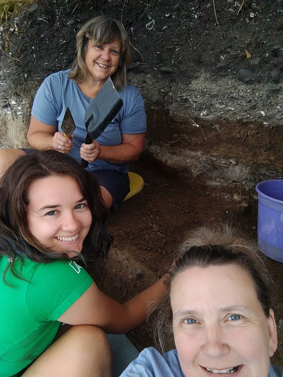
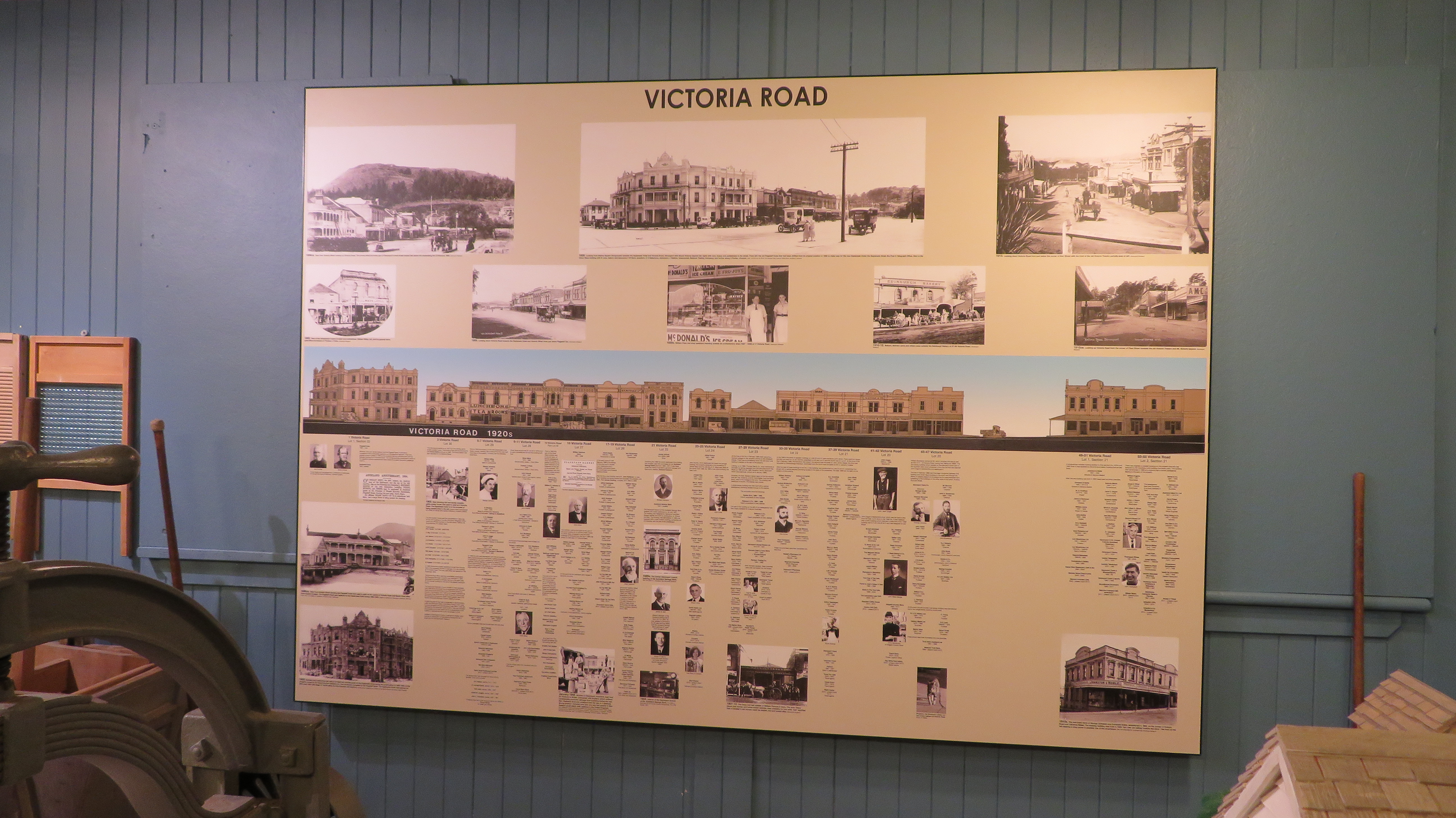
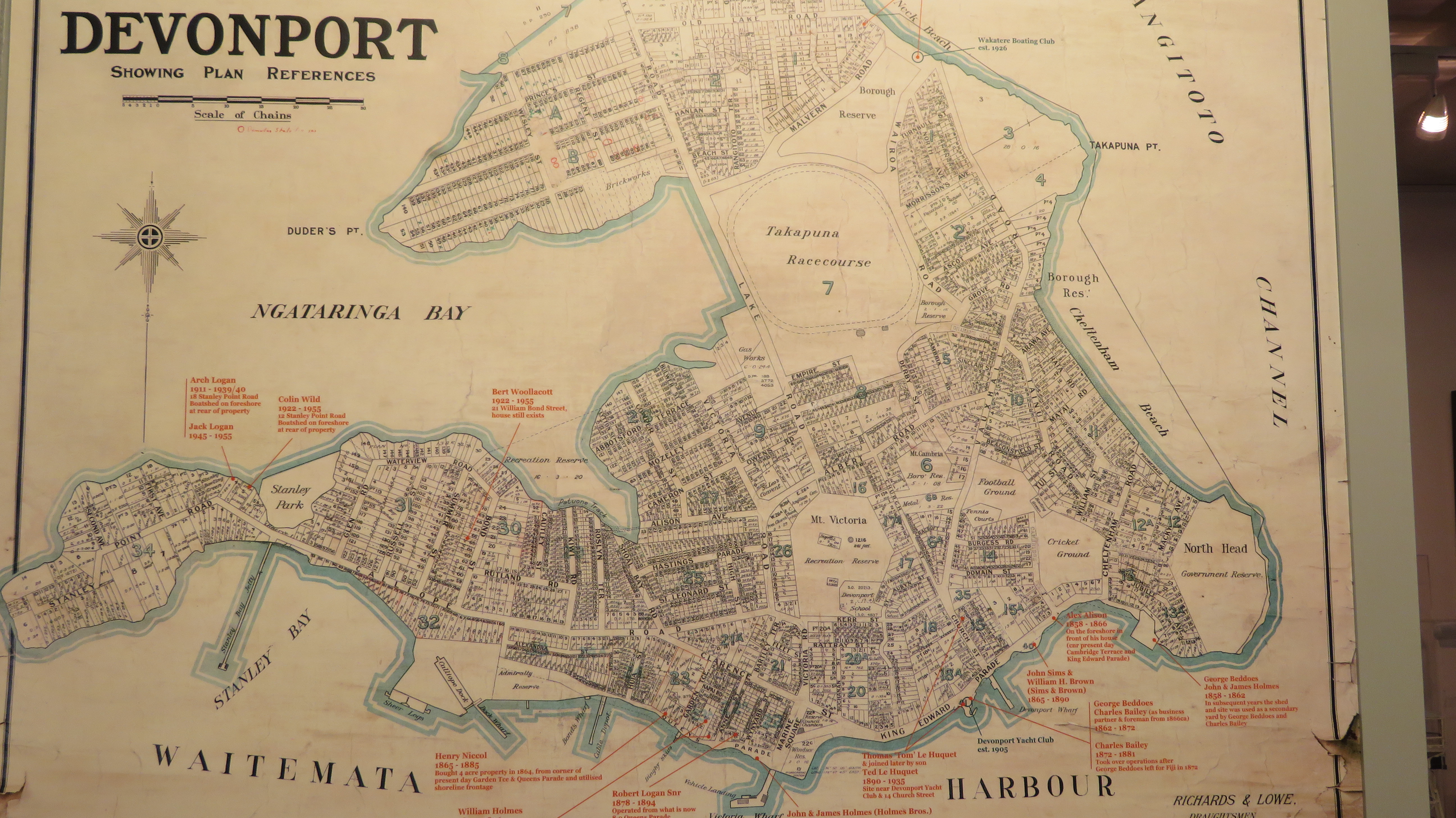
Museums have always been a favourite place of mine. If you ever want to really understand a place then visit the local museum. In New Zealand there appears to be a museum for everything, not all tickle my fancy – thus a car museum or a military museum are not really for me. However, this summer I had the opportunity to visit a number of museums around the south island of New Zealand that, well, did do it for me. These were mostly the small regional museums that told the story of the places they were part of.
Below you will find a few impressions of the museums I did get to visit, there were far more than I actually had either the time and my family’s patience to visit.
Our tour of South Island museums begins on the east coast in the tourist mecca of Kaikoura…
Kaikoura
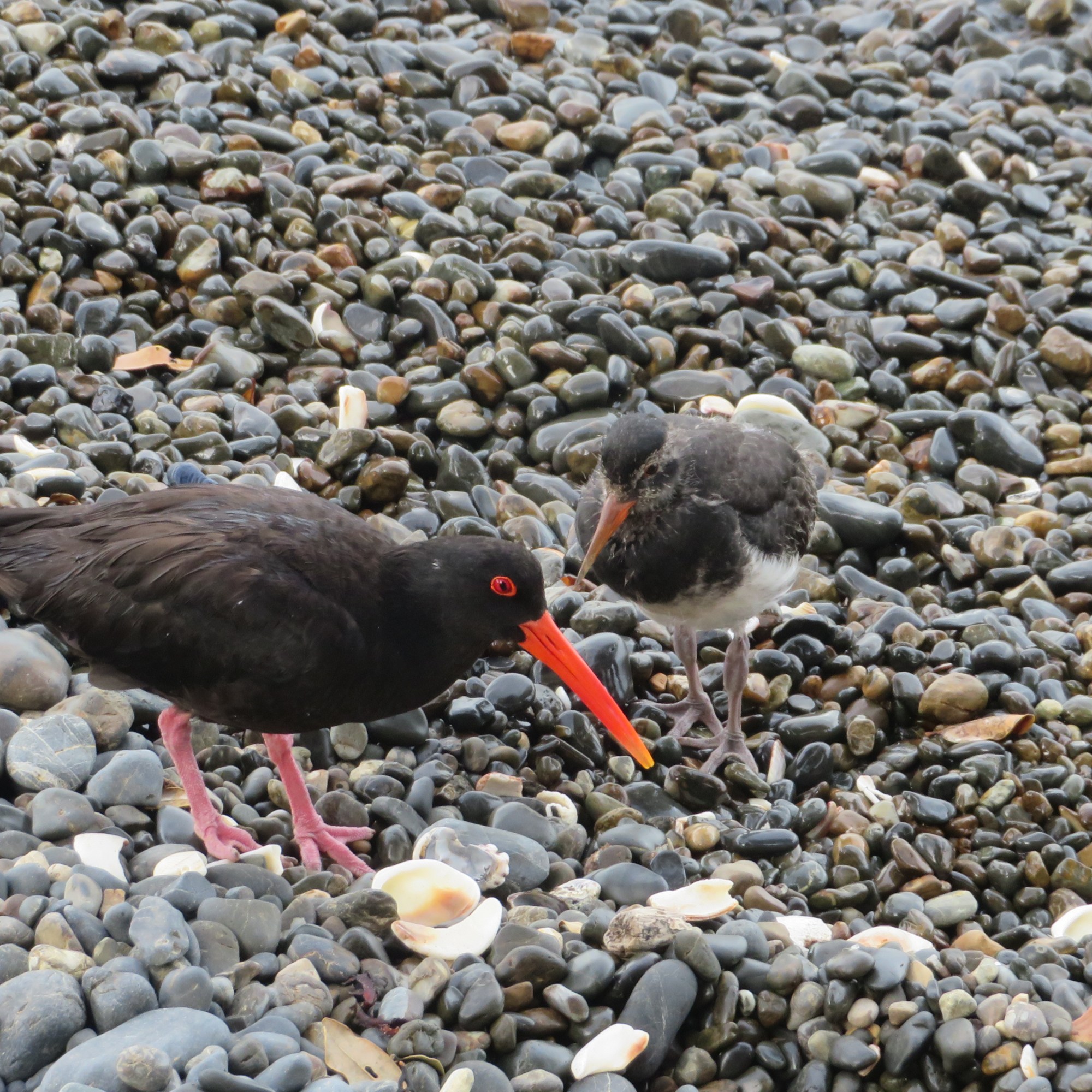
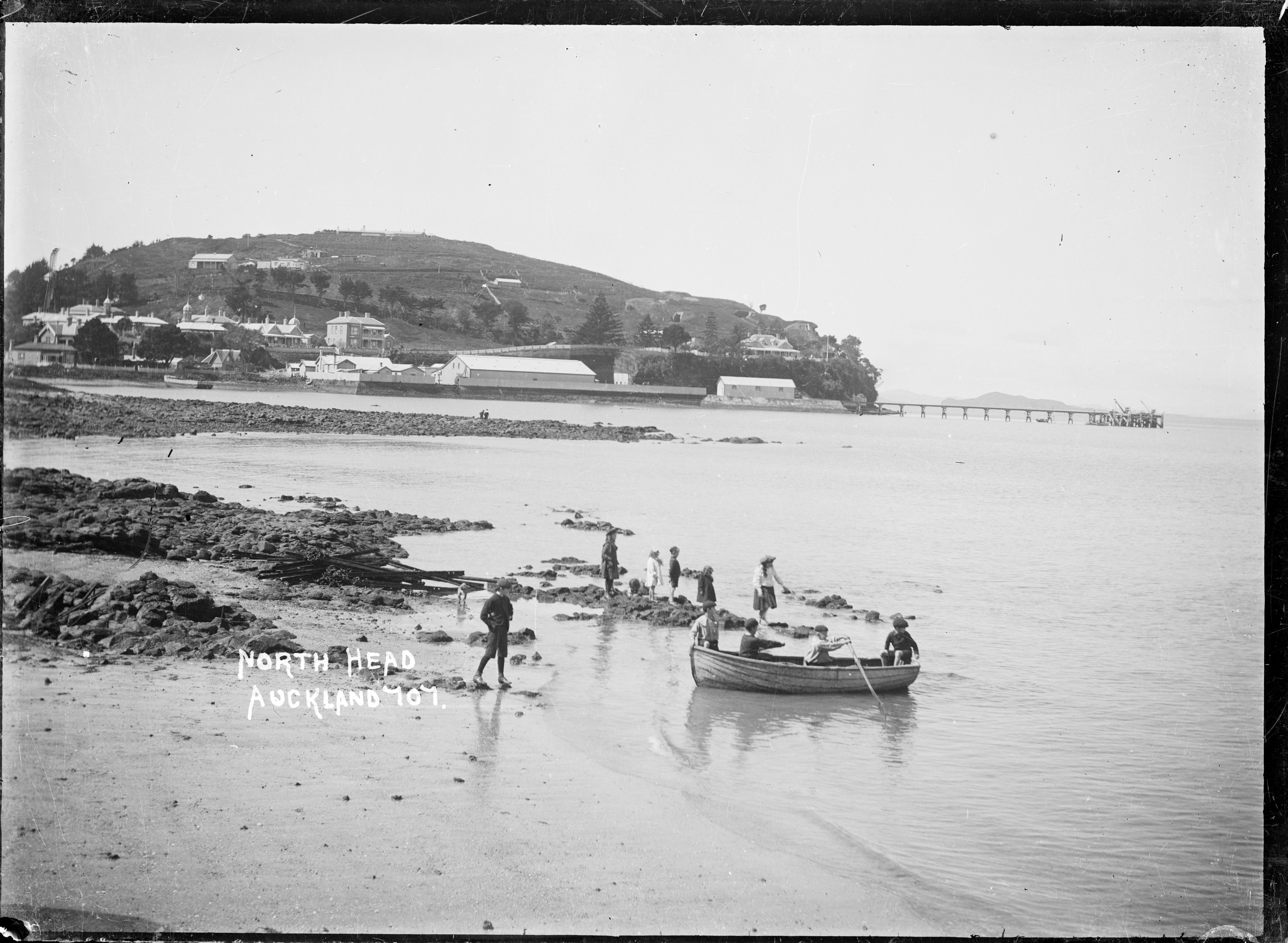
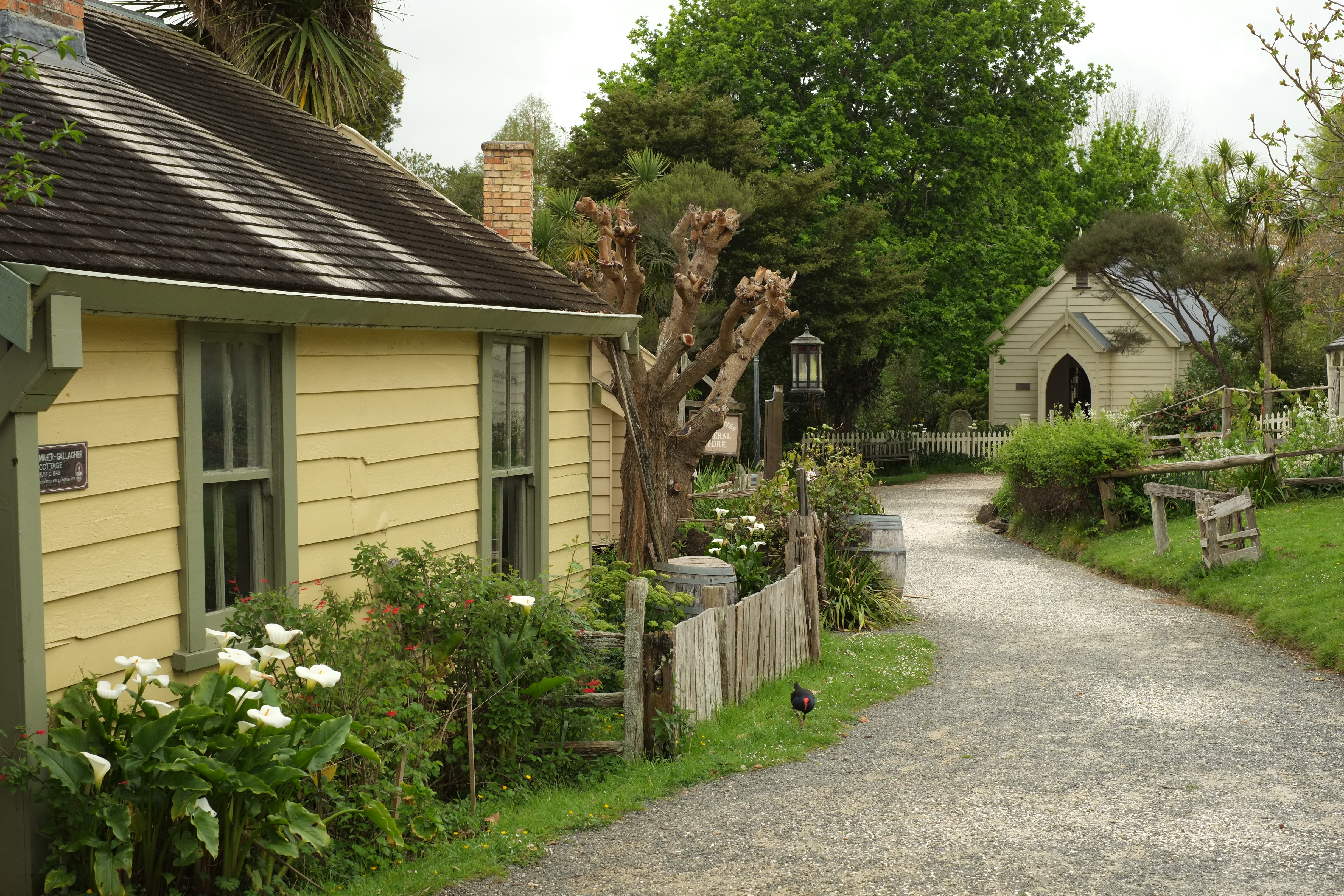
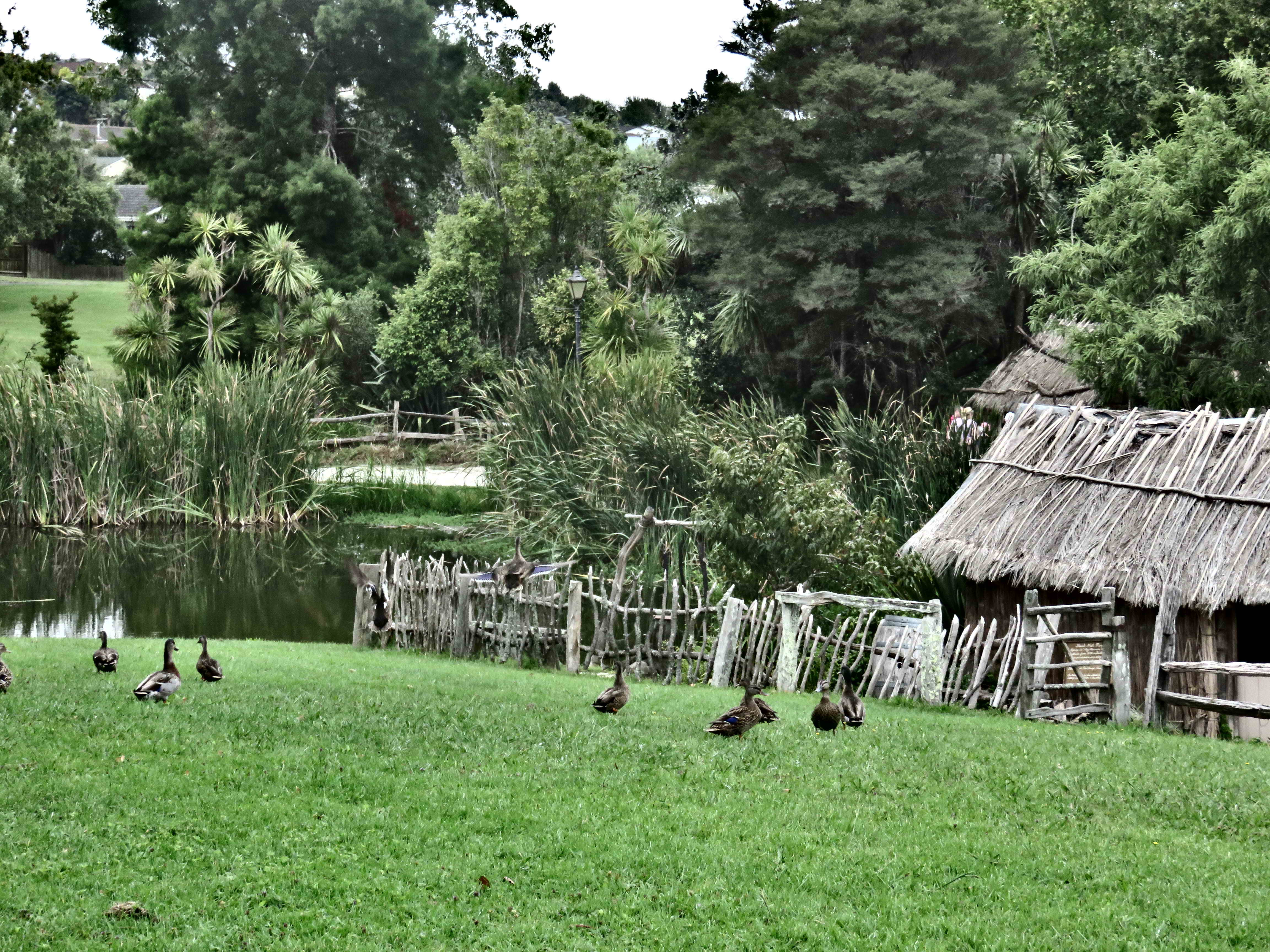
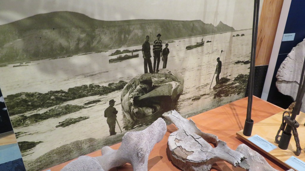
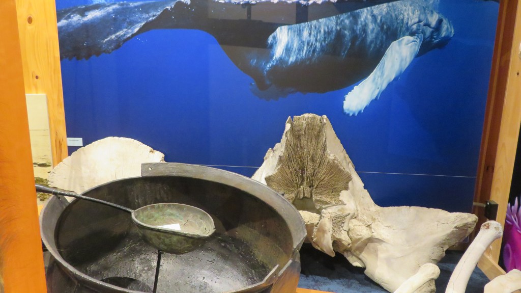
Kaikoura is a small town on the east coast of the south island famous for whale watching and crayfish. In fact, the Maori word for crayfish is ‘koura’ (kai meaning food or to eat). In recent times it was hit by major earthquake which did substantial damage to the town, the landscape and the people.
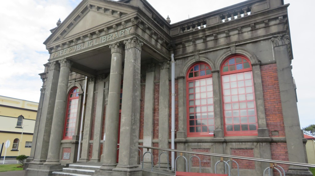
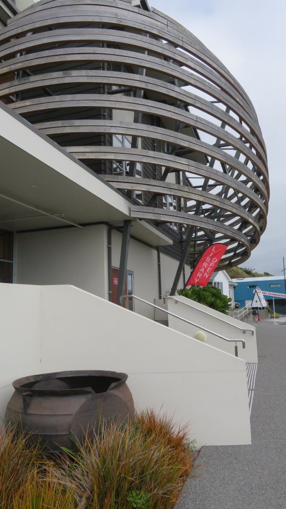
The museum is situated opposite the I Site in a unique building known locally as ‘the craypot’. The first museum in the area was established in 1971 and was originally situated in an old warehouse. A grant from the Lotteries Heritage Fund enabled the museum to move to its new headquarters and it was opened in 2016. Governed by the Kaikoura Historical Society it tells the history of the area from its earliest times through to the recent earthquake.
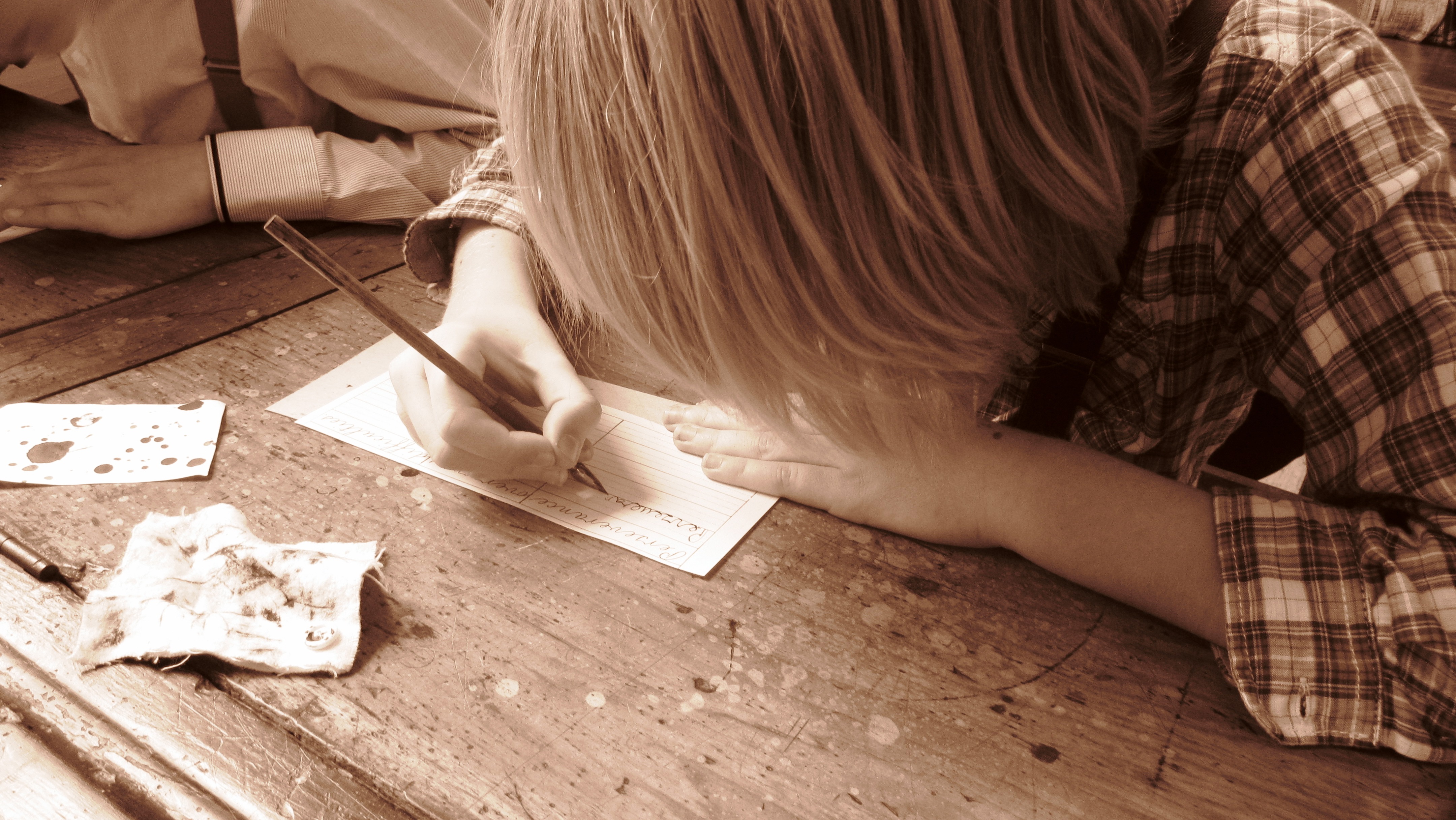
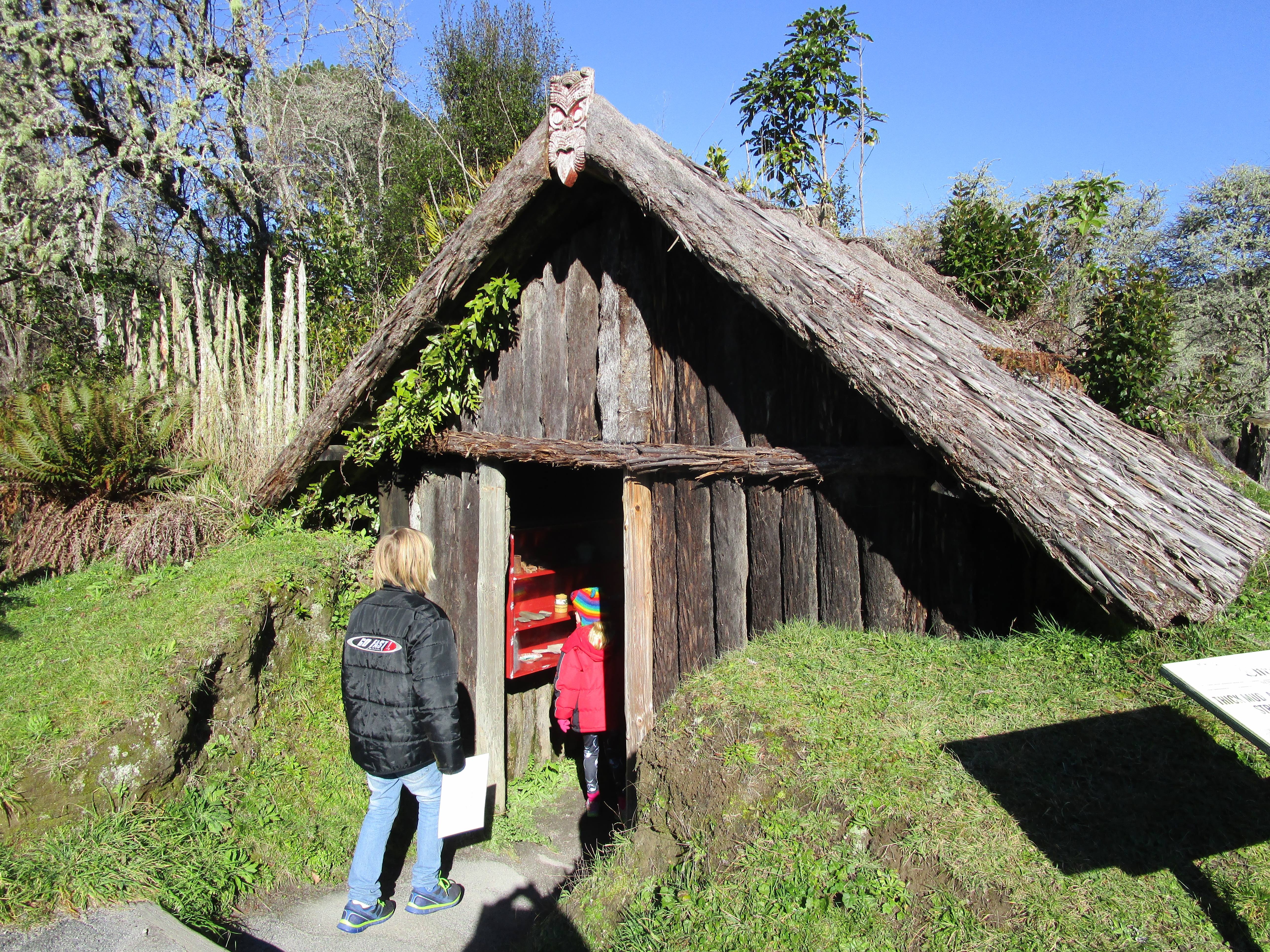
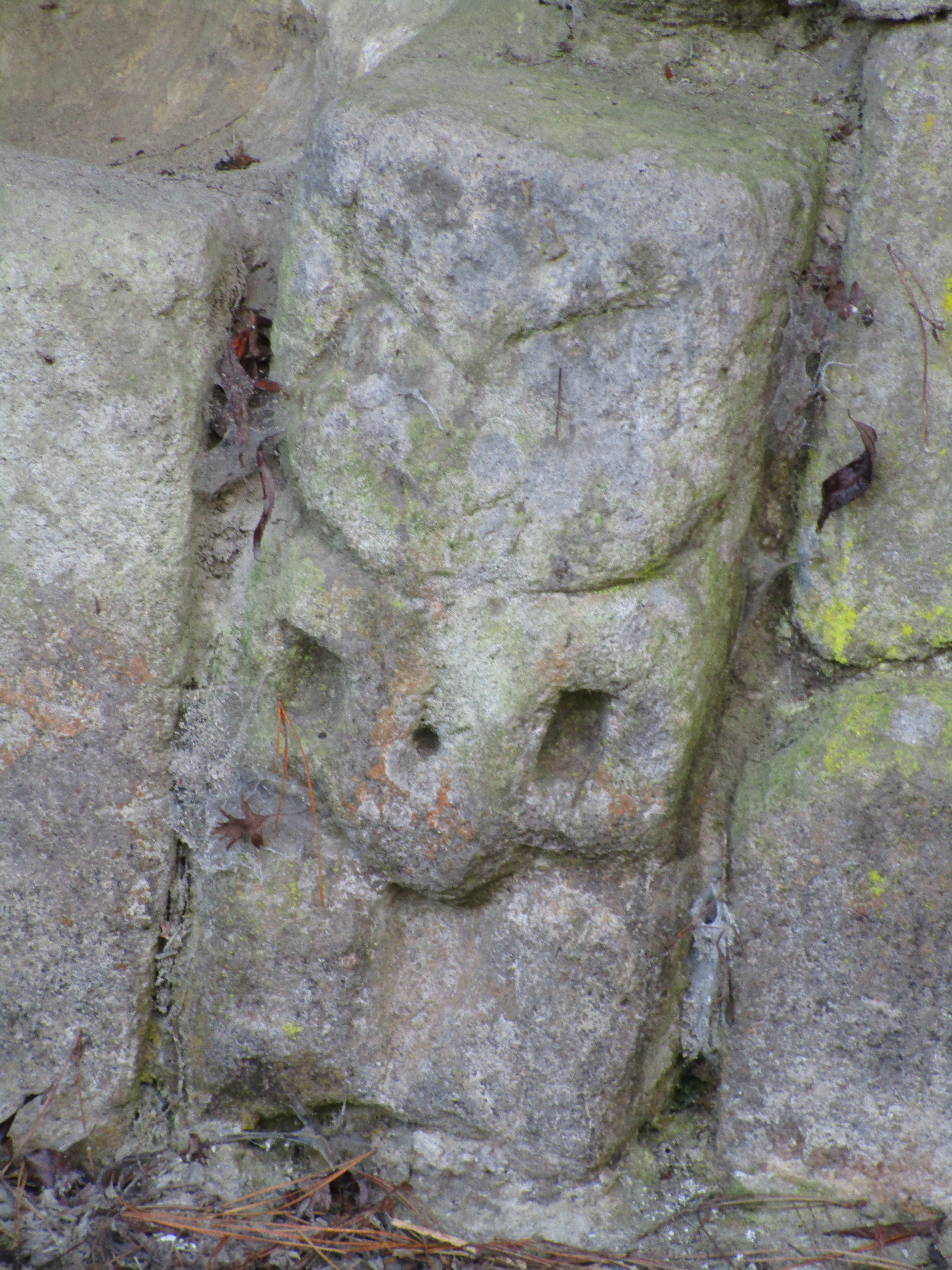
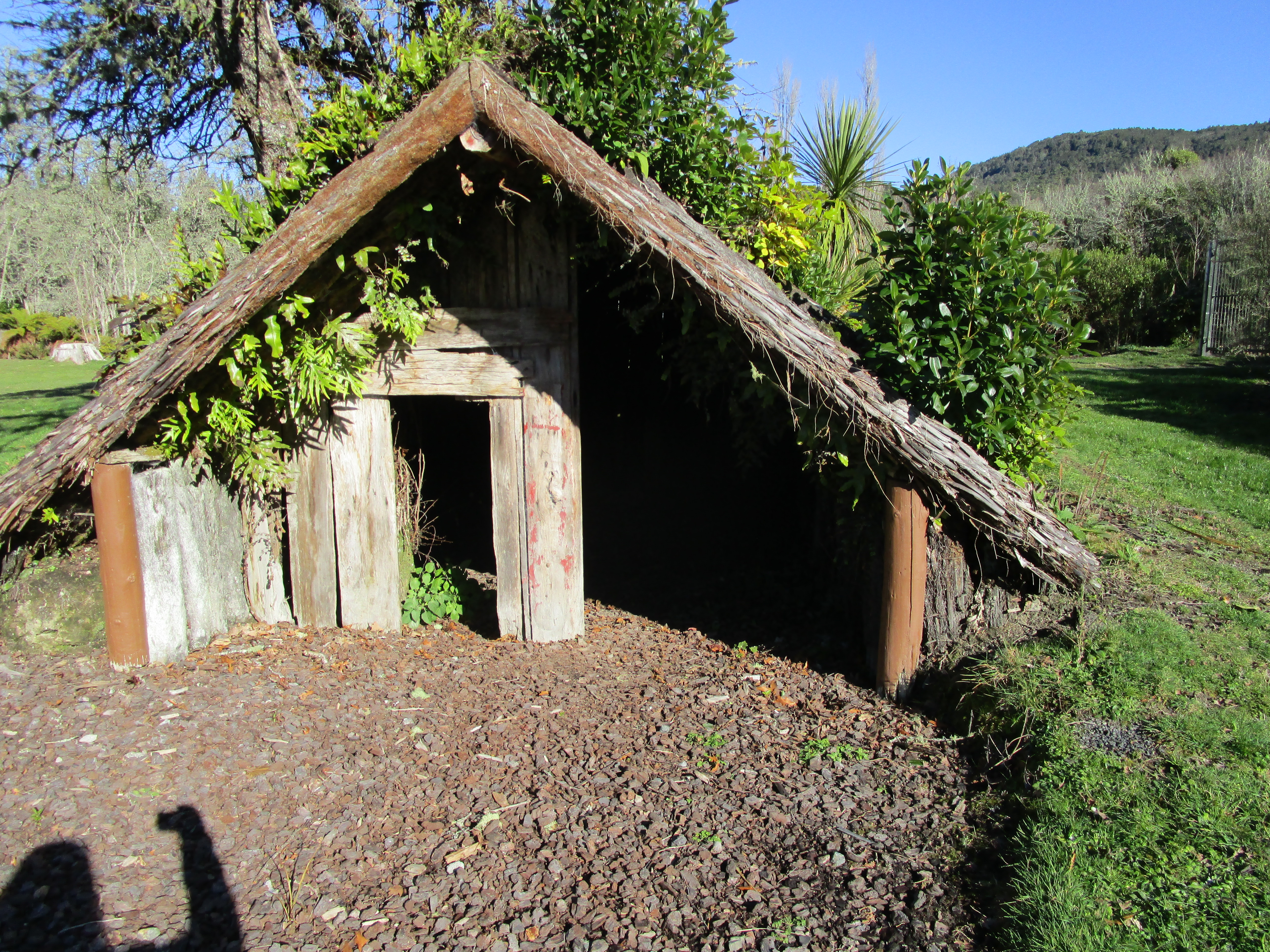
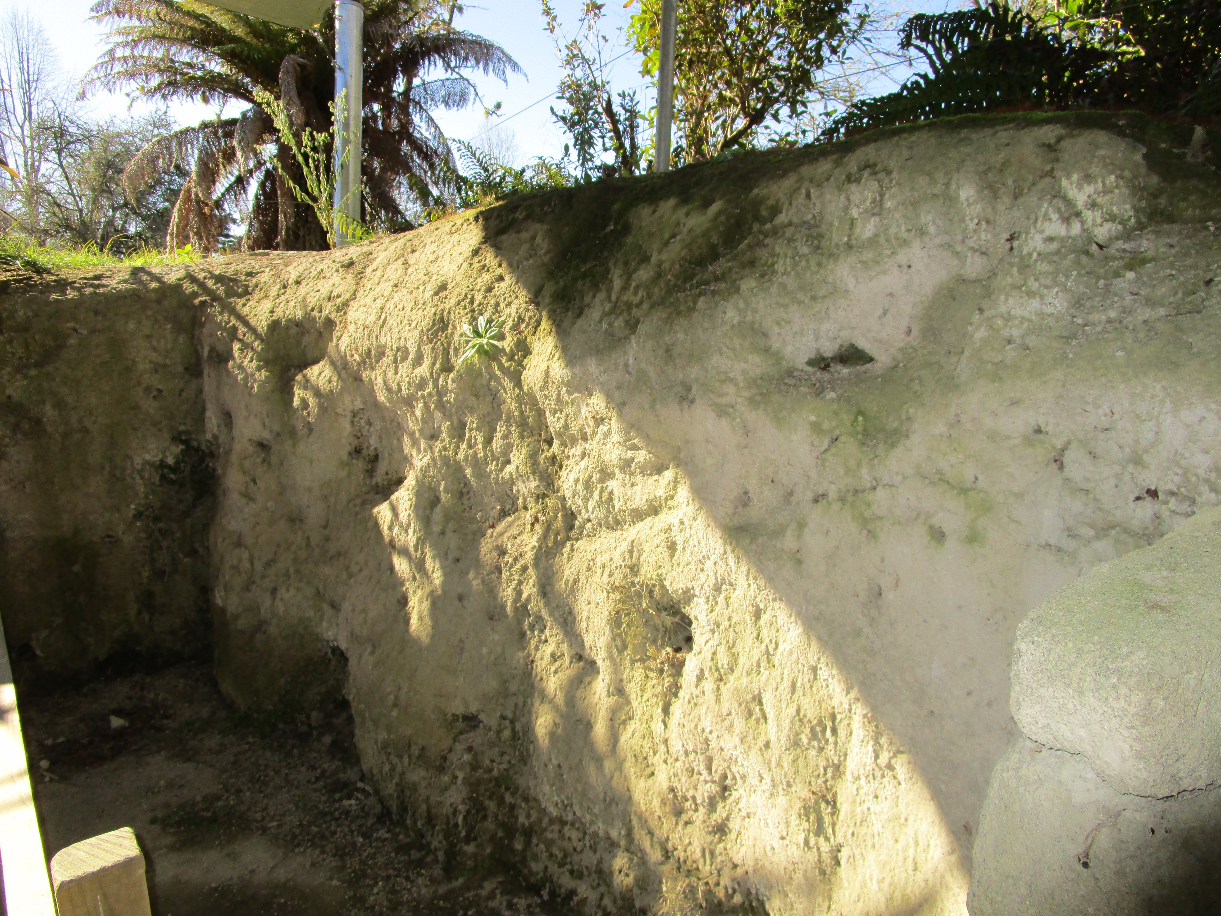
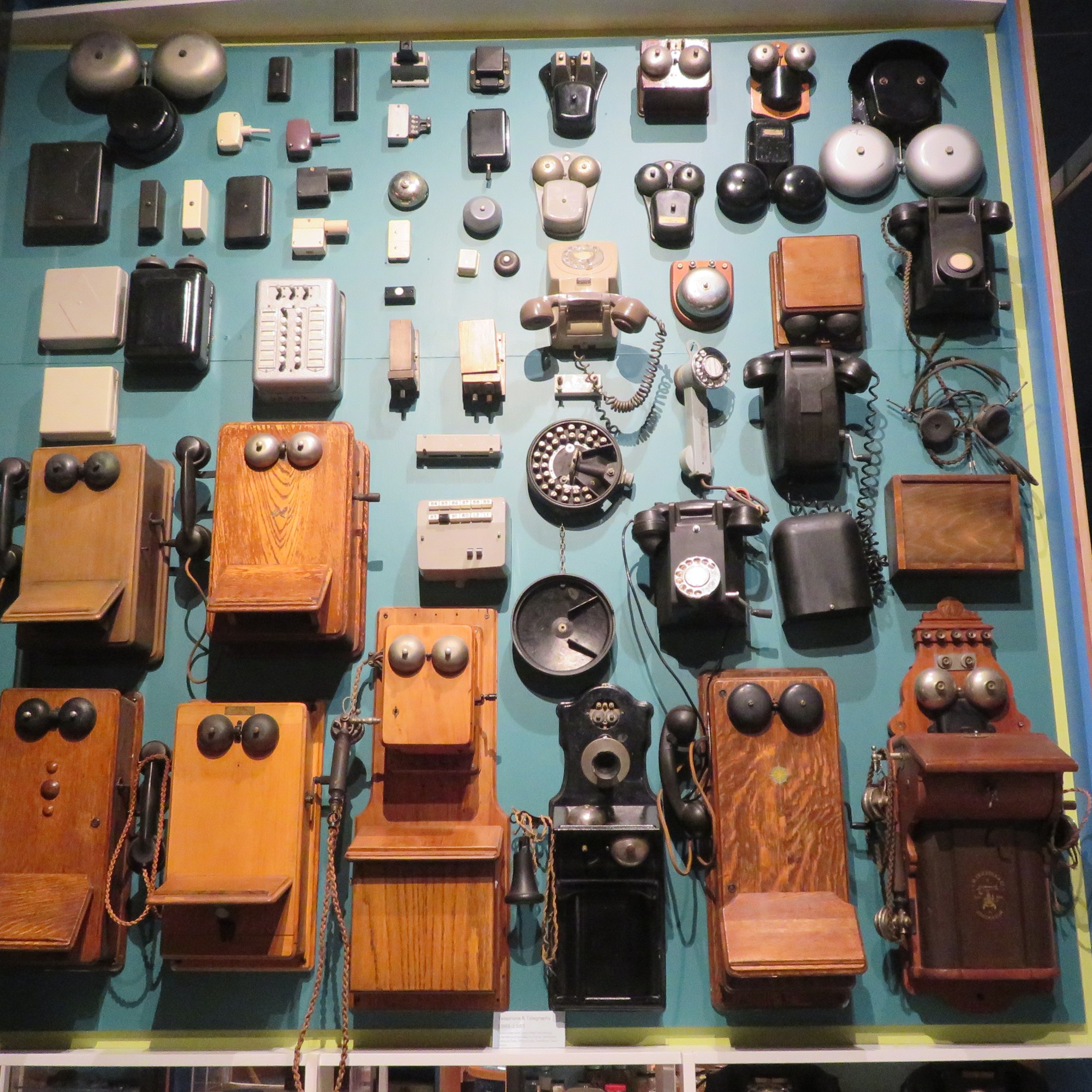
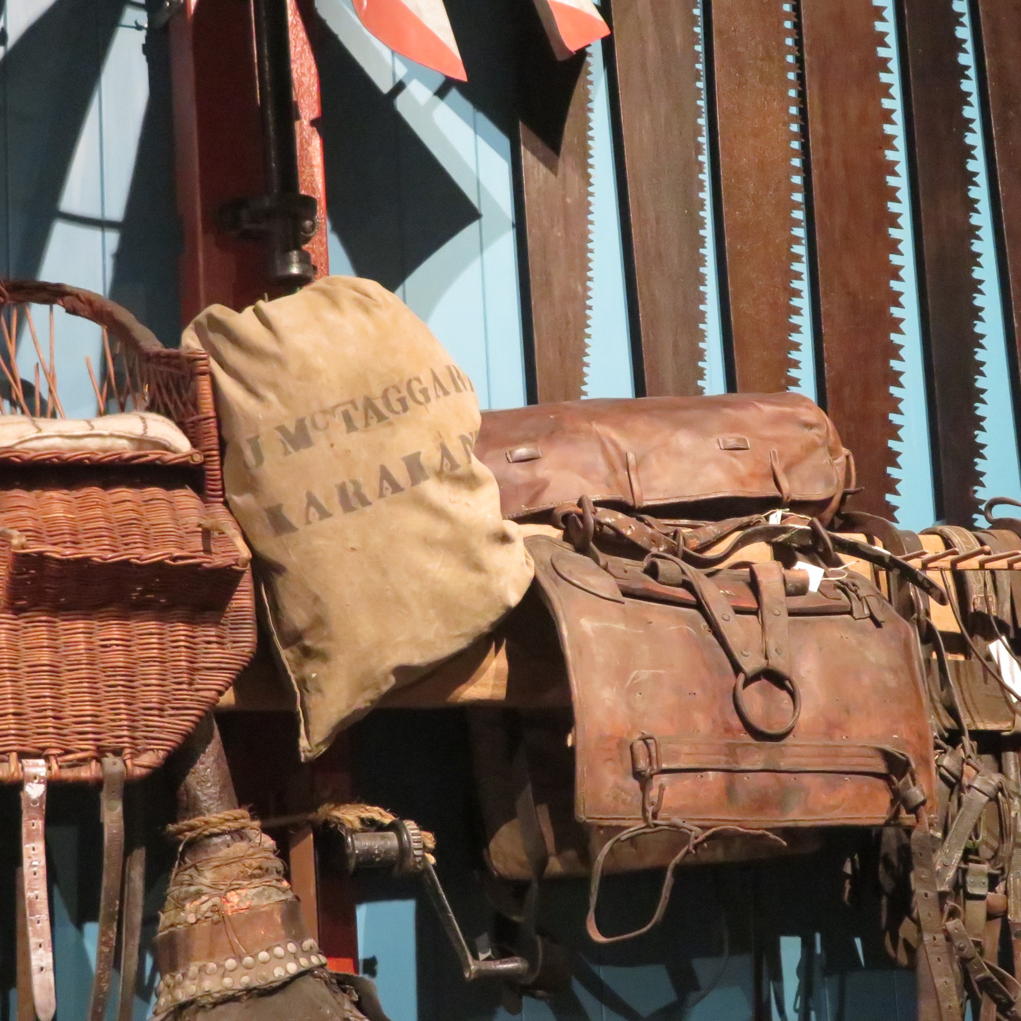
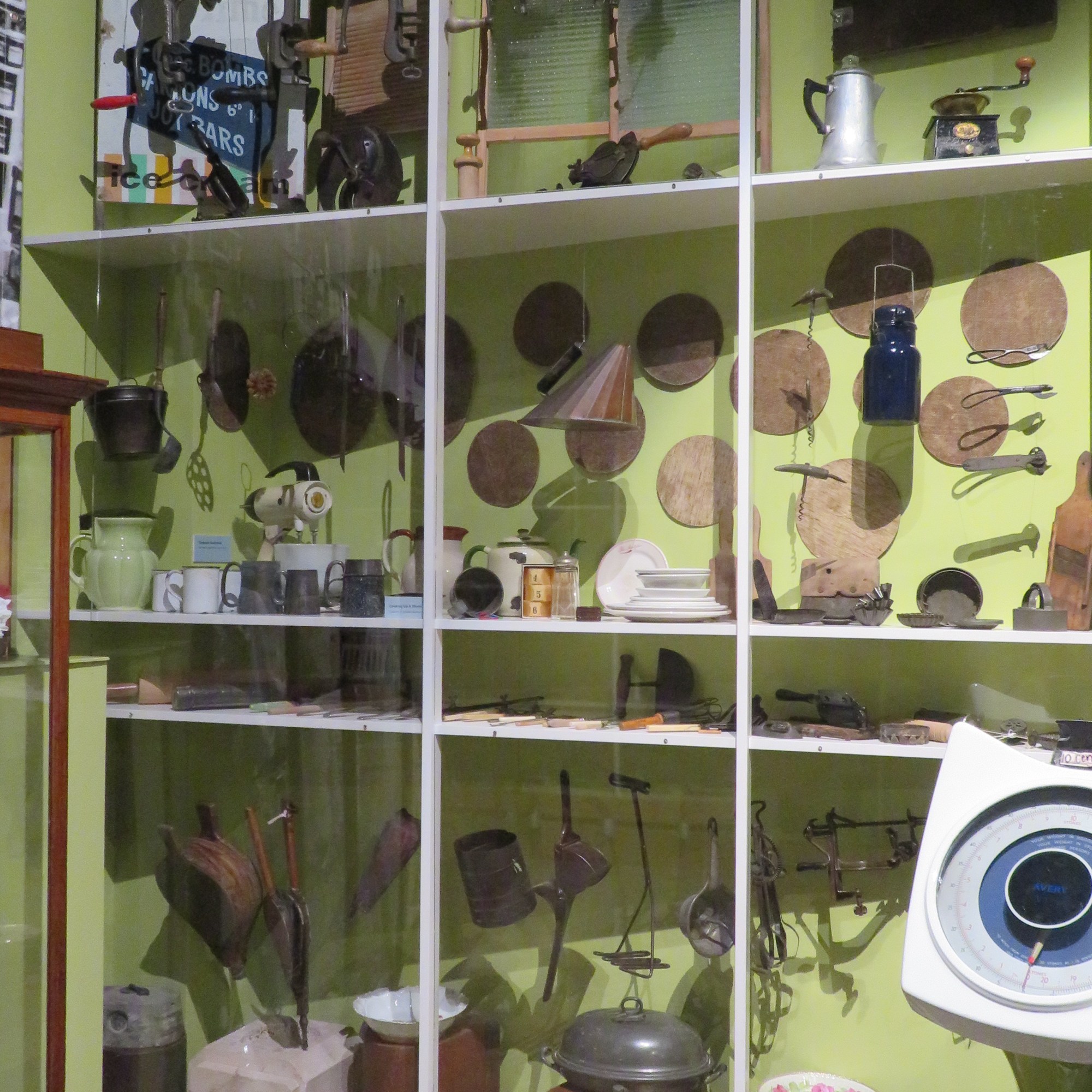
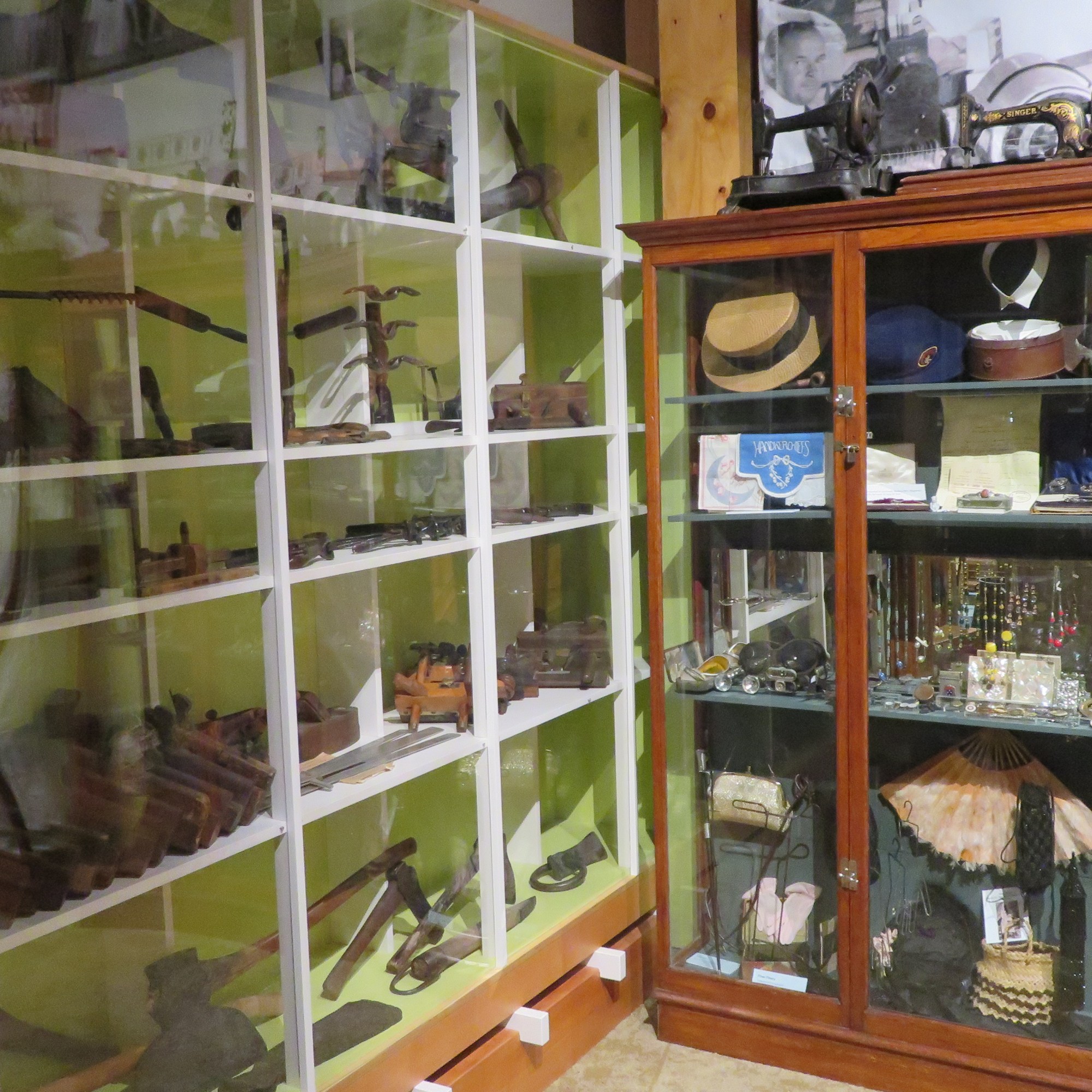
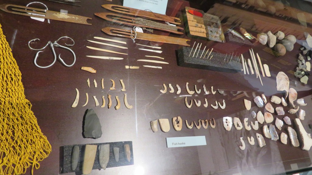
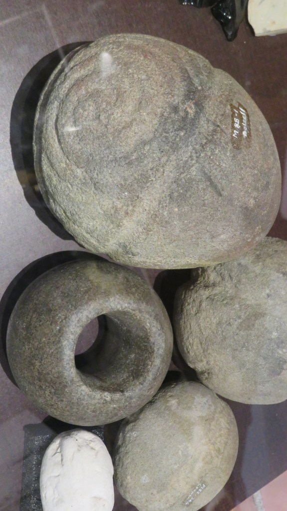
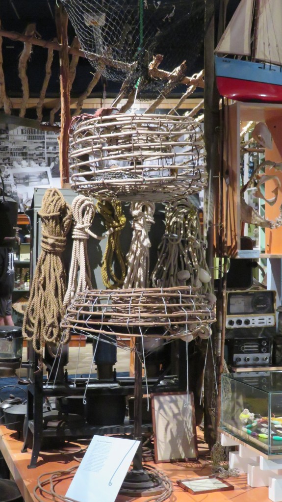
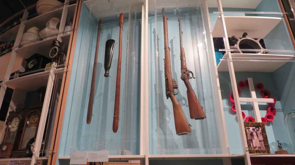
The museum space itself is not huge but it does cram a lot in, as to be expected in such a history rich area. Each section has been thoughtfully set out to explain a part of the regions history, from the natural environment, early settlers, fishing, whaling and more. One of the many issues facing many local history societies is the amount of items which are donated to them and how to properly display them with sensitivity to those who generously donate. At the Kaikoura museum I was impressed with the collections of items such as the saddles or the telephones – each showing the changes over time.
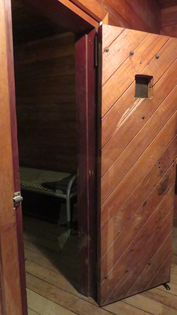
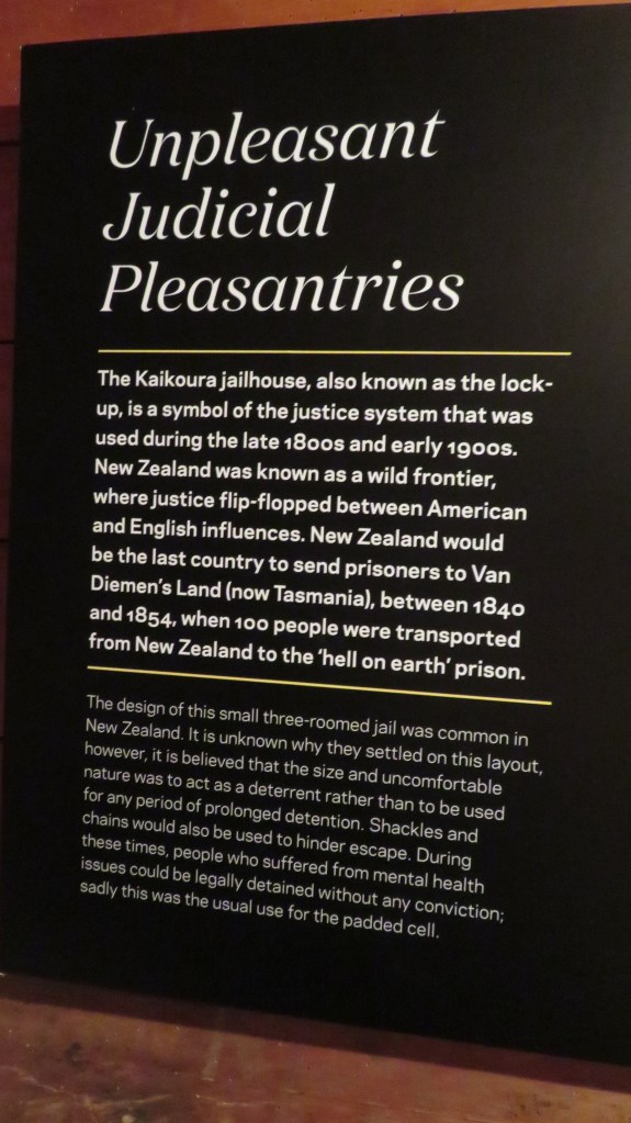
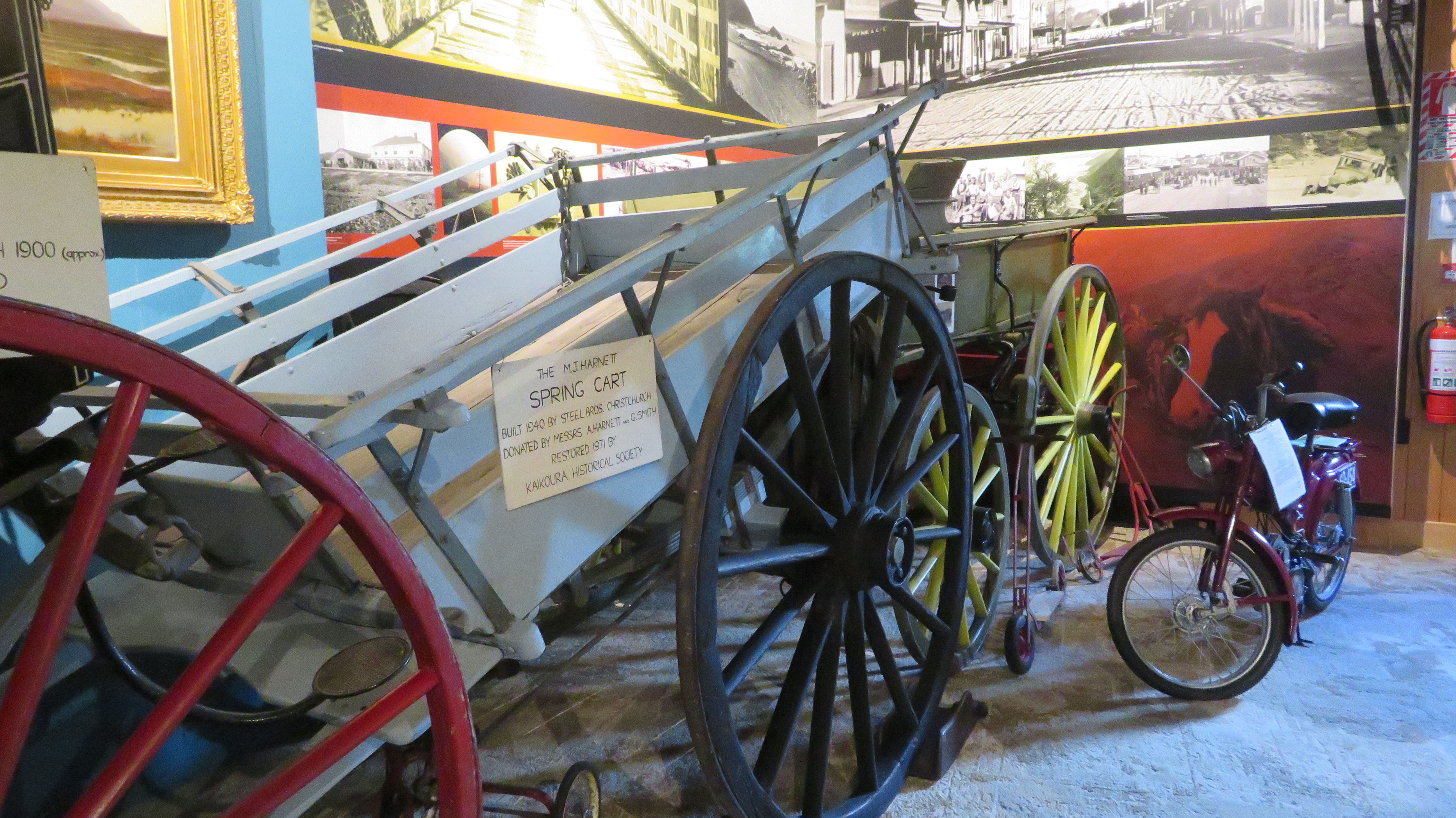
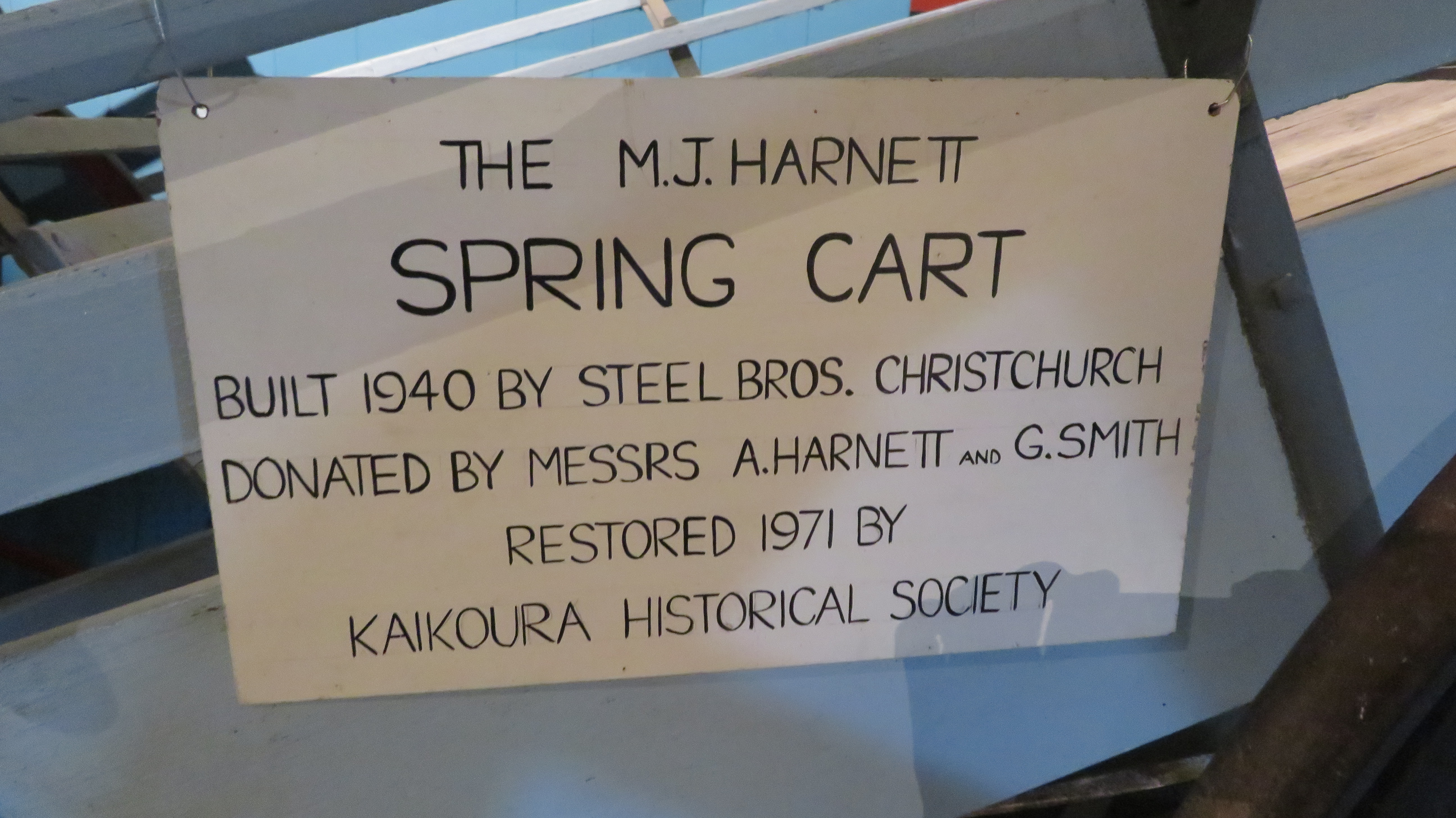
There is also a reconstruction of a jailhouse, a faithful reconstruction of a local store – Davidsons Store – and several full size carts/buggies.
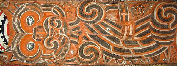
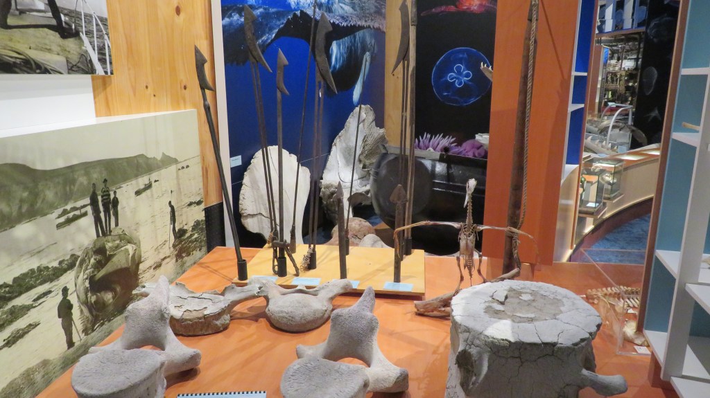
The following pictures give a flavour of the other displays to be found. Unlike many other local/regional museums, here the Maori history of the area is sympathetically integrated into each display rather than being segregated and being treated as something ‘other’. Thus, in the display on fishing the history is explained from its very beginnings before the arrival of Europeans up until most recent times. It is refreshing to see the Maori story being told as an integral part of a places history. Below is a short slide show of some of the fishing display as well as the whaling history.

https://kaikoura-museum.co.nz/
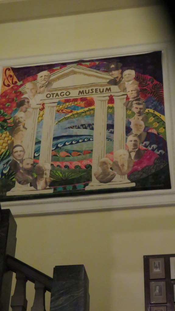
Otago Museum
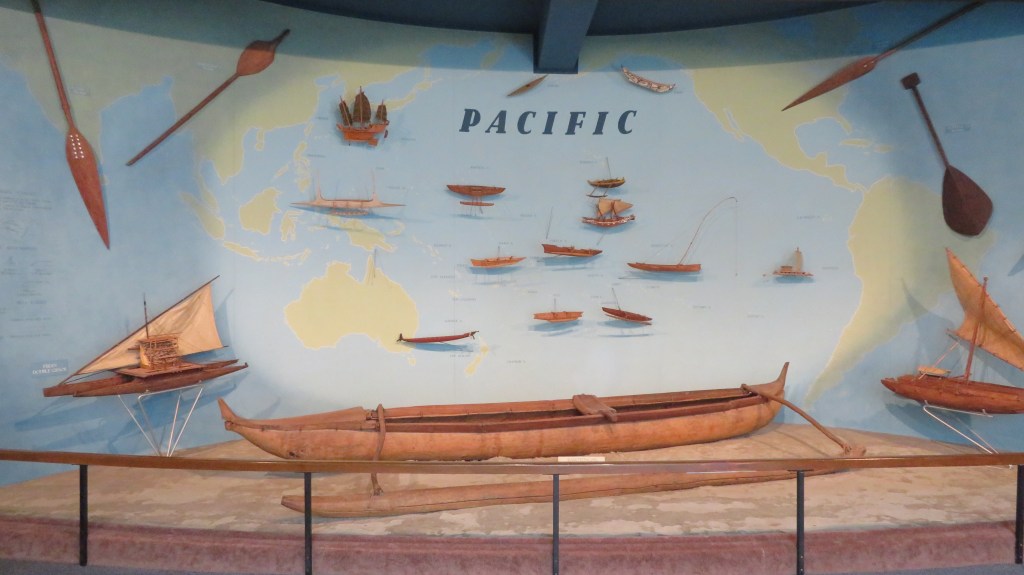
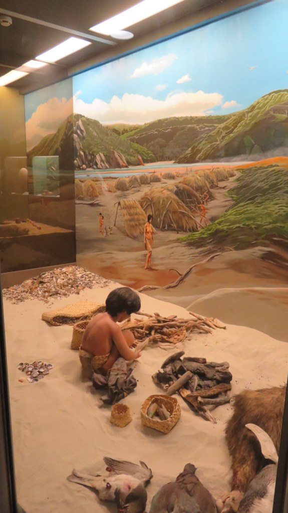
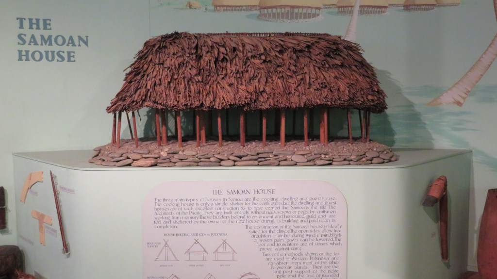
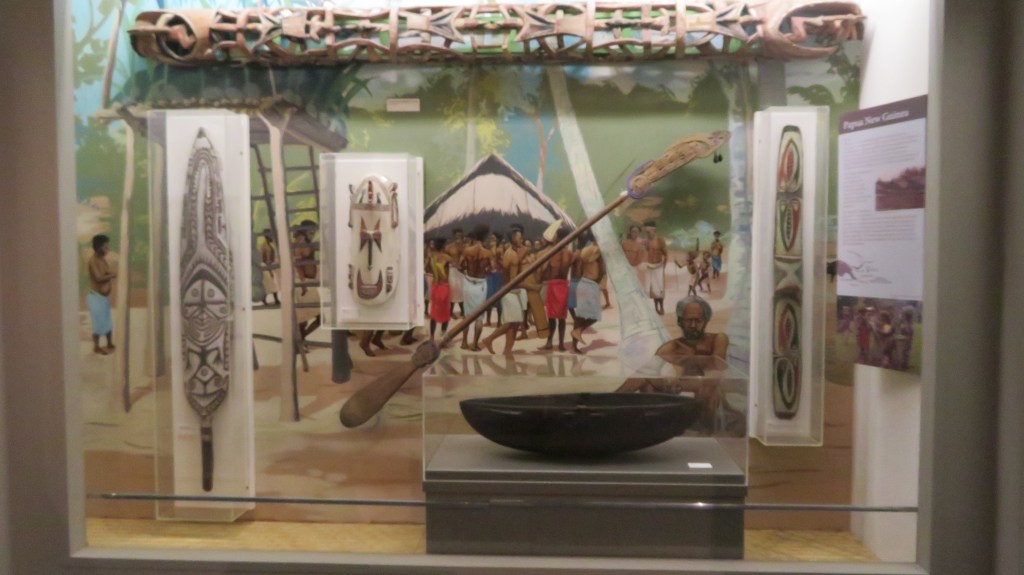
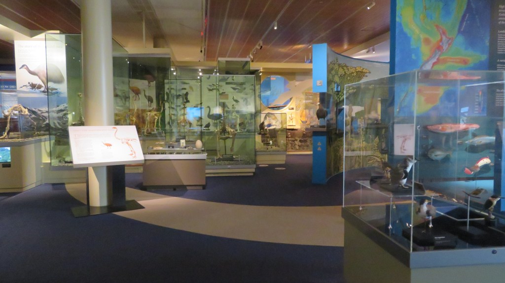
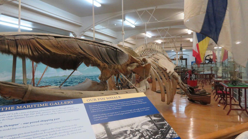
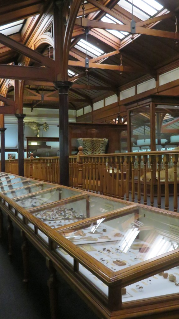
Otago Museum is situated in the heart of Dunedin and has close links to the University of Otago. Unlike the other museums in this post, Otago Museum is much larger with multiple rooms covering a range of subjects including geology, natural history, the Pacific Islands, world archaeology, early Maori history, colonial history and much more.

Interestingly the museum itself started life as a collection of rocks. It was during the 1865 New Zealand Exhibition in Dunedin in which Sir James Hector displayed a collection of geology samples he had collected during the Geological Survey of Otago. He labelled them ‘Otago Museum’ and thus the museum was born. After the exhibition the rocks stayed in Dunedin and were housed in the old Exchange Building which became the Otago Museum for ten years.
The first curator was Frederick Wollaston Hutton and it was under his management that the collection expanded eventually outgrowing the Exchange. In 1877 a new museum was opened and it is still there today, albeit with some embellishments. When opened the museum held 3674 items, today there are some 1.5 million objects and only a small proportion of those are displayed in the eight permanent galleries.
- Animal Attic – a haven of taxidermy
- Beautiful Science – digital installations
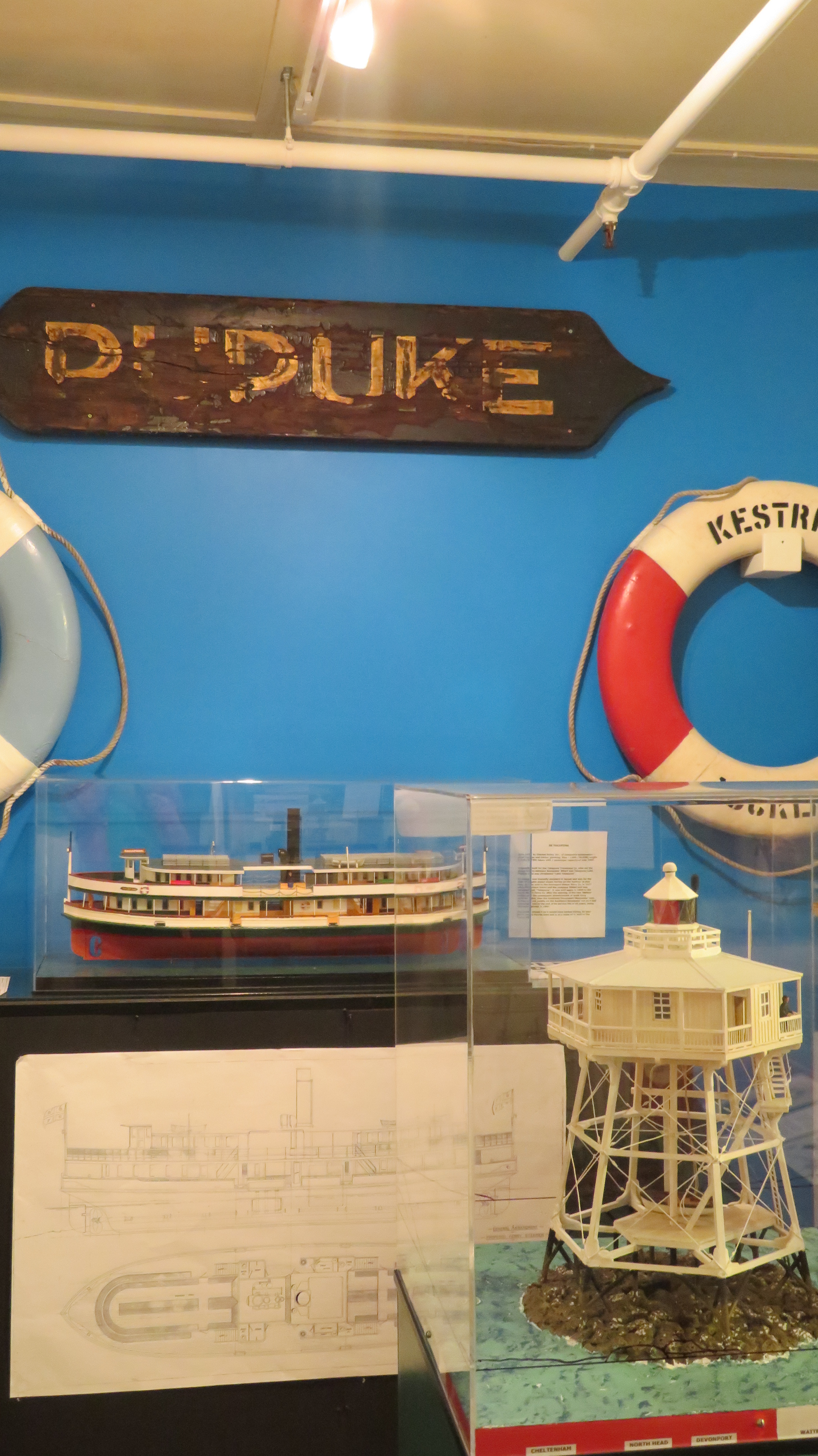
- Maritime – celebration of Dunedins maritime history
- Nature – New Zealand’s natural history with emphasis on the South
- Pacific Cultures – art and culture of Oceania
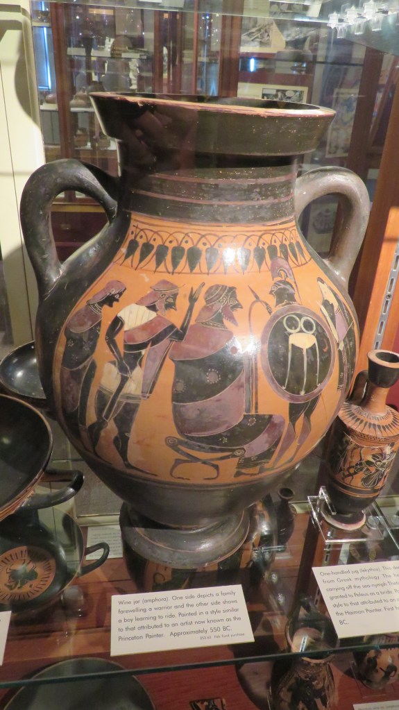
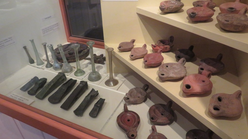
- People of the World – Egyptians, Greeks, Romans and more
- Southern Land, Southern People – the prehistoric past
- Tangata Whenua – the taoka of Kai Tahu, the South Islands principal iwi
I only had a brief time to explore the museum, it will definitely be on my list to revisit should I ever get to Dunedin again. The following are handful of photos from this large regional museum.

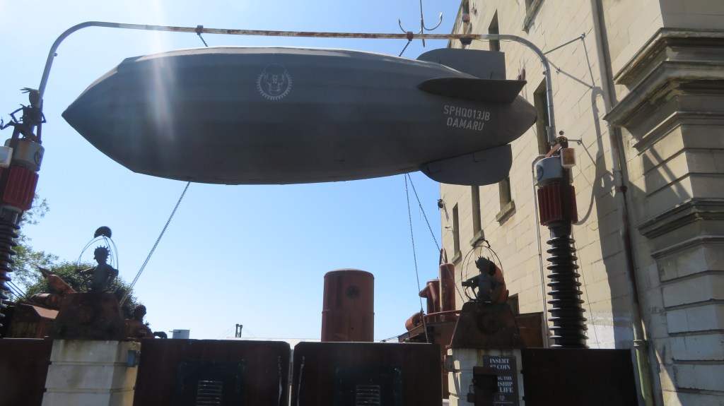
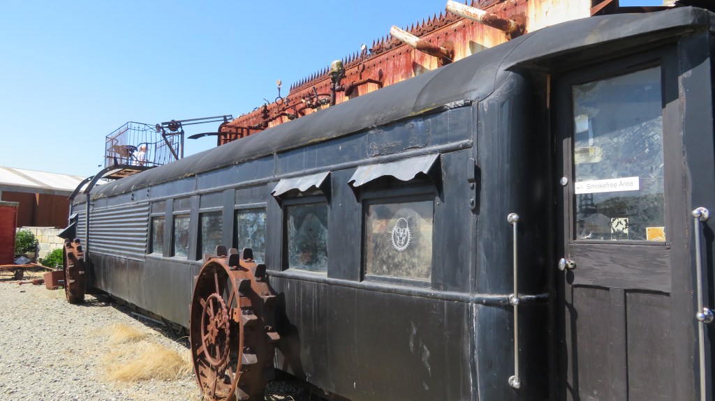
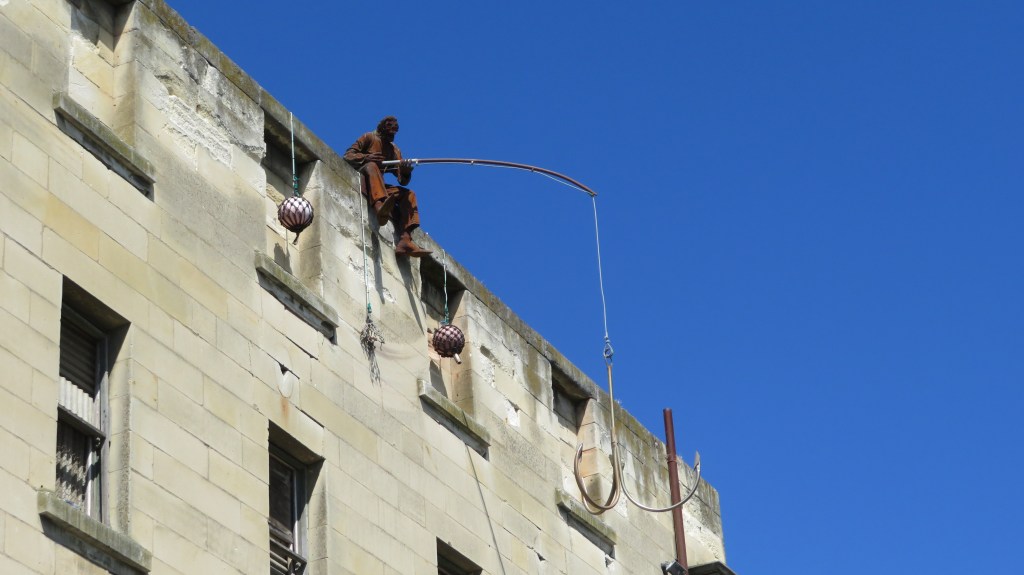
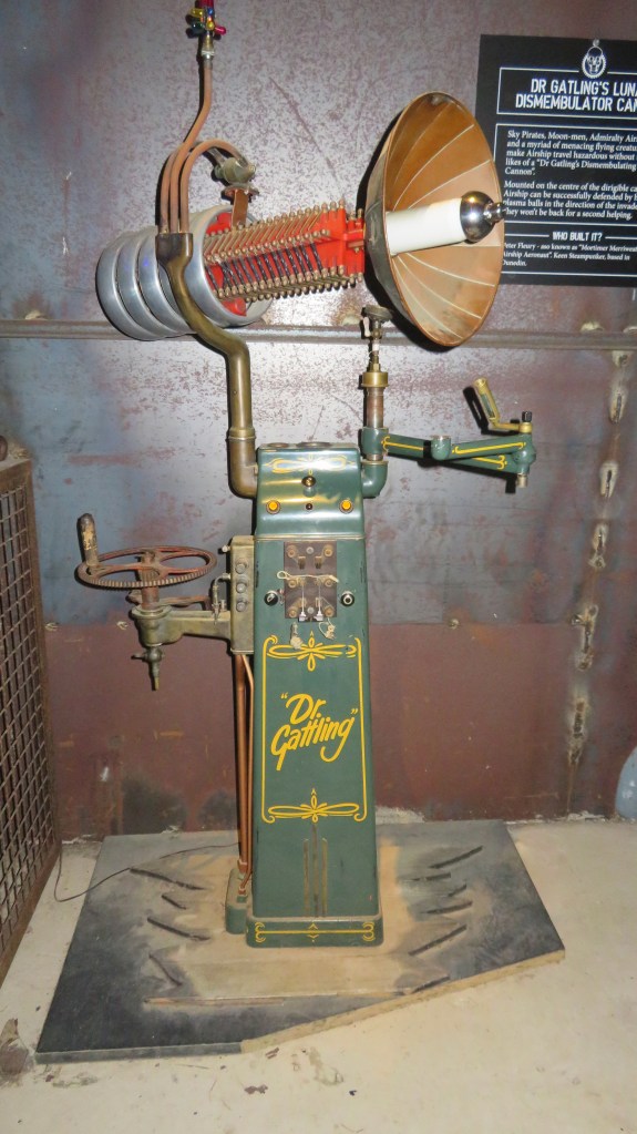
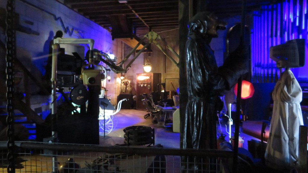
Steampunk HQ
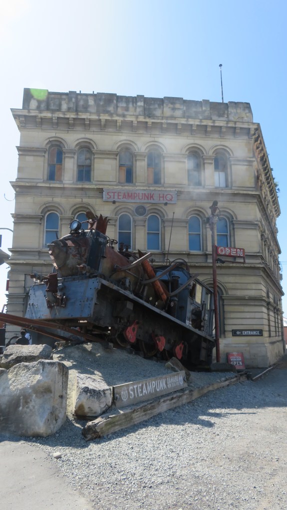
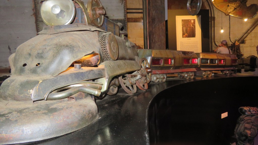
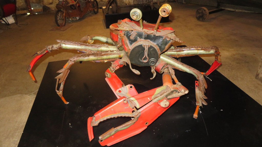
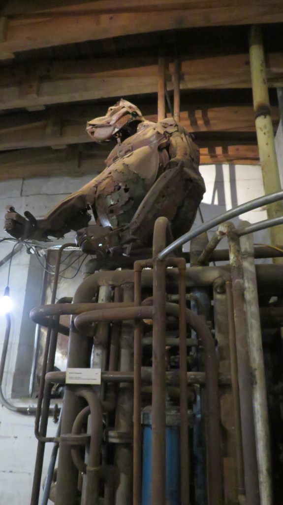
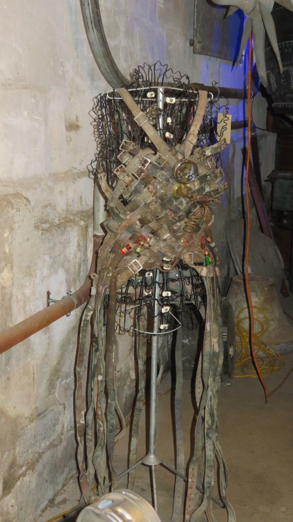
Defying the norms of classification this extraordinary museum (or is it an art gallery?) will often have you wondering if you have accidentally been transported into some strange dimension. Situated at the entrance of the Victorian precinct in the beautiful town of Oamaru, it is perhaps the most unexpected and quirky delight. Founded in 2011 by a group of people who are passionate about steampunk and wanted to share that passion.
Steampunk (in the words of HQ itself) ‘is a quirky and fun genre of science fiction that features steam-powered technology. It is often set in an alternate, futuristic version of 19th century Victorian England…’ I would also add that there can also be Mad Max or even a Frankenstein vibe to some of the inventions, making one wonder what is going on in some peoples minds.
Overall, it is a fascinating place to visit and certainly offers up a distinct visitor experience which you will not likely forget. Below are a few photos to give you an idea of what to expect.

https://www.steampunkoamaru.co.nz/
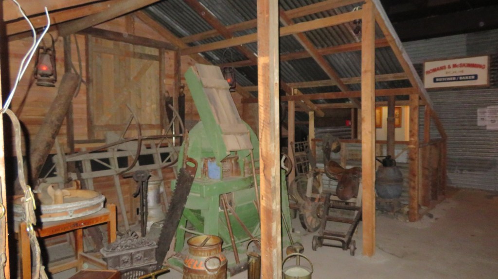
Lakes District Museum and Gallery
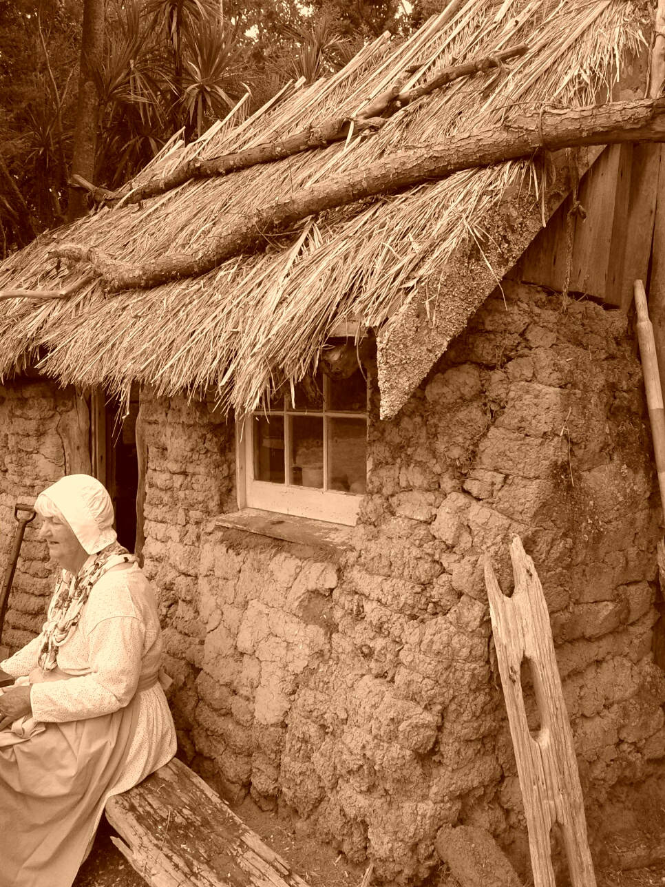
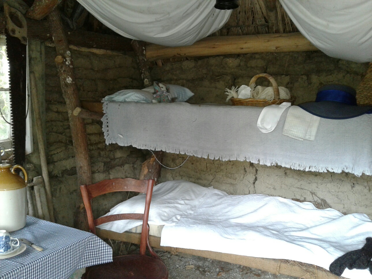
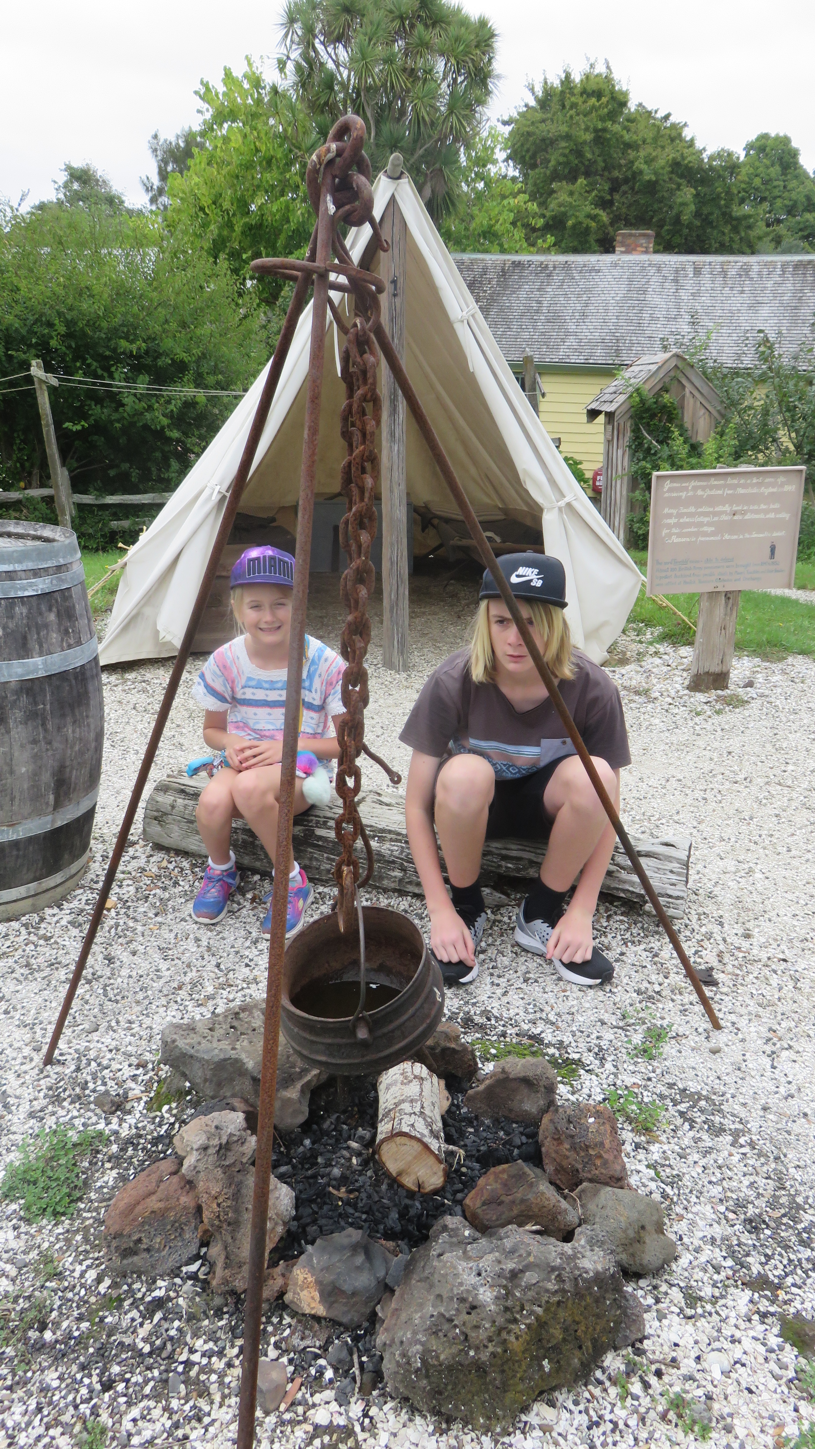
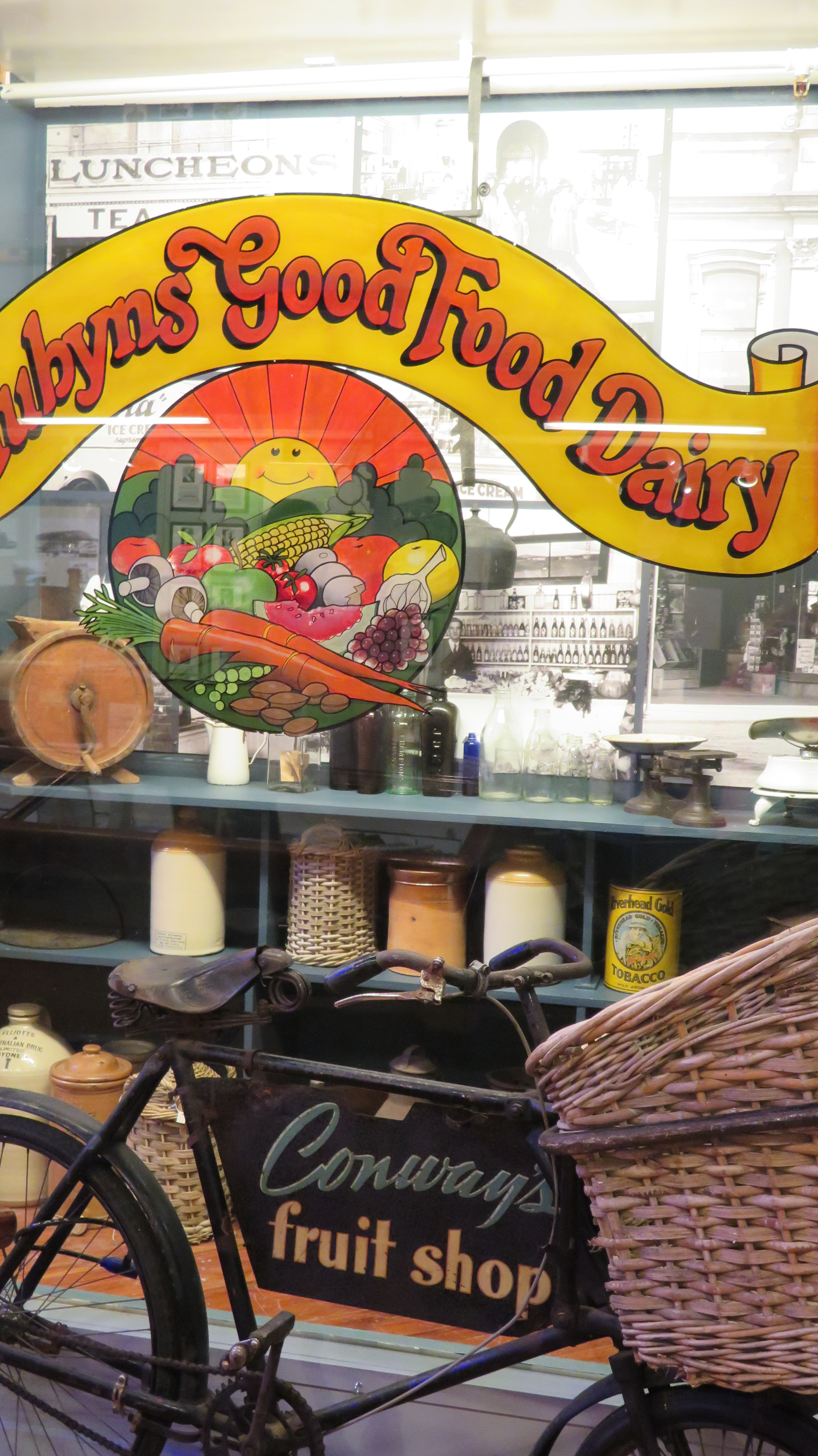
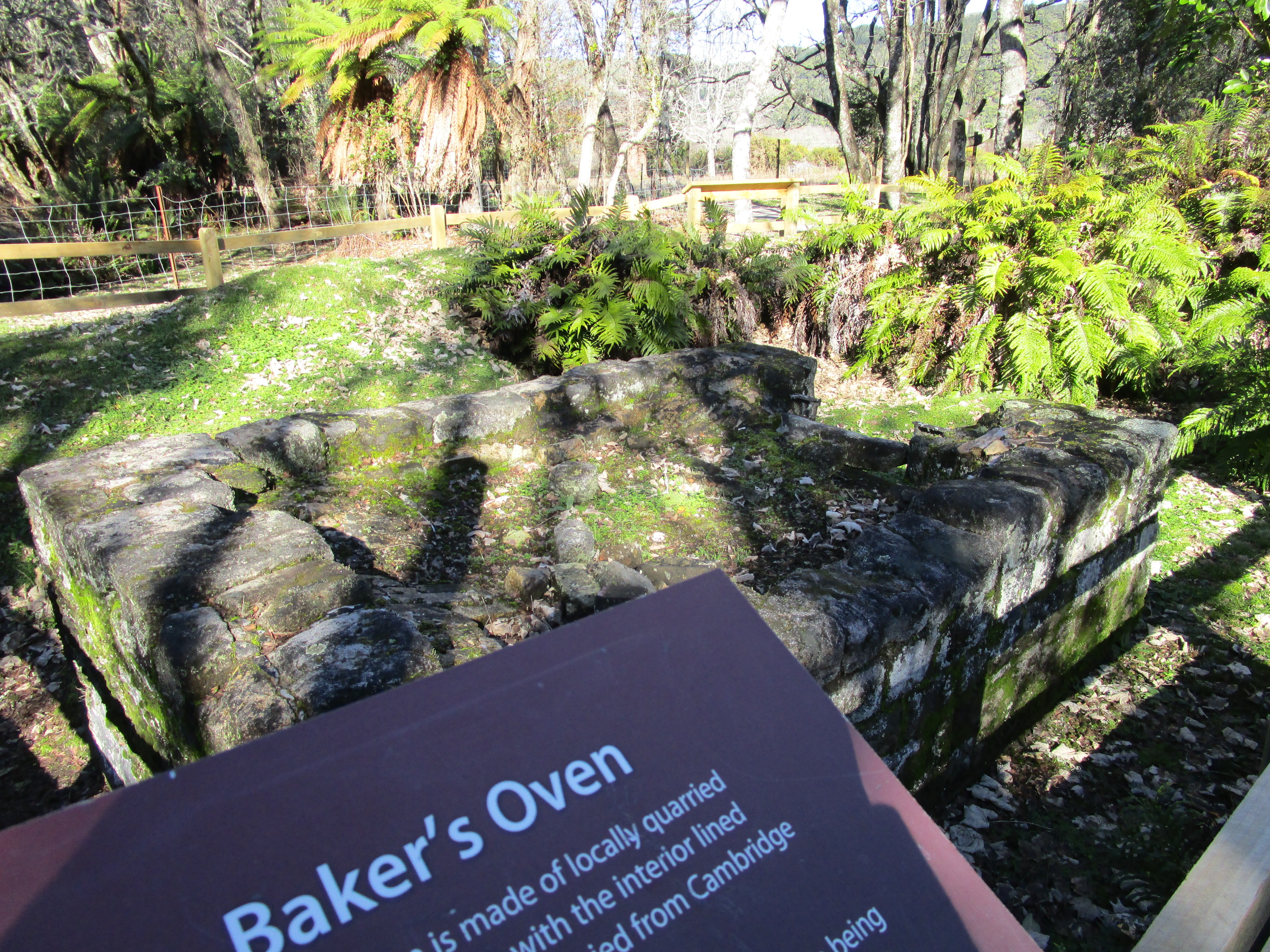
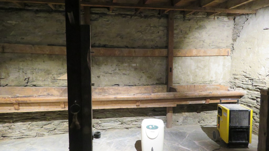
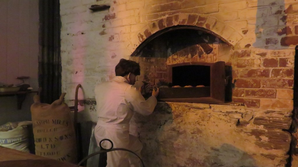
This regional museum can be found in the heart of Arrowtown, established in 1948 it was originally situated in the billiard rooms of the Ballarat Hotel. In 1955 it moved to its current home in the old Bank of New Zealand building. In the following photos you will see that the museum encompasses the original bank’s stables and the original bakers oven which were built around 1875.

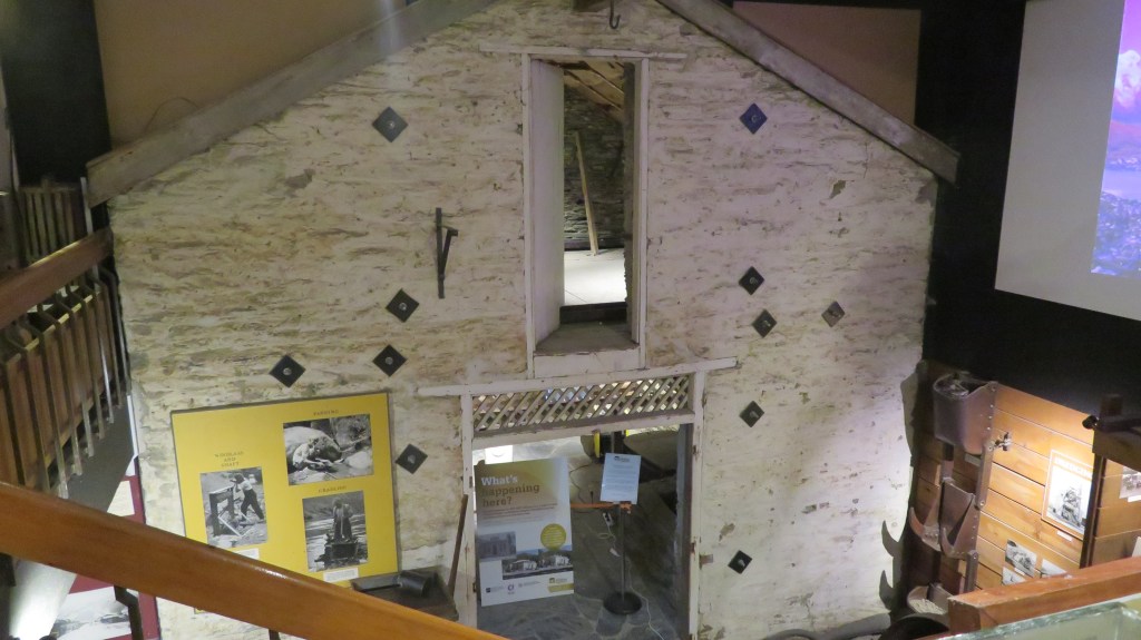
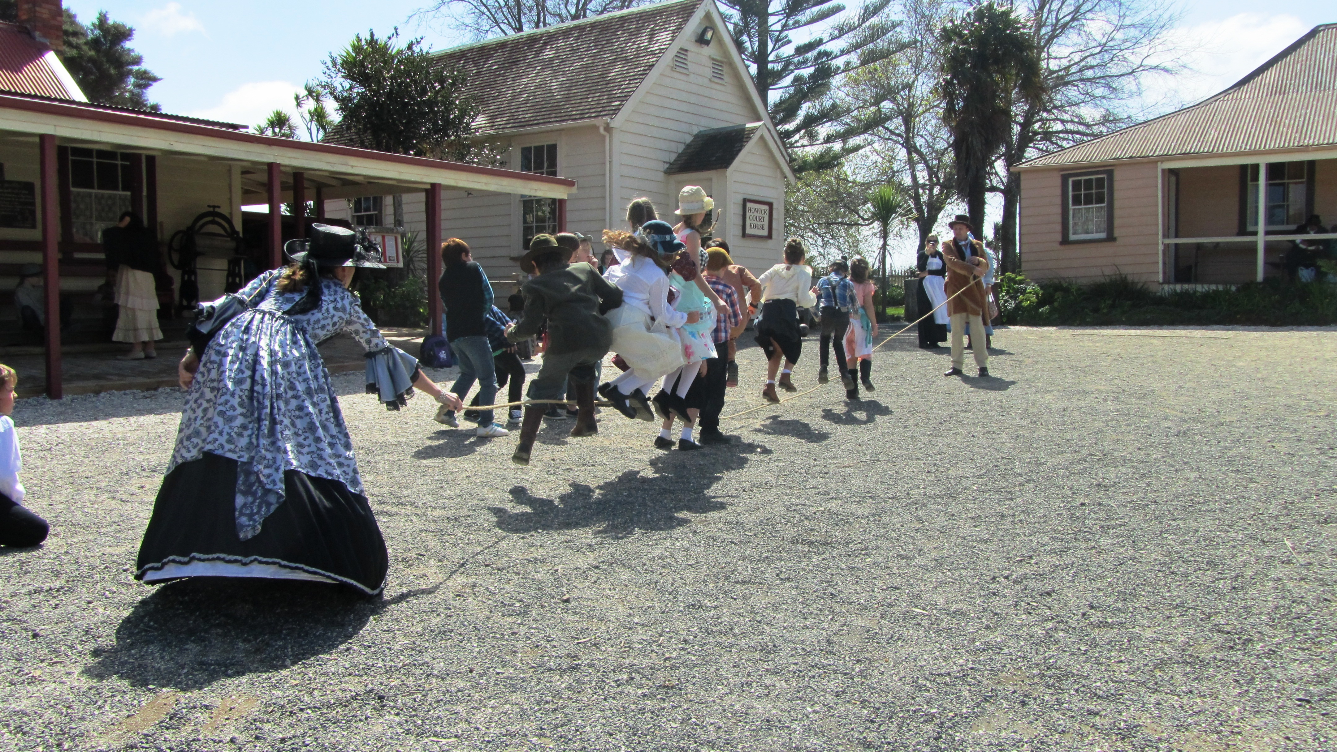
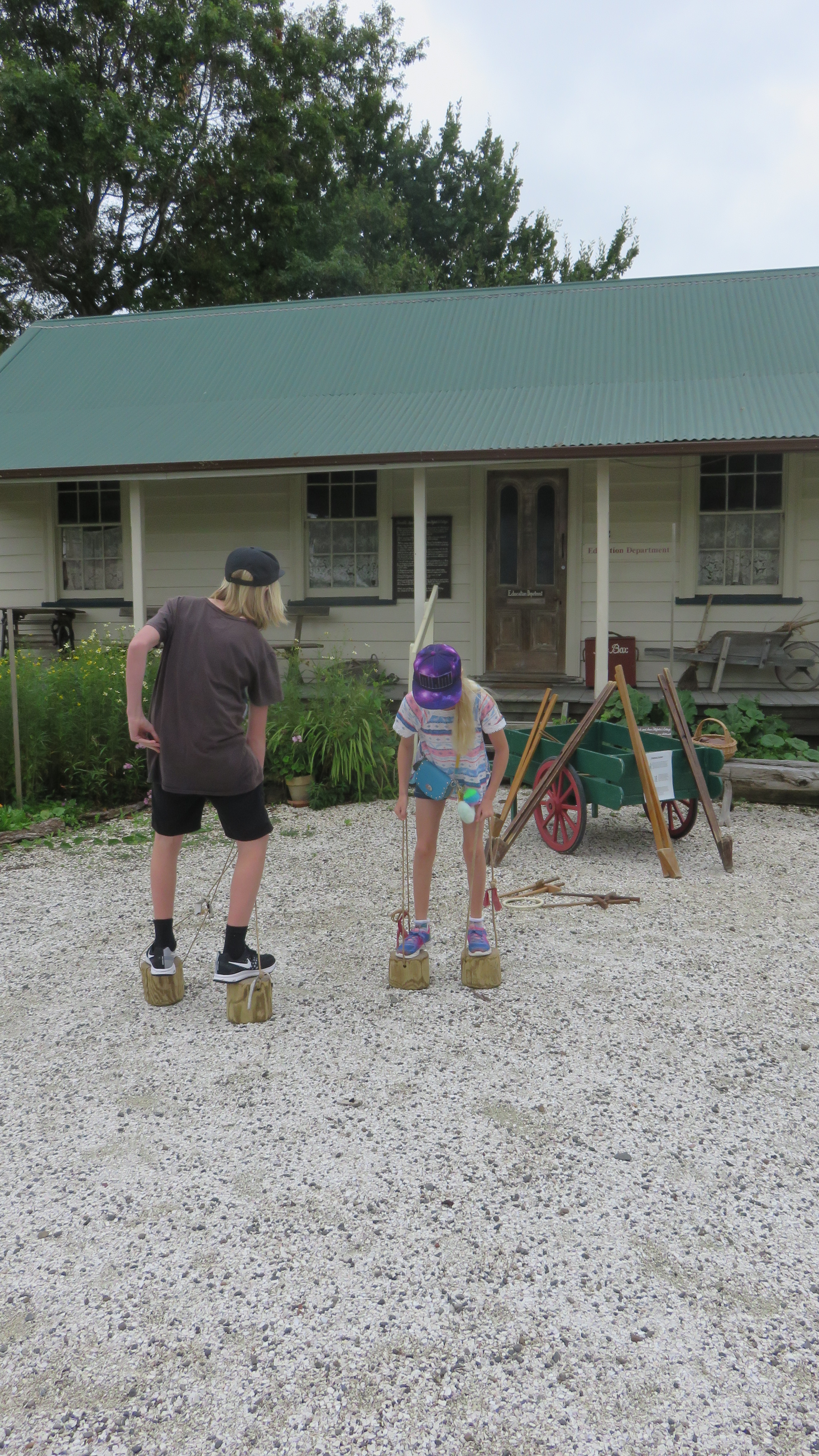
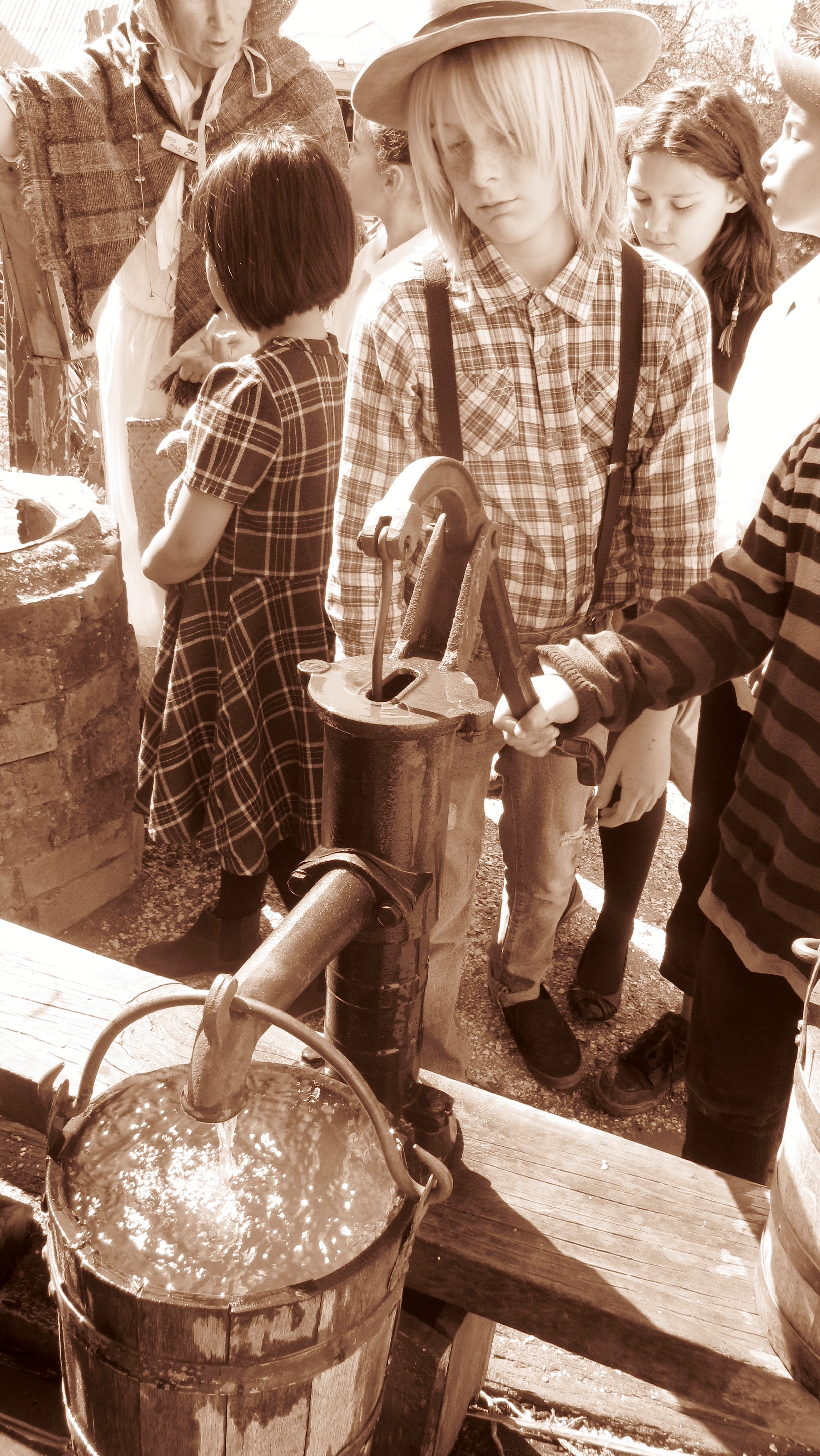
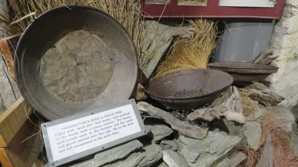
The museum itself documents the social history of the gold rush era as well as the early pioneers and farmers of the area. An unexpected delight and probably the teenagers favourite was the recreation of a street in the lower part of the museum. Here we found a ‘grog’ shanty complete with a town drunk; a blacksmith’s smithy and a Victorian school house.


https://www.museumqueenstown.com/
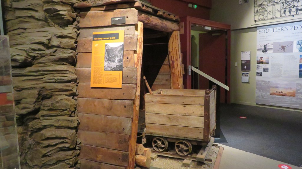
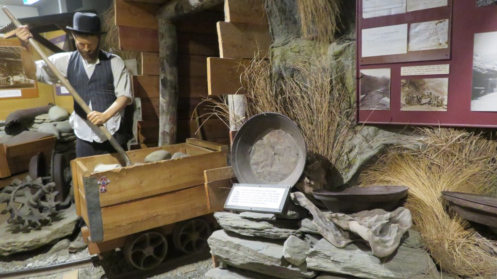
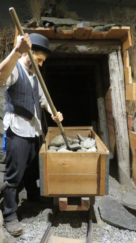
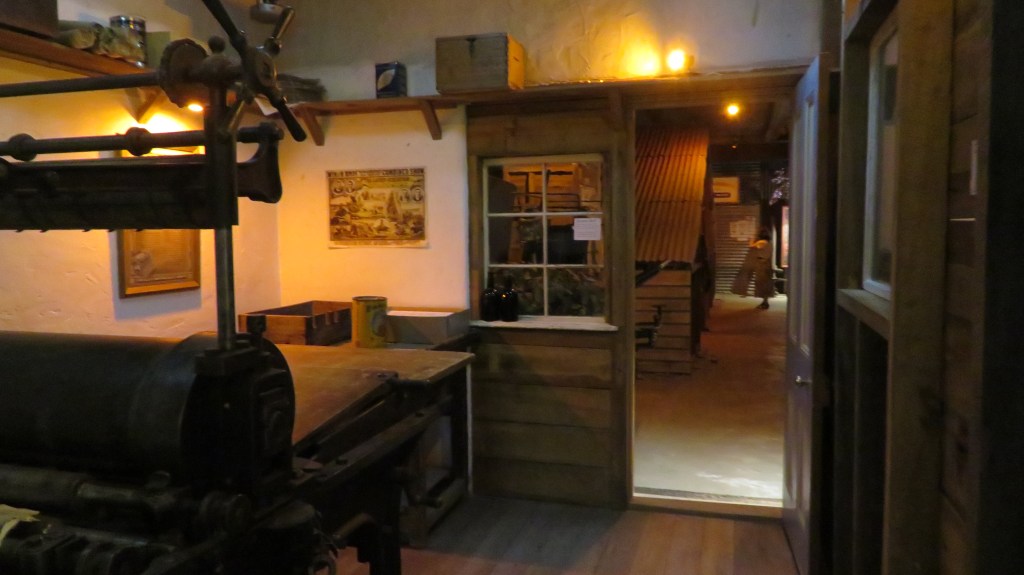
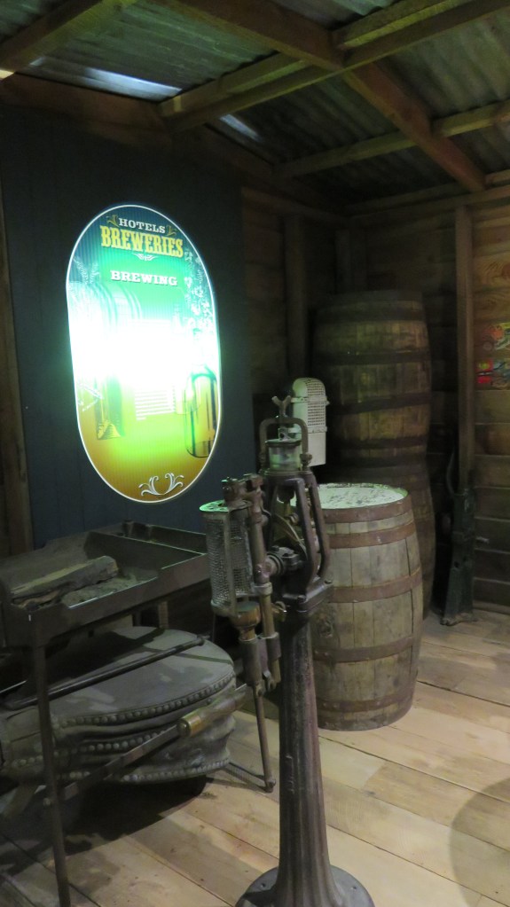
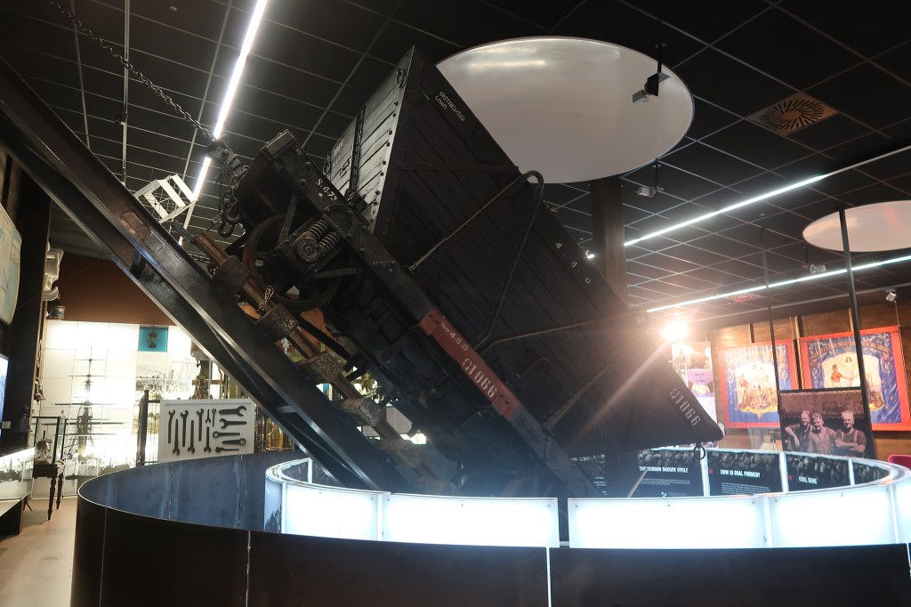
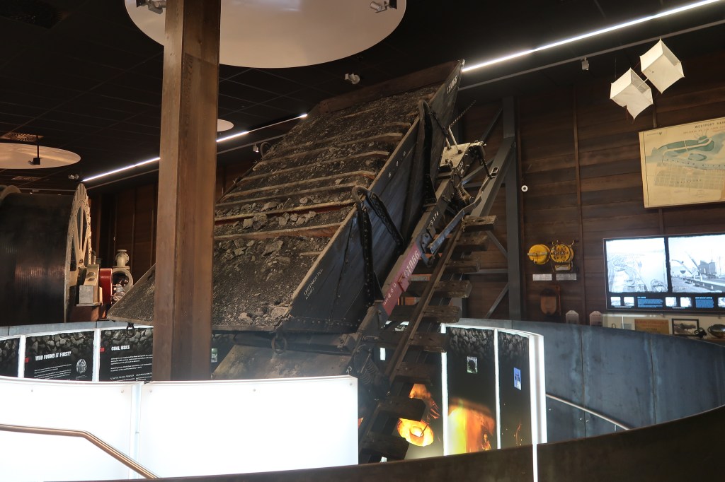
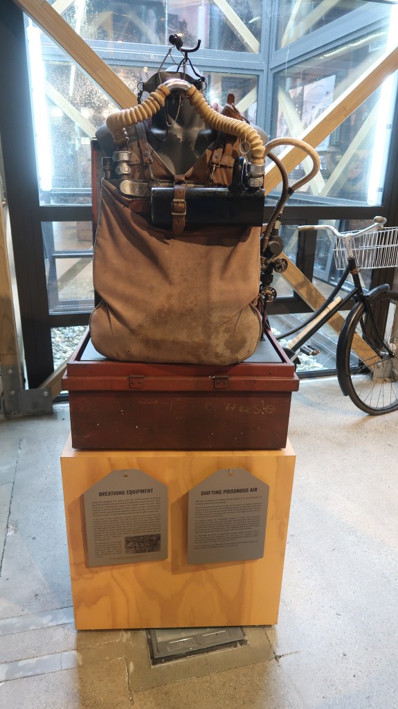
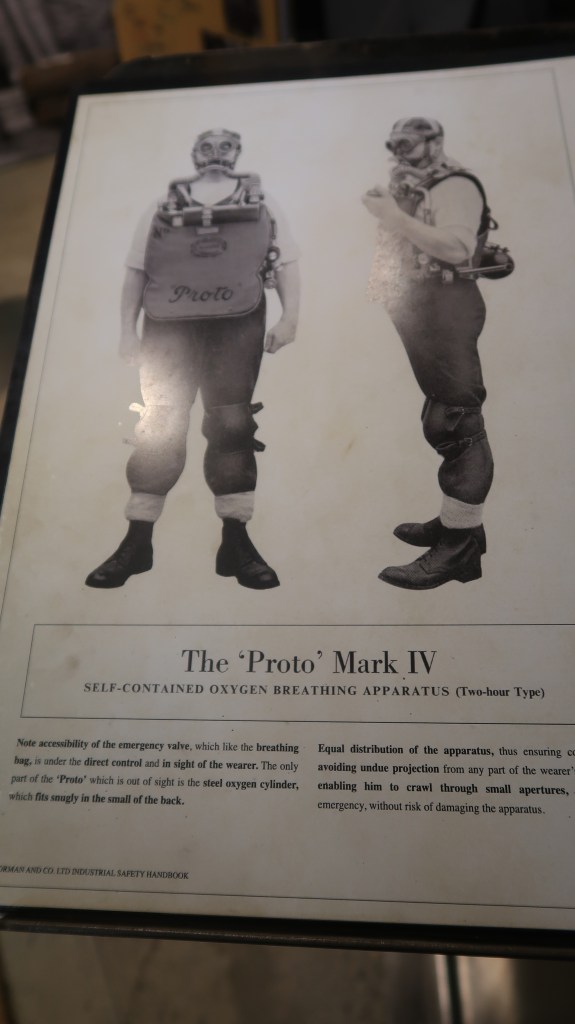
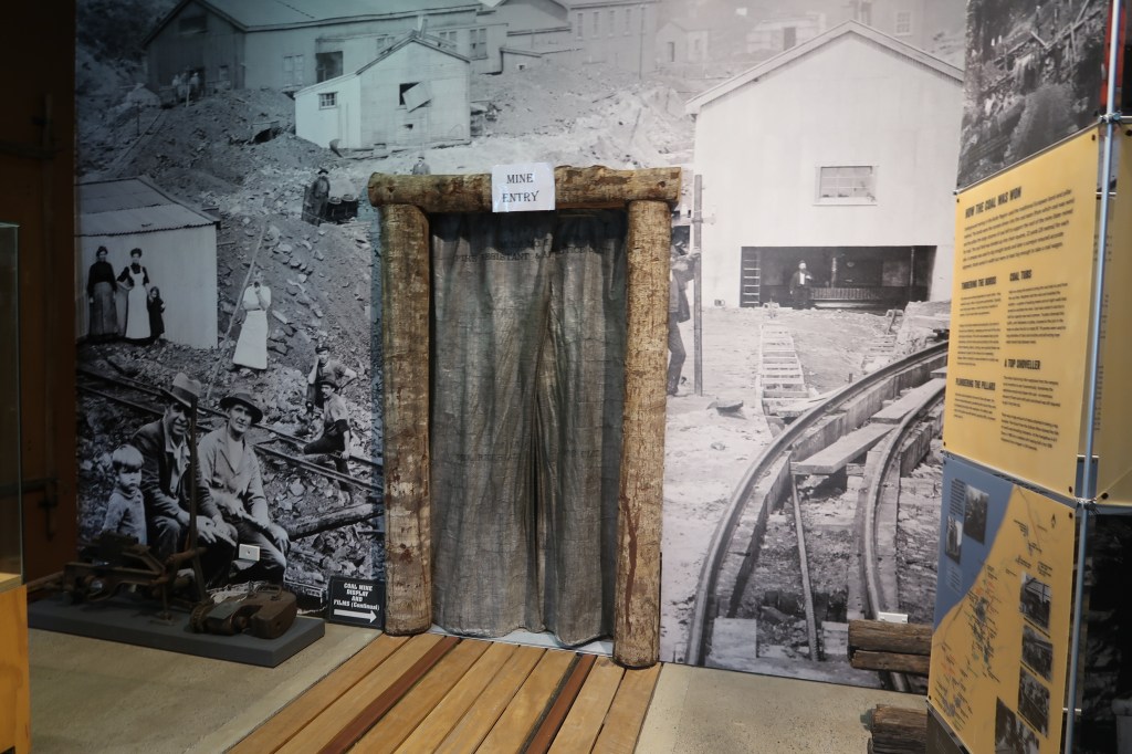
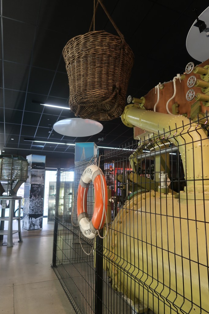
Coaltown
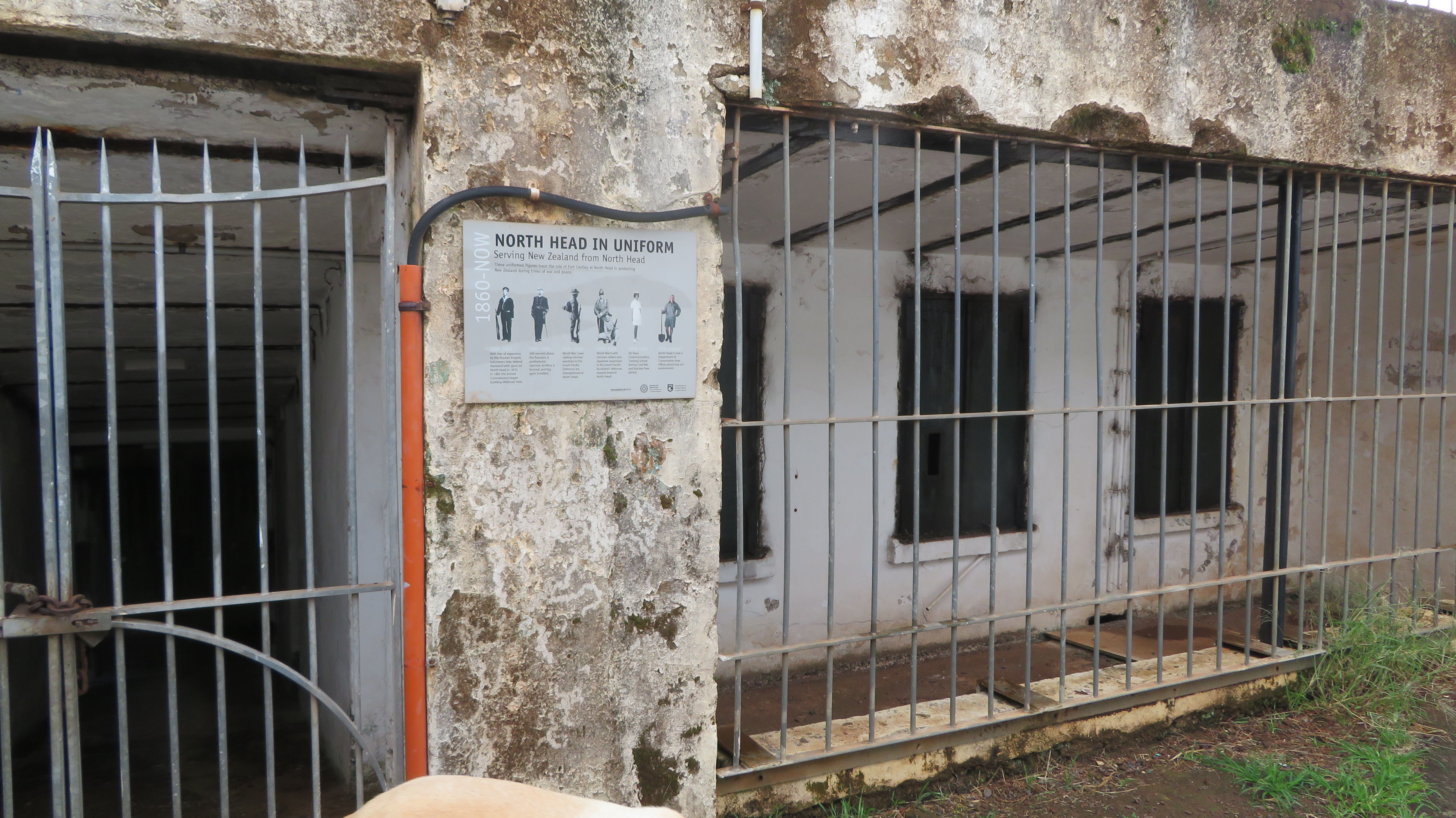
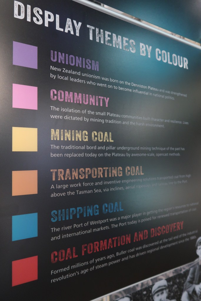
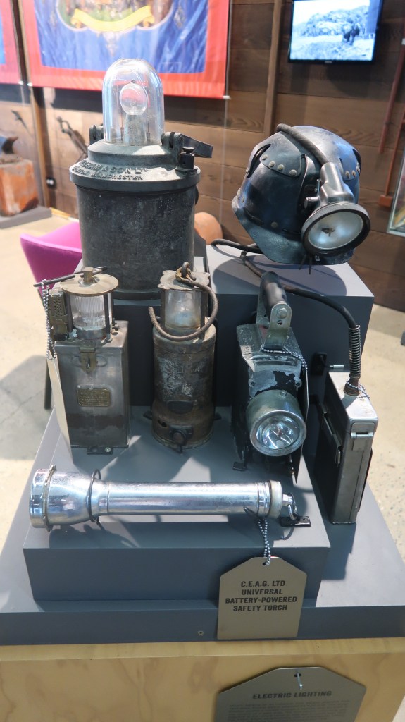
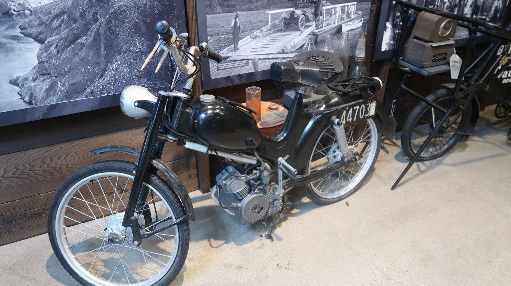
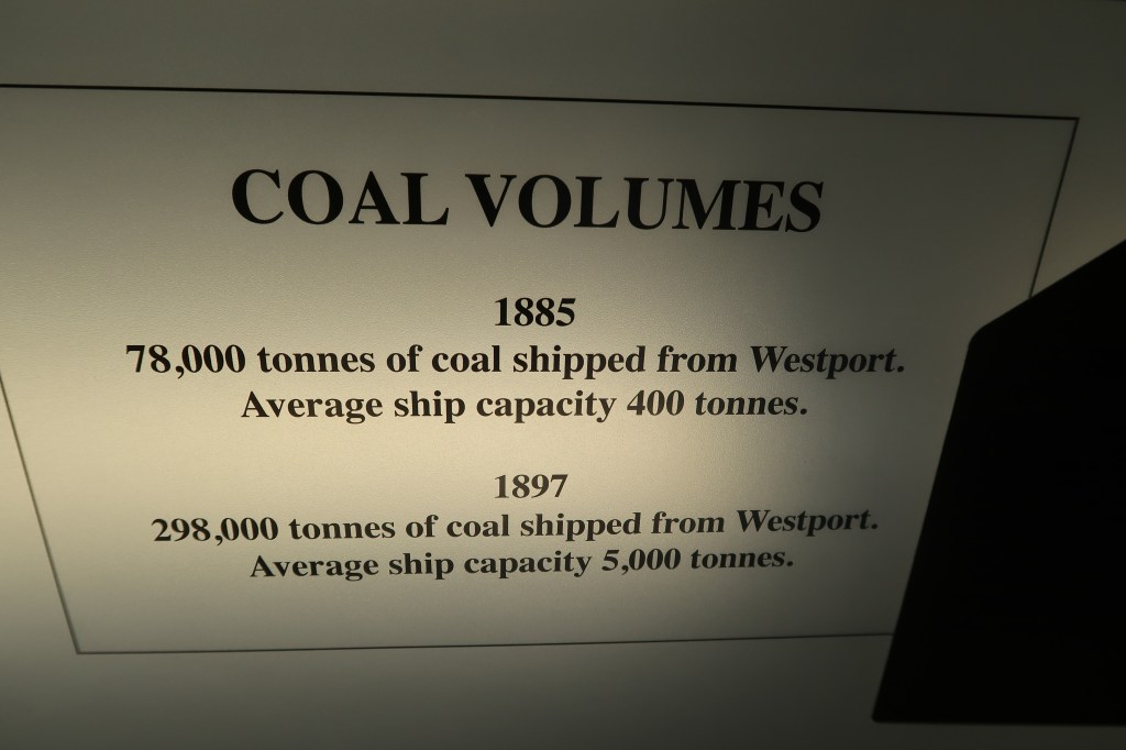
Coaltown can be found in the West Coast township of Westport, it is part of the i-site building and was opened in 2013. The museum itself is contained within a single large room sectioned off to cover the stories of this remote part of New Zealand – the Buller District of the norther west coast, including the towns of Denniston, Stockton and Millerton. Starting with the early gold rush days through to the settling of the district and then the development of the coal mining it not only looks at the technology of mining but also the geology which makes the area so favourable. There are displays on the maritime heritage (important for the transport of the coal to market), other forms of transport and unionism Importantly, the museum does not forget the people and the social aspects of a community dependent on mining and the men underground.
It was a cold and wet Sunday afternoon when I visited and to be honest if it wasn’t for the weather and wanting to stay dry for a bit I may not have ventured into the museum…a mining museum is not entirely my cup of tea. However I am glad I did, it is a well presented museum with plenty of stories to be told. Perhaps one of the most mind boggling displays was that of an eight ton coal wagon perched at high in the building showing the steepest part of the incline at Denniston…


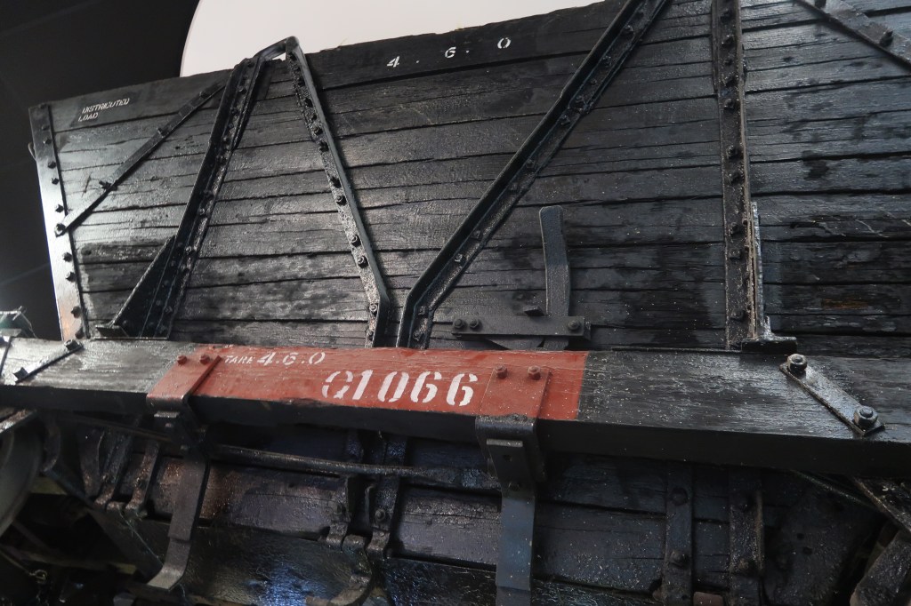
The following are just a few photos of some of the displays…


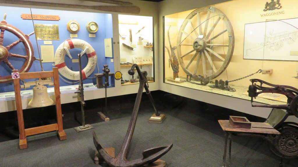
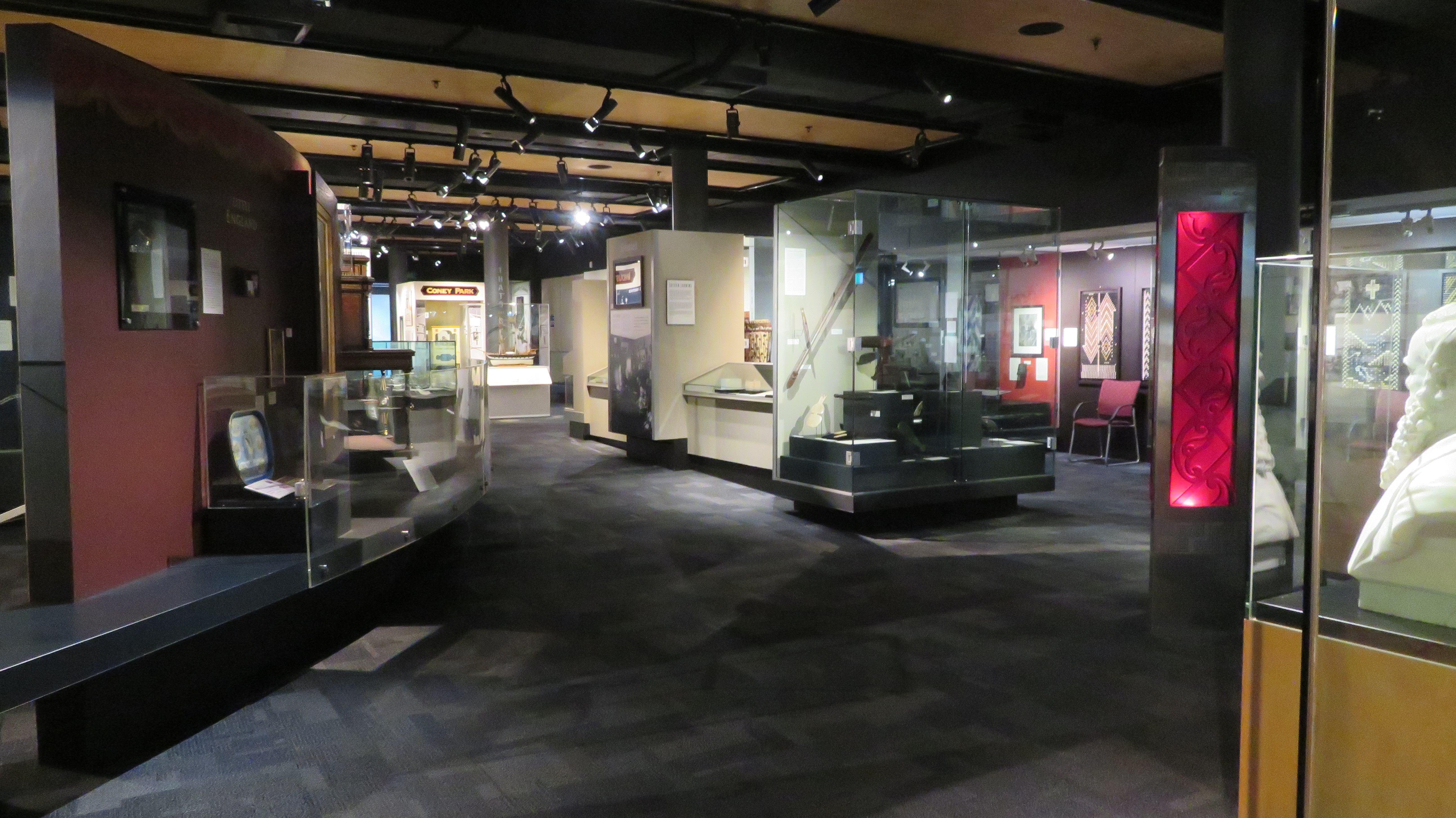
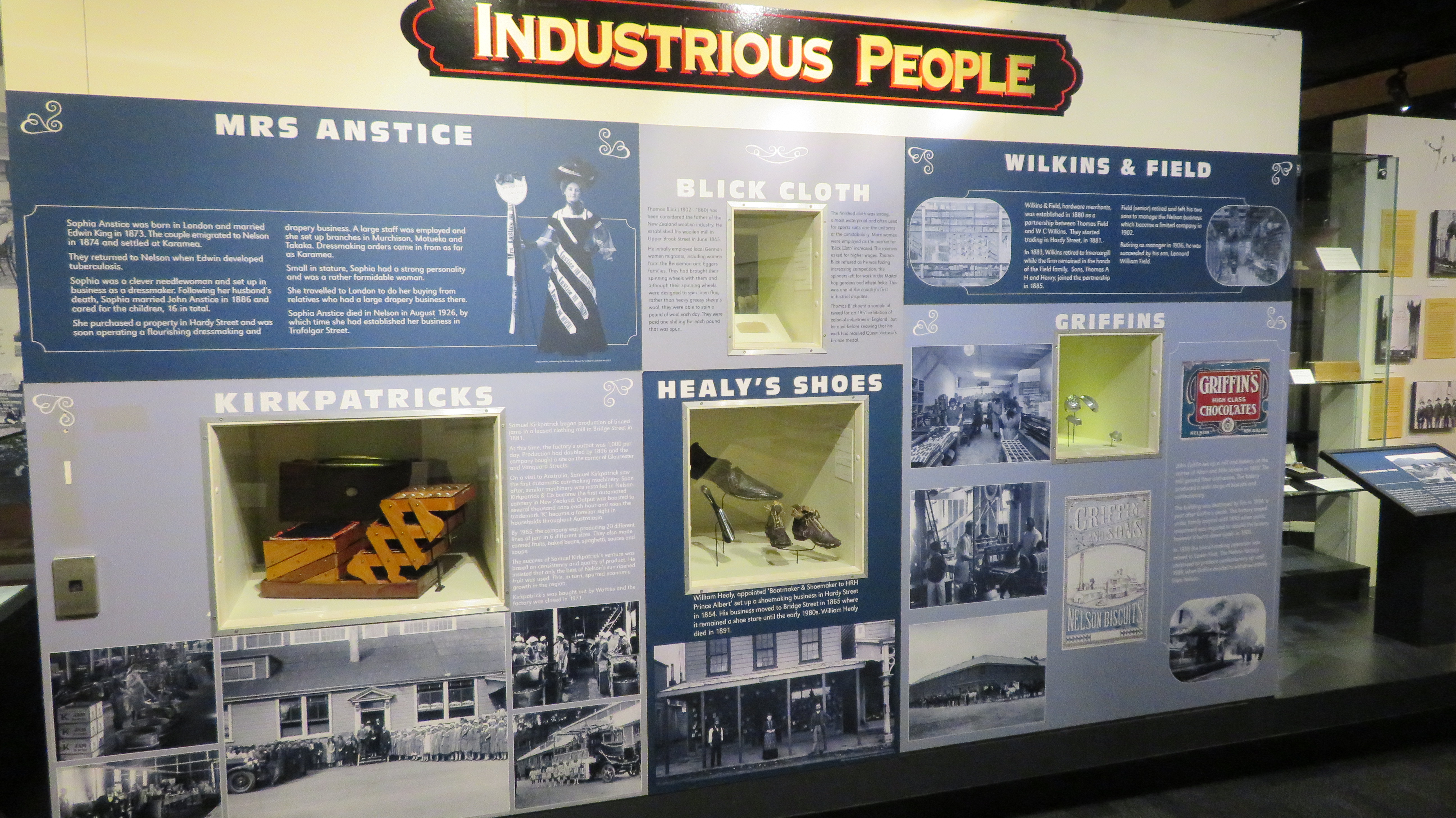
Nelson Provincial Museum
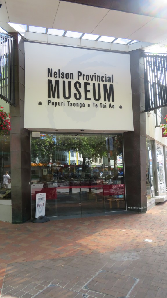
The final museum in this multitude of museums was the Nelson Provincial Museum and in it was exactly what you would expect of a museum which collates and tells the story of regional New Zealand. In it’s own words it ‘is the kaitiaki (guardian) of social and natural history and Taonga from the Nelson and Tasman regions. We are New Zealand’s oldest museum tracing our origin back to the foundation of the Literary and Scientific Institution of Nelson in May 1841.‘
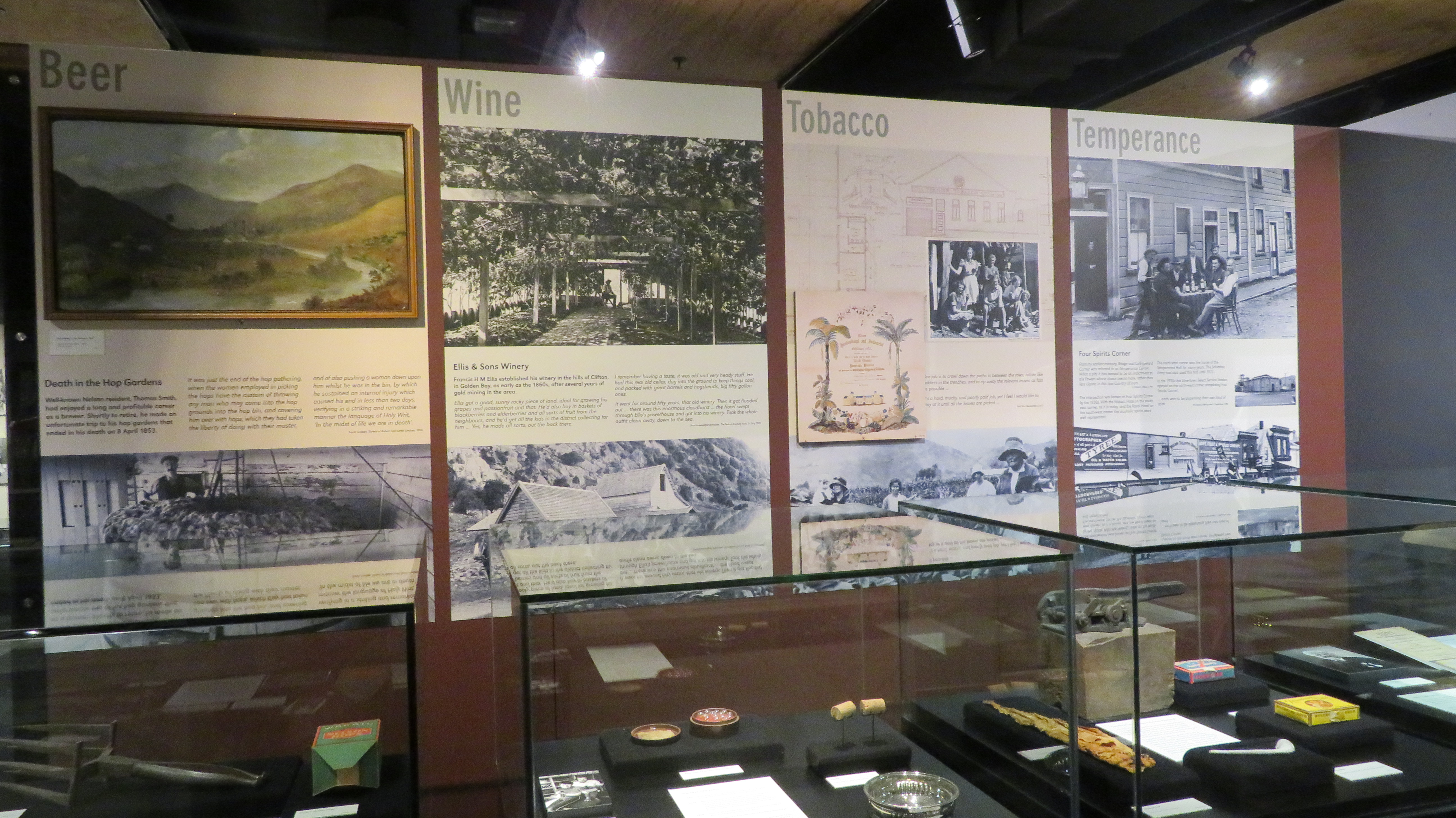
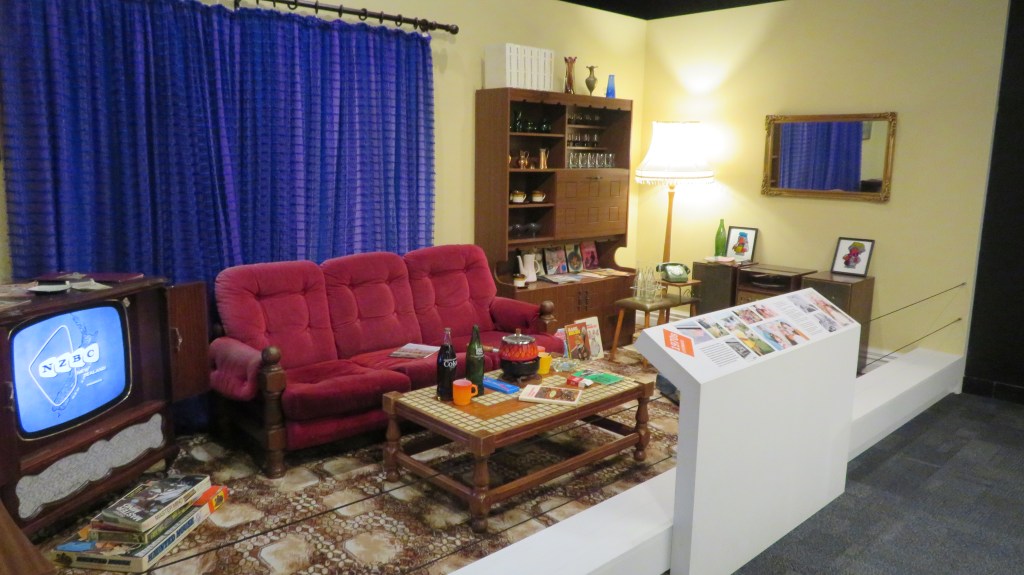
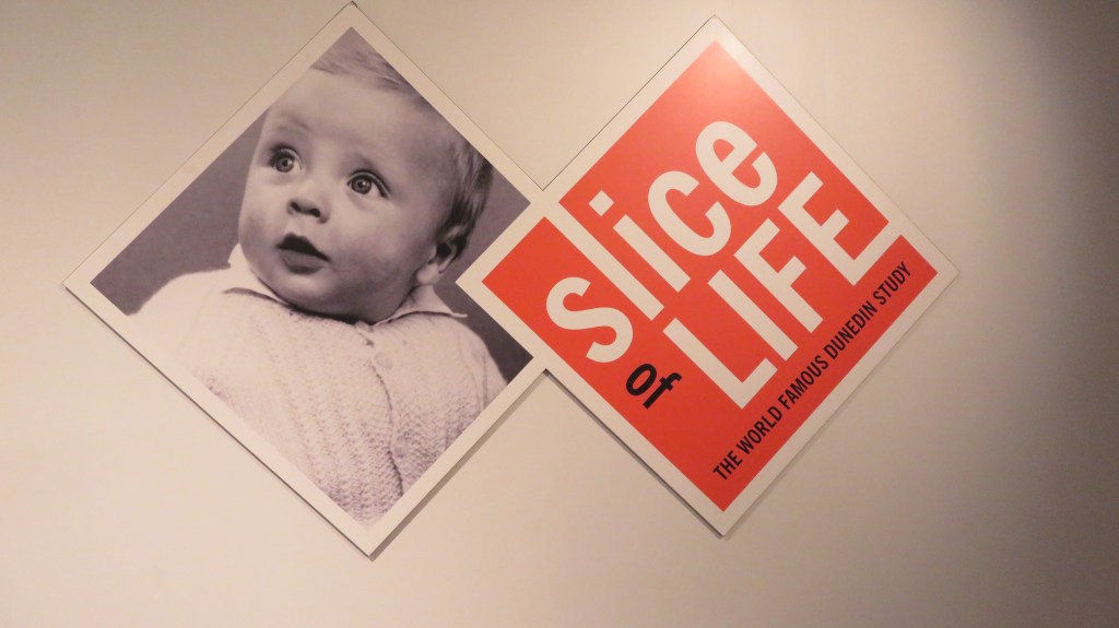
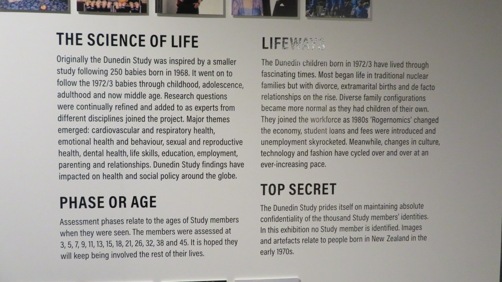
Beyond this there are additional exhibitions such as the ‘Tupaia. Voyage to Aotearoa’ and ‘Slice of Life: The World Famous Dunedin Study’. In the first I discovered that I am a rubbish navigator and in the second my son experienced some of what it was like to grow up in the 70s, 80s and 90s.


http://www.nelsonmuseum.co.nz/
Things I have learnt from visiting museums –
- There is a museum for everyone regardless of what your thing is.
- If you ever want to get a know an area in short period of time – go to the local museum.
- Maori history and European history do not need to be separated into them and us (see Kaikoura Museum)
- It is always the stories behind the objects/artefacts, the stories of the people and communities, which are the museums greatest asset.
- The tenacity of early settlers will always astound me – but then in most cases they had no other options.
- Sometimes bigger is not always better.